Botany Wood

Wood, Forest in Suffolk East Suffolk

England

Botany Wood

Farmland and pylons Near burnt House Farm.
Farmland and pylons Credit: JThomas

Botany Wood is a charming woodland located in Suffolk, England. It is situated in the heart of the county, approximately 5 miles south of the town of Woodbridge. The wood covers an area of around 50 acres, making it a significant natural asset in the region.

The forest comprises a mixture of deciduous and coniferous trees, creating a diverse and picturesque landscape. Oak, beech, and ash trees dominate the wood, providing a rich habitat for various species of plants and wildlife. Bluebells, primroses, and wild garlic are just a few examples of the vibrant flora that can be found carpeting the forest floor during the spring months.

Botany Wood is a haven for birdwatchers and nature enthusiasts, as it is home to a wide range of bird species. Visitors may spot woodpeckers, tawny owls, and nuthatches among the branches. The wood is also frequented by squirrels, rabbits, and other small mammals, adding to the sense of natural beauty and tranquility.

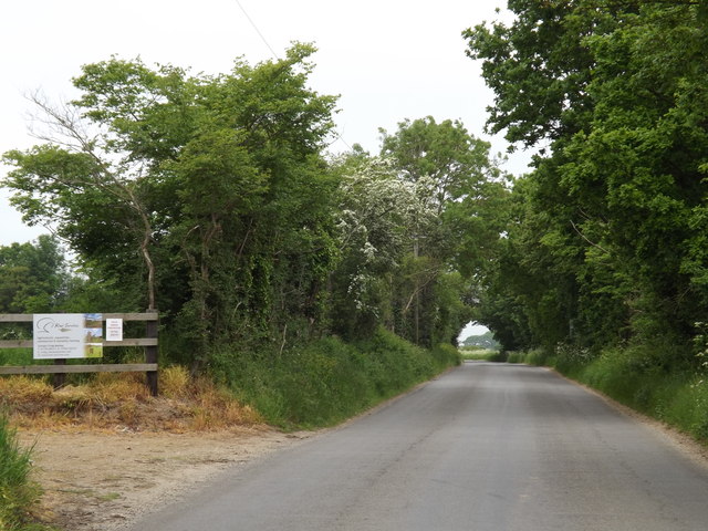
The wood is well-maintained and accessible to the public, with a network of paths and trails winding through the trees. These paths offer a peaceful and scenic environment for walkers, joggers, and cyclists. Picnic areas and benches are strategically placed throughout the wood, allowing visitors to relax and enjoy the surroundings.

Botany Wood is an ideal destination for those seeking a break from the hustle and bustle of daily life. Its natural beauty, diverse plant life, and abundant wildlife make it a truly enchanting place to explore and appreciate the wonders of nature.

If you have any feedback on the listing, please let us know in the comments section below.
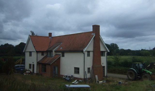
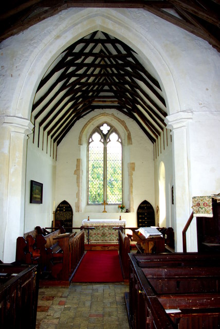
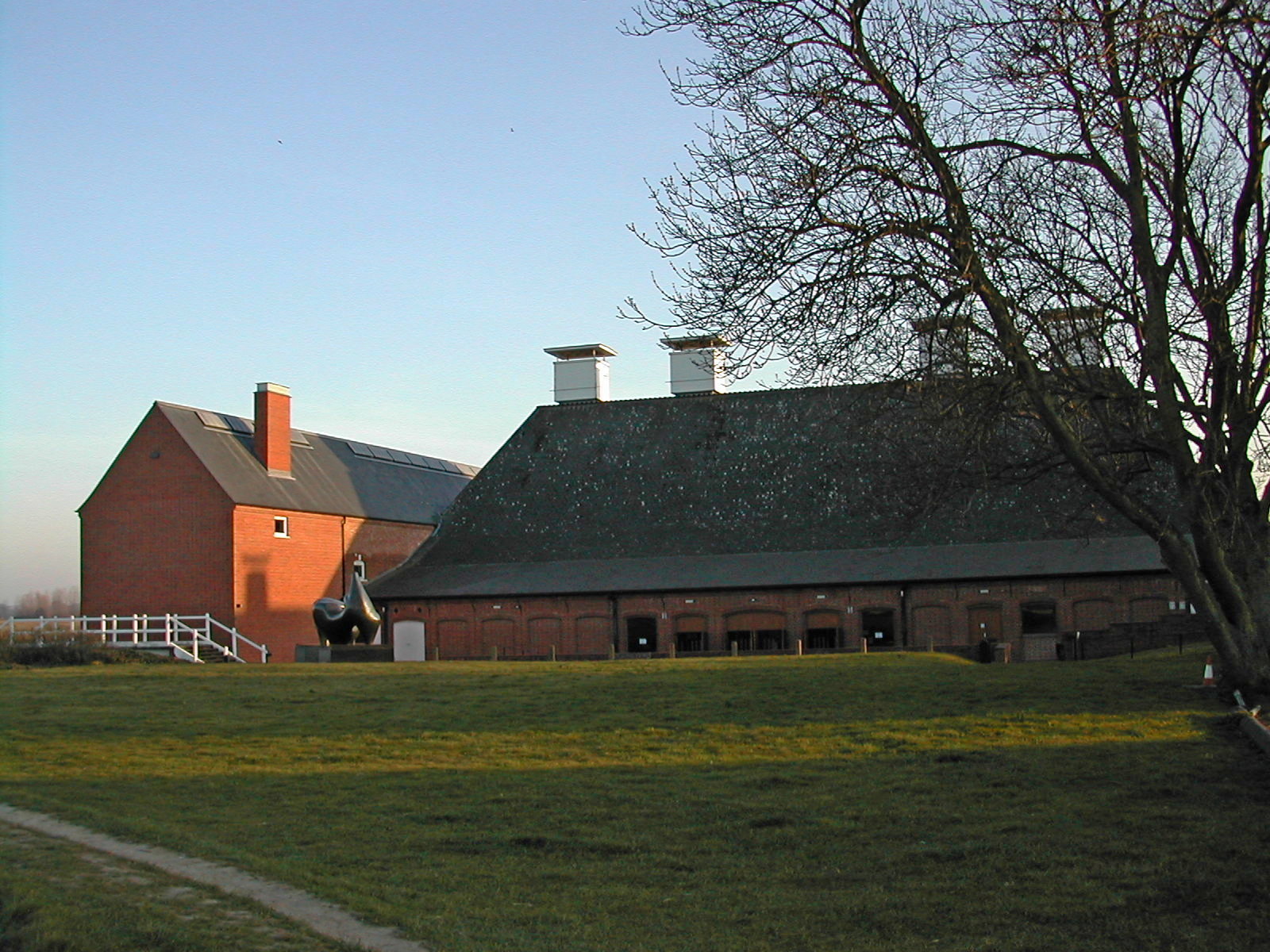
Botany Wood Images

Images are sourced within 2km of 52.175782/1.4759806 or Grid Reference TM3758. Thanks to Geograph Open Source API. All images are credited.

Farmland and pylons Near burnt House Farm.
Farmland and pylons
Near burnt House Farm.
Grazing near Gorse Farm
House, Botany Farm
House, Botany Farm
Church Road Looking north along Church Road Snape, Suffolk.
Church Road
Looking north along Church Road Snape, Suffolk.
St Mary's Church The west tower is of brick with the lower stages faced in stone.  The huge buttresses (obscuring a small Norman window) were added in the 18th century to counter the outward lean of the south wall due to subsidence on the hilltop site, the dramatic effect of which can be seen inside the church.
St Mary's Church
The west tower is of brick with the lower stages faced in stone. The huge buttresses (obscuring a small Norman window) were added in the 18th century to counter the outward lean of the south wall due to subsidence on the hilltop site, the dramatic effect of which can be seen inside the church.
Fragment of a rood screen Two panels of tracery from the upper part of the medieval screen are displayed on the wall of St Mary's Church.
Fragment of a rood screen
Two panels of tracery from the upper part of the medieval screen are displayed on the wall of St Mary's Church.
Inside St Mary's Church Looking west down the nave, the tremendous outward lean of the south wall is obvious.  The central window is Norman and is matched by a similar one on the north side.  Between the windows huge external buttresses counteract the outward thrust of the walls.  The roof has a scissor truss construction and the Georgian box pews are richly varnished.
Inside St Mary's Church
Looking west down the nave, the tremendous outward lean of the south wall is obvious. The central window is Norman and is matched by a similar one on the north side. Between the windows huge external buttresses counteract the outward thrust of the walls. The roof has a scissor truss construction and the Georgian box pews are richly varnished.
Chancel of St Mary's Church Pevsner, visiting in 1961, commented that this end of the church "seems all renewed".  The roof trusses echo those of the nave on a smaller scale.  The altar is flanked by Victorian decalogue boards.
Chancel of St Mary's Church
Pevsner, visiting in 1961, commented that this end of the church "seems all renewed". The roof trusses echo those of the nave on a smaller scale. The altar is flanked by Victorian decalogue boards.
Sternfield Road, Snape At the entrance to Church Farm
Sternfield Road, Snape
At the entrance to Church Farm
Church Farm entrance off Sternfield Road
Estate Agent Sale Board off Sternfield Road <span class="nowrap"><a title="https://en.wikipedia.org/wiki/Snape,_Suffolk" rel="nofollow ugc noopener" href="https://en.wikipedia.org/wiki/Snape,_Suffolk">Link</a><img style="margin-left:2px;" alt="External link" title="External link - shift click to open in new window" src="https://s1.geograph.org.uk/img/external.png" width="10" height="10"/></span>
Estate Agent Sale Board off Sternfield Road
Sternfield Road, Snape <span class="nowrap"><a title="http://kiwi-services.com/" rel="nofollow ugc noopener" href="http://kiwi-services.com/">Link</a><img style="margin-left:2px;" alt="External link" title="External link - shift click to open in new window" src="https://s1.geograph.org.uk/img/external.png" width="10" height="10"/></span>
Sternfield Road, Snape
Kiwi Services sign Off Sternfield Road
<span class="nowrap"><a title="http://kiwi-services.com/" rel="nofollow ugc noopener" href="http://kiwi-services.com/">Link</a><img style="margin-left:2px;" alt="External link" title="External link - shift click to open in new window" src="https://s1.geograph.org.uk/img/external.png" width="10" height="10"/></span>
Kiwi Services sign
Off Sternfield Road LinkExternal link
Church Farm sign off Sternfield road <span class="nowrap"><a title="https://en.wikipedia.org/wiki/Snape,_Suffolk" rel="nofollow ugc noopener" href="https://en.wikipedia.org/wiki/Snape,_Suffolk">Link</a><img style="margin-left:2px;" alt="External link" title="External link - shift click to open in new window" src="https://s1.geograph.org.uk/img/external.png" width="10" height="10"/></span>
Church Farm sign off Sternfield road
Snape Maltings wharf
St John the Baptist church A bright solid bank of daffodils set off the old church.
St John the Baptist church
A bright solid bank of daffodils set off the old church.
Snape Maltings entrance arch
Snape Maltings pond
Snape Maltings pond
Show me another place!

Botany Wood is located at Grid Ref: TM3758 (Lat: 52.175782, Lng: 1.4759806)

Administrative County: Suffolk

District: East Suffolk

Police Authority: Suffolk

What 3 Words

///luckier.many.toads. Near Saxmundham, Suffolk

Nearby Locations

Botany Wood

Related Wikis

Gromford Meadow

Gromford Meadow is a 1.7-hectare biological Site of Special Scientific Interest in Gromford, south of Saxmundham in Suffolk.This unimproved base-rich meadow...

Gromford

Gromford is a small village in Suffolk, England, just north of Snape along the Gromford Lane. == Notable persons == Birthplace of Ipswich Town footballer...

Snape Priory

Snape Priory was a priory in Suffolk, England. It was founded as a cell of the Benedictine St John's Abbey, Colchester in Essex.Cardinal Wolsey obtained...

Farnham Manor

Farnham Manor is a grade II listed house in Farnham, Suffolk, England. It is timber-framed and dates from at least 1602 based on a year marked on plasterwork...

Snape, Suffolk

Snape is a small village in the English county of Suffolk, on the River Alde close to Aldeburgh. At the 2011 census the population was 611. In Anglo-Saxon...

Snape Maltings Concert Hall

Snape Maltings Concert Hall is an arts complex on the banks of the River Alde at Snape, Suffolk, England. It is best known as one of the main sites of...

Blaxhall

Blaxhall is a village and civil parish in the East Suffolk district of the English county of Suffolk. Located around 8 miles (13 km) south-west of Leiston...

Farnham, Suffolk

Farnham is a village and civil parish about 3 miles (4.8 km) south-west of Saxmundham in the English county of Suffolk on the A12 road. Farnham is located...

Nearby Amenities

Located within 500m of 52.175782,1.4759806
Power: tower
Lat/Long: 52.1734555/1.4734286
Power: tower
Lat/Long: 52.1732647/1.4741099
Power: tower
Lat/Long: 52.1774739/1.4817944
Power: tower
Lat/Long: 52.1755461/1.4772105
Power: tower
Lat/Long: 52.1752336/1.4776906
Power: tower
Lat/Long: 52.1777568/1.4812928
Railway: level_crossing
Lat/Long: 52.1762991/1.4733751
Barrier: stile
Foot: yes
Lat/Long: 52.1792572/1.4764802
Barrier: stile
Foot: yes
Lat/Long: 52.1793496/1.4761936
Railway: crossing
Lat/Long: 52.1792923/1.4763327
The data included in this document is from www.openstreetmap.org. The data is made available under ODbL.

Have you been to Botany Wood?

Leave your review of Botany Wood below (or comments, questions and feedback).