Ash Plantation
Wood, Forest in Norfolk South Norfolk
England
Ash Plantation
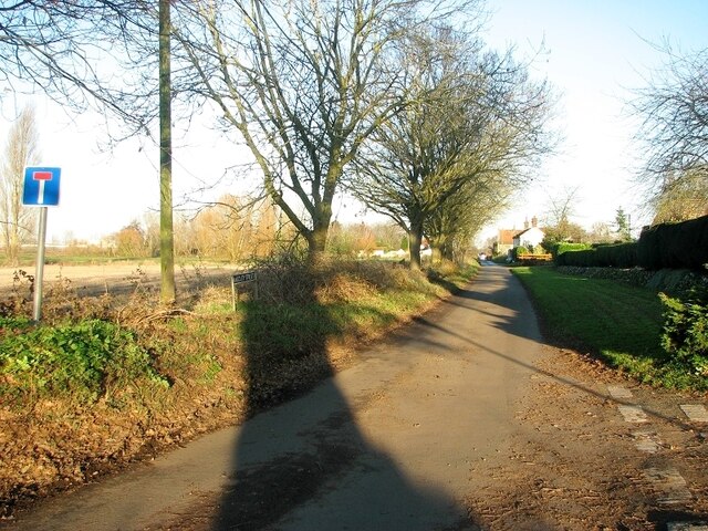
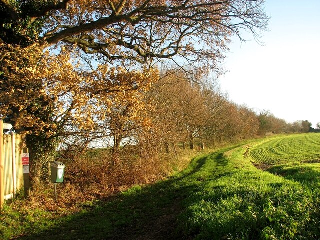
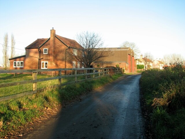
Ash Plantation, located in Norfolk, is a picturesque woodland area renowned for its dense growth of ash trees. Spanning over a vast expanse, this forested plantation is a haven for nature enthusiasts and offers a tranquil escape from the bustling city life.
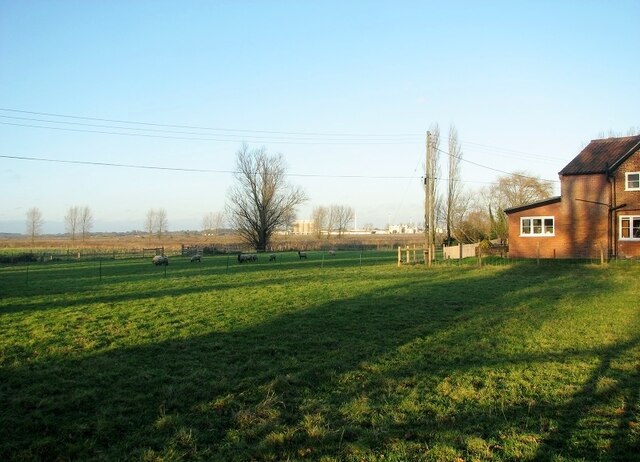
The plantation boasts a diverse ecosystem, with an abundant variety of flora and fauna. The towering ash trees dominate the landscape, their slender trunks reaching towards the sky, creating a majestic canopy that provides shade on sunny days. The plantation is also home to an array of other tree species, including oak, birch, and beech, enhancing the natural beauty of the area.
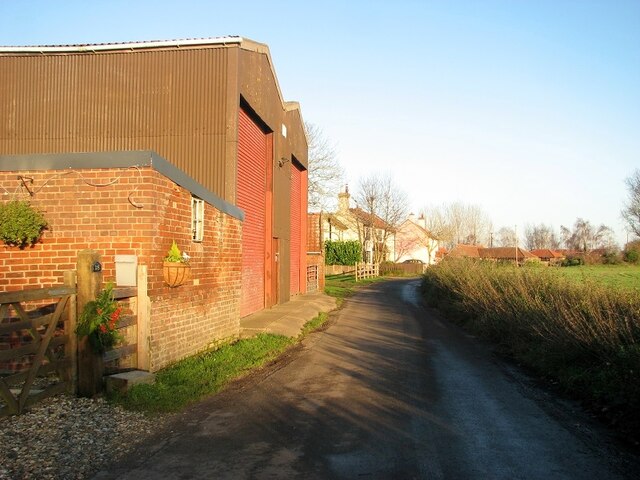
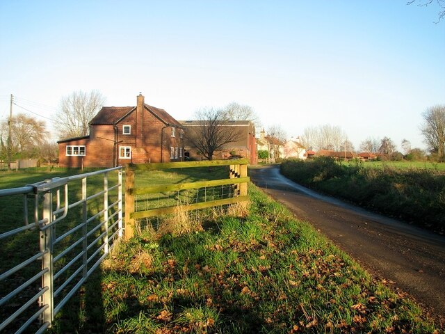
Visitors to Ash Plantation can enjoy a network of well-maintained walking trails that meander through the forest. These trails offer a chance to explore the plantation's hidden gems, from babbling brooks to enchanting clearings. The plantation is a haven for wildlife, with numerous bird species, such as woodpeckers and songbirds, filling the air with their melodious tunes. Keen-eyed visitors may also spot deer, rabbits, and squirrels darting among the trees, adding to the sense of serenity and natural harmony.
Ash Plantation is a popular destination for outdoor activities, attracting hikers, cyclists, and nature photographers. The plantation provides a peaceful retreat for those seeking solitude and a chance to reconnect with nature. Whether it is a leisurely stroll, an adventurous hike, or a quiet picnic, Ash Plantation offers something for everyone, making it a must-visit destination for nature lovers and those seeking respite from the urban chaos.
If you have any feedback on the listing, please let us know in the comments section below.
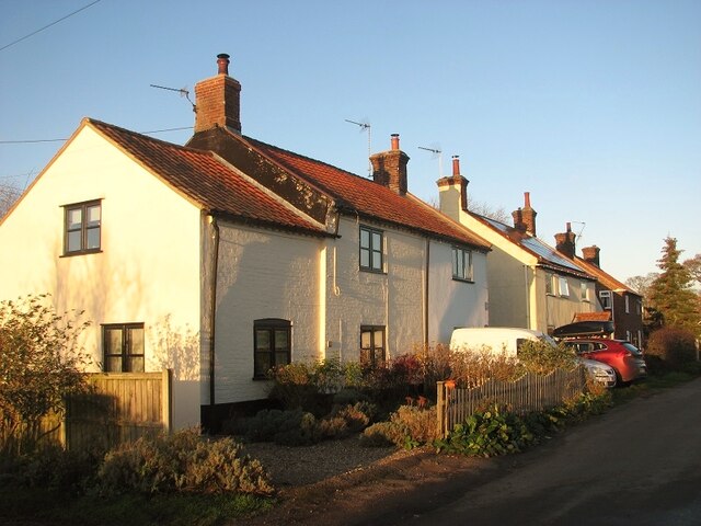
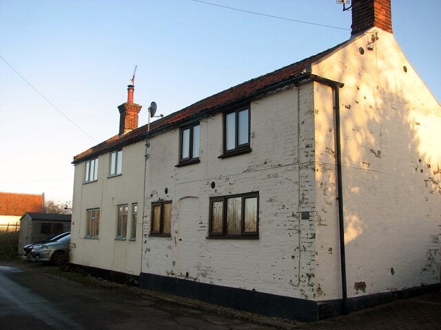
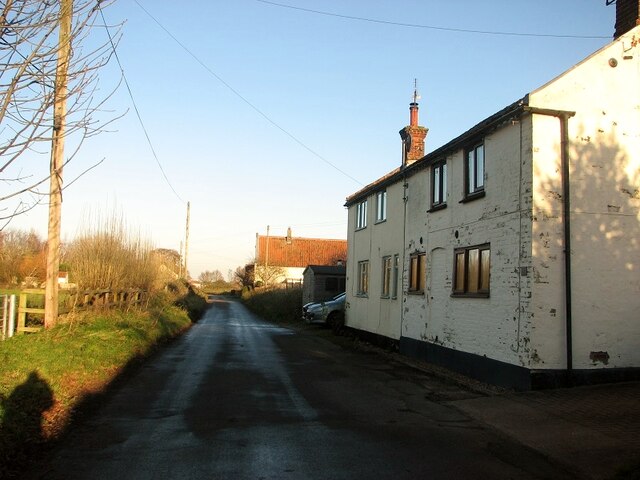
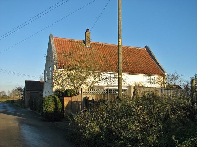
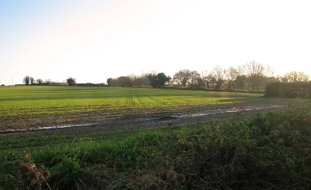
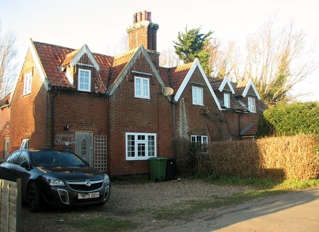
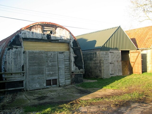
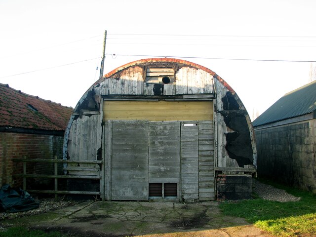
Ash Plantation Images
Images are sourced within 2km of 52.553723/1.489454 or Grid Reference TG3600. Thanks to Geograph Open Source API. All images are credited.

Ash Plantation is located at Grid Ref: TG3600 (Lat: 52.553723, Lng: 1.489454)
Administrative County: Norfolk
District: South Norfolk
Police Authority: Norfolk
What 3 Words
///proofread.wishing.umpires. Near Loddon, Norfolk
Nearby Locations
Related Wikis

Langley with Hardley
Langley with Hardley is a parish in the county of Norfolk, England, about a mile east of Loddon. It covers an area of 15.09 km2 (5.83 sq mi) and had a...

Poplar Farm Meadows, Langley
Poplar Farm Meadows, Langley is a 7.5-hectare (19-acre) biological Site of Special Scientific Interest east of Loddon in Norfolk. It is part of the Broadland...

Chedgrave
Chedgrave is a village and civil parish in English county of Norfolk. Chedgrave is separated from nearby Loddon by the River Chet. == History == Chedgrave...

Langley Hall
Langley Hall is a red-brick building in the Palladian style, formerly a country house but now a private school, located near Loddon, Norfolk, England....
Langley School, Loddon
Langley School is an HMC independent co educational day, weekly, flexi and full boarding school situated near the market town of Loddon in South Norfolk...
Norwich High School for Boys
Norwich High School for Boys was an independent school in Norwich, England. Founded in 1910, it became the Langley School shortly after World War II....

Hardley Flood
Hardley Flood is a 49.8-hectare (123-acre) biological Site of Special Scientific Interest near Loddon, between Norwich, Lowestoft and Great Yarmouth in...

Wherryman's Way
Wherryman's Way is a long-distance footpath in the English county of Norfolk. == Route == Wherryman's Way is 35 miles (56 km) long, running between Norwich...
Nearby Amenities
Located within 500m of 52.553723,1.489454Have you been to Ash Plantation?
Leave your review of Ash Plantation below (or comments, questions and feedback).