Whin Covert

Wood, Forest in Suffolk East Suffolk

England

Whin Covert

In Carlton Meres Holiday Park
In Carlton Meres Holiday Park Credit: Trevor Harris

Whin Covert is a picturesque woodland located in Suffolk, England. Situated in the heart of the county, this serene forest is known for its natural beauty and peaceful ambiance. With an area spanning across several hectares, Whin Covert offers a diverse range of flora and fauna, making it an ideal destination for nature enthusiasts and hikers alike.

The woodland is predominantly composed of deciduous trees such as oak, beech, and birch, which create a vibrant canopy during the spring and summer months. In addition to the towering trees, Whin Covert boasts an array of native wildflowers that bloom throughout the year, adding splashes of color to the forest floor.

As visitors explore the forest, they may encounter various wildlife species that call Whin Covert their home. Squirrels, rabbits, and a variety of bird species are commonly spotted, while lucky visitors might even catch a glimpse of a deer or fox.

Whin Covert is a popular destination for outdoor activities, providing numerous trails and pathways for walkers and cyclists to explore. The forest's well-maintained paths offer both leisurely strolls and more challenging routes for those seeking an adventure. Additionally, there are picnic areas and benches scattered throughout the woodland, providing opportunities for visitors to rest and enjoy the tranquil surroundings.

Overall, Whin Covert in Suffolk is a haven for nature lovers, offering a serene and picturesque escape from the hustle and bustle of everyday life. Whether it's a leisurely walk, a birdwatching expedition, or simply an opportunity to reconnect with nature, this woodland is a must-visit for anyone seeking a peaceful retreat in the heart of Suffolk.

If you have any feedback on the listing, please let us know in the comments section below.
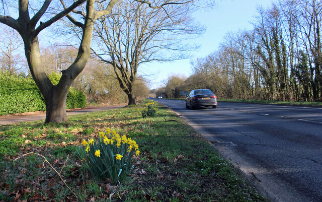
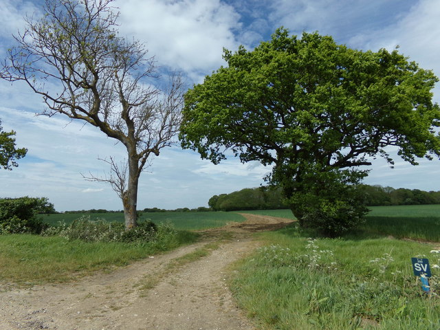
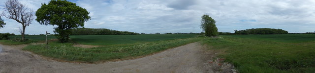
Whin Covert Images

Images are sourced within 2km of 52.248267/1.4653391 or Grid Reference TM3666. Thanks to Geograph Open Source API. All images are credited.

In Carlton Meres Holiday Park
Colourful Shed at Park Gate Farm A brightly painted but derelict looking shed by an electricity pole at the farm entrance.
Colourful Shed at Park Gate Farm
A brightly painted but derelict looking shed by an electricity pole at the farm entrance.
Daffodils by the A12 Making the place look cheerful.
Daffodils by the A12
Making the place look cheerful.
Trailer and Logpile The lane here is a casualty of realignment of the A12 round Saxmundham. Formerly a through road, it now stops just behind me.
Trailer and Logpile
The lane here is a casualty of realignment of the A12 round Saxmundham. Formerly a through road, it now stops just behind me.
Road to nowhere much Formerly a through road, the lane here no longer goes anywhere since the A12 was  built across its route.
Road to nowhere much
Formerly a through road, the lane here no longer goes anywhere since the A12 was built across its route.
Geograph East Anglian Backup Kindly donated by Peter Facey
Setup helped by David Pugh & Barry Hunter
Monitored by Adrian Cable
Geograph East Anglian Backup
Kindly donated by Peter Facey Setup helped by David Pugh & Barry Hunter Monitored by Adrian Cable
Main Road (A12) Looking south west near The Red House Farm.
Main Road (A12)
Looking south west near The Red House Farm.
Young crop field near Lodge Farm
Track (footpath) to Lodge Farm Off the A12.
Track (footpath) to Lodge Farm
Off the A12.
Newly Dug Ditch off Rendham Road <span class="nowrap"><a title="https://en.wikipedia.org/wiki/Sibton" rel="nofollow ugc noopener" href="https://en.wikipedia.org/wiki/Sibton">Link</a><img style="margin-left:2px;" alt="External link" title="External link - shift click to open in new window" src="https://s1.geograph.org.uk/img/external.png" width="10" height="10"/></span>
Newly Dug Ditch off Rendham Road
Culvert under Rendham Road <span class="nowrap"><a title="https://en.wikipedia.org/wiki/Sibton" rel="nofollow ugc noopener" href="https://en.wikipedia.org/wiki/Sibton">Link</a><img style="margin-left:2px;" alt="External link" title="External link - shift click to open in new window" src="https://s1.geograph.org.uk/img/external.png" width="10" height="10"/></span>
Culvert under Rendham Road
The entrance to Lodge Farm
Footpath to Rotten End Kelsale footpath No.11
Footpath to Rotten End
Kelsale footpath No.11
Panorama of Kelsale farmland <span class="nowrap"><a title="https://en.wikipedia.org/wiki/Kelsale" rel="nofollow ugc noopener" href="https://en.wikipedia.org/wiki/Kelsale">Link</a><img style="margin-left:2px;" alt="External link" title="External link - shift click to open in new window" src="https://s1.geograph.org.uk/img/external.png" width="10" height="10"/></span>
Panorama of Kelsale farmland
Corner Farm, Sibton Looking towards Coe Wood Cottages
Corner Farm, Sibton
Looking towards Coe Wood Cottages
Coe Wood Cottages, Sibton Roof trusses being lifted at Coe Wood Cottages
Coe Wood Cottages, Sibton
Roof trusses being lifted at Coe Wood Cottages
Show me another place!

Whin Covert is located at Grid Ref: TM3666 (Lat: 52.248267, Lng: 1.4653391)

Administrative County: Suffolk

District: East Suffolk

Police Authority: Suffolk

What 3 Words

///suspends.touches.appealing. Near Saxmundham, Suffolk

Nearby Locations

Whin Covert The Spring

Related Wikis

Peasenhall

Peasenhall is a village and civil parish in the East Suffolk district, in the English county of Suffolk. The population of the civil parish at the 2021...
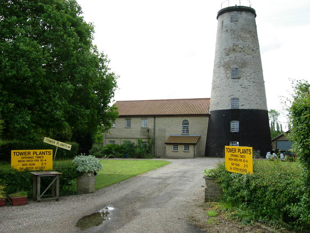
Skoulding's Mill

Skoulding's Mill is a Grade II listed tower mill at Kelsale, Suffolk, England which has been converted to residential accommodation. == History == Skoulding...

Kelsale

Kelsale is a village and former civil parish, now in the parish of Kelsale cum Carlton, in the East Suffolk district, in the county of Suffolk, England...

The Ancient House, Peasenhall

The Ancient House is a grade II* listed house in Peasenhall, Suffolk, England. The house is timber-framed and is not ancient, dating from the mid-sixteenth...

Have you been to Whin Covert?

Leave your review of Whin Covert below (or comments, questions and feedback).