Church Spinney

Wood, Forest in Suffolk East Suffolk

England

Church Spinney

Peasenhall
Peasenhall Credit: P Gaskell

Church Spinney is a beautiful woodland area located in Suffolk, England. It is situated near the village of Wood, just a short distance from the town of Sudbury. Covering an approximate area of 10 acres, Church Spinney is a haven for nature lovers and those seeking a peaceful retreat.

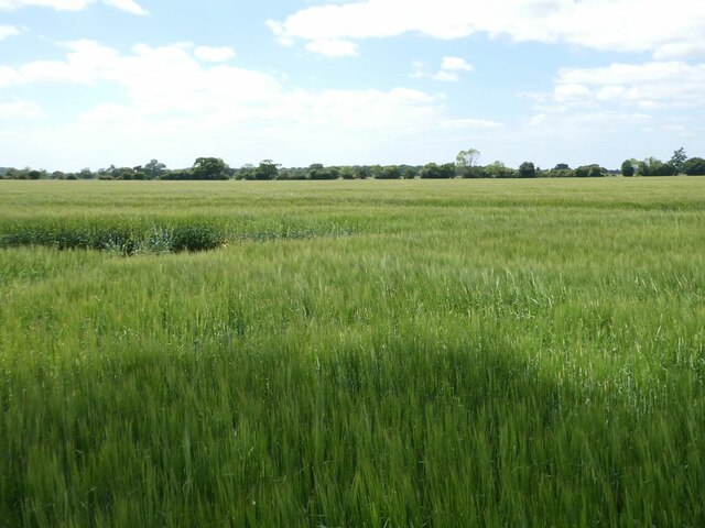
The woodland is predominantly made up of deciduous trees, including oak, beech, and ash, which create a dense and lush canopy overhead. Walking through the Spinney, visitors will find themselves surrounded by a variety of flora and fauna, including wildflowers, ferns, and mosses. The forest floor is also home to a wide range of wildlife, such as squirrels, deer, and a plethora of bird species.

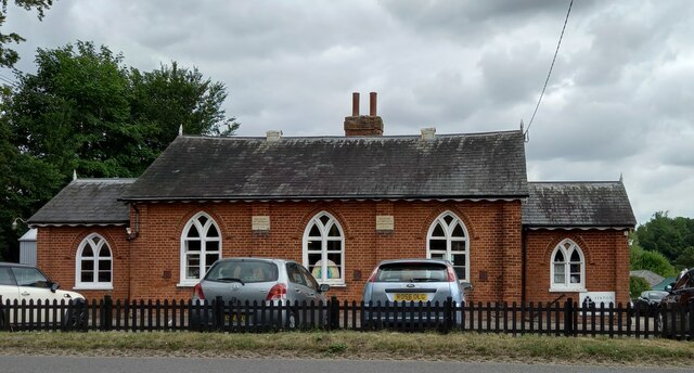
At the heart of Church Spinney lies St. Mary's Church, an ancient place of worship that dates back to the 12th century. The church's historical significance adds to the charm and tranquility of the woodland, making it a popular spot for locals and tourists alike.

The Spinney offers several walking trails, allowing visitors to explore its natural beauty at their own pace. These paths wind through the trees, providing picturesque views and opportunities for birdwatching. The peaceful atmosphere and the sound of birdsong make it an ideal location for relaxation and mindfulness.

Church Spinney, Suffolk, is not only a place of natural beauty but also a testament to the historical and cultural heritage of the area. Its combination of woodland, wildlife, and an ancient church makes it a must-visit destination for anyone seeking a peaceful and enriching experience in the Suffolk countryside.

If you have any feedback on the listing, please let us know in the comments section below.

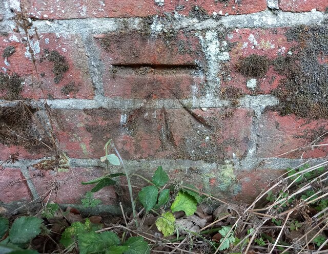
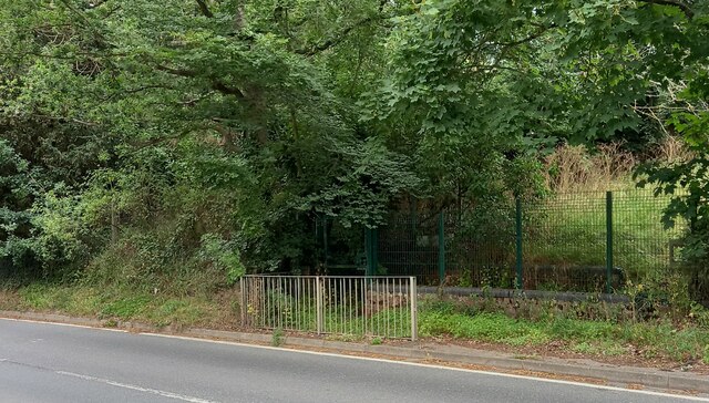
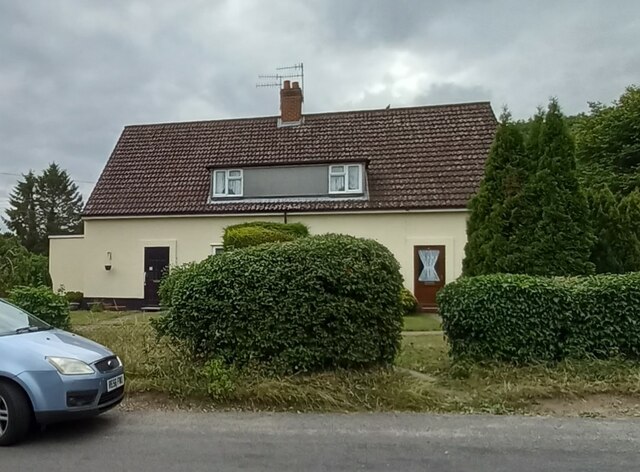
Church Spinney Images

Images are sourced within 2km of 52.274609/1.4672634 or Grid Reference TM3669. Thanks to Geograph Open Source API. All images are credited.

Peasenhall
Peasenhall
Field of barley near Wolseyhouse Farm
Concrete farm road at Wolseyhouse Farm
Pond at Hog Hill Holiday Cottages
Wolsey Cottages Row of three farm cottages.
Wolsey Cottages
Row of three farm cottages.
Wildflower meadow at Hog Hill House
Peasenhall bridge over River Yox According to the OS benchmark database there is a benchmark cut into the eastern parapet and over the centre of the stream. Nothing was found; the bridge is a relatively new build and the mark may have been destroyed.
Peasenhall bridge over River Yox
According to the OS benchmark database there is a benchmark cut into the eastern parapet and over the centre of the stream. Nothing was found; the bridge is a relatively new build and the mark may have been destroyed.
Sibton Nursery School According to the OS benchmark database there is a benchmark cut into the east facing wall of the school. There was lots of children activity at the school and therefore I didn't make a search. It is unknown if the mark survives.
Sibton Nursery School
According to the OS benchmark database there is a benchmark cut into the east facing wall of the school. There was lots of children activity at the school and therefore I didn't make a search. It is unknown if the mark survives.
Peasenhall, Pine View According to the OS benchmark database the rendered cottage painted white has a benchmark cut into the front of the property. The render has hidden any cutmark on the building.
Peasenhall, Pine View
According to the OS benchmark database the rendered cottage painted white has a benchmark cut into the front of the property. The render has hidden any cutmark on the building.
Peasenhall, St Michael's church The benchmark is cut into a buttress on the north-east face of the church.
Peasenhall, St Michael's church
The benchmark is cut into a buttress on the north-east face of the church.
Peasenhall, St Michael's church There is a benchmark cut into a buttress on the north-east face of the church.
Peasenhall, St Michael's church
There is a benchmark cut into a buttress on the north-east face of the church.
Peasenhall, old entrance to school The benchmark is cut into the brick wall on the right of the old school entrance. A safer entrance has been created to the left.
Peasenhall, old entrance to school
The benchmark is cut into the brick wall on the right of the old school entrance. A safer entrance has been created to the left.
Peasenhall, old school entrance There is a benchmark cut into the brick wall on the right of the old school entrance. A safer entrance has been created to the left.
Peasenhall, old school entrance
There is a benchmark cut into the brick wall on the right of the old school entrance. A safer entrance has been created to the left.
Peasenhall, 11 Oak View The benchmark is cut into the north-east face of the house.
Peasenhall, 11 Oak View
The benchmark is cut into the north-east face of the house.
Peasenhall, 11 Oak View There is a benchmark cut into the north-east face of the house.
Peasenhall, 11 Oak View
There is a benchmark cut into the north-east face of the house.
Peasenhall, electricity sub station The rivet benchmark is cut into the low roadside wall at the left of the entrance to the sub station.
Peasenhall, electricity sub station
The rivet benchmark is cut into the low roadside wall at the left of the entrance to the sub station.
Peasenhall, electricity sub station There is a rivet benchmark cut into the low roadside wall to the left of the entrance to the sub station.
Peasenhall, electricity sub station
There is a rivet benchmark cut into the low roadside wall to the left of the entrance to the sub station.
Serpentine wall at Abbotts Lodge Seen from the road the crinkle-crankle wall is very evident behind the foliage. Although the house is grade II listed, the wall is not.
Serpentine wall at Abbotts Lodge
Seen from the road the crinkle-crankle wall is very evident behind the foliage. Although the house is grade II listed, the wall is not.
Show me another place!

Church Spinney is located at Grid Ref: TM3669 (Lat: 52.274609, Lng: 1.4672634)

Administrative County: Suffolk

District: East Suffolk

Police Authority: Suffolk

What 3 Words

///lightens.prompts.reshaping. Near Cookley, Suffolk

Related Wikis

Sibton Abbey

Sibton Abbey, an early Cistercian abbey located near Yoxford, Suffolk, was founded about 1150 by William de Chesney, High Sheriff of Norfolk and Suffolk...
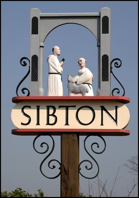
Sibton

Sibton is a village and civil parish on the A1120 road, in the East Suffolk district, in the English county of Suffolk. It is near the towns of Saxmundham...

Wilderness Reserve

Wilderness Reserve is a private estate of 8,000 acres (3,200 ha) in Suffolk's Yox Valley assembled by Jon Hunt since 1995 incorporating estates of Sibton...

Sibton Park

Sibton Park is a Grade II* listed country house in Sibton, Suffolk, England. It was built in 1827 by Decimus Burton and is now part of the 5,000 acre Wilderness...

The Ancient House, Peasenhall

The Ancient House is a grade II* listed house in Peasenhall, Suffolk, England. The house is timber-framed and is not ancient, dating from the mid-sixteenth...

Peasenhall

Peasenhall is a village and civil parish in the East Suffolk district, in the English county of Suffolk. The population of the civil parish at the 2021...

Cockfield Hall

Cockfield Hall in Yoxford in Suffolk, England is a Grade I listed private house standing in 76 acres (31 ha) of historic parkland, partly dating from the...

Yoxford

Yoxford is a village in East Suffolk, England, close to the Heritage Coast, Minsmere Reserve (RSPB), Aldeburgh and Southwold. It is known for its antique...

Nearby Amenities

Located within 500m of 52.274609,1.4672634
Sibton
Place: hamlet
Wikidata: Q5243888
Wikipedia: en:Sibton
Lat/Long: 52.2724738/1.4693972
Bus Stop
St Peter's Church
Bus: yes
Naptan AtcoCode: 390060018
Naptan Bearing: W
Naptan BusStopType: CUS
Naptan CommonName: St Peter's Church
Naptan Indicator: adj
Naptan Landmark: St Peter's Church
Naptan NaptanCode: sufgmjat
Naptan Street: Yoxford Road
Naptan Verified: no
Public Transport: platform
Source: naptan_import
Lat/Long: 52.2731219/1.467919
Bus Stop
St Peter's Church
Bus: yes
Naptan AtcoCode: 390060019
Naptan Bearing: E
Naptan BusStopType: CUS
Naptan CommonName: St Peter's Church
Naptan Indicator: opp
Naptan Landmark: St Peter's Church
Naptan NaptanCode: sufgmjaw
Naptan Street: Yoxford Road
Naptan Verified: no
Public Transport: platform
Source: naptan_import
Lat/Long: 52.2731565/1.4679657
Animal Boarding
Dawn's Boarding Cattery
Lat/Long: 52.2734515/1.4714537
Agrihort
Shop: agrarian
Lat/Long: 52.2709995/1.4661564
Post Box
Collection Times: Mo-Sa 10:00
Post Box Type: lamp
Ref: IP17 4630
Royal Cypher: EIIR
Royal Cypher Wikidata: Q33102113
Lat/Long: 52.2730403/1.4677048
Power: pole
Lat/Long: 52.2738748/1.4743703
Colour: yellow
Material: concrete
Power: pole
Lat/Long: 52.2737555/1.4737288
Colour: yellow
Material: concrete
Power: pole
Lat/Long: 52.2736571/1.4730911
Colour: yellow
Material: concrete
Power: pole
Lat/Long: 52.2736073/1.4724117
Inscription: yellow
Marker: post
Utility: gas
Lat/Long: 52.2738104/1.4740394
The data included in this document is from www.openstreetmap.org. The data is made available under ODbL.

Have you been to Church Spinney?

Leave your review of Church Spinney below (or comments, questions and feedback).