Daniels Wood
Wood, Forest in Suffolk East Suffolk
England
Daniels Wood
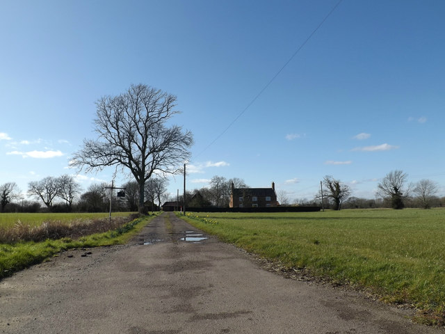
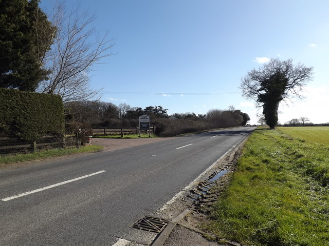
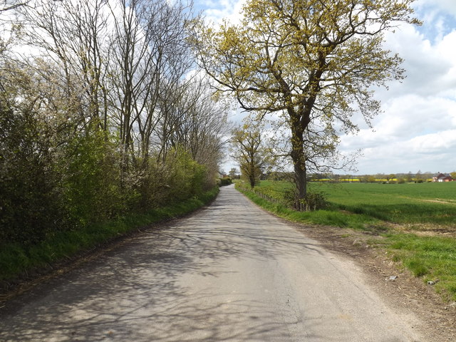
Daniels Wood is a picturesque woodland area located in Suffolk, England. Covering a vast expanse of land, this forest offers a haven of natural beauty and tranquility for visitors to enjoy. The wood is named after the nearby village of Daniel's Water, which is believed to have been established in the early 12th century.
The wood is characterized by its dense canopy of trees, predominantly consisting of native species such as oak, beech, and birch. These towering trees provide shade and shelter for a rich variety of wildlife, including numerous bird species, small mammals, and insects. Nature enthusiasts will be delighted by the opportunity to spot rare and elusive creatures such as the red squirrel or the elusive nightjar.
Walking trails meander through the wood, offering visitors the chance to explore its many wonders at their own pace. Along these paths, one can discover babbling brooks, enchanting clearings, and hidden glades. The forest floor is carpeted with a vibrant array of wildflowers, creating a stunning display of colors during the spring and summer months.
Daniels Wood is not only a haven for nature lovers but also a site of historical significance. The area is known to have been inhabited since ancient times, with archaeological evidence suggesting human activity dating back to the Neolithic period. This adds an extra layer of intrigue for those interested in the region's rich cultural heritage.
Overall, Daniels Wood is a true gem in Suffolk, offering a peaceful retreat from the hustle and bustle of everyday life. Whether you're a nature enthusiast, history buff, or simply seeking solace in the great outdoors, this woodland paradise is sure to captivate and inspire.
If you have any feedback on the listing, please let us know in the comments section below.
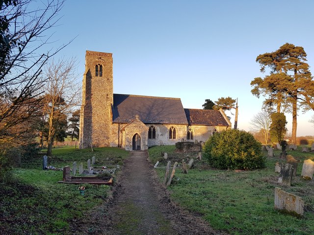
Daniels Wood Images
Images are sourced within 2km of 52.413255/1.4780355 or Grid Reference TM3685. Thanks to Geograph Open Source API. All images are credited.


Daniels Wood is located at Grid Ref: TM3685 (Lat: 52.413255, Lng: 1.4780355)
Administrative County: Suffolk
District: East Suffolk
Police Authority: Suffolk
What 3 Words
///contrived.below.hulk. Near Bungay, Suffolk
Nearby Locations
Related Wikis

The Saints, Suffolk
The Saints are a group of villages in the north of the English county of Suffolk, between the rivers Blyth and Waveney near to the border with Norfolk...

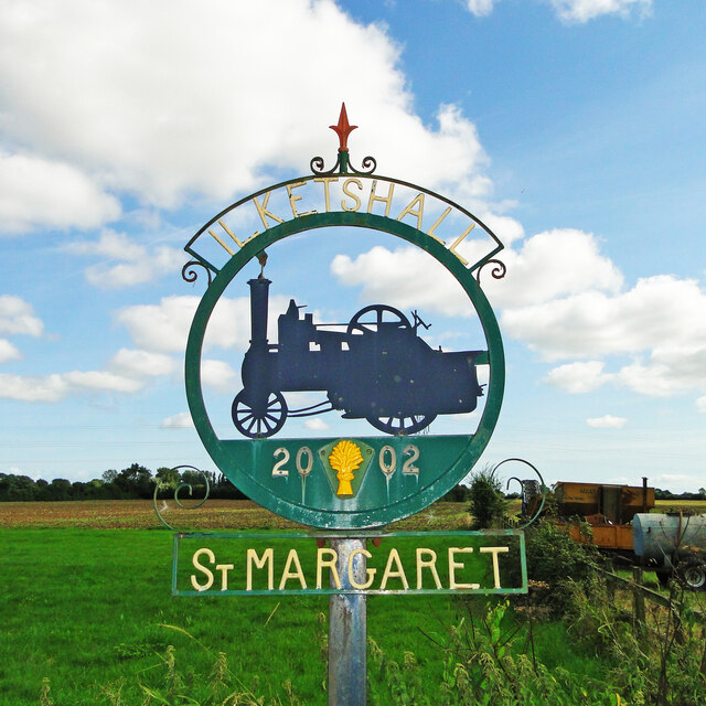
Ilketshall St Margaret
Ilketshall St Margaret is a village and civil parish in the north of the English county of Suffolk. It is 3 miles (4.8 km) south of the market town of...

Ilketshall St Lawrence
Ilketshall St Lawrence is a village and civil parish in the East Suffolk district of the English county of Suffolk. It is 3 miles (4.8 km) south-east of...
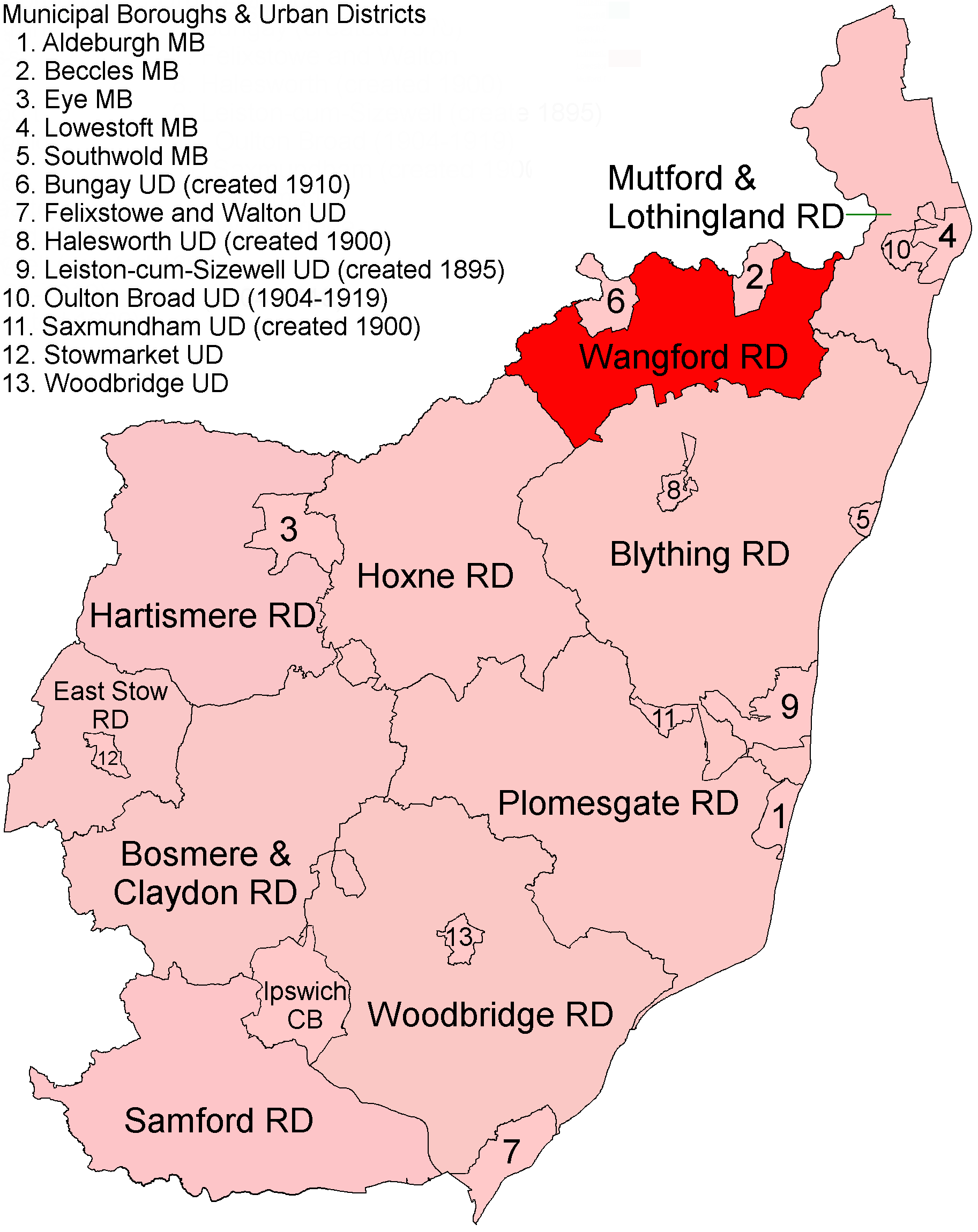
Wangford Rural District
Wangford Rural District was a rural district within the administrative county of East Suffolk between 1894 and 1934. It was created out of the earlier...

Wainford Rural District
Wainford Rural District was a rural district in East Suffolk, England, between 1934 and 1974. It was created by a merger of the disbanded Wangford Rural...

Waveney (UK Parliament constituency)
Waveney is a constituency represented in the House of Commons of the UK Parliament since 2010 by Peter Aldous, a Conservative. It returns one Member of...

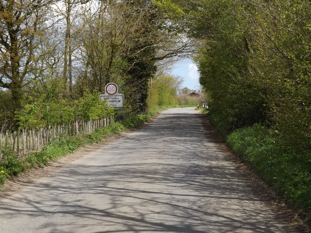
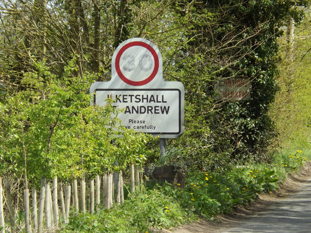
Ilketshall St Andrew
Ilketshall St Andrew is a village and civil parish in the north of the English county of Suffolk. It is 3 miles (4.8 km) south-east of Bungay and the same...
Wangford Hundred
Wangford was a hundred of Suffolk, England, consisting of 34,679 acres (140.34 km2).Wangford Hundred was an area of around twelve miles (19 km) from west...
Nearby Amenities
Located within 500m of 52.413255,1.4780355Have you been to Daniels Wood?
Leave your review of Daniels Wood below (or comments, questions and feedback).