Brickkiln Plantation
Wood, Forest in Norfolk South Norfolk
England
Brickkiln Plantation

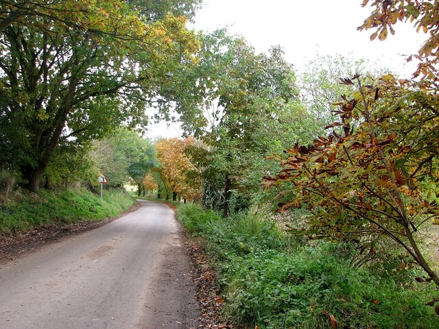
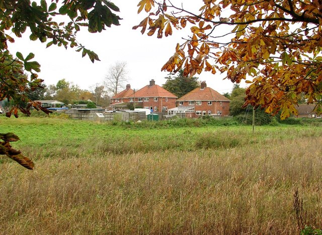
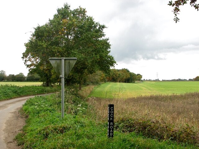
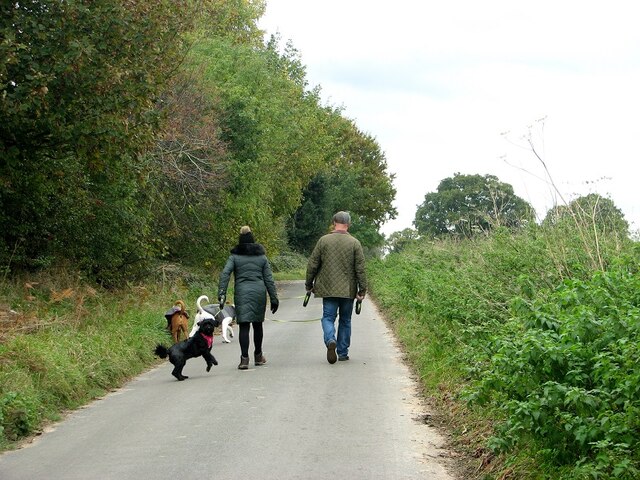
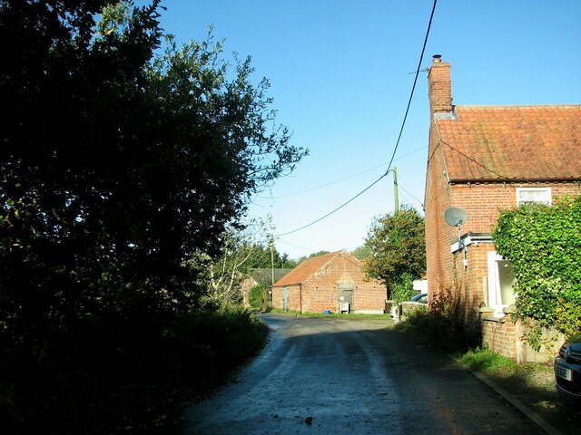
Brickkiln Plantation, located in Norfolk, England, is a picturesque woodland area known for its natural beauty and rich history. Covering an expansive area, the plantation is home to a diverse range of flora and fauna, making it a popular destination for nature enthusiasts and wildlife lovers.
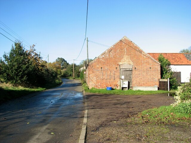
The plantation gets its name from the brick kilns that were once used to produce bricks in the area. These kilns, dating back centuries, serve as a reminder of the plantation's industrial past. Today, the kilns are in a state of ruin, but they add a touch of unique charm to the landscape.
The woodland itself is a delightful mix of ancient oak and beech trees, providing a haven for numerous bird species and woodland animals. The forest floor is adorned with a carpet of wildflowers, adding vibrant colors to the scenery during the spring and summer months.
Visitors to Brickkiln Plantation can enjoy a variety of activities, from peaceful walks along the well-marked trails to birdwatching and photography. The plantation also offers picnic areas and benches, allowing visitors to relax and soak in the tranquil atmosphere.
In addition to its natural beauty, Brickkiln Plantation holds historical significance. The site was once part of a larger estate, and remnants of the original manor house and gardens can still be seen. Archaeological finds dating back to the Roman period have also been discovered in the vicinity, adding another layer of intrigue to the area's past.
Overall, Brickkiln Plantation is a hidden gem in Norfolk, offering a mix of natural wonders and historical remnants that are sure to captivate visitors of all ages.
If you have any feedback on the listing, please let us know in the comments section below.
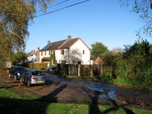
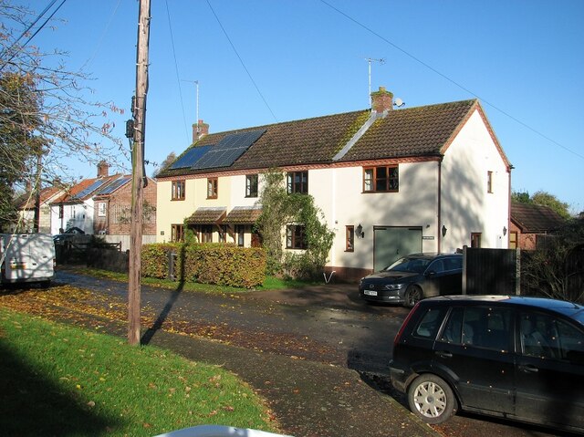
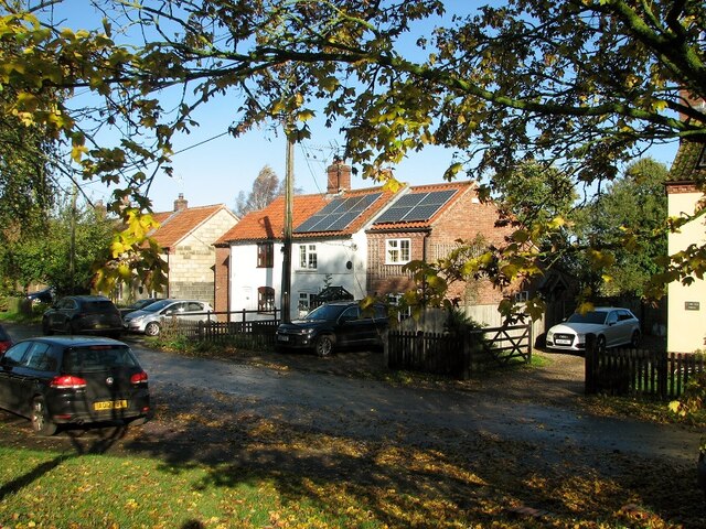
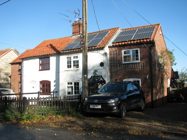
Brickkiln Plantation Images
Images are sourced within 2km of 52.550374/1.4816483 or Grid Reference TG3600. Thanks to Geograph Open Source API. All images are credited.


Brickkiln Plantation is located at Grid Ref: TG3600 (Lat: 52.550374, Lng: 1.4816483)
Administrative County: Norfolk
District: South Norfolk
Police Authority: Norfolk
What 3 Words
///freshen.laminated.cowering. Near Loddon, Norfolk
Nearby Locations
Related Wikis

Langley Hall
Langley Hall is a red-brick building in the Palladian style, formerly a country house but now a private school, located near Loddon, Norfolk, England....

Langley School, Loddon
Langley School is an HMC independent co educational day, weekly, flexi and full boarding school situated near the market town of Loddon in South Norfolk...

Chedgrave
Chedgrave is a village and civil parish in English county of Norfolk. Chedgrave is separated from nearby Loddon by the River Chet. == History == Chedgrave...
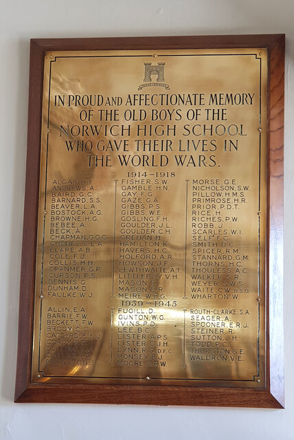
Norwich High School for Boys
Norwich High School for Boys was an independent school in Norwich, England. Founded in 1910, it became the Langley School shortly after World War II....
Langley with Hardley
Langley with Hardley is a parish in the county of Norfolk, England, about a mile east of Loddon. It covers an area of 15.09 km2 (5.83 sq mi) and had a...

A146 road
The A146 is an A road that connects Norwich in Norfolk and Lowestoft in Suffolk, two of East Anglia's largest population centres. It is around 27 miles...
Old Town Hall, Loddon
The Old Town Hall is a former events venue in Bridge Street, Loddon, Norfolk, England. The structure, which is currently occupied for commercial use, is...

Poplar Farm Meadows, Langley
Poplar Farm Meadows, Langley is a 7.5-hectare (19-acre) biological Site of Special Scientific Interest east of Loddon in Norfolk. It is part of the Broadland...
Nearby Amenities
Located within 500m of 52.550374,1.4816483Have you been to Brickkiln Plantation?
Leave your review of Brickkiln Plantation below (or comments, questions and feedback).