Butcher's Hole

Wood, Forest in Suffolk East Suffolk

England

Butcher's Hole

House, Botany Farm
House, Botany Farm Credit: JThomas

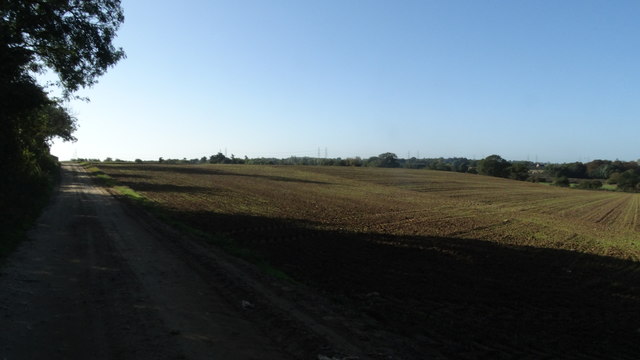
Butcher's Hole is a picturesque woodland located in Suffolk, England. Situated in the heart of the county, this forested area is known for its tranquility and natural beauty. Covering an expanse of approximately 50 acres, Butcher's Hole is popular among nature enthusiasts, hikers, and photographers.

The woodland is characterized by a diverse range of trees, including oak, beech, and birch. The forest floor is carpeted with a variety of wildflowers and ferns, creating a vibrant and enchanting atmosphere. The dense foliage provides a haven for many species of birds, making it a great spot for birdwatching.

As visitors explore the winding paths and trails within Butcher's Hole, they may stumble upon a small stream that meanders through the woodland. This babbling brook adds to the charm of the area and attracts a host of wildlife, including elusive otters and water voles.

Butcher's Hole also holds historical significance. It is believed to have been named after a local butcher who used the area as a hunting ground in the past. The forest has remained relatively untouched over the years, preserving its natural beauty and allowing visitors to experience a truly authentic woodland environment.

With its serene ambiance and diverse flora and fauna, Butcher's Hole offers a peaceful retreat from the hustle and bustle of city life. Whether it's a leisurely stroll, a picnic amidst nature, or simply enjoying the sounds of chirping birds, this woodland is a haven for those seeking solace in the great outdoors.

If you have any feedback on the listing, please let us know in the comments section below.

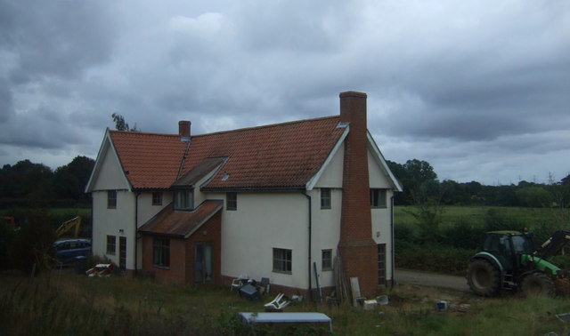
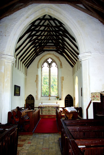
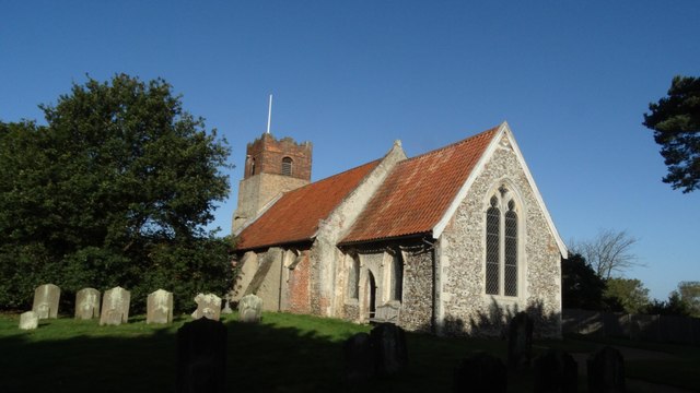
Butcher's Hole Images

Images are sourced within 2km of 52.195203/1.4572839 or Grid Reference TM3660. Thanks to Geograph Open Source API. All images are credited.

House, Botany Farm
House, Botany Farm
St Mary's Church The west tower is of brick with the lower stages faced in stone.  The huge buttresses (obscuring a small Norman window) were added in the 18th century to counter the outward lean of the south wall due to subsidence on the hilltop site, the dramatic effect of which can be seen inside the church.
St Mary's Church
The west tower is of brick with the lower stages faced in stone. The huge buttresses (obscuring a small Norman window) were added in the 18th century to counter the outward lean of the south wall due to subsidence on the hilltop site, the dramatic effect of which can be seen inside the church.
Fragment of a rood screen Two panels of tracery from the upper part of the medieval screen are displayed on the wall of St Mary's Church.
Fragment of a rood screen
Two panels of tracery from the upper part of the medieval screen are displayed on the wall of St Mary's Church.
Inside St Mary's Church Looking west down the nave, the tremendous outward lean of the south wall is obvious.  The central window is Norman and is matched by a similar one on the north side.  Between the windows huge external buttresses counteract the outward thrust of the walls.  The roof has a scissor truss construction and the Georgian box pews are richly varnished.
Inside St Mary's Church
Looking west down the nave, the tremendous outward lean of the south wall is obvious. The central window is Norman and is matched by a similar one on the north side. Between the windows huge external buttresses counteract the outward thrust of the walls. The roof has a scissor truss construction and the Georgian box pews are richly varnished.
Chancel of St Mary's Church Pevsner, visiting in 1961, commented that this end of the church "seems all renewed".  The roof trusses echo those of the nave on a smaller scale.  The altar is flanked by Victorian decalogue boards.
Chancel of St Mary's Church
Pevsner, visiting in 1961, commented that this end of the church "seems all renewed". The roof trusses echo those of the nave on a smaller scale. The altar is flanked by Victorian decalogue boards.
Flush Bracket OSBM G1530 Stratford St Andrew Long Row Flush Bracket OSBM G1530 Stratford St Andrew Long Row, NW face.
Flush Bracket OSBM G1530 Stratford St Andrew Long Row
Flush Bracket OSBM G1530 Stratford St Andrew Long Row, NW face.
Houses on the A12, Stratford St Andrew
Parkgate Farm from the A12
Mill Lane at the A12 end
Field by Mill Lane
Field by Mill Lane
Late afternoon clouds from Mill Lane
St Mary's church noticeboard, Farnham
View across fields from St Mary's churchyard, Farnham Looking towards the River Alde
View across fields from St Mary's churchyard, Farnham
Looking towards the River Alde
St Mary's churchyard looking south
Farnham, Suffolk, St Mary's Church
Farmland by The Belt, Farnham, Suffolk
1GL Bolt Farnham St Marys Church 1GL Bolt Farnham St Marys Church NW angle of tower.
1GL Bolt Farnham St Marys Church
1GL Bolt Farnham St Marys Church NW angle of tower.
St Mary's church, Farnham, Suffolk
Show me another place!

Butcher's Hole is located at Grid Ref: TM3660 (Lat: 52.195203, Lng: 1.4572839)

Administrative County: Suffolk

District: East Suffolk

Police Authority: Suffolk

What 3 Words

///eruptions.intrigues.playfully. Near Saxmundham, Suffolk

Nearby Locations

Butcher's Hole Farnham

Related Wikis

Benhall Street

Benhall Street is a village in Suffolk, England.

Farnham, Suffolk

Farnham is a village and civil parish about 3 miles (4.8 km) south-west of Saxmundham in the English county of Suffolk on the A12 road. Farnham is located...

Stratford St Andrew

Stratford St Andrew is a small village and a civil parish just off the A12 road, in the East Suffolk district, in the English county of Suffolk. It lies...

Farnham Manor

Farnham Manor is a grade II listed house in Farnham, Suffolk, England. It is timber-framed and dates from at least 1602 based on a year marked on plasterwork...

Nearby Amenities

Located within 500m of 52.195203,1.4572839
Crossing
Lat/Long: 52.1913233/1.4574859
The data included in this document is from www.openstreetmap.org. The data is made available under ODbL.

Have you been to Butcher's Hole?

Leave your review of Butcher's Hole below (or comments, questions and feedback).