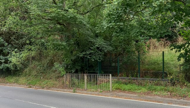
Valley Farm Spinney

Wood, Forest in Suffolk East Suffolk

England

Valley Farm Spinney

Peasenhall
Peasenhall Credit: P Gaskell

Valley Farm Spinney is a charming woodland area located in Suffolk, England. Nestled within the picturesque countryside, this serene spinney offers a tranquil escape for nature enthusiasts and those seeking solace amidst the beauty of the natural world.

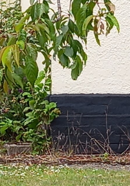
Covering an area of approximately 50 acres, Valley Farm Spinney is characterized by a diverse mix of trees, including oak, beech, and ash, which provide a dense canopy overhead. The woodland floor is adorned with a rich tapestry of wildflowers, creating a vibrant and enchanting atmosphere throughout the seasons.

As visitors venture deeper into the spinney, they may encounter a variety of wildlife, including deer, foxes, rabbits, and a myriad of bird species. The dense vegetation and peaceful surroundings make this woodland a haven for many creatures, offering a glimpse into the delicate balance of the ecosystem.

Valley Farm Spinney is not only a haven for wildlife but also a popular destination for outdoor enthusiasts. With a network of well-maintained trails, visitors can explore the spinney at their own pace, immersing themselves in the sights and sounds of nature. Whether it's a leisurely stroll, a family picnic, or a birdwatching expedition, there is something for everyone to enjoy in this idyllic woodland.

Maintained by the local community, Valley Farm Spinney is a testament to the importance of preserving natural habitats. Its accessibility, scenic beauty, and abundant wildlife make it a cherished destination for locals and tourists alike, offering a respite from the hustle and bustle of modern life.

If you have any feedback on the listing, please let us know in the comments section below.

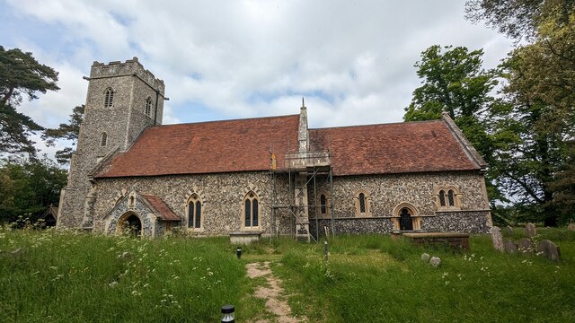
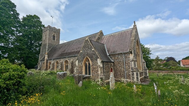
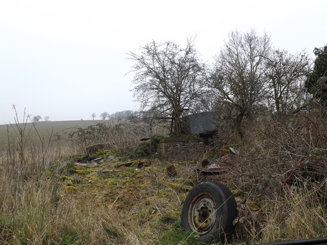
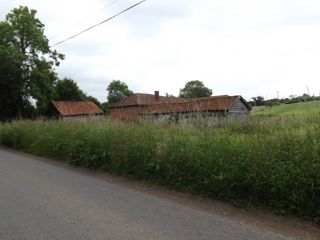
Valley Farm Spinney Images

Images are sourced within 2km of 52.276545/1.4494081 or Grid Reference TM3569. Thanks to Geograph Open Source API. All images are credited.

Peasenhall
Peasenhall
Peasenhall bridge over River Yox According to the OS benchmark database there is a benchmark cut into the eastern parapet and over the centre of the stream. Nothing was found; the bridge is a relatively new build and the mark may have been destroyed.
Peasenhall bridge over River Yox
According to the OS benchmark database there is a benchmark cut into the eastern parapet and over the centre of the stream. Nothing was found; the bridge is a relatively new build and the mark may have been destroyed.
Sibton Nursery School According to the OS benchmark database there is a benchmark cut into the east facing wall of the school. There was lots of children activity at the school and therefore I didn't make a search. It is unknown if the mark survives.
Sibton Nursery School
According to the OS benchmark database there is a benchmark cut into the east facing wall of the school. There was lots of children activity at the school and therefore I didn't make a search. It is unknown if the mark survives.
Peasenhall, Pine View According to the OS benchmark database the rendered cottage painted white has a benchmark cut into the front of the property. The render has hidden any cutmark on the building.
Peasenhall, Pine View
According to the OS benchmark database the rendered cottage painted white has a benchmark cut into the front of the property. The render has hidden any cutmark on the building.
Peasenhall, St Michael's church The benchmark is cut into a buttress on the north-east face of the church.
Peasenhall, St Michael's church
The benchmark is cut into a buttress on the north-east face of the church.
Peasenhall, St Michael's church There is a benchmark cut into a buttress on the north-east face of the church.
Peasenhall, St Michael's church
There is a benchmark cut into a buttress on the north-east face of the church.
Peasenhall, old entrance to school The benchmark is cut into the brick wall on the right of the old school entrance. A safer entrance has been created to the left.
Peasenhall, old entrance to school
The benchmark is cut into the brick wall on the right of the old school entrance. A safer entrance has been created to the left.
Peasenhall, old school entrance There is a benchmark cut into the brick wall on the right of the old school entrance. A safer entrance has been created to the left.
Peasenhall, old school entrance
There is a benchmark cut into the brick wall on the right of the old school entrance. A safer entrance has been created to the left.
Peasenhall, 11 Oak View The benchmark is cut into the north-east face of the house.
Peasenhall, 11 Oak View
The benchmark is cut into the north-east face of the house.
Peasenhall, 11 Oak View There is a benchmark cut into the north-east face of the house.
Peasenhall, 11 Oak View
There is a benchmark cut into the north-east face of the house.
Peasenhall, electricity sub station The rivet benchmark is cut into the low roadside wall at the left of the entrance to the sub station.
Peasenhall, electricity sub station
The rivet benchmark is cut into the low roadside wall at the left of the entrance to the sub station.
Peasenhall, electricity sub station There is a rivet benchmark cut into the low roadside wall to the left of the entrance to the sub station.
Peasenhall, electricity sub station
There is a rivet benchmark cut into the low roadside wall to the left of the entrance to the sub station.
Serpentine wall at Abbotts Lodge Seen from the road the crinkle-crankle wall is very evident behind the foliage. Although the house is grade II listed, the wall is not.
Serpentine wall at Abbotts Lodge
Seen from the road the crinkle-crankle wall is very evident behind the foliage. Although the house is grade II listed, the wall is not.
Church of St. Peter, Sibton <span class="nowrap"><a title="https://historicengland.org.uk/listing/the-list/list-entry/1283976?section=official-list-entry" rel="nofollow ugc noopener" href="https://historicengland.org.uk/listing/the-list/list-entry/1283976?section=official-list-entry">Link</a><img style="margin-left:2px;" alt="External link" title="External link - shift click to open in new window" src="https://s1.geograph.org.uk/img/external.png" width="10" height="10"/></span>
Church of St. Peter, Sibton
Church of St. Michael and All Angels, Peasenhall <span class="nowrap"><a title="https://historicengland.org.uk/listing/the-list/list-entry/1183300?section=official-list-entry" rel="nofollow ugc noopener" href="https://historicengland.org.uk/listing/the-list/list-entry/1183300?section=official-list-entry">Link</a><img style="margin-left:2px;" alt="External link" title="External link - shift click to open in new window" src="https://s1.geograph.org.uk/img/external.png" width="10" height="10"/></span>
Church of St. Michael and All Angels, Peasenhall
Borehole off Hubbard's Hill <span class="nowrap"><a title="https://en.wikipedia.org/wiki/Peasenhall" rel="nofollow ugc noopener" href="https://en.wikipedia.org/wiki/Peasenhall">Link</a><img style="margin-left:2px;" alt="External link" title="External link - shift click to open in new window" src="https://s1.geograph.org.uk/img/external.png" width="10" height="10"/></span>
Borehole off Hubbard's Hill
Borehole off Hubbard's Hill (Close up)
Borehole off Hubbard's Hill
(Close up)
North Grange Farm, Sibton Off the C209 Halesworth Road
North Grange Farm, Sibton
Off the C209 Halesworth Road
Show me another place!

Valley Farm Spinney is located at Grid Ref: TM3569 (Lat: 52.276545, Lng: 1.4494081)

Administrative County: Suffolk

District: East Suffolk

Police Authority: Suffolk

What 3 Words

///oils.tasty.enough. Near Cookley, Suffolk

Related Wikis

The Ancient House, Peasenhall

The Ancient House is a grade II* listed house in Peasenhall, Suffolk, England. The house is timber-framed and is not ancient, dating from the mid-sixteenth...

Peasenhall

Peasenhall is a village and civil parish in the East Suffolk district, in the English county of Suffolk. The population of the civil parish at the 2021...

Sibton Abbey

Sibton Abbey, an early Cistercian abbey located near Yoxford, Suffolk, was founded about 1150 by William de Chesney, High Sheriff of Norfolk and Suffolk...
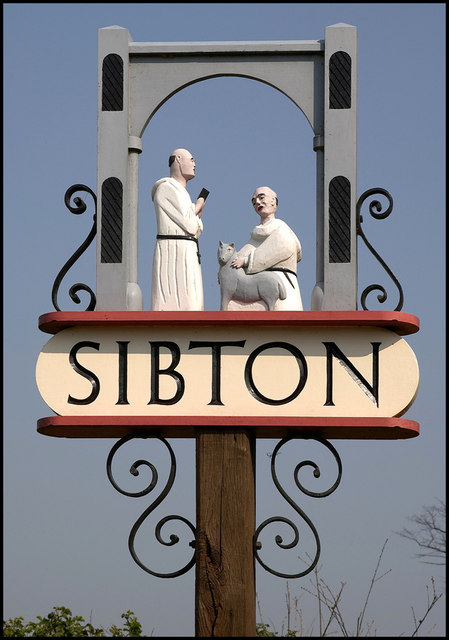
Sibton

Sibton is a village and civil parish on the A1120 road, in the East Suffolk district, in the English county of Suffolk. It is near the towns of Saxmundham...
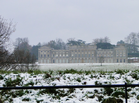
Sibton Park

Sibton Park is a Grade II* listed country house in Sibton, Suffolk, England. It was built in 1827 by Decimus Burton and is now part of the 5,000 acre Wilderness...

Wilderness Reserve

Wilderness Reserve is a private estate of 8,000 acres (3,200 ha) in Suffolk's Yox Valley assembled by Jon Hunt since 1995 incorporating estates of Sibton...

Heveningham

Heveningham is a village and civil parish in the East Suffolk district of Suffolk in eastern England. Located four miles south-west of Halesworth, in 2005...

Heveningham Hall

Heveningham Hall is a Grade I listed building in Heveningham, Suffolk. The first house on the site was built for the politician and regicide William Heveningham...

Nearby Amenities

Located within 500m of 52.276545,1.4494081
Pub
The Sibton White Horse
Wikidata: Q26657645
Lat/Long: 52.2793312/1.4550599
Power: pole
Lat/Long: 52.2758419/1.4496721
Power: pole
Lat/Long: 52.274543/1.4468854
Power: pole
Lat/Long: 52.2776275/1.4535427
Power: pole
Lat/Long: 52.2747341/1.4473092
Power: pole
Lat/Long: 52.2753241/1.4486423
Power: pole
Lat/Long: 52.274597/1.4475413
Power: pole
Lat/Long: 52.2756215/1.4499582
Power: pole
Lat/Long: 52.2769996/1.4521734
Power: pole
Lat/Long: 52.274561/1.4476203
Power: pole
Lat/Long: 52.2751361/1.4488866
Power: pole
Lat/Long: 52.2768106/1.4525067
Power: pole
Lat/Long: 52.2747719/1.4472261
Power: pole
Lat/Long: 52.2761439/1.4511471
Post Box
Collection Times: Mo-Fr 09:00; Sa 07:00
Post Box Type: lamp
Ref: IP17 4622D
Royal Cypher: EIIR
Royal Cypher Wikidata: Q33102113
Lat/Long: 52.2790059/1.4548597
The data included in this document is from www.openstreetmap.org. The data is made available under ODbL.

Have you been to Valley Farm Spinney?

Leave your review of Valley Farm Spinney below (or comments, questions and feedback).