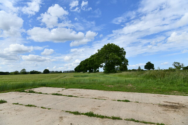
Brownslane Plantation
Wood, Forest in Norfolk Broadland
England
Brownslane Plantation
Brownslane Plantation is a sprawling estate situated in the picturesque Norfolk County of England. Located in the heart of the Norfolk Wood, the plantation is renowned for its lush forests and stunning natural beauty. Spanning an area of approximately 500 acres, the plantation is a haven for nature enthusiasts and offers a tranquil retreat away from the hustle and bustle of city life.
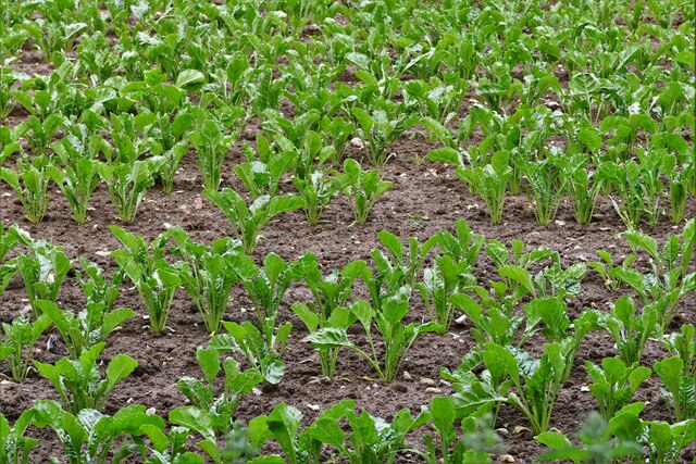
The Norfolk Wood, where Brownslane Plantation is nestled, is known for its diverse flora and fauna. The woodland is home to a variety of tree species, including oak, beech, and birch, creating a rich and vibrant landscape. The plantation is meticulously maintained, ensuring that the natural ecosystem remains intact and thriving.
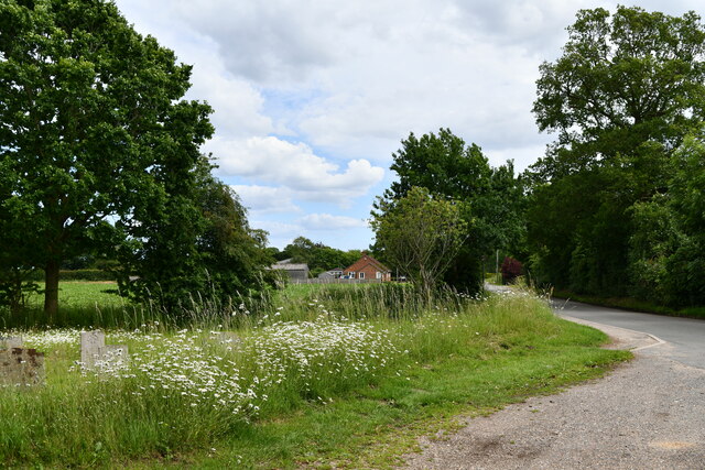
Visitors to Brownslane Plantation can explore the vast network of walking trails that wind through the forest, providing an opportunity to immerse themselves in the serene ambiance. The plantation also boasts several well-manicured gardens, offering a delightful mix of colorful flowers and aromatic herbs.
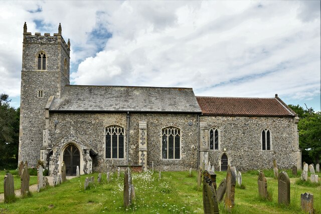
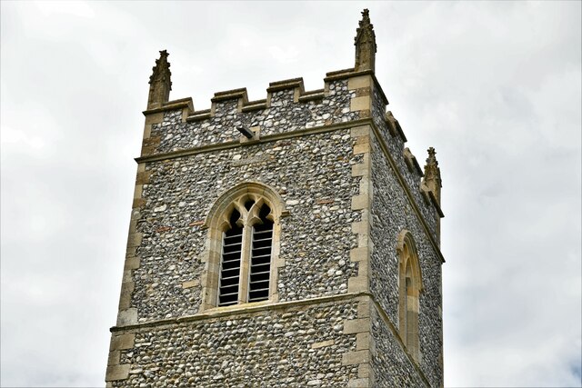
The estate features a charming manor house that reflects the traditional architectural style of the region. The house is surrounded by beautifully landscaped gardens, providing a tranquil setting for leisurely walks or picnics.
Brownslane Plantation is not only a natural paradise but also a hub for outdoor activities. The estate offers facilities for horseback riding, cycling, and bird watching, allowing visitors to engage with the environment and appreciate the abundant wildlife.
Overall, Brownslane Plantation is a hidden gem in Norfolk, offering a perfect blend of natural beauty, recreational opportunities, and a peaceful escape from the demands of everyday life.
If you have any feedback on the listing, please let us know in the comments section below.
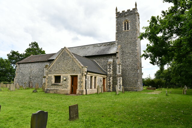
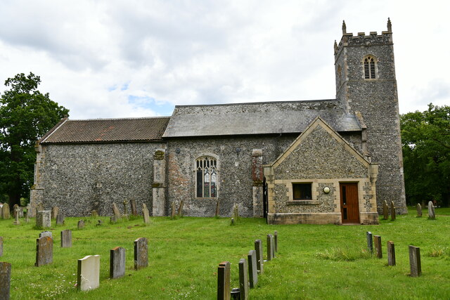
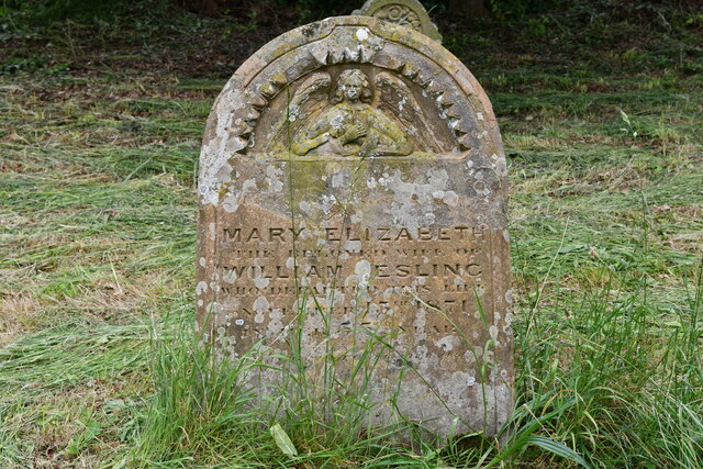
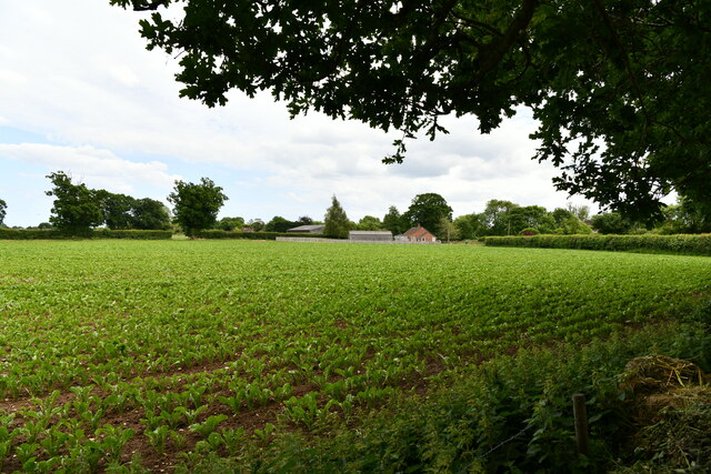
Brownslane Plantation Images
Images are sourced within 2km of 52.643576/1.4784219 or Grid Reference TG3510. Thanks to Geograph Open Source API. All images are credited.


Brownslane Plantation is located at Grid Ref: TG3510 (Lat: 52.643576, Lng: 1.4784219)
Administrative County: Norfolk
District: Broadland
Police Authority: Norfolk
What 3 Words
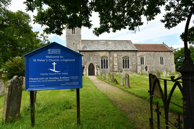
///looked.clef.caring. Near Lingwood, Norfolk
Nearby Locations
Related Wikis
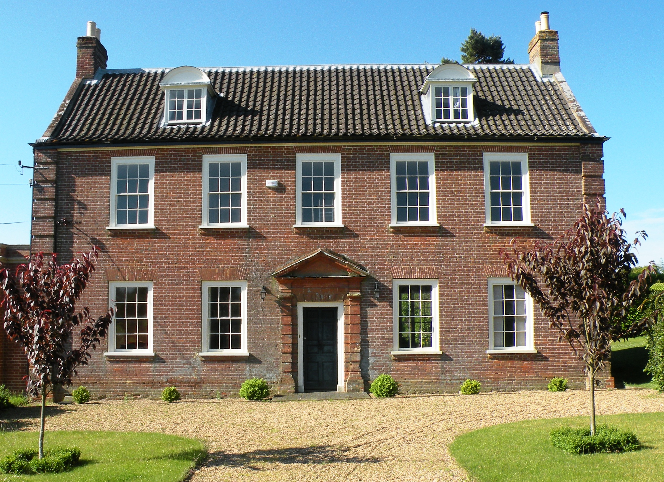
Hemblington Hall
Hemblington Hall is a large farmhouse in Norfolk county, England, built around 1700 with a Georgian facade. This grade II listed building was the home...
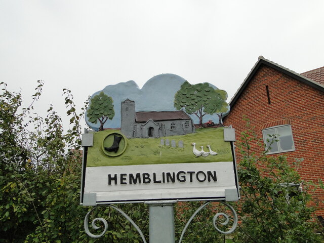
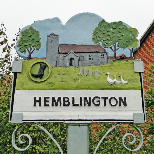
Hemblington
Hemblington is a civil parish in the English county of Norfolk, about 8 miles (13 km) east of Norwich. It covers an area of 3.03 km2 (1.17 sq mi) and had...

Norwich United F.C.
Norwich United Football Club is a football club based in Blofield, Norfolk, England. Affiliated to the Norfolk County FA, they play at Plantation Park...

South Walsham Fen
South Walsham Fen is a 1.4-hectare (3.5-acre) Local Nature Reserve west of South Walsham in Norfolk. It is owned and managed by Norfolk County Council...
Lingwood and Burlingham
Lingwood and Burlingham is a civil parish in the English county of Norfolk, comprising the large village of Lingwood together with the smaller villages...
Blofield
Blofield is a village and civil parish in the Broadland district of Norfolk, England. The parish includes Blofield and the hamlets of Blofield Heath and...

Lingwood railway station
Lingwood railway station is on the Wherry Lines in the east of England, serving the village of Lingwood, Norfolk. It is 7 miles 78 chains (12.8 km) down...

South Walsham
South Walsham is a village and civil parish in the English county of Norfolk. It covers an area of 11.43 km2 (4.41 sq mi) and had a population of 738 in...
Nearby Amenities
Located within 500m of 52.643576,1.4784219Have you been to Brownslane Plantation?
Leave your review of Brownslane Plantation below (or comments, questions and feedback).