Auchnacree

Settlement in Angus

Scotland

Auchnacree

Field of bales at Deuchar Harvested field with bales, viewed from the access road to Deuchar.
Field of bales at Deuchar Credit: Scott Cormie

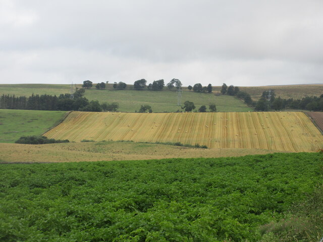
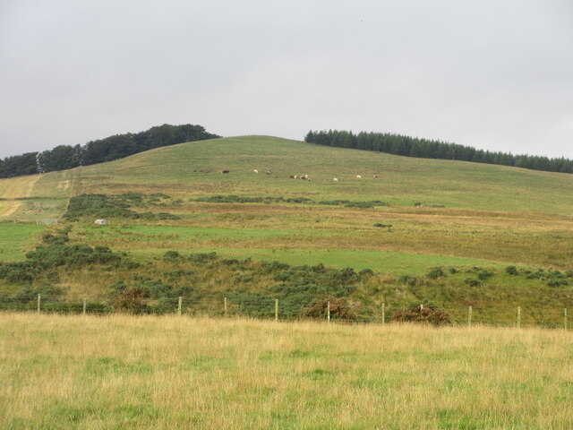
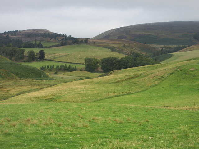
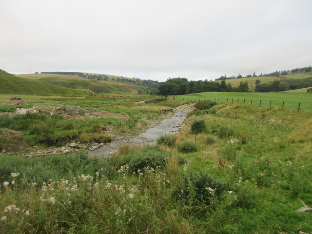
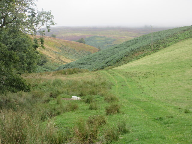
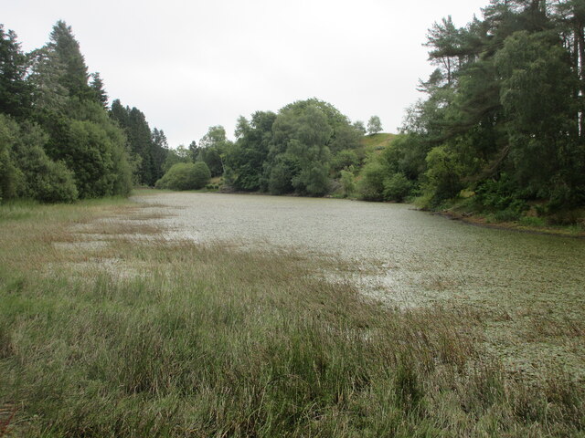
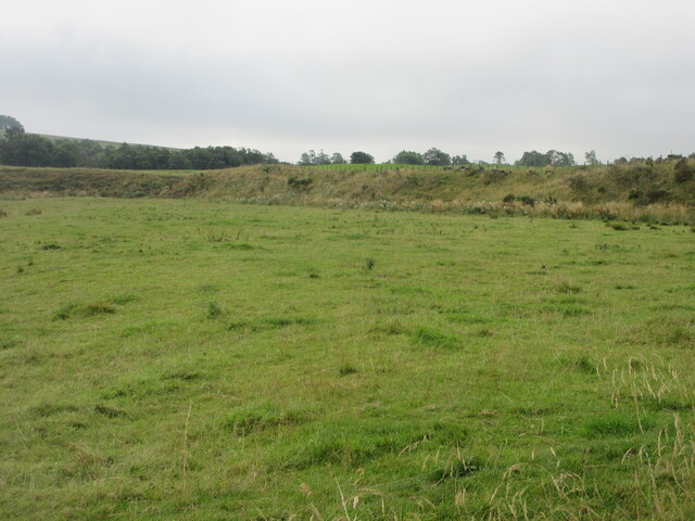
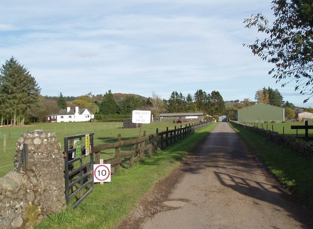
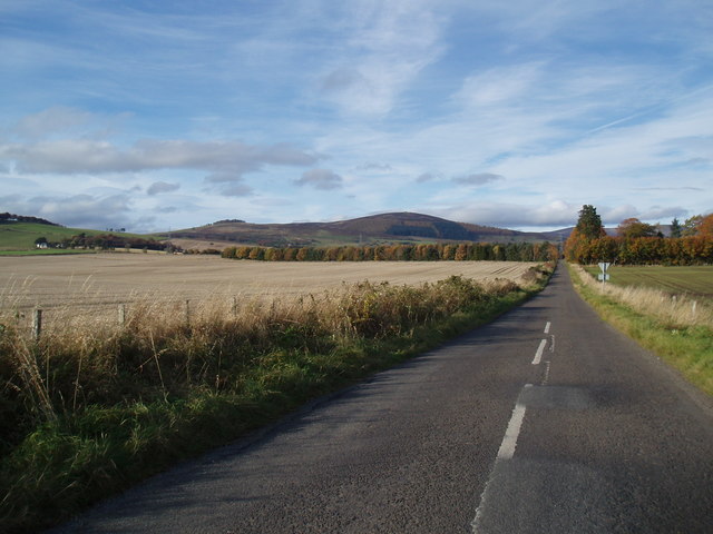
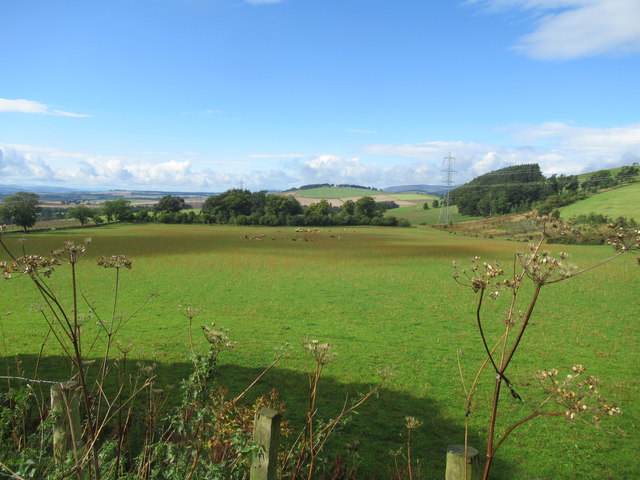
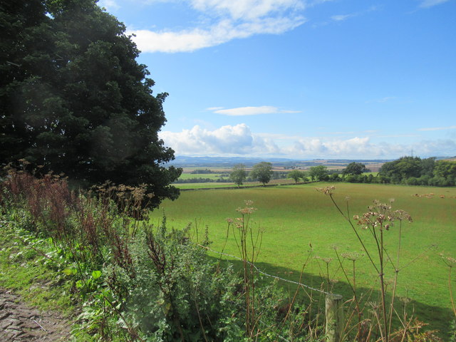
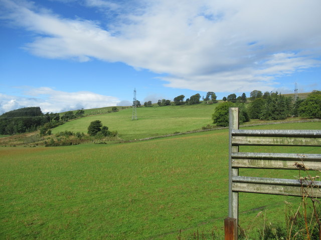
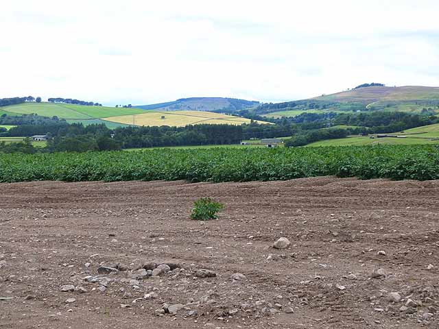
Auchnacree is a small village located in the county of Angus, in the eastern part of Scotland. Situated about 5 miles northeast of the town of Forfar, Auchnacree is nestled amidst the picturesque landscape of the Angus Glens. The village is surrounded by rolling hills, lush green fields, and meandering streams, making it an idyllic location for those seeking tranquility and natural beauty.

With a population of around 200 residents, Auchnacree is a close-knit community that prides itself on its strong sense of community spirit. The village is known for its friendly locals and welcoming atmosphere, making it an inviting place for visitors to explore and experience authentic Scottish hospitality.

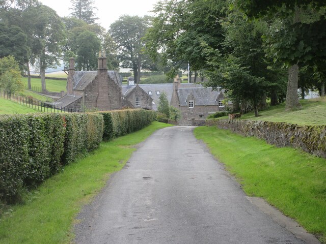
Auchnacree is primarily a residential area, with charming cottages and houses dotting the landscape. The village is well-maintained, with beautifully manicured gardens and tidy streets. Although small in size, Auchnacree has a few amenities to cater to the needs of its residents, including a local convenience store and a community hall that serves as a hub for various events and gatherings.

The surrounding area offers plenty of opportunities for outdoor activities, with numerous walking trails and cycling routes winding through the countryside. Auchnacree is also within easy reach of the Angus Glens, a popular destination for hikers and nature enthusiasts. Additionally, the nearby town of Forfar provides a range of amenities, including shops, restaurants, and leisure facilities.

In conclusion, Auchnacree is a charming village in Angus, Scotland, known for its natural beauty, friendly community, and easy access to outdoor activities. It is a peaceful and welcoming place that offers a taste of rural Scottish life.

If you have any feedback on the listing, please let us know in the comments section below.
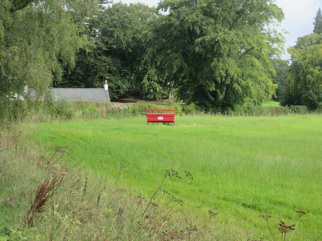
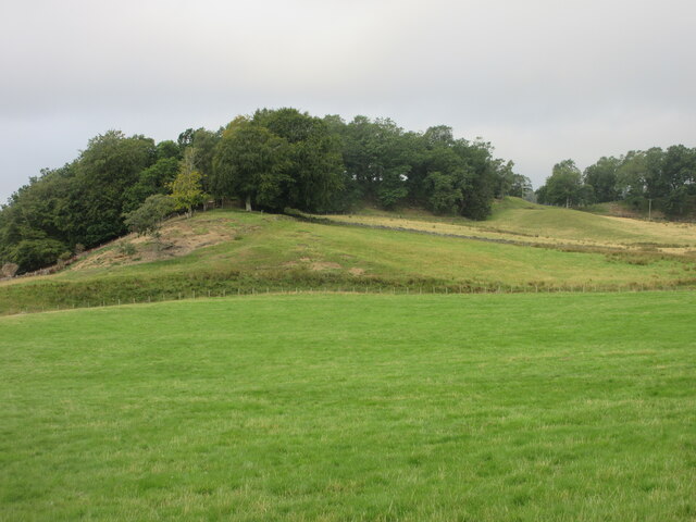
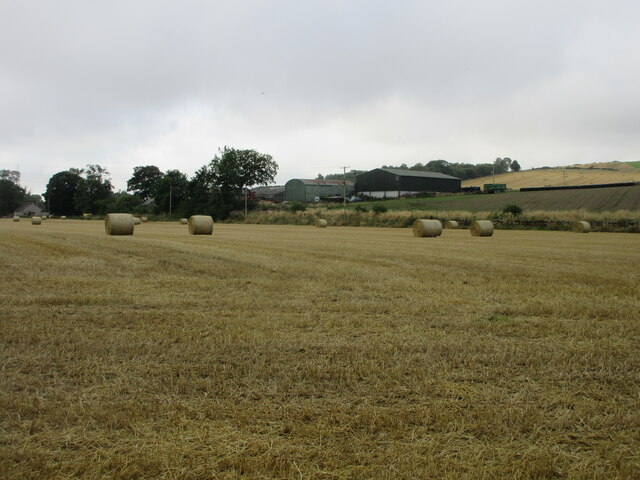
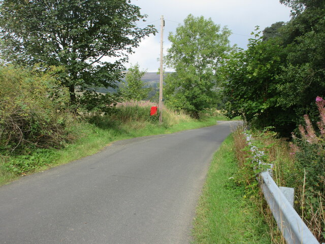
Auchnacree Images

Images are sourced within 2km of 56.75547/-2.8847393 or Grid Reference NO4663. Thanks to Geograph Open Source API. All images are credited.

Field of bales at Deuchar Harvested field with bales, viewed from the access road to Deuchar.
Field of bales at Deuchar
Harvested field with bales, viewed from the access road to Deuchar.
Eastern flank of Well Hill Looking up the eastern side of Well Hill, dotted with cattle.
Eastern flank of Well Hill
Looking up the eastern side of Well Hill, dotted with cattle.
Fields between Auchnacree and Afflochie Undulating grassy fields viewed from south of Afflochie, with the southern flank of Pinderachy in the distance.
Fields between Auchnacree and Afflochie
Undulating grassy fields viewed from south of Afflochie, with the southern flank of Pinderachy in the distance.
Cruick Water The Cruick Water looking downstream at Afflochie.
Cruick Water
The Cruick Water looking downstream at Afflochie.
Bracken hillside Bracken covered hillside between Auchnacree and Afflochie, with Pinderachy under cloud beyond.
Bracken hillside
Bracken covered hillside between Auchnacree and Afflochie, with Pinderachy under cloud beyond.
Road to Auchnacree Approaching Auchnacree downhill from the west.
Road to Auchnacree
Approaching Auchnacree downhill from the west.
Debris covered lochan Lochan covered in foliage debris viewed east from the Glenley to Auchnacree road.
Debris covered lochan
Lochan covered in foliage debris viewed east from the Glenley to Auchnacree road.
Grassy pastureland near Glenogil Looking south to pastureland between Glenogil and Glenley.
Grassy pastureland near Glenogil
Looking south to pastureland between Glenogil and Glenley.
Cattle feeder near Glenogil Cattle feeder in a field between Glenogil and the Noran Water.
Cattle feeder near Glenogil
Cattle feeder in a field between Glenogil and the Noran Water.
Tree covered hillock Looking west from the Glenogil road to a hillock covered in woodland near the Den of Ogil.
Tree covered hillock
Looking west from the Glenogil road to a hillock covered in woodland near the Den of Ogil.
Bales at the Mains of Ogil Looking south to a harvested field with bales, with the Mains of Ogil beyond.
Bales at the Mains of Ogil
Looking south to a harvested field with bales, with the Mains of Ogil beyond.
Postbox at Ogil Postbox on the roadside near the site of the old telephone box at Ogil.
Postbox at Ogil
Postbox on the roadside near the site of the old telephone box at Ogil.
Mountains Animal Sanctuary at Milton of Ogil
Minor road at Milton of Ogil
Beautiful farmland south of the Angus hills
View south-west from Deuchar Farm near Brechin
Part of Deuchar Hill from Deuchar Farm near Brechin
Field of potatoes at Noranside
Show me another place!

Auchnacree is located at Grid Ref: NO4663 (Lat: 56.75547, Lng: -2.8847393)

Unitary Authority: Angus

Police Authority: Tayside

What 3 Words

///riverside.witty.could. Near Kirriemuir, Angus

Nearby Locations

Auchnacree

Related Wikis

Have you been to Auchnacree?

Leave your review of Auchnacree below (or comments, questions and feedback).