Auchnagatt
Settlement in Aberdeenshire
Scotland
Auchnagatt
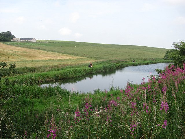
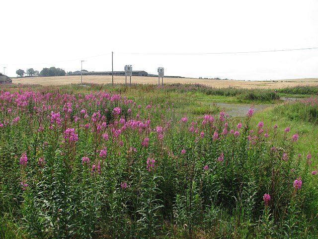
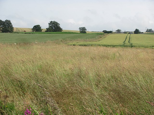
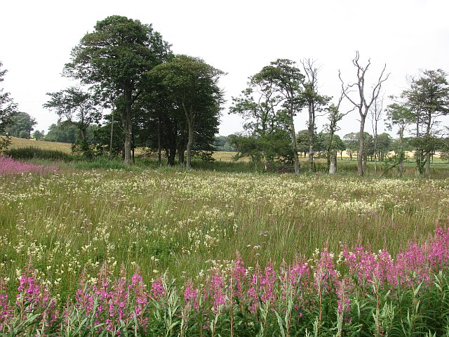
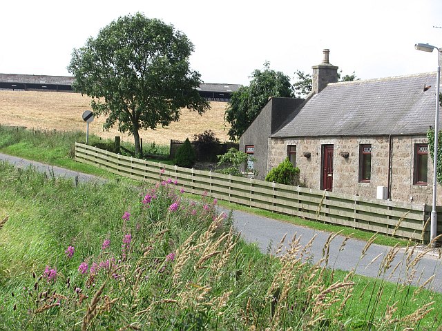
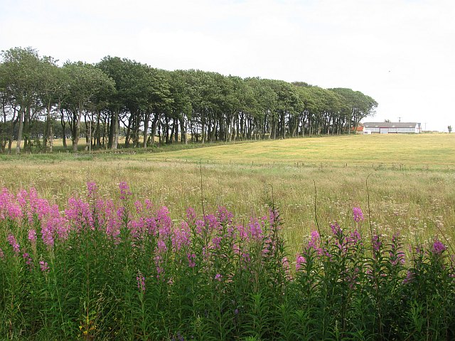
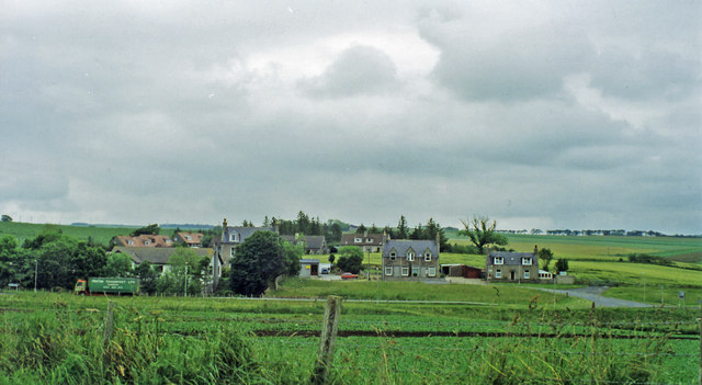
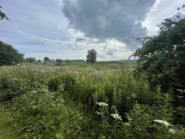
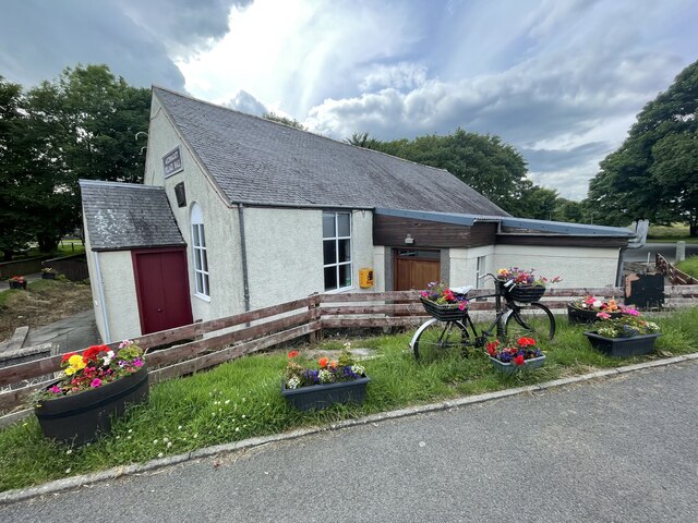
Auchnagatt is a small village located in the county of Aberdeenshire, Scotland. Situated approximately 20 miles north of Aberdeen, Auchnagatt is nestled in the scenic countryside of the region. The village is surrounded by rolling hills and picturesque farmland, offering residents and visitors a peaceful and idyllic setting.
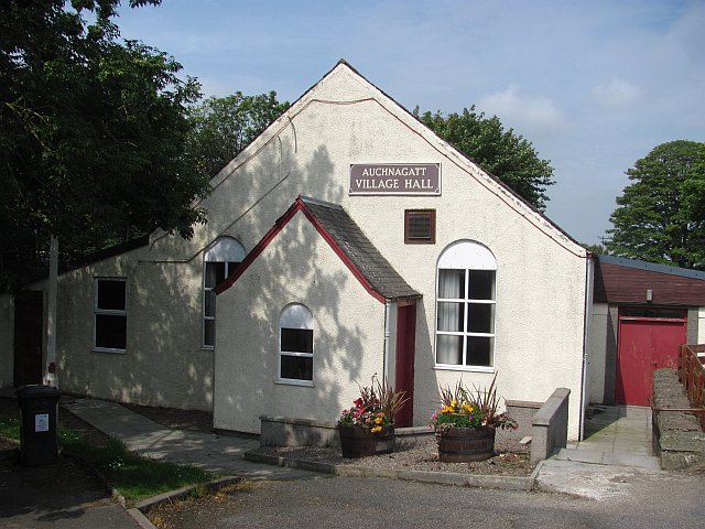
Despite its small size, Auchnagatt has a strong sense of community and a rich history. The village is home to a population of around 600 people, who enjoy the tight-knit and friendly atmosphere. The community often organizes events and activities, such as the annual Auchnagatt Gala, which brings together residents of all ages for a day of fun and celebration.
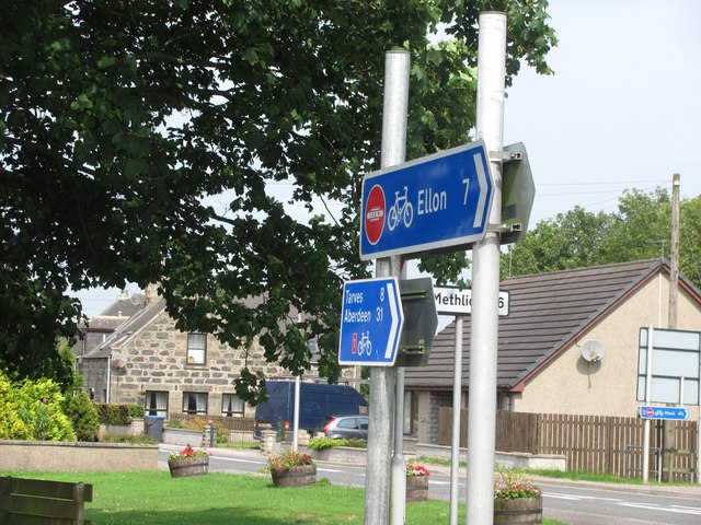
Auchnagatt offers amenities such as a primary school, a local shop, and a pub, providing the essentials for daily life. For additional services and facilities, residents can easily access nearby towns and cities, including Ellon and Aberdeen.
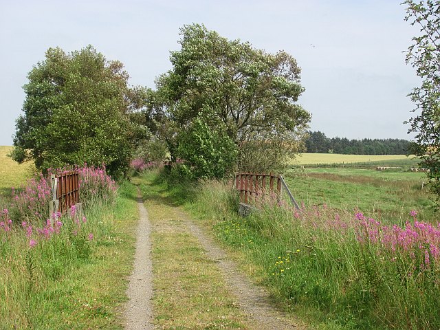
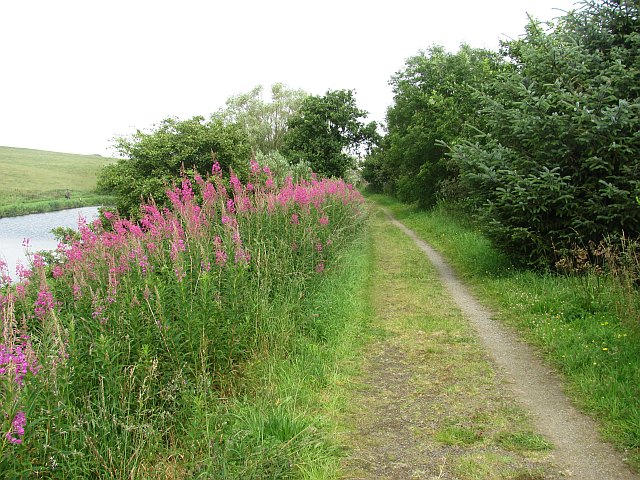
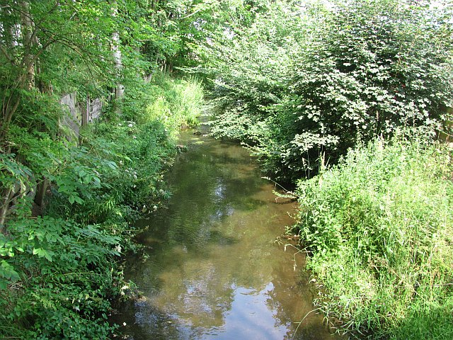
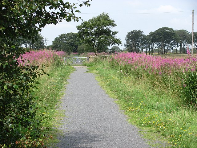
Nature enthusiasts will appreciate the abundance of outdoor activities available in Auchnagatt and its surroundings. The area offers opportunities for scenic walks, cycling, and fishing, with several rivers and nature reserves nearby. The nearby Fyvie Castle, a stunning 13th-century fortress, is also a popular attraction for history buffs and visitors.
Overall, Auchnagatt provides a tranquil and welcoming environment for those seeking a peaceful rural lifestyle, while still offering easy access to urban amenities and the natural beauty of Aberdeenshire.
If you have any feedback on the listing, please let us know in the comments section below.
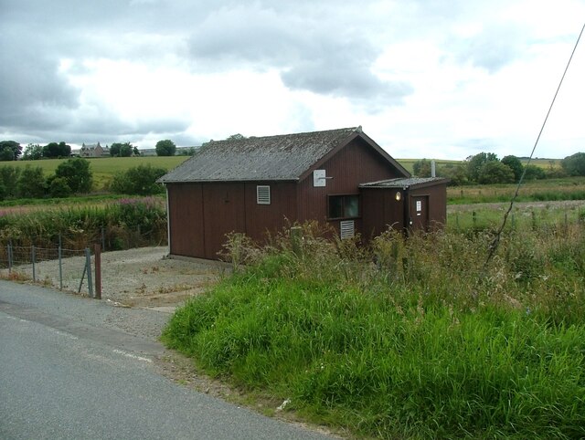
Auchnagatt Images
Images are sourced within 2km of 57.467279/-2.114709 or Grid Reference NJ9341. Thanks to Geograph Open Source API. All images are credited.
Auchnagatt is located at Grid Ref: NJ9341 (Lat: 57.467279, Lng: -2.114709)
Unitary Authority: Aberdeenshire
Police Authority: North East
What 3 Words
///tiny.masks.breakaway. Near Mintlaw, Aberdeenshire
Nearby Locations
Related Wikis

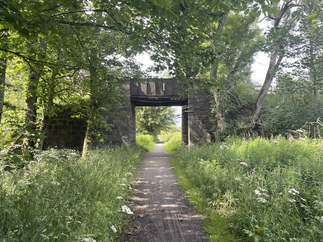
Auchnagatt railway station
Auchnagatt railway station was a railway station in Auchnagatt, Aberdeenshire. Before its closure, services ran to Fraserburgh, Peterhead and Aberdeen...

Auchnagatt
Auchnagatt (Scottish Gaelic: Achadh nan Cat) is a village and rural area in Buchan, Aberdeenshire, Scotland, situated on the Ebrie Burn and on the A948...

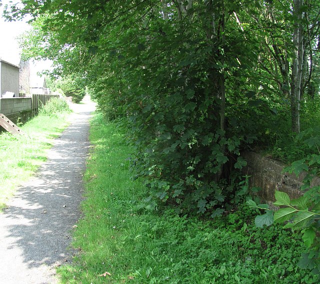
Formartine and Buchan Way
The Formartine and Buchan Way is a long-distance trail in Scotland, extending from Dyce north to Peterhead and Fraserburgh in the Buchan and Formartine...

Arnage Castle
Arnage Castle is a country house, incorporating a Z-plan tower house, located around 4 miles (6.4 km) north of Ellon, in Aberdeenshire, north-east Scotland...
Clackriach Castle
Clackriach Castle was a 16th-century tower house, about 11 miles (18 km) north of Ellon, Aberdeenshire, Scotland, and 1 mile (1.6 km) south-east of Maud...
Skelmuir Hill
Skelmuir Hill is a landform in Aberdeenshire, Scotland. This is the location of a trig point or official government survey marker. Skelmuir Hill is the...

Stuartfield
Stuartfield is a small inland village in the Buchan area of Aberdeenshire, Scotland, situated 1.8 kilometres (1.1 mi) south of Old Deer. It was formerly...

Arnage railway station
Arnage railway station was a railway station in Arnage, Aberdeenshire. == History == The station was opened on 18 July 1861 by the Formartine and Buchan...
Nearby Amenities
Located within 500m of 57.467279,-2.114709Have you been to Auchnagatt?
Leave your review of Auchnagatt below (or comments, questions and feedback).