Colston Hall Wood

Wood, Forest in Suffolk East Suffolk

England

Colston Hall Wood

Floods in the valley of the River Alde
Floods in the valley of the River Alde Credit: Christopher Hilton

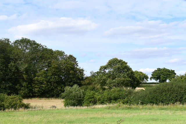
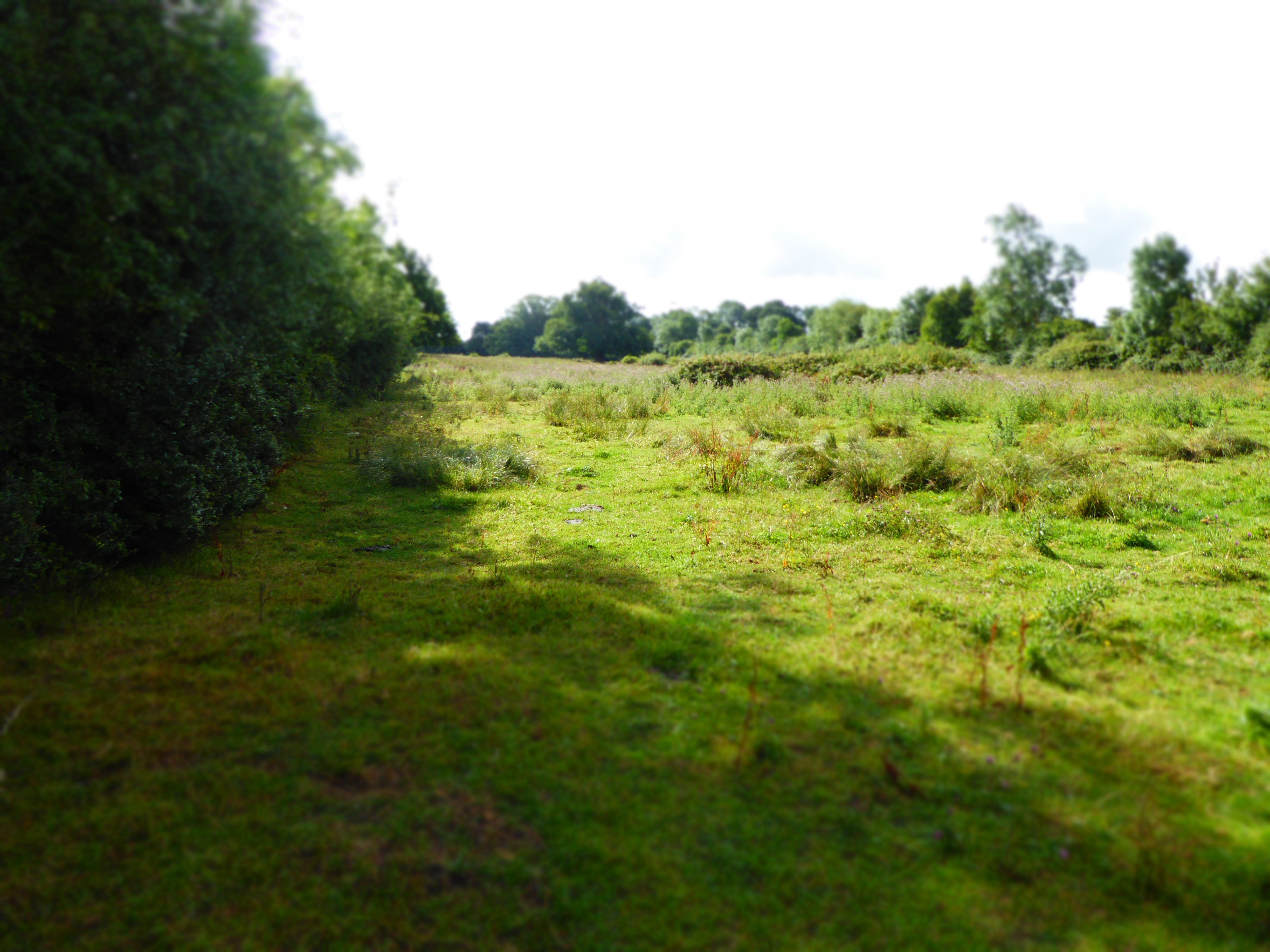
Colston Hall Wood is a charming woodland area located in the county of Suffolk, England. Stretching across an area of approximately 50 acres, it is nestled within the picturesque landscape of the Suffolk countryside. This woodland is home to a diverse range of flora and fauna, making it an important ecological site.

The wood is predominantly made up of deciduous trees, with oak, beech, and birch being the most common species. These majestic trees provide a lush canopy during the warmer months, creating a serene and peaceful atmosphere. The forest floor is adorned with a carpet of wildflowers and ferns, adding to its natural beauty.

Colston Hall Wood is a haven for wildlife enthusiasts and nature lovers alike. It is home to a plethora of bird species, including woodpeckers, thrushes, and owls. The woodland also supports a variety of small mammals, such as squirrels, rabbits, and hedgehogs. Additionally, the wood offers a habitat for several species of butterflies and insects.

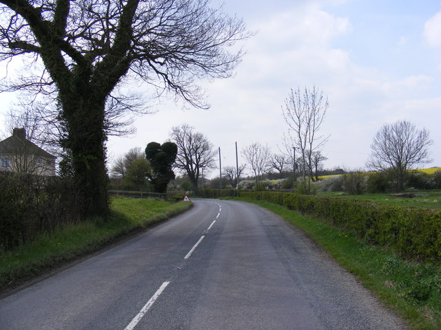
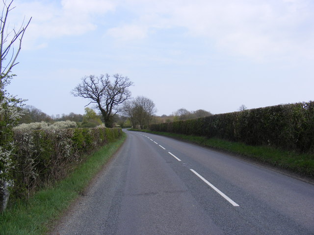
The wood is open to the public and offers a range of recreational activities. Visitors can enjoy peaceful walks along well-maintained trails, immersing themselves in the tranquil surroundings. The wood also provides a perfect setting for birdwatching, photography, and nature study.

Colston Hall Wood is not only a natural treasure but also a significant historical site. It is believed to have existed for several centuries and has witnessed the passage of time. Its ancient trees and timeless beauty make it a cherished part of Suffolk's natural heritage.

If you have any feedback on the listing, please let us know in the comments section below.

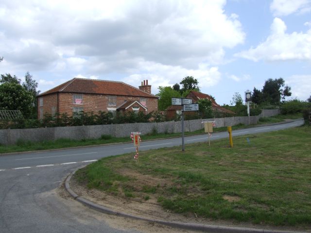
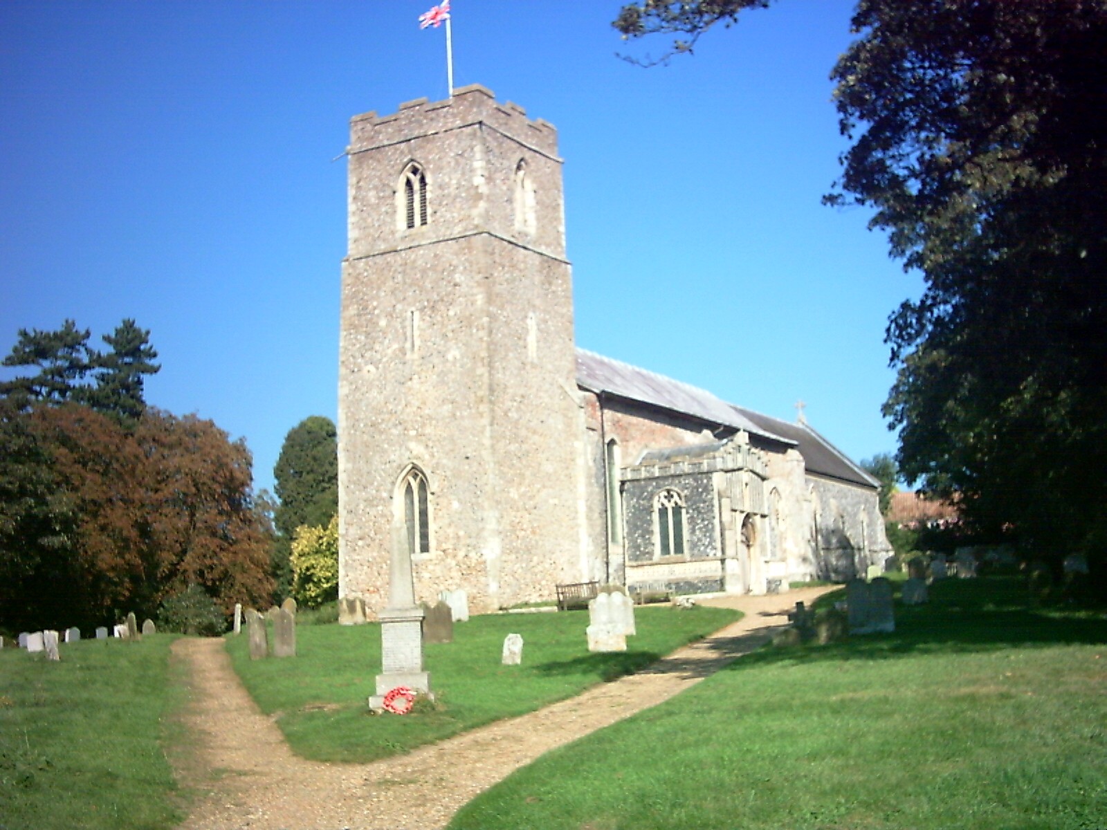
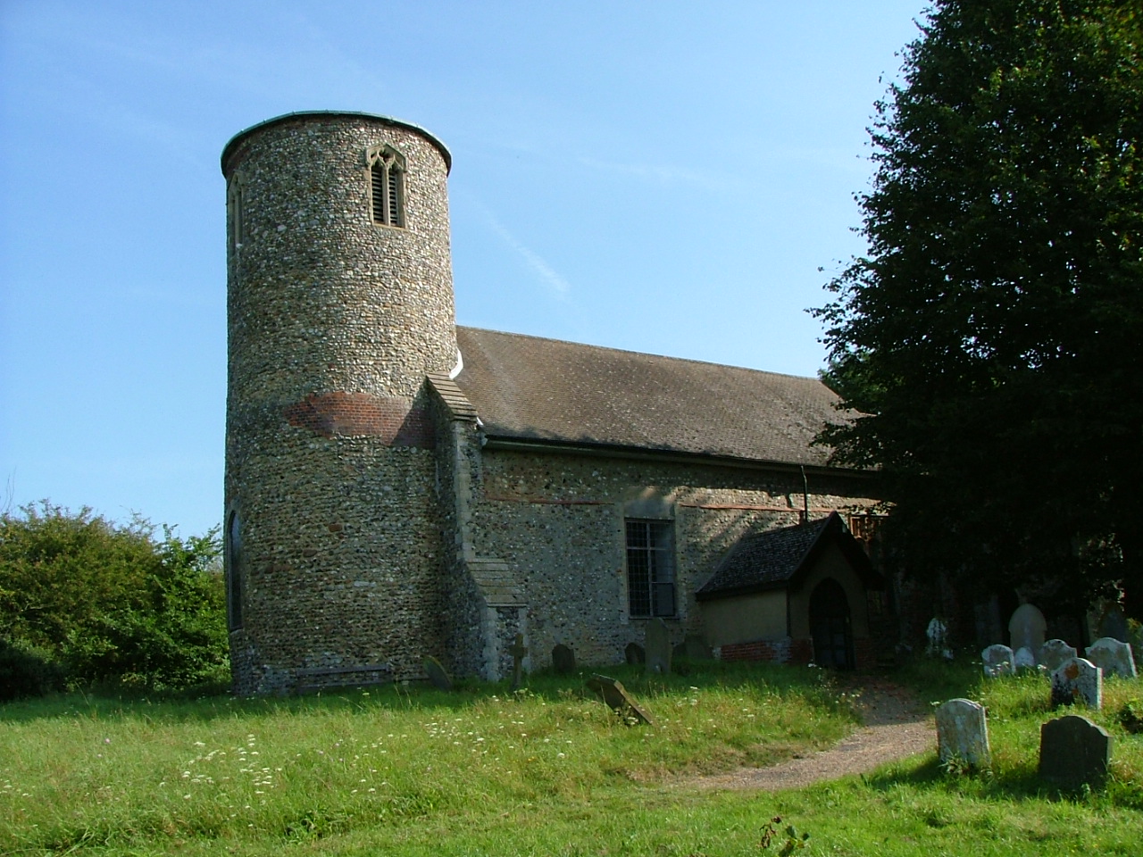
Colston Hall Wood Images

Images are sourced within 2km of 52.252499/1.3893595 or Grid Reference TM3167. Thanks to Geograph Open Source API. All images are credited.

Floods in the valley of the River Alde
Church of St. John the Baptist, Badingham <span class="nowrap"><a title="https://historicengland.org.uk/listing/the-list/list-entry/1030808?section=official-list-entry" rel="nofollow ugc noopener" href="https://historicengland.org.uk/listing/the-list/list-entry/1030808?section=official-list-entry">Link</a><img style="margin-left:2px;" alt="External link" title="External link - shift click to open in new window" src="https://s1.geograph.org.uk/img/external.png" width="10" height="10"/></span>
Church of St. John the Baptist, Badingham
Church of St. Peter, Bruisyard <span class="nowrap"><a title="https://historicengland.org.uk/listing/the-list/list-entry/1377166?section=official-list-entry" rel="nofollow ugc noopener" href="https://historicengland.org.uk/listing/the-list/list-entry/1377166?section=official-list-entry">Link</a><img style="margin-left:2px;" alt="External link" title="External link - shift click to open in new window" src="https://s1.geograph.org.uk/img/external.png" width="10" height="10"/></span>
Church of St. Peter, Bruisyard
Badingham: Dennington Wood
Houses Houses at the side of the busy A1120 east of Dennington, Suffolk.
Houses
Houses at the side of the busy A1120 east of Dennington, Suffolk.
Cowslips north of Dennington Wood I was wondering yesterday - where are all the cowslips this year? Here are some of them, just opening up to a cold April day in East Suffolk.
Cowslips north of Dennington Wood
I was wondering yesterday - where are all the cowslips this year? Here are some of them, just opening up to a cold April day in East Suffolk.
Small pond and Dennington Wood The public footpath proceeds across the scene and around the ivy-clad tree to the right.
Small pond and Dennington Wood
The public footpath proceeds across the scene and around the ivy-clad tree to the right.
Dennington Wood Taken from the A1120 Dennington Road
Dennington Wood
Taken from the A1120 Dennington Road
A1120 Badingham Road, Capon's Green Looking towards Wood Farm Cottages and Dennington
A1120 Badingham Road, Capon's Green
Looking towards Wood Farm Cottages and Dennington
A1120 Badingham Road, Capon's Green Looking towards Rook's Bridge and Badingham near Wash Farm
A1120 Badingham Road, Capon's Green
Looking towards Rook's Bridge and Badingham near Wash Farm
Roadsign on the A1120 Dennington Road
A1120 Dennington Road, Badingham Approaching the junction with the B1120 Framlingham Road
A1120 Dennington Road, Badingham
Approaching the junction with the B1120 Framlingham Road
Roadsigns on the B1120 At the junction with the A1120 Dennington Road
Roadsigns on the B1120
At the junction with the A1120 Dennington Road
Entering Badingham on the A1120 Dennington Road <span class="nowrap"><a title="https://en.wikipedia.org/wiki/Badingham" rel="nofollow ugc noopener" href="https://en.wikipedia.org/wiki/Badingham">Link</a><img style="margin-left:2px;" alt="External link" title="External link - shift click to open in new window" src="https://s1.geograph.org.uk/img/external.png" width="10" height="10"/></span>
Entering Badingham on the A1120 Dennington Road
Badingham Village Name sign on the A1120 <span class="nowrap"><a title="https://en.wikipedia.org/wiki/Badingham" rel="nofollow ugc noopener" href="https://en.wikipedia.org/wiki/Badingham">Link</a><img style="margin-left:2px;" alt="External link" title="External link - shift click to open in new window" src="https://s1.geograph.org.uk/img/external.png" width="10" height="10"/></span>
Badingham Village Name sign on the A1120
Badingham Village Hall Off Low Street
Badingham Village Hall
Off Low Street
Defibrillator & Badingham Village Hall sign Off Low Street
Defibrillator & Badingham Village Hall sign
Off Low Street
Low Street, Badingham Near Badingham Village Hall
Road No.C215
Low Street, Badingham
Near Badingham Village Hall Road No.C215
Show me another place!

Colston Hall Wood is located at Grid Ref: TM3167 (Lat: 52.252499, Lng: 1.3893595)

Administrative County: Suffolk

District: East Suffolk

Police Authority: Suffolk

What 3 Words

///rounds.backtrack.expired. Near Framlingham, Suffolk

Related Wikis

Hulver Street

Hulver Street, also known simply as Hulver, is a hamlet near the market town of Beccles, in the civil parish of Henstead with Hulver Street, in the East...

Badingham

Badingham is a civil parish in the East Suffolk district of eastern England, in the county of Suffolk. It is situated 21.8 miles (35.1 kilometres) north...

Bruisyard

Bruisyard is a village in the valley of the River Alde in the county of Suffolk, England. The village had a population of around 175 at the 2011 census...

Bruisyard Abbey

The Abbey of Bruisyard was a house of Minoresses (Poor Clares) at Bruisyard in Suffolk. It was founded from Campsey Priory in Suffolk on the initiative...

Cransford

Cransford is a village and a civil parish in the East Suffolk district, in the English county of Suffolk. The civil parish had a population at the 2011...

Cransford Meadow

Cransford Meadow is a 4.6-hectare (11-acre) biological Site of Special Scientific Interest south of Cransford in Suffolk.This unimproved grassland site...

Dennington

Dennington is a village and civil parish in the English county of Suffolk. It is 2 miles (3.2 km) north of Framlingham and 15 miles (24 km) north-east...

Framlingham Town F.C.

Framlingham Town Football Club is a football club based in Framlingham, Suffolk, England. Affiliated to the Suffolk County Football Association, they are...

Related Videos

Staying at a CL site

Waterpump CL Site Badingham Suffolk We stop off at Aldeburgh on the way The CL is located in the village of Badingham off the ...

St John the Baptist with scaffolding.

This church at Badkmgham Suffolk looked like it was going to be a little gem. unfortunately on the day we visited the nave was full ...

New Year at Waterpump CL

We spent the New Year weekend at Waterpump Caravan and Motorhome Club CL. This vlog shows us arriving at the CL, a tour of ...

Bruisyard Church

Tiny St. Peter's has sat on this hill since Norman times however the interior is largely Victorian restoration, the vestry was once a ...

Nearby Amenities

Located within 500m of 52.252499,1.3893595
Power: pole
Lat/Long: 52.2560981/1.3858634
Power: pole
Lat/Long: 52.2566643/1.3870188
Power: pole
Lat/Long: 52.2557302/1.384744
Fixme: incomplete
Lat/Long: 52.2481314/1.3898977
Colston Hall
Addr Postcode: IP13 8LB
Addr Street: Wood Road
Fhrs Id: 659868
Tourism: guest_house
Url: http://www.colstonhall.com/
Lat/Long: 52.2541901/1.3927261
The data included in this document is from www.openstreetmap.org. The data is made available under ODbL.

Have you been to Colston Hall Wood?

Leave your review of Colston Hall Wood below (or comments, questions and feedback).