Beech Wood

Wood, Forest in Norfolk South Norfolk

England

Beech Wood

A143 east at turning for Earsham
A143 east at turning for Earsham Credit: Roy Hughes

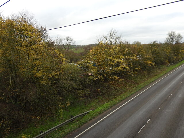
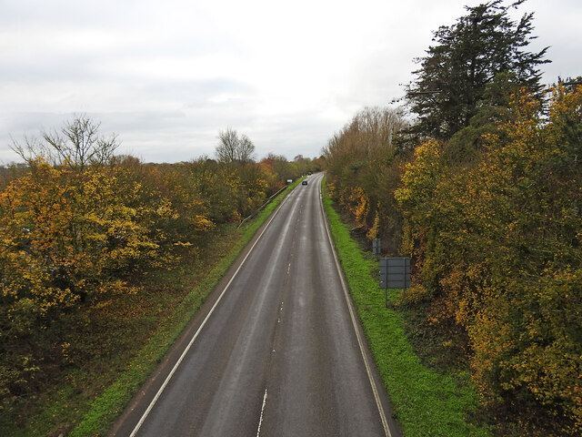
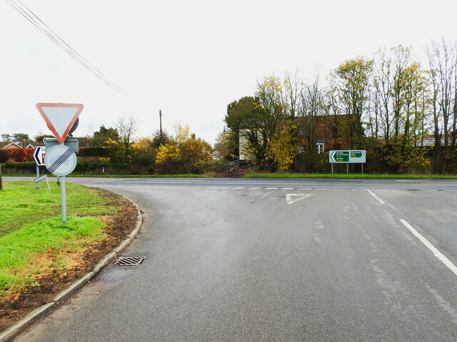
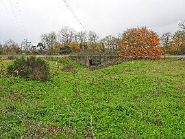
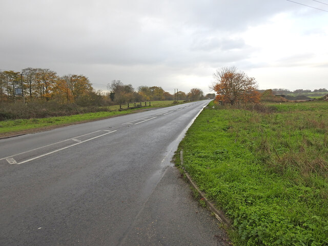
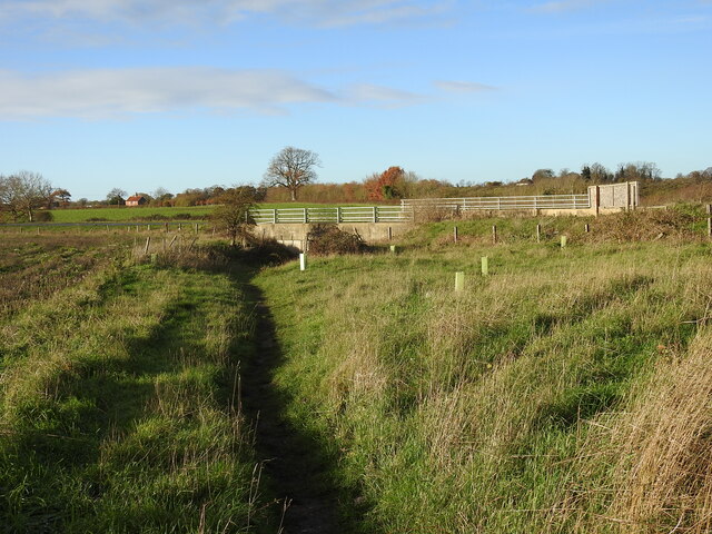
Beech Wood is a charming forest located in the county of Norfolk, England. Covering an area of approximately 50 acres, it is known for its stunning collection of beech trees that dominate the landscape. The wood is situated in a rural setting, surrounded by rolling hills and picturesque countryside, making it a popular destination for nature enthusiasts and hikers alike.

The beech trees in Beech Wood are particularly noteworthy for their tall and elegant stature, with some reaching heights of up to 30 meters. Their smooth, silver-gray bark adds to the visual appeal of the woodland. During spring, the wood is transformed into a sea of green as the beech trees come alive with fresh leaves, providing a canopy of shade for visitors to enjoy.

The forest floor is carpeted with a diverse range of flora, including bluebells, primroses, and wild garlic, creating a vibrant and colorful display during the blooming season. The undergrowth is home to a variety of wildlife, such as squirrels, rabbits, and various bird species, making it an ideal spot for birdwatching and animal observation.

Beech Wood offers a network of well-maintained trails and pathways, enabling visitors to explore its natural beauty at their own pace. The wood is also equipped with picnic areas and benches, providing opportunities for relaxation and family outings. With its tranquil ambiance and scenic surroundings, Beech Wood is a true gem of Norfolk, attracting both locals and tourists seeking a peaceful retreat in nature.

If you have any feedback on the listing, please let us know in the comments section below.

Beech Wood Images

Images are sourced within 2km of 52.454775/1.4050615 or Grid Reference TM3189. Thanks to Geograph Open Source API. All images are credited.

A143 east at turning for Earsham
Earsham turning on A143 east
A143 east at Suffolk County border sign
Earsham Hall: Car parking area
Drift House, Bungay The building has the appearance of being a church.
Drift House, Bungay
The building has the appearance of being a church.
Alms houses in Outney Road, Bungay St Edmund’s Almshouse, built in 1895 to the designs of E Banham, using funds donated by Frederick Smith (1833-1903), a local solicitor, is listed at Grade II, built of red brick laid in Flemish bond with stone dressings and plain red tiled roof covering.
Alms houses in Outney Road, Bungay
St Edmund’s Almshouse, built in 1895 to the designs of E Banham, using funds donated by Frederick Smith (1833-1903), a local solicitor, is listed at Grade II, built of red brick laid in Flemish bond with stone dressings and plain red tiled roof covering.
St Edmund's alms houses, Bungay - plaque detail The central gable, which is taller than those flanking it, contains this carved stone plaque with Gothic trefoil arches bearing the date of 1895 and St Edmund’s Homes with the entwined letters SE above.
St Edmund's alms houses, Bungay - plaque detail
The central gable, which is taller than those flanking it, contains this carved stone plaque with Gothic trefoil arches bearing the date of 1895 and St Edmund’s Homes with the entwined letters SE above.
St Edmund's alms houses, Bungay - chimney detail Above the steeply pitched roof are five tall octagonal chimneys shafts with moulded brick bases and star tops.
St Edmund's alms houses, Bungay - chimney detail
Above the steeply pitched roof are five tall octagonal chimneys shafts with moulded brick bases and star tops.
The site of the former Bungay Railway Station Now a car park for the employees of Clays Printing Works.
The station was 12¾ miles from Tivetshall and necessitated the building of two bridges numbers 1190 and 1192, within a half mile of each other, over the River Waveney as well as minor bridges over drainage ditches.
The station itself had two platforms although only a single line each side of the station. The signal box was located between the station building and the Outney overbridge. The station underwent an improvement and expansion in 1933 when the previous wooden buildings were replaced with purpose-built brick buildings with all the usual amenities plus a W H Smith newspaper and book stall. The goods yard which was separated from the passenger station by the Outney overbridge consisted of a large crossing loop sidings and a goods shed containing a 30 cwt crane, cattle pens and loading dock. Coal bunkers and a water tank (still in use at The North Norfolk Railway).
The site of the former Bungay Railway Station
Now a car park for the employees of Clays Printing Works. The station was 12¾ miles from Tivetshall and necessitated the building of two bridges numbers 1190 and 1192, within a half mile of each other, over the River Waveney as well as minor bridges over drainage ditches. The station itself had two platforms although only a single line each side of the station. The signal box was located between the station building and the Outney overbridge. The station underwent an improvement and expansion in 1933 when the previous wooden buildings were replaced with purpose-built brick buildings with all the usual amenities plus a W H Smith newspaper and book stall. The goods yard which was separated from the passenger station by the Outney overbridge consisted of a large crossing loop sidings and a goods shed containing a 30 cwt crane, cattle pens and loading dock. Coal bunkers and a water tank (still in use at The North Norfolk Railway).
The former site of Bungay Waveney Valley Railway Station In the trees and in part of the car park behind was the site of Bungay Railway Station. The station was 12¾ miles from Tivetshall and necessitated the building of two bridges numbers 1190 and 1192, within a half mile of each other, over the River Waveney as well as minor bridges over drainage ditches.
The station itself had two platforms although only a single line each side of the station. The signal box was located between the station building and the Outney overbridge. The station underwent an improvement and expansion in 1933 when the previous wooden buildings were replaced with purpose-built brick buildings with all the usual amenities plus a W H Smith newspaper and book stall. The goods yard which was separated from the passenger station by the Outney overbridge consisted of a large crossing loop sidings and a goods shed containing a 30 cwt crane, cattle pens and loading dock. Coal bunkers and a water tank which is still in use at Weybourne Station on the North Norfolk Railway.  <a href="https://www.geograph.org.uk/photo/7353291">TG1141 : Water tank at Weybourne railway station</a>
The former site of Bungay Waveney Valley Railway Station
In the trees and in part of the car park behind was the site of Bungay Railway Station. The station was 12¾ miles from Tivetshall and necessitated the building of two bridges numbers 1190 and 1192, within a half mile of each other, over the River Waveney as well as minor bridges over drainage ditches. The station itself had two platforms although only a single line each side of the station. The signal box was located between the station building and the Outney overbridge. The station underwent an improvement and expansion in 1933 when the previous wooden buildings were replaced with purpose-built brick buildings with all the usual amenities plus a W H Smith newspaper and book stall. The goods yard which was separated from the passenger station by the Outney overbridge consisted of a large crossing loop sidings and a goods shed containing a 30 cwt crane, cattle pens and loading dock. Coal bunkers and a water tank which is still in use at Weybourne Station on the North Norfolk Railway. TG1141 : Water tank at Weybourne railway station
Former line of the railway converted to a road (looking south) This was the line of the former Waveney Valley Railway. Bungay Station was to the left of the picture in and behind the trees. Just this side of the car in the distance is the bridge crossing the River Waveney taking us back into Norfolk.  The Bridge was designated the number 1190 by the WVR.  Next stop, Earsham.
Former line of the railway converted to a road (looking south)
This was the line of the former Waveney Valley Railway. Bungay Station was to the left of the picture in and behind the trees. Just this side of the car in the distance is the bridge crossing the River Waveney taking us back into Norfolk. The Bridge was designated the number 1190 by the WVR. Next stop, Earsham.
Site of the WW2 munitions siding at Earsham This was the access road and the siding ran alongside, to the left of the concrete roadway. It was here that, during WW2, a siding of about 437 yards (400 metres) was constructed north of the track for munitions and other materials to be off-loaded onto trucks for delivery to the local airfields.  In the meantime many of the bombs were stored alongside roads nearby including Whitehouse and Hogg Lane and Denton Road. <a href="https://www.geograph.org.uk/photo/7354966">TM2990 : One of the eight similar hard-standings </a> It was a dispersed USAAF bomb storage facility that had its headquarters at Earsham Hall, which was requisitioned for the purpose. Many of the roadside hard standings remain extant to this day. During the time the siding was in existence more than 200,000 tons of freight, mainly bombs were delivered by 625 special trains.
Site of the WW2 munitions siding at Earsham
This was the access road and the siding ran alongside, to the left of the concrete roadway. It was here that, during WW2, a siding of about 437 yards (400 metres) was constructed north of the track for munitions and other materials to be off-loaded onto trucks for delivery to the local airfields. In the meantime many of the bombs were stored alongside roads nearby including Whitehouse and Hogg Lane and Denton Road. TM2990 : One of the eight similar hard-standings It was a dispersed USAAF bomb storage facility that had its headquarters at Earsham Hall, which was requisitioned for the purpose. Many of the roadside hard standings remain extant to this day. During the time the siding was in existence more than 200,000 tons of freight, mainly bombs were delivered by 625 special trains.
The former Earsham railway station house The old platform is still extant and the sloping end can be seen just in front of the trees.
From the outset Earsham Station was a passenger station and had no goods facilities. The single 310 feet long platform and a signal box were its only other assets, being only a mile west of Bungay additional works were deemed unwarranted. The station bisected Hall Road, the village end of which was thereafter known as Station Road with a level crossing on the Bungay side.
The former Earsham railway station house
The old platform is still extant and the sloping end can be seen just in front of the trees. From the outset Earsham Station was a passenger station and had no goods facilities. The single 310 feet long platform and a signal box were its only other assets, being only a mile west of Bungay additional works were deemed unwarranted. The station bisected Hall Road, the village end of which was thereafter known as Station Road with a level crossing on the Bungay side.
Site of the former level crossing at Earsham This side of the Hall Road has been realigned and widened, but the position of the gates were to the left of the former station between it and the telegraph pole.
The other side of what was Hall Road before it was bisected by the railway was renamed Station Road.
Site of the former level crossing at Earsham
This side of the Hall Road has been realigned and widened, but the position of the gates were to the left of the former station between it and the telegraph pole. The other side of what was Hall Road before it was bisected by the railway was renamed Station Road.
Remains of the 310 feet long station platform at Earsham This picture was taken as if standing on the former level crossing of the railway  which ran this side of the platform with the signal box out from the right side of the picture
Remains of the 310 feet long station platform at Earsham
This picture was taken as if standing on the former level crossing of the railway which ran this side of the platform with the signal box out from the right side of the picture
Underpass on the site of a former level crossing The Waveney Valley line had a level crossing (#61) where this road now passes over an underpass created for the farmer to access the land on the opposite side of the road.
Underpass on the site of a former level crossing
The Waveney Valley line had a level crossing (#61) where this road now passes over an underpass created for the farmer to access the land on the opposite side of the road.
A143 Old Railway Road past the munitions siding West (right) of the road was a loop siding which was installed in 1944 for materials and munitions to be offloaded for storage and onward delivery to the American Bomb Groups at the airfields in the vicinity for final delivery to Germany. A concrete roadway <a href="https://www.geograph.org.uk/photo/7355018">TM3087 : Site of the WW2 munitions siding at Earsham</a> stretched the length of the siding which was about 450 yards (411 metres).
The railings are the site of an underpass which was the location of the level crossing (#61) at Drakes Lane crossing.
A143 Old Railway Road past the munitions siding
West (right) of the road was a loop siding which was installed in 1944 for materials and munitions to be offloaded for storage and onward delivery to the American Bomb Groups at the airfields in the vicinity for final delivery to Germany. A concrete roadway TM3087 : Site of the WW2 munitions siding at Earsham stretched the length of the siding which was about 450 yards (411 metres). The railings are the site of an underpass which was the location of the level crossing (#61) at Drakes Lane crossing.
Underpass, the site of a former level crossing #63 The road alignment has been much altered but this was the site of the Five Acre Lane crossing. There is no sign of a gatekeepers cottage so it was the train crew who would have operated the gates. The gates were removed in 1954 while trains still ran on the line.
The old lane is now a footpath which follows the follows the same route as far as Pheasant's Walk.
Underpass, the site of a former level crossing #63
The road alignment has been much altered but this was the site of the Five Acre Lane crossing. There is no sign of a gatekeepers cottage so it was the train crew who would have operated the gates. The gates were removed in 1954 while trains still ran on the line. The old lane is now a footpath which follows the follows the same route as far as Pheasant's Walk.
Show me another place!

Beech Wood is located at Grid Ref: TM3189 (Lat: 52.454775, Lng: 1.4050615)

Administrative County: Norfolk

District: South Norfolk

Police Authority: Norfolk

What 3 Words

///alarming.flexibly.legend. Near Bungay, Suffolk

Related Wikis

Earsham railway station

Earsham was a railway station in Earsham, Norfolk, England. It was located on the Waveney Valley Line which connected Beccles with the Great Eastern Main...
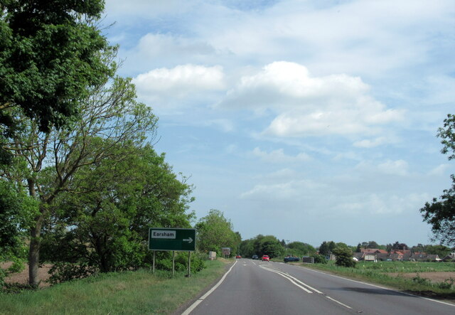
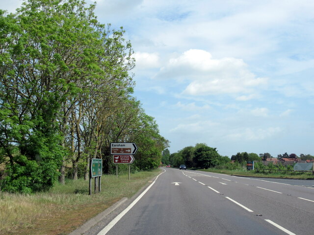
Earsham

Earsham is a village and civil parish in the English county of Norfolk. Earsham is located 1.7 kilometres (1.1 mi) west of its postal town of Bungay and...

Bungay railway station

Bungay railway station was located on the now disused Waveney Valley Line which ran between Tivetshall and Beccles. The station was closed in 1953 and...

Bath Hills

Bath Hills is a 12.2-hectare (30-acre) Local Nature Reserve west of Ditchingham in Norfolk. It is owned by South Norfolk District Council and managed...

Bungay Castle

Bungay Castle is a Grade I listed building in the town of Bungay, Suffolk. == History == The site was originally a Norman castle built by Roger Bigod in...

Bungay

Bungay () is a market town, civil parish and electoral ward in the English county of Suffolk. It lies in the Waveney Valley, 5.5 miles (9 km) west of Beccles...

St Mary's Church, Bungay

St Mary's Church is a redundant Anglican church in the town of Bungay, Suffolk, England. The church and the ruins of the adjacent priory are recorded...

Bungay Priory

Bungay Priory was a Benedictine nunnery in the town of Bungay in the English county of Suffolk. It was founded c. 1160-1185 by the Countess Gundreda, wife...

Nearby Amenities

Located within 500m of 52.454775,1.4050615
Passing Place
Lat/Long: 52.453381/1.4105948
Passing Place
Lat/Long: 52.4524264/1.4111806
Passing Place
Lat/Long: 52.4583185/1.408492
Passing Place
Lat/Long: 52.4541632/1.4098859
Power: pole
Lat/Long: 52.4530223/1.4115448
Power: pole
Transformer: distribution
Lat/Long: 52.4529145/1.4106898
Power: pole
Transformer: distribution
Lat/Long: 52.4569408/1.4069117
Power: pole
Lat/Long: 52.4559406/1.4075921
Power: pole
Lat/Long: 52.4548804/1.4082934
Power: pole
Lat/Long: 52.4538675/1.4089708
Power: pole
Lat/Long: 52.4528327/1.4096453
Power: pole
Lat/Long: 52.4522325/1.4100601
Power: pole
Transformer: distribution
Lat/Long: 52.4548456/1.3993956
Power: pole
Lat/Long: 52.4536622/1.3987693
Power: pole
Lat/Long: 52.454522/1.3992333
Give Way
Lat/Long: 52.4544844/1.4001453
Give Way
Lat/Long: 52.4545794/1.3999125
Give Way
Lat/Long: 52.4546366/1.4000149
Give Way
Lat/Long: 52.4537448/1.4022294
Give Way
Lat/Long: 52.4536206/1.4023619
Give Way
Lat/Long: 52.4536769/1.4024767
Bench
Backrest: yes
Colour: brown
Material: wood
Seats: 3
Lat/Long: 52.4536116/1.402397
Power: pole
Lat/Long: 52.457804/1.4067408
Power: pole
Lat/Long: 52.4586494/1.4065705
Passing Place
Lat/Long: 52.4579797/1.4080893
Passing Place
Lat/Long: 52.4565474/1.4081121
Passing Place
Lat/Long: 52.4558313/1.408357
Passing Place
Lat/Long: 52.4551055/1.4087471
The data included in this document is from www.openstreetmap.org. The data is made available under ODbL.

Have you been to Beech Wood?

Leave your review of Beech Wood below (or comments, questions and feedback).