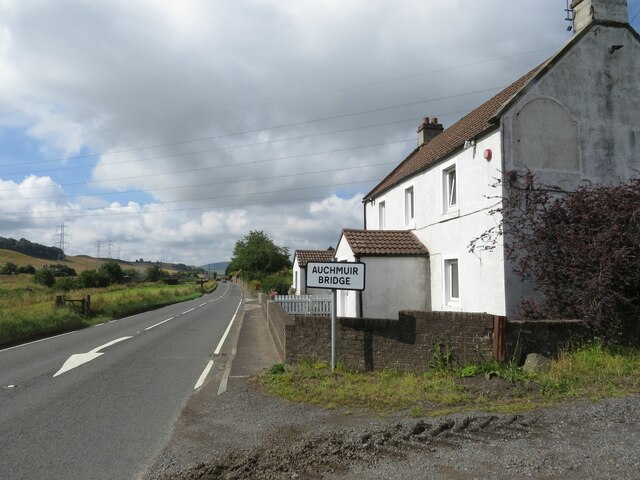
Auchmuirbridge
Settlement in Fife
Scotland
Auchmuirbridge
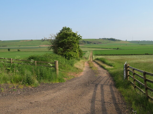
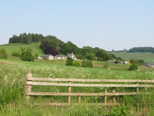
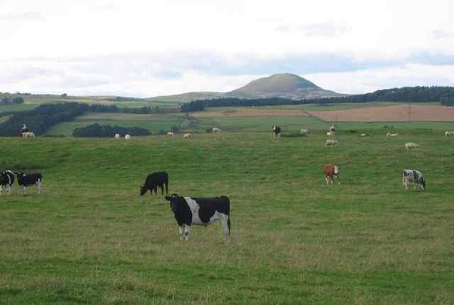
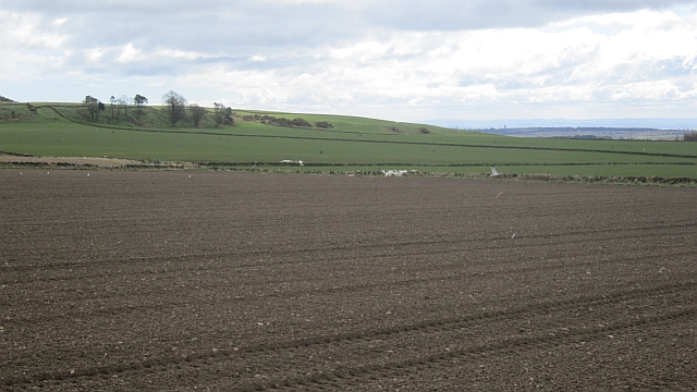
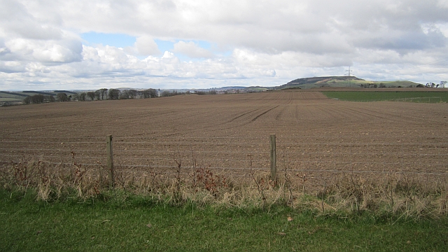
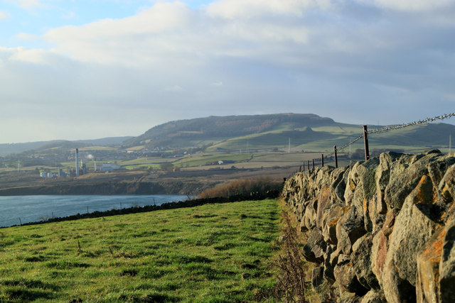
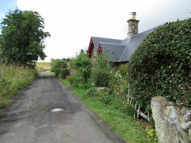
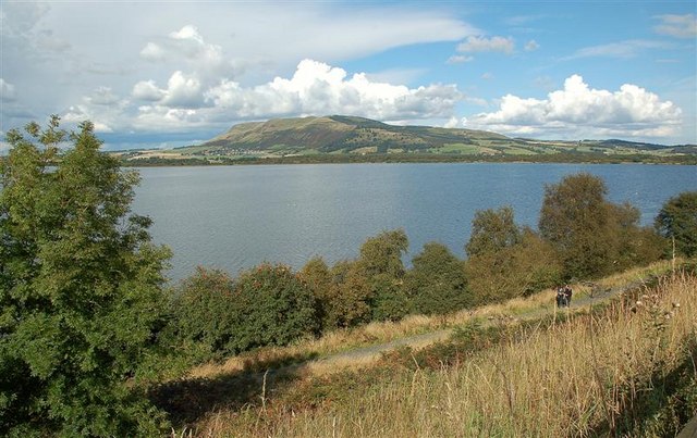
Auchmuirbridge is a small village located in the region of Fife, Scotland. Situated approximately 5 miles west of the town of Kirkcaldy, it lies on the A909 road, which connects Kirkcaldy to the nearby village of Cardenden. The village is nestled in a picturesque rural landscape, surrounded by rolling hills and farmland.
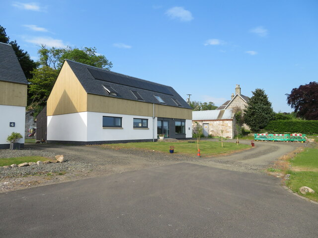
Auchmuirbridge is known for its peaceful and close-knit community, offering a tranquil retreat from the hustle and bustle of larger towns and cities. The village is primarily residential, with a mix of traditional stone-built houses and newer developments. It is a popular choice for families and individuals seeking a quieter way of life while still having easy access to nearby amenities.
Although Auchmuirbridge is a small village, it benefits from some local amenities, including a primary school, a village hall, and a local convenience store. The village also boasts a charming park and a small play area, providing recreational spaces for residents, particularly families with children.
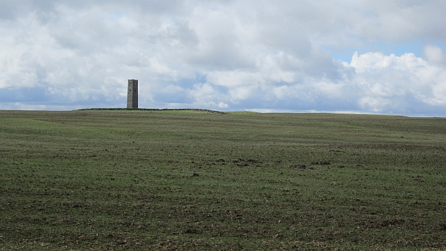
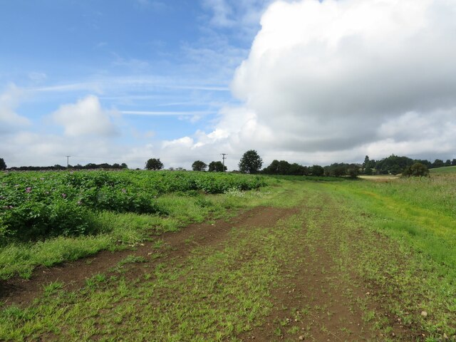
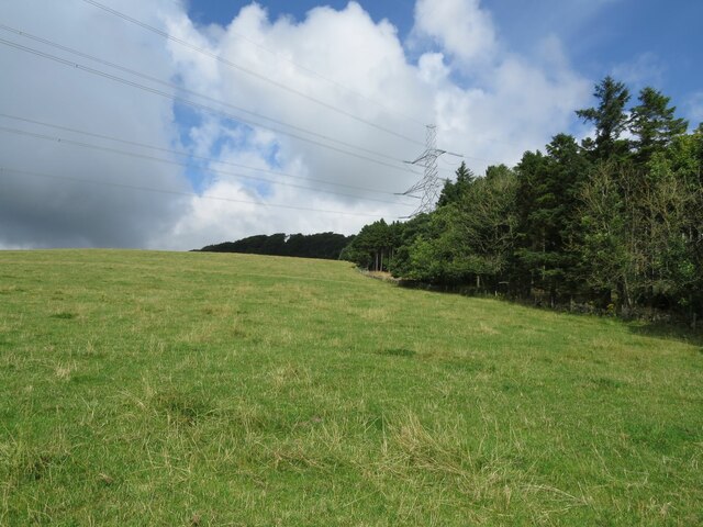
For those seeking outdoor activities, Auchmuirbridge is surrounded by beautiful countryside, offering opportunities for walking, cycling, and exploring the nearby nature reserves. The village is within close proximity to the Lomond Hills Regional Park, which attracts visitors with its stunning landscapes and scenic trails.
Overall, Auchmuirbridge is a tranquil and welcoming village, perfect for those seeking a peaceful lifestyle in a picturesque rural setting. Its close-knit community, scenic surroundings, and convenient location make it an attractive place to live for both families and individuals alike.
If you have any feedback on the listing, please let us know in the comments section below.
Auchmuirbridge Images
Images are sourced within 2km of 56.197778/-3.2636099 or Grid Reference NO2101. Thanks to Geograph Open Source API. All images are credited.
Auchmuirbridge is located at Grid Ref: NO2101 (Lat: 56.197778, Lng: -3.2636099)
Unitary Authority: Fife
Police Authority: Fife
What 3 Words
///domestic.unsecured.goat. Near Kinglassie, Fife
Nearby Locations
Related Wikis
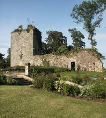
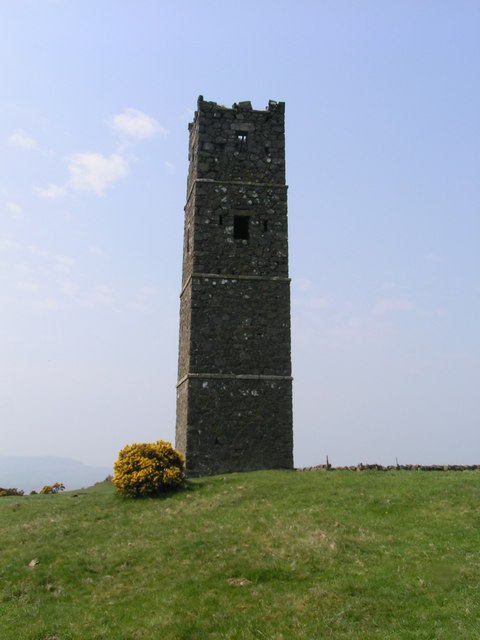
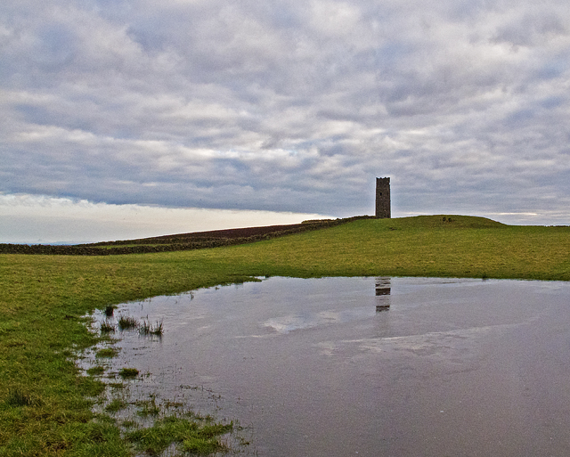
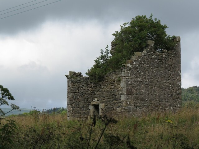
Arnot Tower
Arnot Tower is a ruined 16th-century castle located in the grounds of Arnot Tower House, less than 1 mile (1.6 km) from Scotlandwell, Perth and Kinross...

Leslie railway station
Leslie railway station served the village of Leslie, Fife, Scotland, from 1861 to 1932 on the Leslie Railway. == History == The station was opened on 1...

Scotlandwell
Scotlandwell is a village in Portmoak, Kinross-shire, Scotland. It is within the Perth and Kinross council area. It lies to the east of Loch Leven, at...
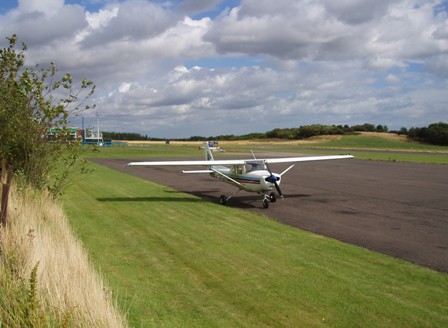
Fife Airport
Fife Airport (ICAO: EGPJ) (Scottish Gaelic: Port-adhair Fìobha) is an unlicensed aerodrome located 2 nautical miles (3.7 km; 2.3 mi) west of Glenrothes...
Portmoak
Portmoak is a parish in Kinross-shire, Scotland. It consists of a group of settlements running north to south: Glenlomond, Wester Balgedie, Easter Balgedie...

Leslie, Fife
Leslie (Scottish Gaelic: Fiodh Chill) is a large village and parish on the northern tip of the River Leven Valley, to the west of Glenrothes in Fife. According...

Glenwood High School, Glenrothes
Glenwood High School is a comprehensive, co-educational and non-denominational school serving the western part of the town of Glenrothes, Fife, Scotland...

Kinglassie
Kinglassie (Scottish Gaelic: Cill Ghlaise) is a small village and parish in central Fife, Scotland. It is located two miles southwest of Glenrothes. It...
Nearby Amenities
Located within 500m of 56.197778,-3.2636099Have you been to Auchmuirbridge?
Leave your review of Auchmuirbridge below (or comments, questions and feedback).