Kate Kelty Plantation
Wood, Forest in Fife
Scotland
Kate Kelty Plantation
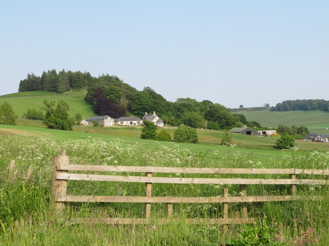
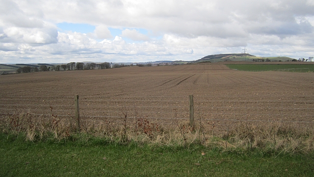
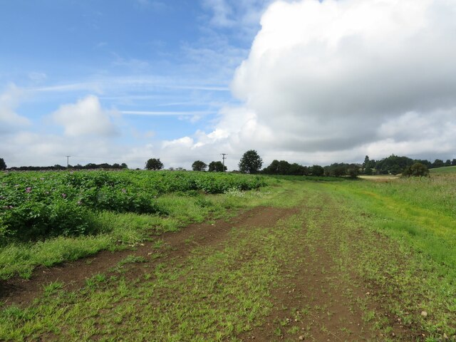
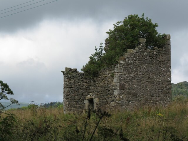
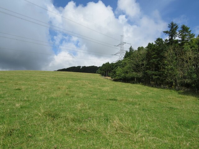
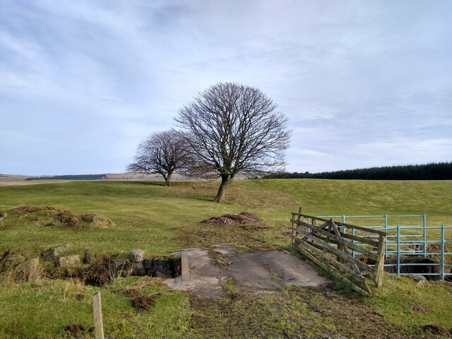
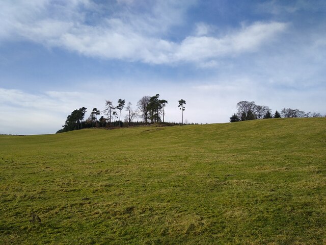
Kate Kelty Plantation is a sprawling woodland located in the county of Fife, Scotland. Covering an extensive area, the plantation is predominantly composed of dense forests and lush greenery, offering a serene and picturesque environment for visitors to explore.
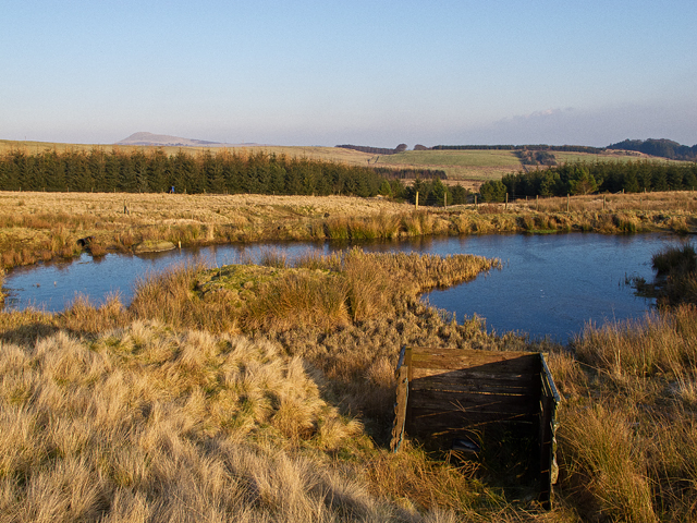
The plantation is renowned for its diverse range of tree species, including towering Scots pines, majestic oaks, and vibrant beech trees. These trees not only provide a breathtaking sight but also offer a habitat for various wildlife species, making it a haven for nature lovers and enthusiasts.
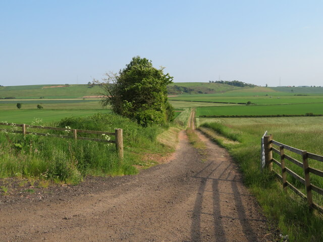
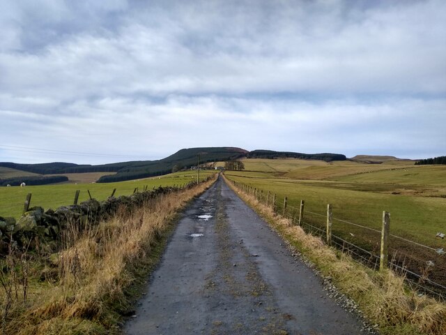
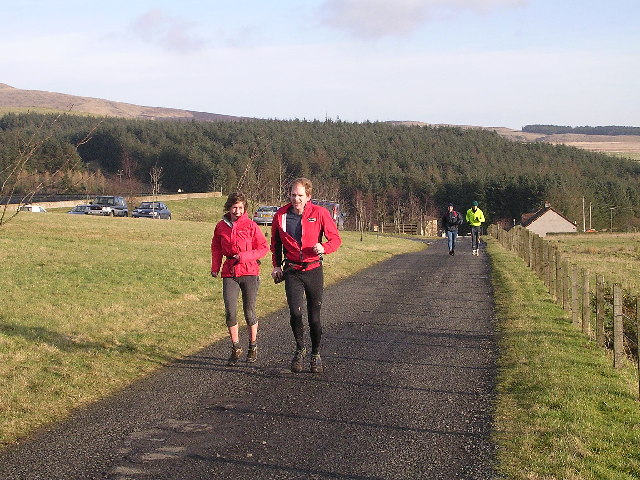
Trails and paths wind their way through the plantation, allowing visitors to embark on leisurely walks or invigorating hikes. These routes showcase the natural beauty of the area, providing breathtaking views of the surrounding countryside and glimpses of wildlife such as red squirrels, deer, and a variety of bird species.
The plantation also serves as a recreational space for outdoor activities. Visitors can engage in activities like cycling, horse riding, and picnicking, making it an ideal destination for families and individuals seeking a day of outdoor adventure.
Additionally, Kate Kelty Plantation offers educational opportunities, with informative signs and boards dotted throughout the area. These provide insightful information about the plantation's history, ecology, and the importance of conservation.
Overall, Kate Kelty Plantation, Fife is a captivating woodland that offers a tranquil escape from the bustling city life. Its natural beauty, diverse wildlife, and recreational opportunities make it a cherished destination for locals and tourists alike.
If you have any feedback on the listing, please let us know in the comments section below.
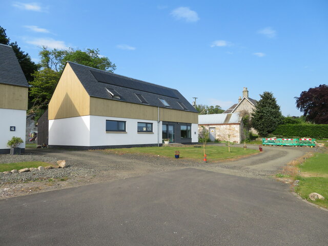
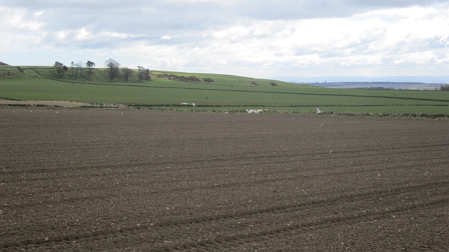
Kate Kelty Plantation Images
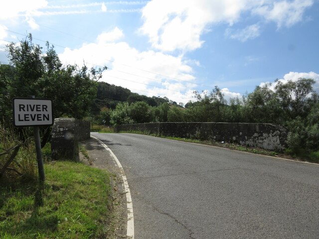
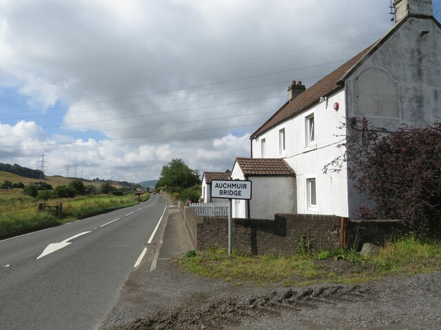
Images are sourced within 2km of 56.202591/-3.2656381 or Grid Reference NO2101. Thanks to Geograph Open Source API. All images are credited.

Kate Kelty Plantation is located at Grid Ref: NO2101 (Lat: 56.202591, Lng: -3.2656381)
Unitary Authority: Fife
Police Authority: Fife
What 3 Words
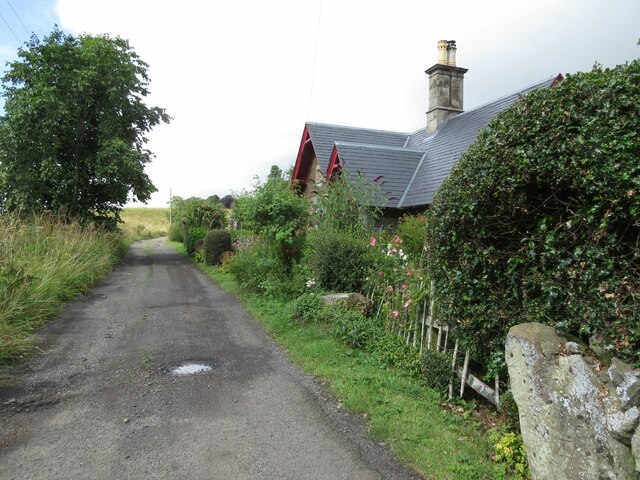
///forest.laws.mixes. Near Leslie, Fife
Nearby Locations
Related Wikis
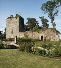
Arnot Tower
Arnot Tower is a ruined 16th-century castle located in the grounds of Arnot Tower House, less than 1 mile (1.6 km) from Scotlandwell, Perth and Kinross...
Portmoak
Portmoak is a parish in Kinross-shire, Scotland. It consists of a group of settlements running north to south: Glenlomond, Wester Balgedie, Easter Balgedie...

Leslie railway station
Leslie railway station served the village of Leslie, Fife, Scotland, from 1861 to 1932 on the Leslie Railway. == History == The station was opened on 1...

Scotlandwell
Scotlandwell is a village in Portmoak, Kinross-shire, Scotland. It is within the Perth and Kinross council area. It lies to the east of Loch Leven, at...

Leslie, Fife
Leslie (Scottish Gaelic: Fiodh Chill) is a large village and parish on the northern tip of the River Leven Valley, to the west of Glenrothes in Fife. According...
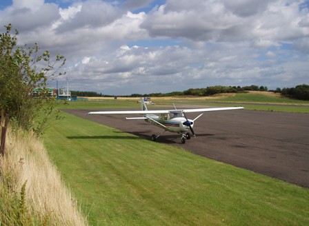
Fife Airport
Fife Airport (ICAO: EGPJ) (Scottish Gaelic: Port-adhair Fìobha) is an unlicensed aerodrome located 2 nautical miles (3.7 km; 2.3 mi) west of Glenrothes...

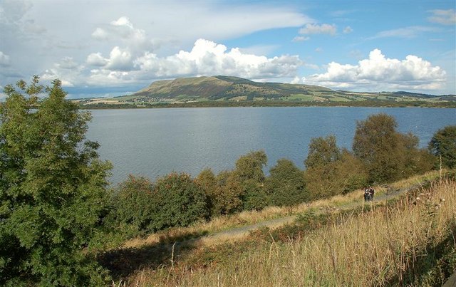
Lomond Hills
The Lomond Hills (meaning either beacon hills or bare hills), also known outside the locality as the Paps of Fife, are a range of hills in central Scotland...

Glenwood High School, Glenrothes
Glenwood High School is a comprehensive, co-educational and non-denominational school serving the western part of the town of Glenrothes, Fife, Scotland...
Nearby Amenities
Located within 500m of 56.202591,-3.2656381Have you been to Kate Kelty Plantation?
Leave your review of Kate Kelty Plantation below (or comments, questions and feedback).