Frog End
Settlement in Cambridgeshire South Cambridgeshire
England
Frog End
Frog End is a small village located in Cambridgeshire, England. Situated approximately five miles southwest of Cambridge, it is nestled in the picturesque countryside of the county. With a population of around 500 residents, Frog End offers a peaceful and idyllic setting for its inhabitants.
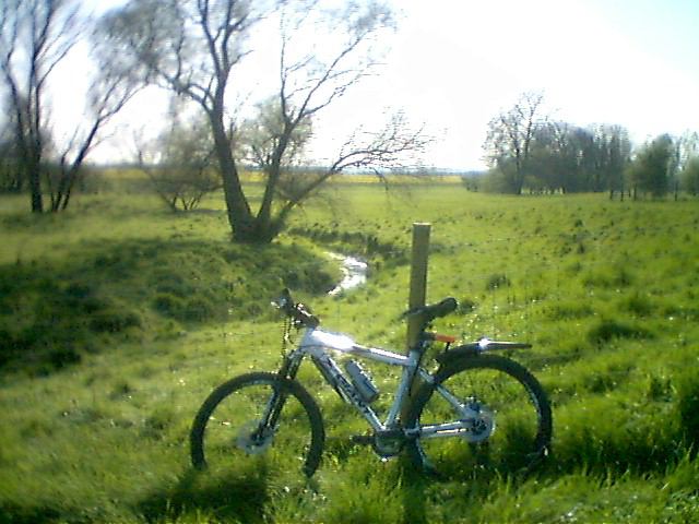
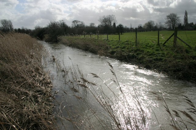
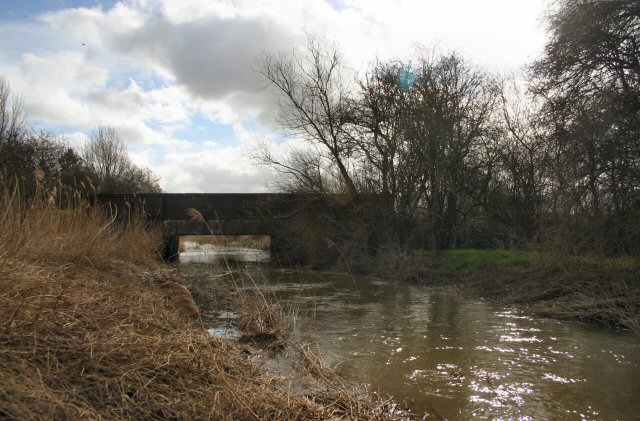
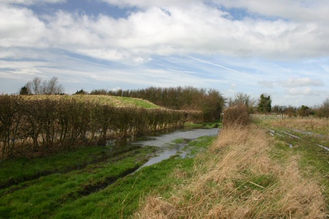
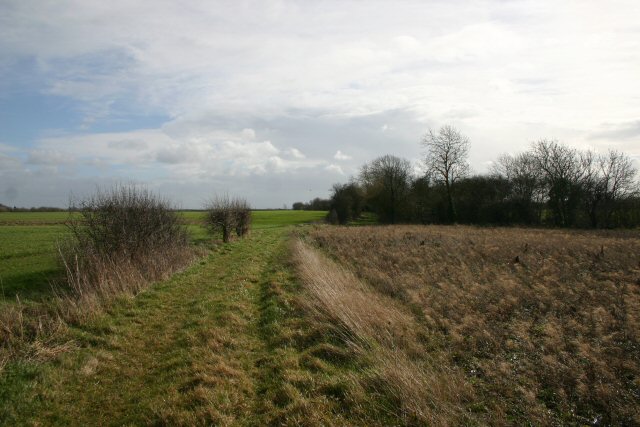
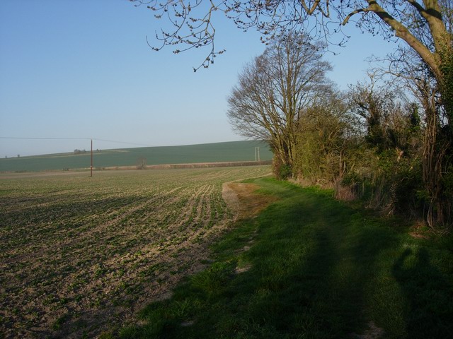
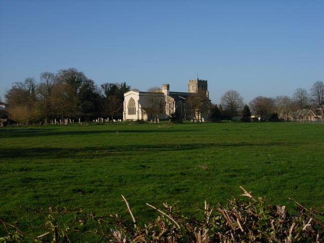
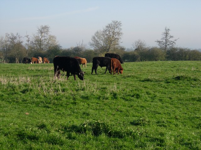
The village is characterized by its charming thatched-roof cottages and traditional English architecture, which contribute to its quaint and timeless feel. Surrounded by rolling green fields and meadows, Frog End is known for its stunning countryside views and ample opportunities for outdoor activities.
Despite its small size, Frog End boasts a strong sense of community, with active local organizations and events that foster a close-knit atmosphere. The village pub serves as a popular gathering spot, where residents can enjoy a drink and socialize with neighbors.
Frog End benefits from its proximity to Cambridge, which provides access to a wide range of amenities and services. Residents can easily commute to the city for work or leisure activities, while still enjoying the tranquility of village life.
The village is also conveniently located near major transportation routes, including the A603 and A428, making it well-connected to surrounding areas. This accessibility allows residents to easily explore the wider Cambridgeshire region and beyond.
In summary, Frog End is a charming and picturesque village in Cambridgeshire, offering a peaceful rural lifestyle while still benefiting from its proximity to the nearby city of Cambridge.
If you have any feedback on the listing, please let us know in the comments section below.
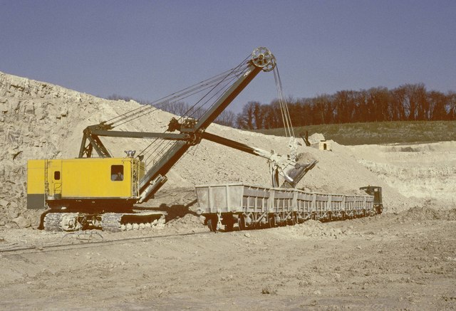
Frog End Images
Images are sourced within 2km of 52.156479/0.051695 or Grid Reference TL4052. Thanks to Geograph Open Source API. All images are credited.


Frog End is located at Grid Ref: TL4052 (Lat: 52.156479, Lng: 0.051695)
Administrative County: Cambridgeshire
District: South Cambridgeshire
Police Authority: Cambridgeshire
What 3 Words
///mild.slick.bookmark. Near Haslingfield, Cambridgeshire
Nearby Locations
Related Wikis
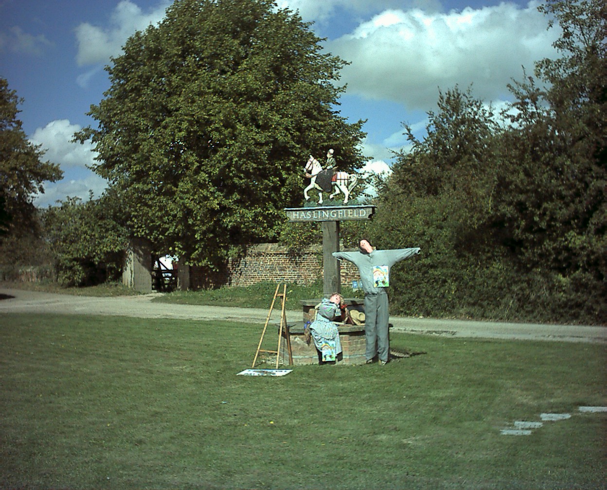
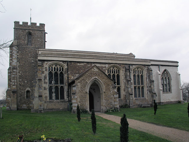
Haslingfield
Haslingfield is a village and civil parish in South Cambridgeshire, England. The village is about six miles south-west of Cambridge, between Harston, Barton...

Eversden and Wimpole Woods
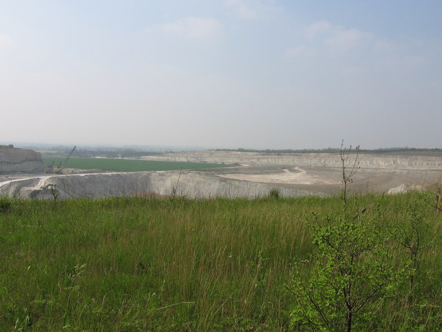
Eversden and Wimpole Woods is a 67.1-hectare (166-acre) biological Site of Special Scientific Interest between Kingston and Orwell in Cambridgeshire. The...

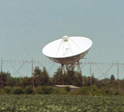
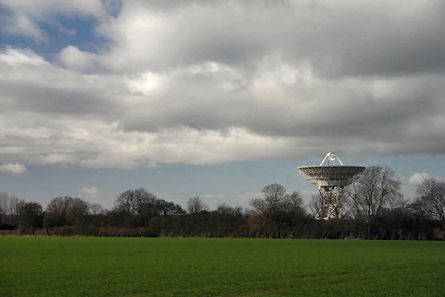
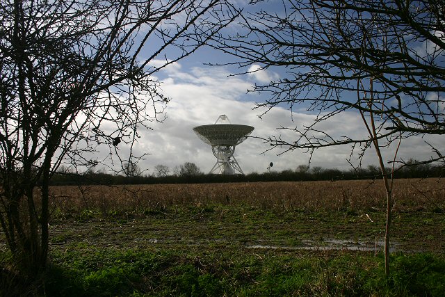
Cambridge Optical Aperture Synthesis Telescope
COAST, the Cambridge Optical Aperture Synthesis Telescope, is a multi-element optical astronomical interferometer with baselines of up to 100 metres, which...

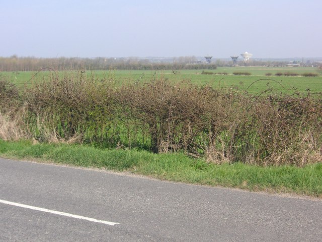
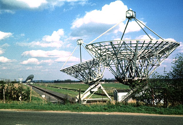
One-Mile Telescope
The One-Mile Telescope at the Mullard Radio Astronomy Observatory (MRAO), Cambridge, UK is an array of radio telescopes (two fixed and one moveable, fully...
Half-Mile Telescope
The Half-Mile Telescope was constructed in 1968 (2 aerials) at the Mullard Radio Astronomy Observatory with two more aerials being added in 1972, using...

Interplanetary Scintillation Array
The Interplanetary Scintillation Array (also known as the IPS Array or Pulsar Array) is a radio telescope that was built in 1967 at the Mullard Radio Astronomy...
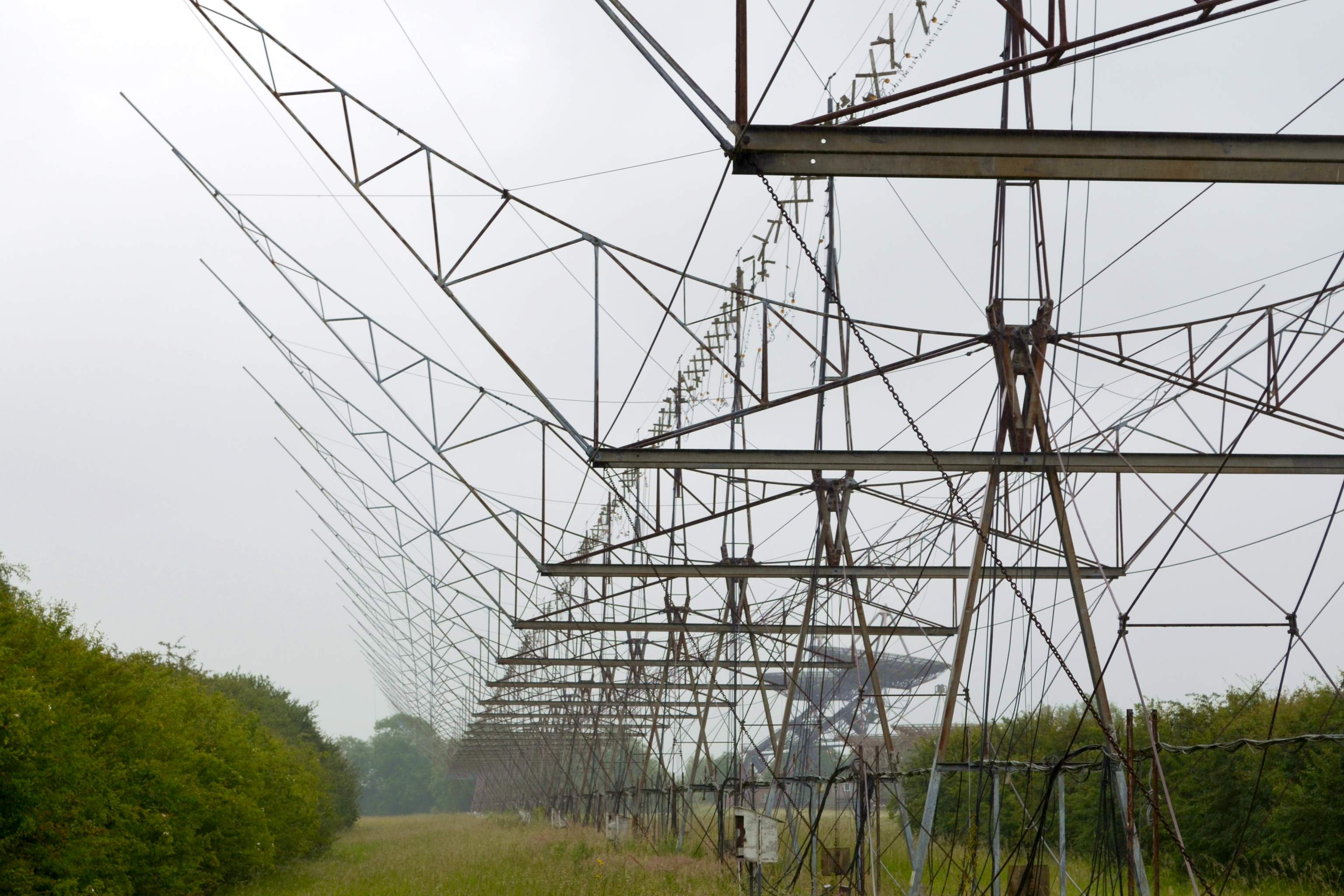
4C Array
The 4C Array is a cylindrical paraboloid radio telescope at the Mullard Radio Astronomy Observatory, near Cambridge, England. It is similar in design to...

Arcminute Microkelvin Imager
The Arcminute Microkelvin Imager (AMI) consists of a pair of interferometric radio telescopes - the Small and Large Arrays - located at the Mullard Radio...
Nearby Amenities
Located within 500m of 52.156479,0.051695Have you been to Frog End?
Leave your review of Frog End below (or comments, questions and feedback).