Great House
Heritage Site in Cambridgeshire South Cambridgeshire
England
Great House
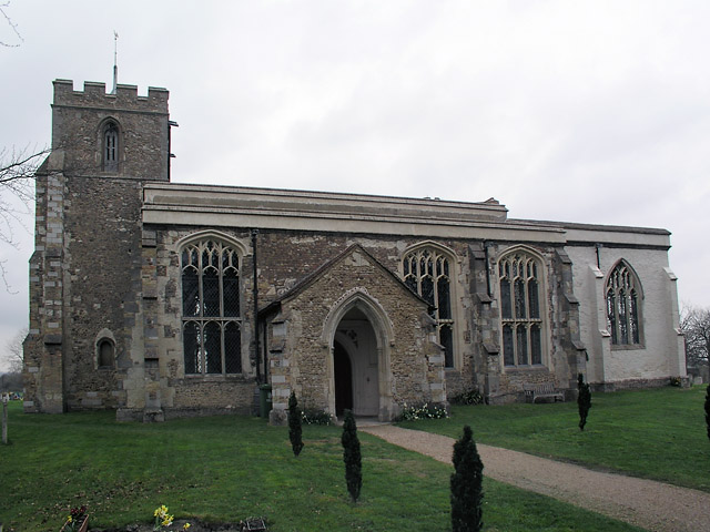
Great House, Cambridgeshire is a historic heritage site located in the charming village of Great Shelford, approximately 5 miles south of Cambridge, England. The house, also known as The Manor, dates back to the 16th century and is a prime example of Tudor architecture.
Built with red brick and timber framing, Great House boasts an impressive three-story structure with a steeply pitched roof. The building showcases intricate detailing, such as decorative bargeboards, mullion windows, and a stunning chimney stack. These features make it a significant architectural gem from the Elizabethan era.
The interior of Great House is equally remarkable. Visitors can explore the grand hall, adorned with oak paneling and a magnificent fireplace, which serves as a focal point. The house also includes a drawing room, a library, and several bedrooms, each showcasing period furnishings and artwork.
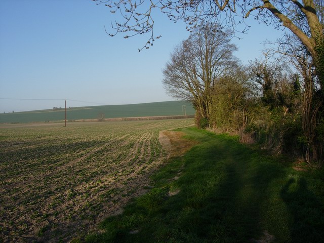
Surrounding the house is a beautiful garden, which adds to the overall charm of the site. The garden features well-manicured lawns, vibrant flower beds, and mature trees. It provides a peaceful and picturesque setting for visitors to relax and enjoy the historic atmosphere.
Great House is open to the public, offering guided tours that provide insight into the history and architecture of the property. It is a popular destination for history enthusiasts, architecture aficionados, and those seeking a glimpse into the past. The site also occasionally hosts events, such as open-air concerts and exhibitions, adding to its appeal as a cultural hub in the region.
If you have any feedback on the listing, please let us know in the comments section below.
Great House Images
Images are sourced within 2km of 52.152/0.053 or Grid Reference TL4052. Thanks to Geograph Open Source API. All images are credited.


Great House is located at Grid Ref: TL4052 (Lat: 52.152, Lng: 0.053)
Administrative County: Cambridgeshire
District: South Cambridgeshire
Police Authority: Cambridgeshire
What 3 Words
///sweated.certainly.roadshow. Near Haslingfield, Cambridgeshire
Nearby Locations
Related Wikis
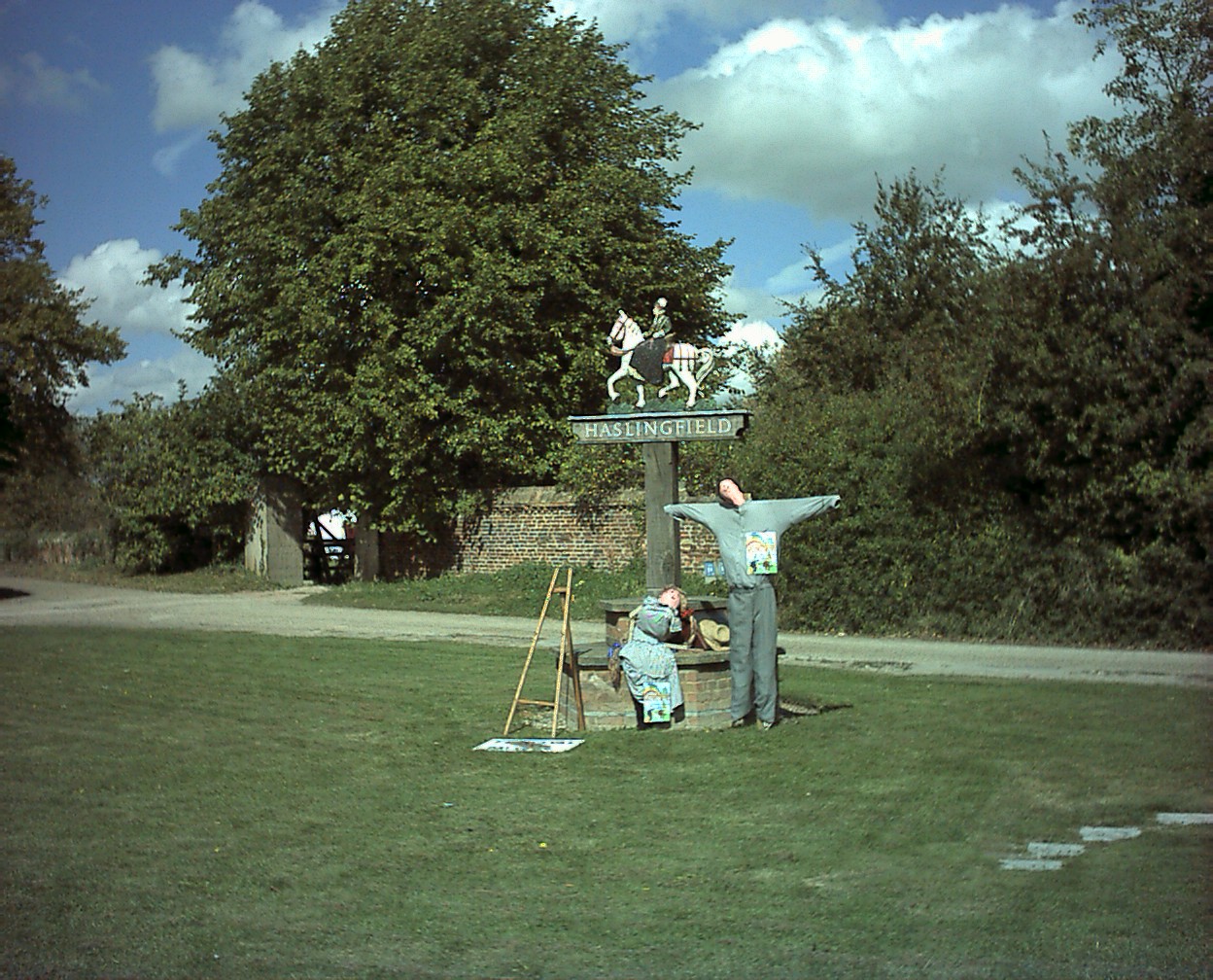
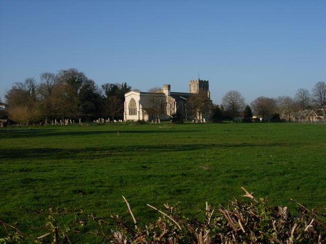
Haslingfield
Haslingfield is a village and civil parish in South Cambridgeshire, England. The village is about six miles south-west of Cambridge, between Harston, Barton...

Eversden and Wimpole Woods
Eversden and Wimpole Woods is a 67.1-hectare (166-acre) biological Site of Special Scientific Interest between Kingston and Orwell in Cambridgeshire. The...

Cambridge Optical Aperture Synthesis Telescope
COAST, the Cambridge Optical Aperture Synthesis Telescope, is a multi-element optical astronomical interferometer with baselines of up to 100 metres, which...

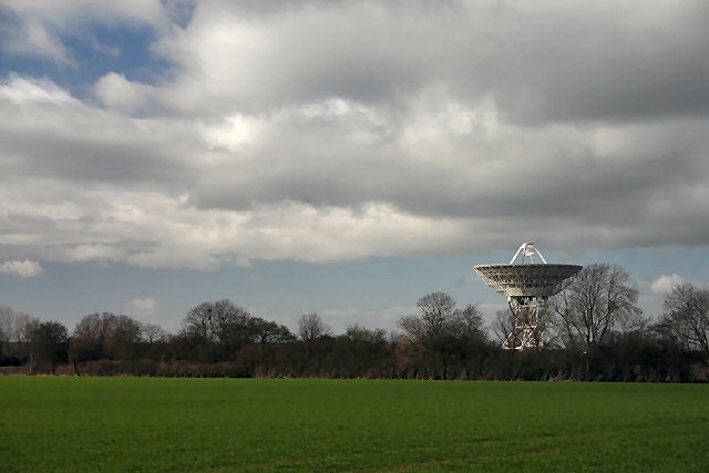
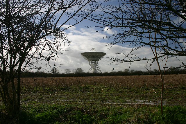
One-Mile Telescope
The One-Mile Telescope at the Mullard Radio Astronomy Observatory (MRAO), Cambridge, UK is an array of radio telescopes (two fixed and one moveable, fully...

Harlton
Harlton is a village and civil parish in Cambridgeshire in the United Kingdom. The village is 5 miles (8.0 km) south-west of Cambridge and neighbours Haslingfield...

Barrington Chalk Pit
Barrington Chalk Pit is a 97.1-hectare (240-acre) geological Site of Special Scientific Interest near Barrington in Cambridgeshire. It is a Geological...
Half-Mile Telescope
The Half-Mile Telescope was constructed in 1968 (2 aerials) at the Mullard Radio Astronomy Observatory with two more aerials being added in 1972, using...

Interplanetary Scintillation Array
The Interplanetary Scintillation Array (also known as the IPS Array or Pulsar Array) is a radio telescope that was built in 1967 at the Mullard Radio Astronomy...
Nearby Amenities
Located within 500m of 52.152,0.053Have you been to Great House?
Leave your review of Great House below (or comments, questions and feedback).