Alder Carr

Wood, Forest in Norfolk North Norfolk

England

Alder Carr

Meadowsweet The lovely summer smell of Meadowsweet on the banks of the newly restored Dilham Canal at Ebridge.
Meadowsweet Credit: John Wernham

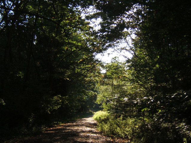
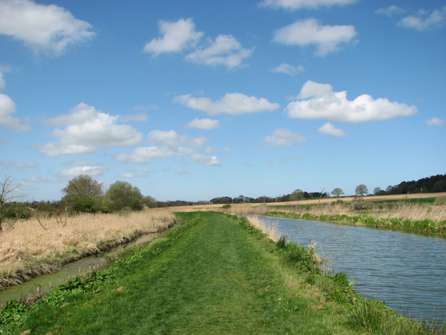
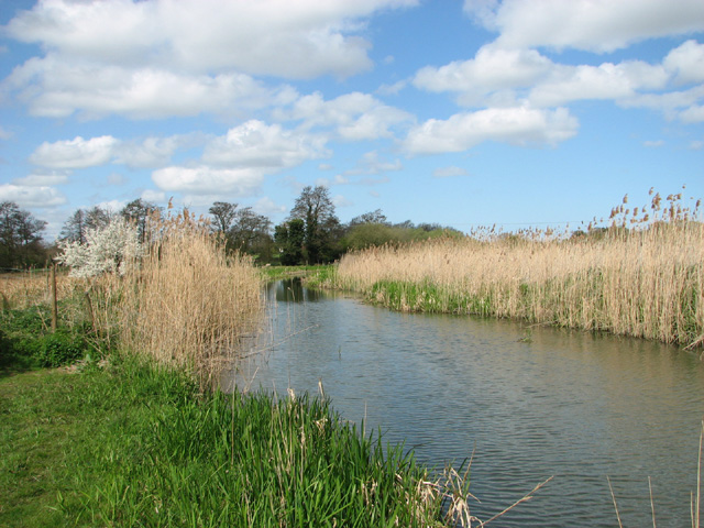
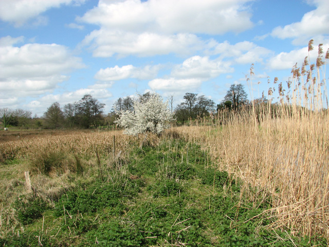
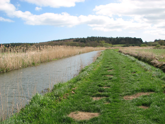
Alder Carr, located in Norfolk, England, is a stunning woodland area known for its dense growth of alder trees. Spanning across several hectares, this forested landscape offers a diverse and rich habitat for various plant and animal species. The area is characterized by its wetland environment, with numerous streams and ponds meandering through the woodlands.

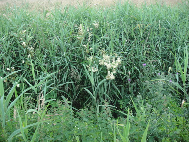
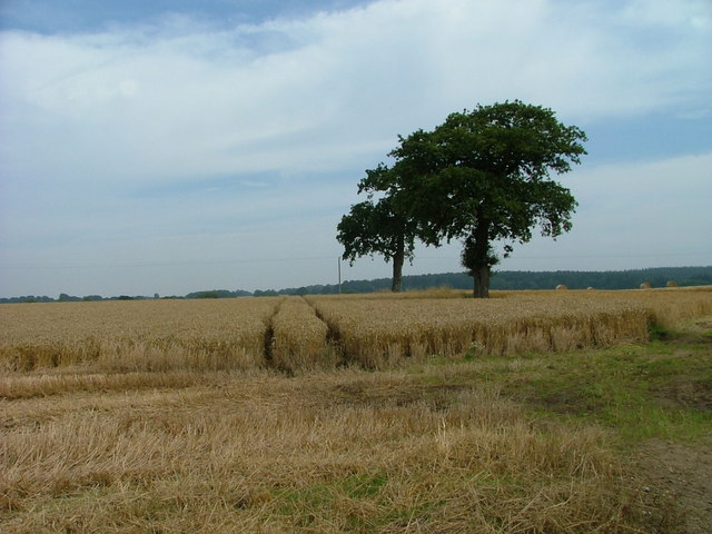
The alder trees, for which the area is named, dominate the landscape and provide a unique ecosystem. These deciduous trees, with their distinctive dark bark and elliptical leaves, thrive in the damp and marshy conditions of Alder Carr. They create a dense canopy that filters sunlight, creating a cool and shaded environment beneath.

The forest floor of Alder Carr is covered with an array of vegetation, including ferns, mosses, and wildflowers. The moist conditions allow for the growth of vibrant and diverse plant life, providing a haven for a variety of wildlife. The woodland is home to numerous bird species, including warblers, woodpeckers, and owls, which find shelter and nesting sites within the dense foliage.

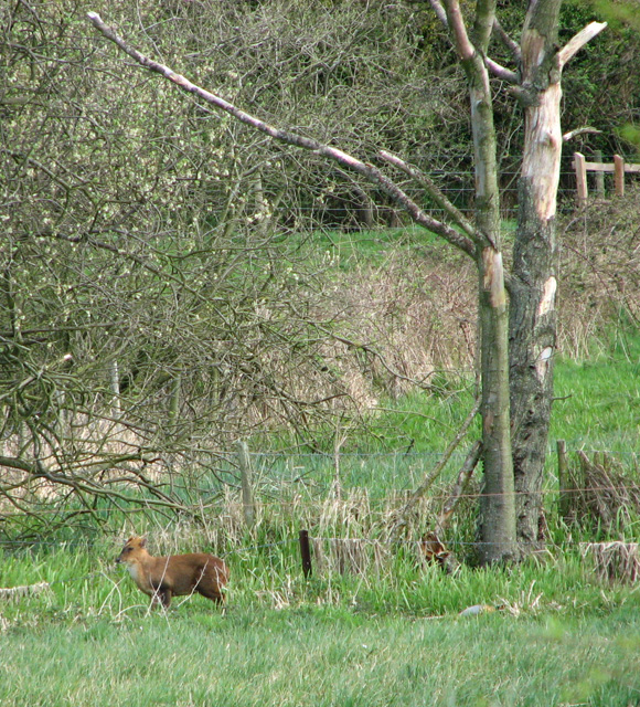
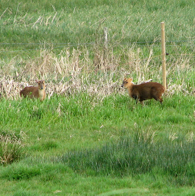
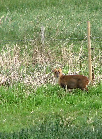
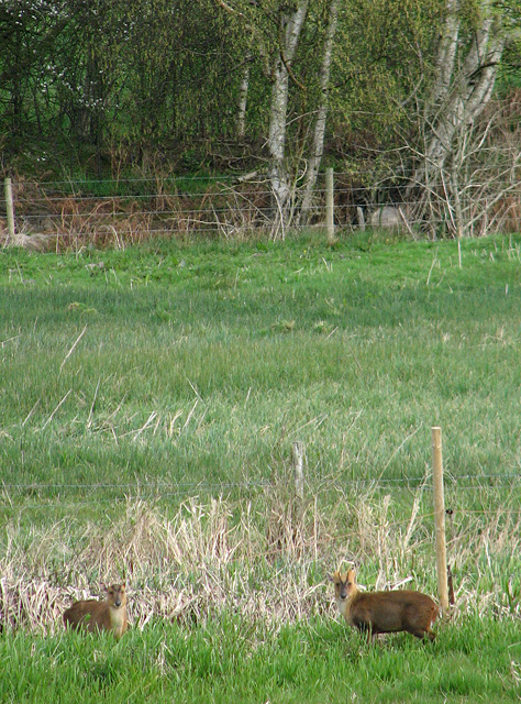
Alder Carr also supports a rich diversity of fauna. Mammals such as deer, foxes, and badgers can be spotted roaming the forest, while the waterways attract amphibians and reptiles like frogs, toads, and snakes. The forest's wetland environment provides an ideal habitat for a wide range of insects, butterflies, and dragonflies.

Alder Carr, with its lush greenery and tranquil atmosphere, offers visitors the opportunity to explore and immerse themselves in a natural oasis. Whether it be for leisurely walks, bird-watching, or simply enjoying the serenity of nature, Alder Carr is a haven for those seeking solace in the beauty of the Norfolk woodlands.

If you have any feedback on the listing, please let us know in the comments section below.
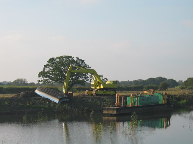
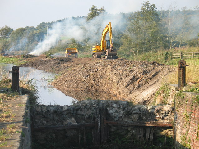
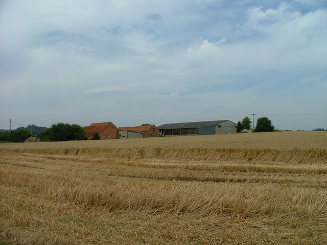
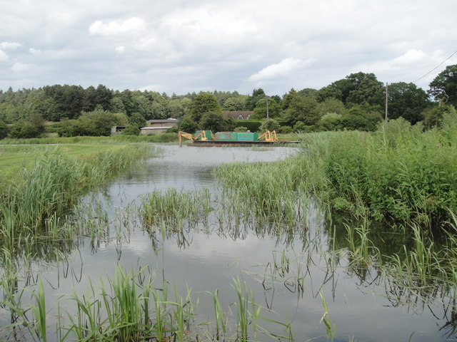
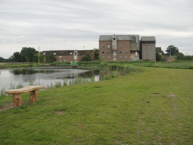
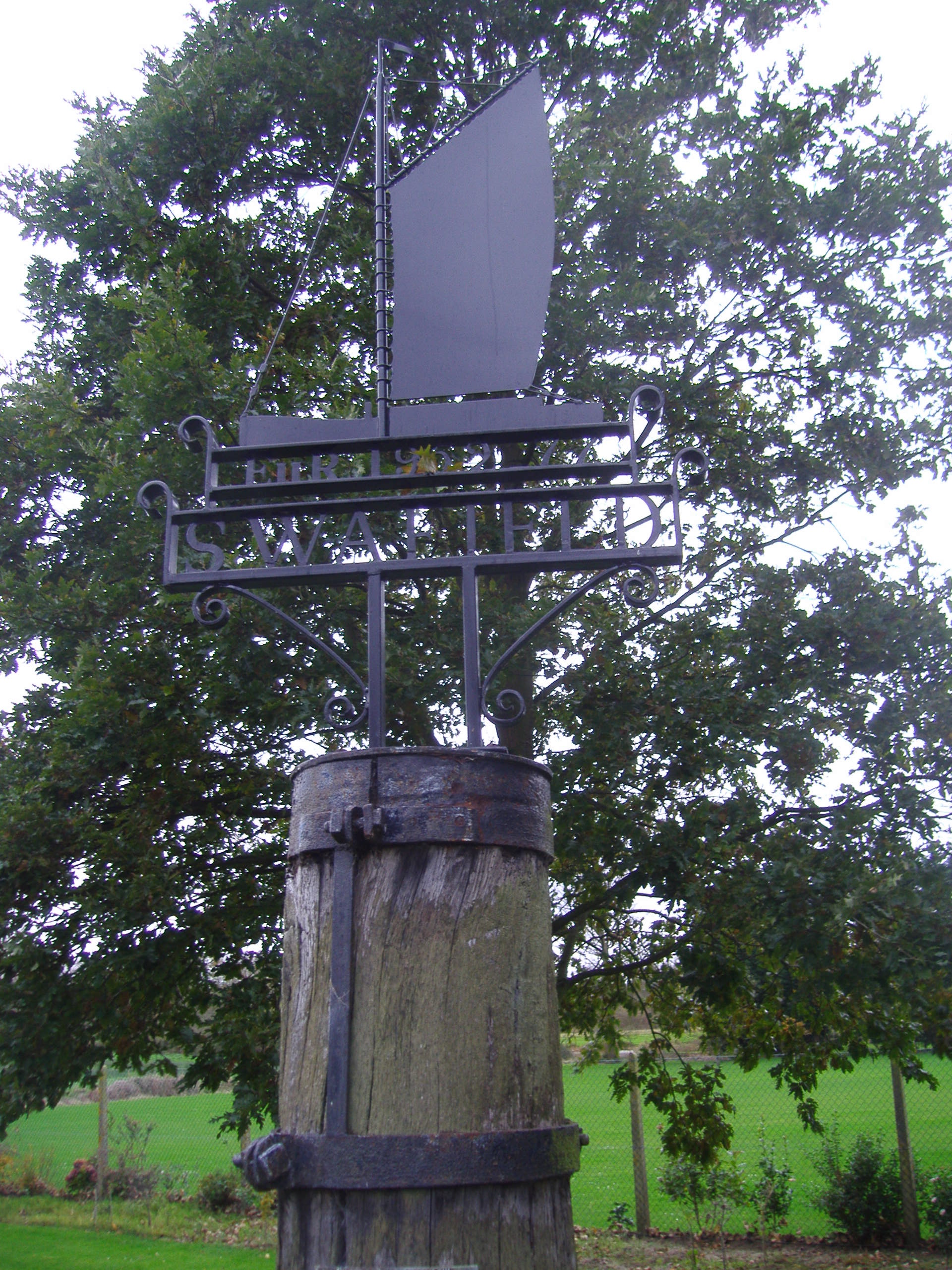
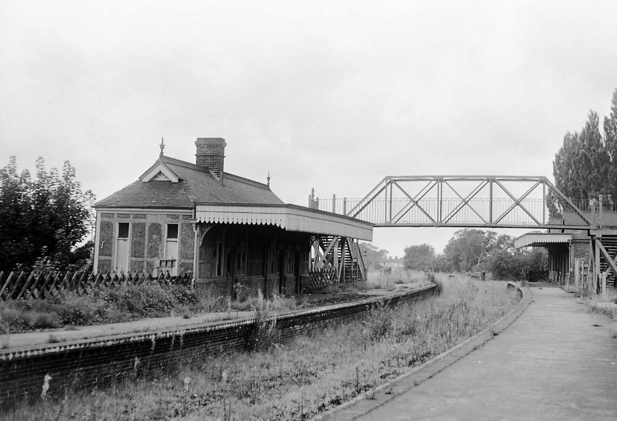
Alder Carr Images

Images are sourced within 2km of 52.826646/1.4079014 or Grid Reference TG2930. Thanks to Geograph Open Source API. All images are credited.

Meadowsweet The lovely summer smell of Meadowsweet on the banks of the newly restored Dilham Canal at Ebridge.
Meadowsweet
The lovely summer smell of Meadowsweet on the banks of the newly restored Dilham Canal at Ebridge.
Track through Bacton Wood Heading southwest from the picnic and car parking site.
Track through Bacton Wood
Heading southwest from the picnic and car parking site.
Muntjac deer in pasture beside the Dilham Canal Reeves's Muntjac (Muntiacus reevesi) were introduced to England around 1925 when some escaped from Woburn Park, joined sometime later by escapees from Whipsnade Zoo. They have expanded rapidly and can now be found in most English counties south of the M62 and also in Wales. The British Deer Society believes that muntjac may soon become the most numerous species of deer in England. Muntjac are the oldest known deer, appearing 15-35 million years ago.
Muntjac deer in pasture beside the Dilham Canal
Reeves's Muntjac (Muntiacus reevesi) were introduced to England around 1925 when some escaped from Woburn Park, joined sometime later by escapees from Whipsnade Zoo. They have expanded rapidly and can now be found in most English counties south of the M62 and also in Wales. The British Deer Society believes that muntjac may soon become the most numerous species of deer in England. Muntjac are the oldest known deer, appearing 15-35 million years ago.
Reeves's Muntjac (Muntiacus reevesi) Muntjacs were introduced to England around 1925 when some escaped from Woburn Park, joined sometime later by escapees from Whipsnade Zoo. They have expanded rapidly and can now be found in most English counties south of the M62 and also in Wales. The British Deer Society believes that muntjac may soon become the most numerous species of deer in England. Muntjac are the oldest known deer, appearing 15-35 million years ago.  This pair was foraging in a pasture beside the Dilham Canal.
Reeves's Muntjac (Muntiacus reevesi)
Muntjacs were introduced to England around 1925 when some escaped from Woburn Park, joined sometime later by escapees from Whipsnade Zoo. They have expanded rapidly and can now be found in most English counties south of the M62 and also in Wales. The British Deer Society believes that muntjac may soon become the most numerous species of deer in England. Muntjac are the oldest known deer, appearing 15-35 million years ago. This pair was foraging in a pasture beside the Dilham Canal.
Reeves's Muntjac (Muntiacus reevesi) Foraging in a pasture beside the Dilham Canal. For a wider view see > <a title="https://www.geograph.org.uk/photo/3929350" href="https://www.geograph.org.uk/photo/3929350">Link</a>.

Muntjacs were introduced to England around 1925 when some escaped from Woburn Park, joined sometime later by escapees from Whipsnade Zoo. They have expanded rapidly and can now be found in most English counties south of the M62 and also in Wales. The British Deer Society believes that muntjac may soon become the most numerous species of deer in England. Muntjac are the oldest known deer, appearing 15-35 million years ago.
Reeves's Muntjac (Muntiacus reevesi)
Foraging in a pasture beside the Dilham Canal. For a wider view see > Link. Muntjacs were introduced to England around 1925 when some escaped from Woburn Park, joined sometime later by escapees from Whipsnade Zoo. They have expanded rapidly and can now be found in most English counties south of the M62 and also in Wales. The British Deer Society believes that muntjac may soon become the most numerous species of deer in England. Muntjac are the oldest known deer, appearing 15-35 million years ago.
Muntjacs beside the Dilham Canal Muntjacs were introduced to England around 1925 when some escaped from Woburn Park, joined sometime later by escapees from Whipsnade Zoo. They have expanded rapidly and can now be found in most English counties south of the M62 and also in Wales. The British Deer Society believes that muntjac may soon become the most numerous species of deer in England. Muntjac are the oldest known deer, appearing 15-35 million years ago.
Muntjacs beside the Dilham Canal
Muntjacs were introduced to England around 1925 when some escaped from Woburn Park, joined sometime later by escapees from Whipsnade Zoo. They have expanded rapidly and can now be found in most English counties south of the M62 and also in Wales. The British Deer Society believes that muntjac may soon become the most numerous species of deer in England. Muntjac are the oldest known deer, appearing 15-35 million years ago.
Towpath along the Dilham Canal Since 2000 the East Anglian Waterways Association has been holding work parties on the canal with the aim of returning the canal to use.  In 2008 they were instrumental in the setting up of the North Walsham & Dilham Canal Trust. Over the past nine years extensive work has been carried out, in conjunction with the then canal owners - the North Walsham Canal Company - from Honing Lock up to Bacton Wood lock > <a title="https://www.geograph.org.uk/photo/2556092" href="https://www.geograph.org.uk/photo/2556092">Link</a>. The canal has been reopened to canoeists up to Honing Staithe Cut, where the 100 yard branch has been cleared and a circular walk established leading off the Weavers' Way long distance path. At all four lock sites the chambers have been cleared of tree growth, and deterioration slowed. At Briggate > <a title="https://www.geograph.org.uk/photo/3917042" href="https://www.geograph.org.uk/photo/3917042">Link</a> extensive work has been undertaken to clear the original millpond, and extensive tree growth is in the process of being removed from the Ebridge-Bacton Wood pound.  For more information go to <span class="nowrap"><a title="http://www.eawa.co.uk/walsham.html" rel="nofollow ugc noopener" href="http://www.eawa.co.uk/walsham.html">Link</a><img style="margin-left:2px;" alt="External link" title="External link - shift click to open in new window" src="https://s1.geograph.org.uk/img/external.png" width="10" height="10"/></span>.
Towpath along the Dilham Canal
Since 2000 the East Anglian Waterways Association has been holding work parties on the canal with the aim of returning the canal to use. In 2008 they were instrumental in the setting up of the North Walsham & Dilham Canal Trust. Over the past nine years extensive work has been carried out, in conjunction with the then canal owners - the North Walsham Canal Company - from Honing Lock up to Bacton Wood lock > Link. The canal has been reopened to canoeists up to Honing Staithe Cut, where the 100 yard branch has been cleared and a circular walk established leading off the Weavers' Way long distance path. At all four lock sites the chambers have been cleared of tree growth, and deterioration slowed. At Briggate > Link extensive work has been undertaken to clear the original millpond, and extensive tree growth is in the process of being removed from the Ebridge-Bacton Wood pound. For more information go to LinkExternal link.
Reeds beside the Dilham Canal Since 2000 the East Anglian Waterways Association has been holding work parties on the canal with the aim of returning the canal to use.  In 2008 they were instrumental in the setting up of the North Walsham & Dilham Canal Trust. Over the past nine years extensive work has been carried out, in conjunction with the then canal owners - the North Walsham Canal Company - from Honing Lock up to Bacton Wood lock > <a title="https://www.geograph.org.uk/photo/2556092" href="https://www.geograph.org.uk/photo/2556092">Link</a>. The canal has been reopened to canoeists up to Honing Staithe Cut, where the 100 yard branch has been cleared and a circular walk established leading off the Weavers' Way long distance path. At all four lock sites the chambers have been cleared of tree growth, and deterioration slowed. At Briggate > <a title="https://www.geograph.org.uk/photo/3917042" href="https://www.geograph.org.uk/photo/3917042">Link</a> extensive work has been undertaken to clear the original millpond, and extensive tree growth is in the process of being removed from the Ebridge-Bacton Wood pound.  For more information go to <span class="nowrap"><a title="http://www.eawa.co.uk/walsham.html" rel="nofollow ugc noopener" href="http://www.eawa.co.uk/walsham.html">Link</a><img style="margin-left:2px;" alt="External link" title="External link - shift click to open in new window" src="https://s1.geograph.org.uk/img/external.png" width="10" height="10"/></span>.
Reeds beside the Dilham Canal
Since 2000 the East Anglian Waterways Association has been holding work parties on the canal with the aim of returning the canal to use. In 2008 they were instrumental in the setting up of the North Walsham & Dilham Canal Trust. Over the past nine years extensive work has been carried out, in conjunction with the then canal owners - the North Walsham Canal Company - from Honing Lock up to Bacton Wood lock > Link. The canal has been reopened to canoeists up to Honing Staithe Cut, where the 100 yard branch has been cleared and a circular walk established leading off the Weavers' Way long distance path. At all four lock sites the chambers have been cleared of tree growth, and deterioration slowed. At Briggate > Link extensive work has been undertaken to clear the original millpond, and extensive tree growth is in the process of being removed from the Ebridge-Bacton Wood pound. For more information go to LinkExternal link.
Pasture beside the Dilham Canal This section of the canal and towpath have as yet to be restored.
Pasture beside the Dilham Canal
This section of the canal and towpath have as yet to be restored.
Path along the Dilham Canal
Edingthorpe village sign In a semicircular top to the sign is what appears to be a Gallas plough which is featured on the Northrepps sign. In the main illustration the church is pictured with its round tower and octagonal belfry. In the foreground is a team of horses seemingly ploughing the churchyard. <a title="https://www.geograph.org.uk/photo/6674199" href="https://www.geograph.org.uk/photo/6674199">Link</a>
Edingthorpe village sign
In a semicircular top to the sign is what appears to be a Gallas plough which is featured on the Northrepps sign. In the main illustration the church is pictured with its round tower and octagonal belfry. In the foreground is a team of horses seemingly ploughing the churchyard. Link
Edingthorpe WW2 memorial in the wall of Green Farm Why this memorial is here I could not ascertain but it would seem that a disagreement with the church was likely as at Langham in Norfolk. The Memorial bears four names: R. Beverley OLIVER, John G. HEDGE, John NEAL and Cecil  H. SCOTT.
The names are repeated in the church on the WW2 Roll of Honour.
Edingthorpe WW2 memorial in the wall of Green Farm
Why this memorial is here I could not ascertain but it would seem that a disagreement with the church was likely as at Langham in Norfolk. The Memorial bears four names: R. Beverley OLIVER, John G. HEDGE, John NEAL and Cecil H. SCOTT. The names are repeated in the church on the WW2 Roll of Honour.
Ebridge Mill Pond  on the North Walsham-Dilham Canal, Norfolk Restoration work on the mill pond. Interesting to note that some parish boundaries map the original river course prior to the canal being constructed.
Ebridge Mill Pond on the North Walsham-Dilham Canal, Norfolk
Restoration work on the mill pond. Interesting to note that some parish boundaries map the original river course prior to the canal being constructed.
Disused Lock at Ebridge Mill, North Walsham - Dilham Canal, North Walsham, Norfolk. Restoration work on Norfolk's only canal. This location is the same as another entry <a title="https://www.geograph.org.uk/photo/469292" href="https://www.geograph.org.uk/photo/469292">Link</a> but the view in the same direction has changed a lot.
Disused Lock at Ebridge Mill, North Walsham - Dilham Canal, North Walsham, Norfolk.
Restoration work on Norfolk's only canal. This location is the same as another entry Link but the view in the same direction has changed a lot.
Crickmore Farm Viewed from Happisburgh Road
Crickmore Farm
Viewed from Happisburgh Road
Two trees in a field At Crickmore Farm.
Two trees in a field
At Crickmore Farm.
Ebridge Mill Pond The restored mill pond, with the 'Old Canal Company's' dredger 'Weasel' in the background.
Ebridge Mill Pond
The restored mill pond, with the 'Old Canal Company's' dredger 'Weasel' in the background.
Ebridge Mill The old Mill taken from the newly restored canal bank.This part of the Dilham Canal has been restored by `The Old Canal Company`and its many hard working volunteers.
Ebridge Mill
The old Mill taken from the newly restored canal bank.This part of the Dilham Canal has been restored by `The Old Canal Company`and its many hard working volunteers.
Show me another place!

Alder Carr is located at Grid Ref: TG2930 (Lat: 52.826646, Lng: 1.4079014)

Administrative County: Norfolk

District: North Norfolk

Police Authority: Norfolk

What 3 Words

///rankings.vibes.mows. Near North Walsham, Norfolk

Nearby Locations

Alder Carr Spa Common

Related Wikis

Nearby Amenities

Located within 500m of 52.826646,1.4079014
Material: wood
Power: pole
Lat/Long: 52.8238309/1.4128616
Communication Mobile Phone: yes
Man Made: mast
Material: metal
Operator: O2-UK;Vodafone UK
Tower Construction: lattice
Tower Type: communication
Lat/Long: 52.8261068/1.4059597
The data included in this document is from www.openstreetmap.org. The data is made available under ODbL.

Have you been to Alder Carr?

Leave your review of Alder Carr below (or comments, questions and feedback).