Sandra's Wood

Wood, Forest in Suffolk East Suffolk

England

Sandra's Wood

Field south of Old Hall
Field south of Old Hall Credit: Christopher Hilton

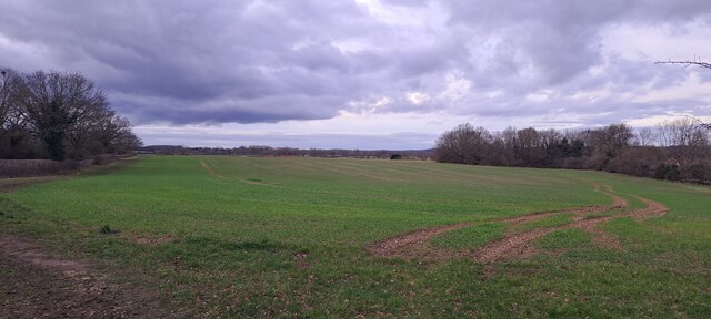
Sandra's Wood is a picturesque forest located in Suffolk, England. Covering an area of approximately 50 hectares, it is a popular destination for nature lovers and outdoor enthusiasts alike. The wood is situated in a rural setting, surrounded by rolling hills and scenic countryside, providing visitors with a tranquil and peaceful atmosphere.

The woodland is predominantly composed of native tree species, including oak, beech, and birch, which create a diverse and vibrant ecosystem. This rich biodiversity supports a wide array of flora and fauna, making it an ideal habitat for many species of birds, mammals, and insects. Birdwatchers can expect to spot various species such as woodpeckers, owls, and warblers, while nature enthusiasts may stumble upon deer, squirrels, and rabbits during their walks.

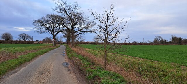
Sandra's Wood offers a network of well-maintained walking trails, allowing visitors to explore the forest and discover its hidden treasures. The paths wind through dense foliage and open clearings, offering stunning views of the surrounding landscape. There are also designated picnic areas and benches scattered throughout the wood, providing opportunities for visitors to relax and enjoy the peaceful surroundings.

The forest is open to the public year-round, with no admission fees. However, it is important to note that certain areas may be temporarily closed off for conservation purposes or during adverse weather conditions. The wood is managed by a local conservation organization, ensuring the preservation and protection of the natural environment for future generations to enjoy.

If you have any feedback on the listing, please let us know in the comments section below.

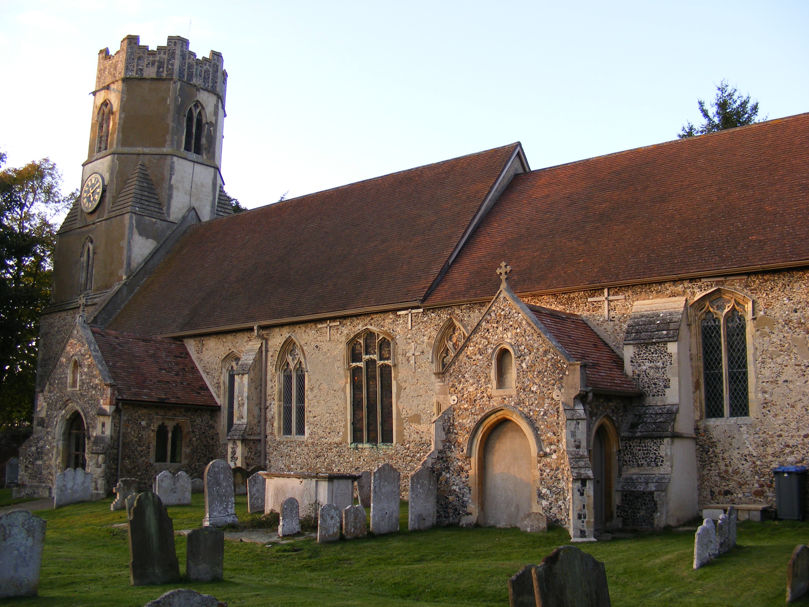
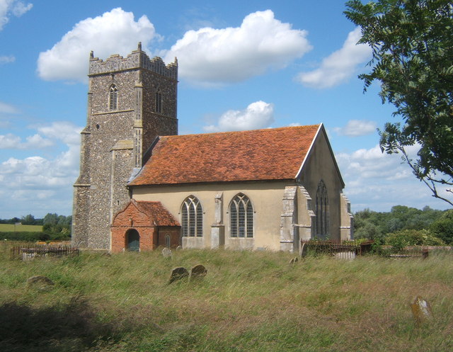
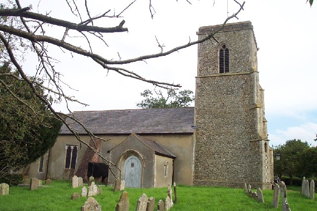
Sandra's Wood Images

Images are sourced within 2km of 52.161968/1.3568033 or Grid Reference TM2956. Thanks to Geograph Open Source API. All images are credited.

Field south of Old Hall
New houses on the edge of Easton Looking north from Hacheston Road.  The houses in the foreground are the historic Lowbarn Cottages and behind is the recent housing development of Skylark Rise.
New houses on the edge of Easton
Looking north from Hacheston Road. The houses in the foreground are the historic Lowbarn Cottages and behind is the recent housing development of Skylark Rise.
View up the Deben valley west of Wickham Market
Dallinghoo Road approaching crossroads
Hacheston Road Captured in March 2023, by Hugo King
Hacheston Road
Captured in March 2023, by Hugo King
Looking across to Letheringham Captured in March 2023, by Hugo King
Looking across to Letheringham
Captured in March 2023, by Hugo King
All Saints' church, Wickham Market Built in C14/C15 and restored in C19.
All Saints' church, Wickham Market
Built in C14/C15 and restored in C19.
High Street, Wickham Market The buildings on the left date from C16 and C17.
High Street, Wickham Market
The buildings on the left date from C16 and C17.
Debden Mill The mill building dates from C19. See <span class="nowrap"><a title="http://www.britishlistedbuildings.co.uk/en-285220-wickham-mill-wickham-market-suffolk#.VpllJfmLTIU" rel="nofollow ugc noopener" href="http://www.britishlistedbuildings.co.uk/en-285220-wickham-mill-wickham-market-suffolk#.VpllJfmLTIU">Link</a><img style="margin-left:2px;" alt="External link" title="External link - shift click to open in new window" src="https://s1.geograph.org.uk/img/external.png" width="10" height="10"/></span> for entry in British Listed Buildings
Debden Mill
The mill building dates from C19. See LinkExternal link for entry in British Listed Buildings
Flush Bracket G 1576 Wickham Market Old School House Flush Bracket OSBM G 1576. E face, SE angle of school.
Flush Bracket G 1576 Wickham Market Old School House
Flush Bracket OSBM G 1576. E face, SE angle of school.
Wickham Market Rogues Lane Wickham Market Rogues Lane
Wickham Market Rogues Lane
Bolt Wickham Market All Saints Church Bolt is located in the SW angle of the Wickham Market All Saints Church spire.
Bolt Wickham Market All Saints Church
Bolt is located in the SW angle of the Wickham Market All Saints Church spire.
Cut Mark Wickham Market No.99 High Street Wickham Market No.99 High Street, Cut Mark W face, SW angle.
Cut Mark Wickham Market No.99 High Street
Wickham Market No.99 High Street, Cut Mark W face, SW angle.
Flush Bracket G 1575 Wickham Market Bridge Farm Flush Bracket number OSBM G 1575, NW angle of Barn.
Flush Bracket G 1575 Wickham Market Bridge Farm
Flush Bracket number OSBM G 1575, NW angle of Barn.
Wickham Market (Hacheston) Milestone MS located on High Street Lower road. Hacheston to London 82 Miles MS.
Wickham Market (Hacheston) Milestone
MS located on High Street Lower road. Hacheston to London 82 Miles MS.
Village Square, Wickham Market Laid out as a car park.
Village Square, Wickham Market
Laid out as a car park.
Village Square, Wickham Market The eastern end of the Square is laid out as a bus stance.
Village Square, Wickham Market
The eastern end of the Square is laid out as a bus stance.
The A12, Wickham Market
Show me another place!

Sandra's Wood is located at Grid Ref: TM2956 (Lat: 52.161968, Lng: 1.3568033)

Administrative County: Suffolk

District: East Suffolk

Police Authority: Suffolk

What 3 Words

///shun.compliant.hers. Near Wickham Market, Suffolk

Nearby Locations

Sandra's Wood

Related Wikis

Deben Mill

Deben Mill is a water mill on the River Deben located on the boundary between the civil parishes of Wickham Market and Hacheston, in Suffolk, England....
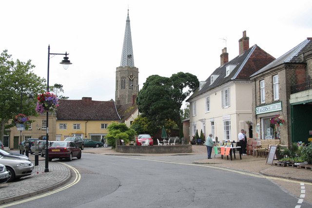
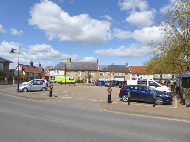
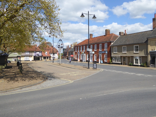
Wickham Market

Wickham Market is a large village and electoral ward in the River Deben valley, Suffolk, England, within the Suffolk Coastal heritage area. It is on the...

Wickham Market Hoard

The Wickham Market Hoard is a hoard of 840 Iron Age gold staters found in a field at Dallinghoo near Wickham Market, Suffolk, England in March 2008 by...
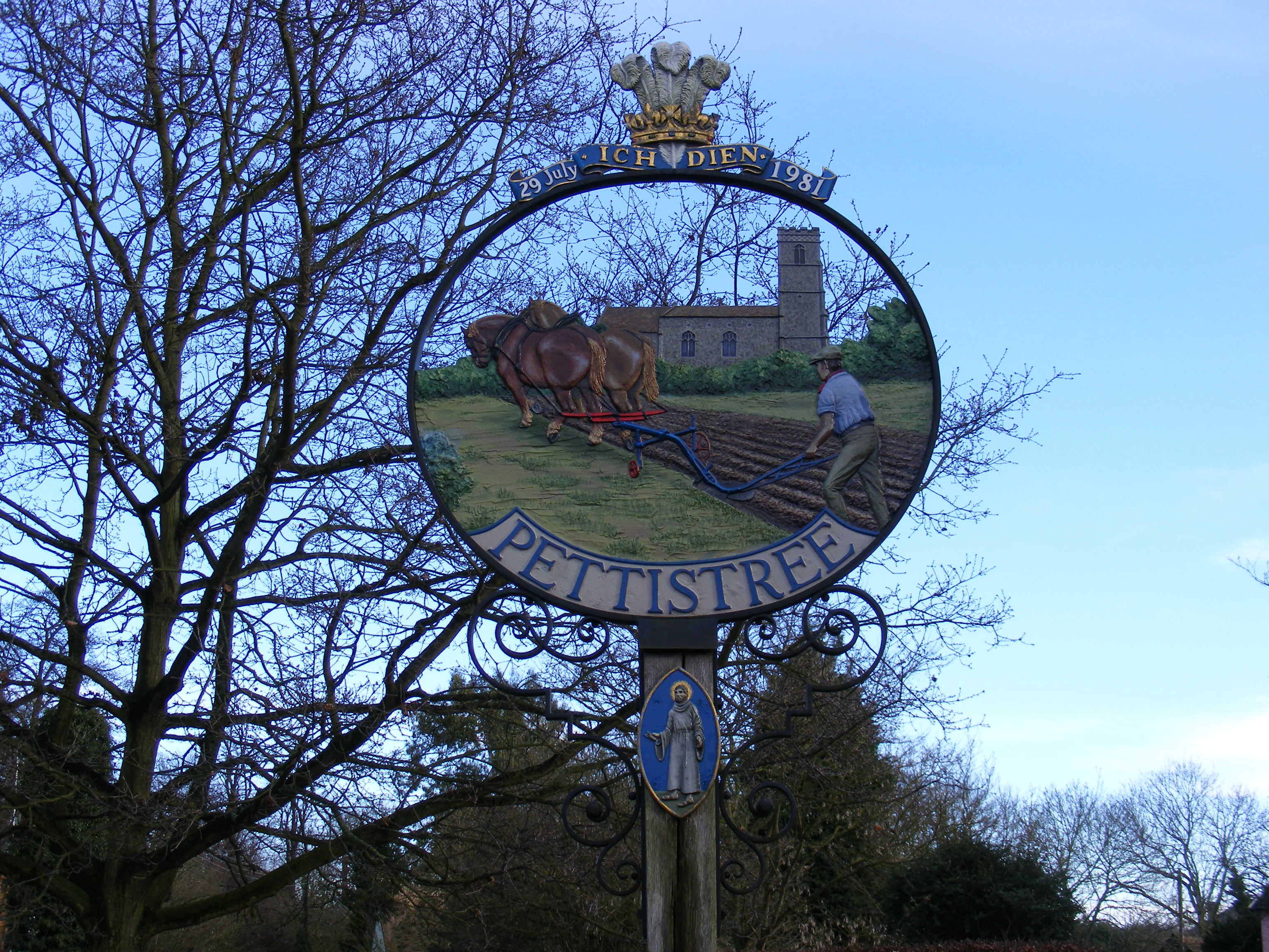
Pettistree

Pettistree is a small village and a civil parish in the East Suffolk district, in the English county of Suffolk. According to the 2011 Census, Pettistree...

Easton, Suffolk

Easton in England is situated on the River Deben around three miles south of Framlingham and is the former estate village of Easton Park, one-time seat...

Letheringham

Letheringham is a sparsely populated civil parish in the East Suffolk district (formerly Deben Rural District and then Suffolk Coastal) in Suffolk, England...

Hacheston

Hacheston is a village and a civil parish in the East Suffolk district, in the English county of Suffolk. The population of the parish at the 2011 census...

Hacheston Halt railway station

Hacheston Halt railway station was a station located in Hacheston, Suffolk situated on the Framlingham Branch.The branch was opened in 1859, but Hacheston...

Nearby Amenities

Located within 500m of 52.161968,1.3568033
Animal Boarding
Pampered Pets Hotel
Addr City: Woodbridge
Addr Housename: Greenacres
Addr Place: Glevering Hacheston
Addr Postcode: IP13 0EX
Website: https://www.pamperedpets.co.uk/
Lat/Long: 52.1628275/1.3604212
Man Made: beehive
Lat/Long: 52.1595096/1.3620998
The data included in this document is from www.openstreetmap.org. The data is made available under ODbL.

Have you been to Sandra's Wood?

Leave your review of Sandra's Wood below (or comments, questions and feedback).