Spa Common
Settlement in Norfolk North Norfolk
England
Spa Common
Spa Common is a charming village located in the county of Norfolk, England. Situated just a few miles west of the market town of North Walsham, Spa Common offers a peaceful and picturesque setting, making it an ideal destination for nature enthusiasts and those seeking a tranquil retreat.
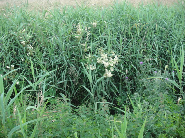
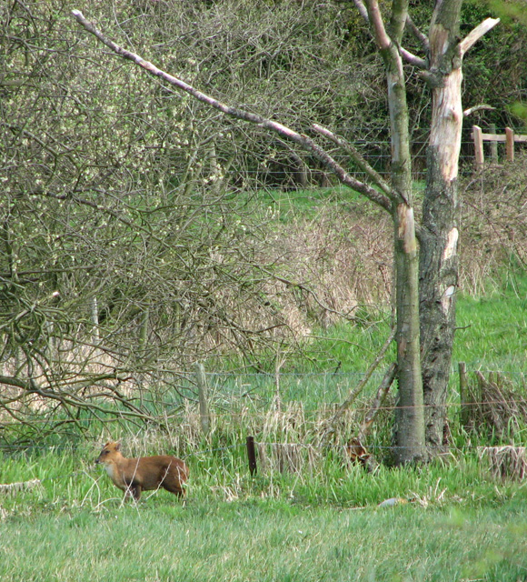
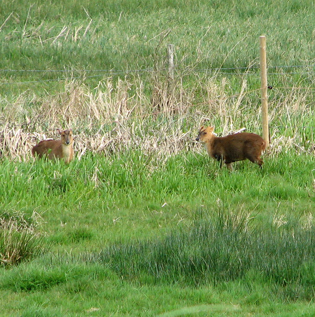
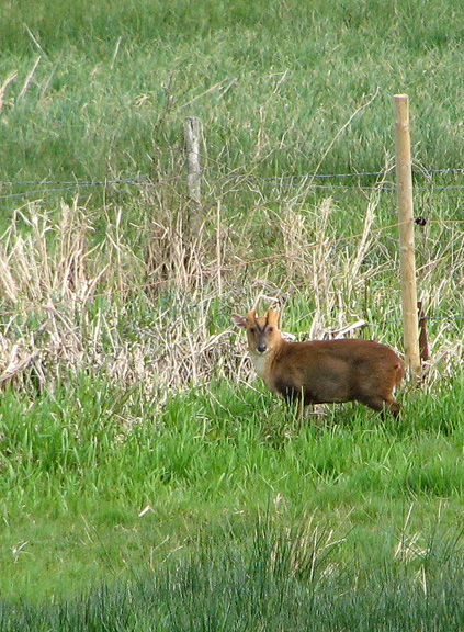
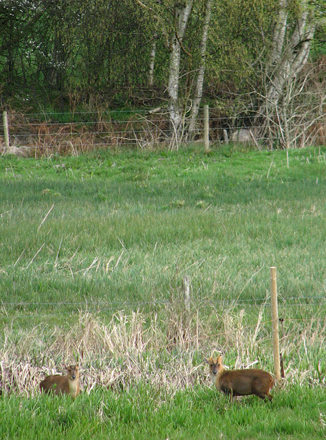
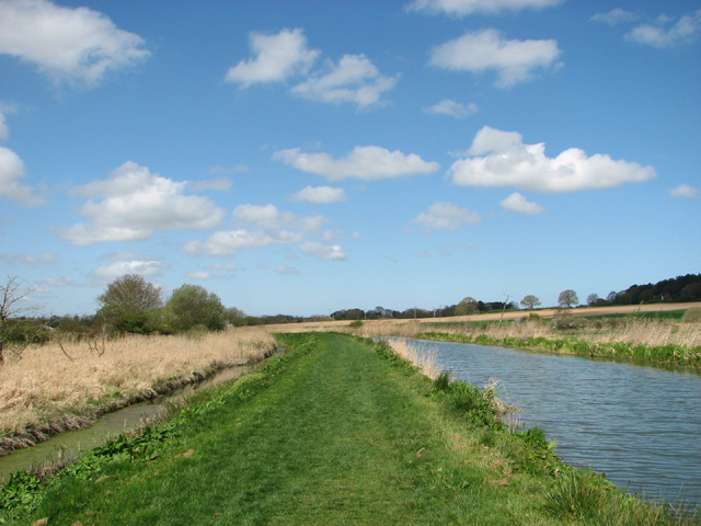
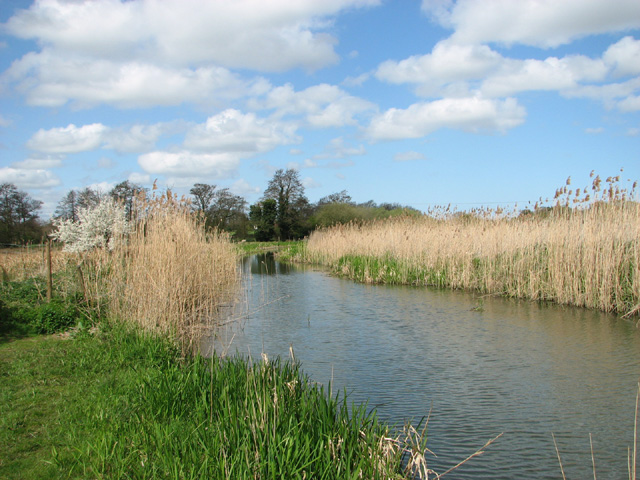
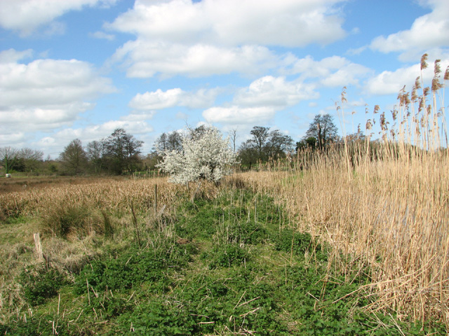
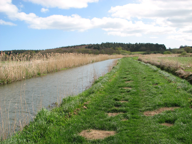
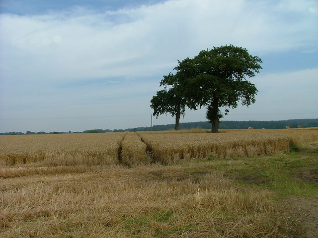
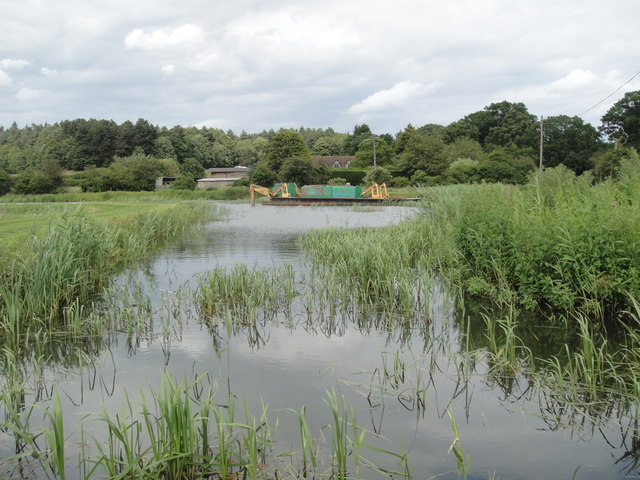
The village is renowned for its beautiful natural surroundings, with vast expanses of rolling green fields, meandering streams, and enchanting woodlands. Visitors can explore the area through a network of well-maintained footpaths and enjoy the stunning views along the way. The abundant wildlife adds to the charm of Spa Common, providing opportunities for birdwatching and spotting various species of flora and fauna.
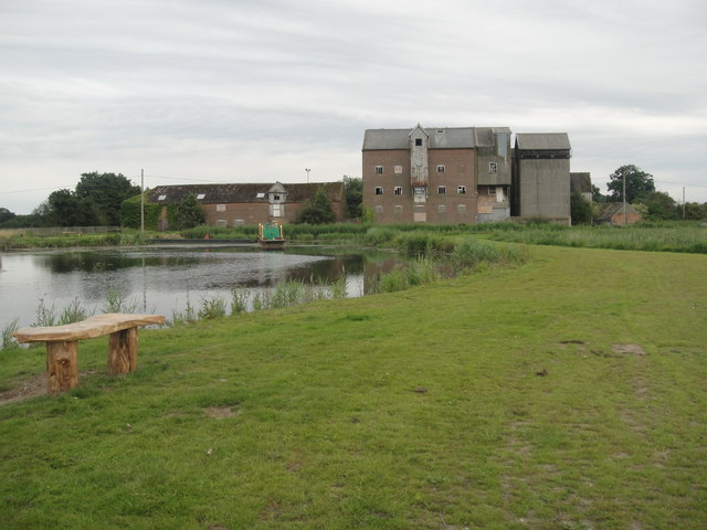
One of the notable features of Spa Common is its historic spa. Dating back to the 18th century, the spa was once a popular destination for those seeking the therapeutic benefits of the mineral-rich waters. Although the spa is no longer operational, the remains serve as a reminder of the village's rich history and heritage.
In terms of amenities, Spa Common offers limited facilities. However, nearby North Walsham provides a range of amenities including shops, restaurants, and accommodation options. The village is also well-connected by road, with easy access to the A149, making it convenient for visitors to explore the wider Norfolk region.
Overall, Spa Common offers a peaceful and idyllic setting for visitors to immerse themselves in the beauty of nature and experience a slice of rural English life.
If you have any feedback on the listing, please let us know in the comments section below.
Spa Common Images
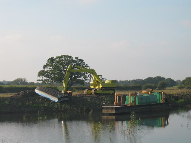
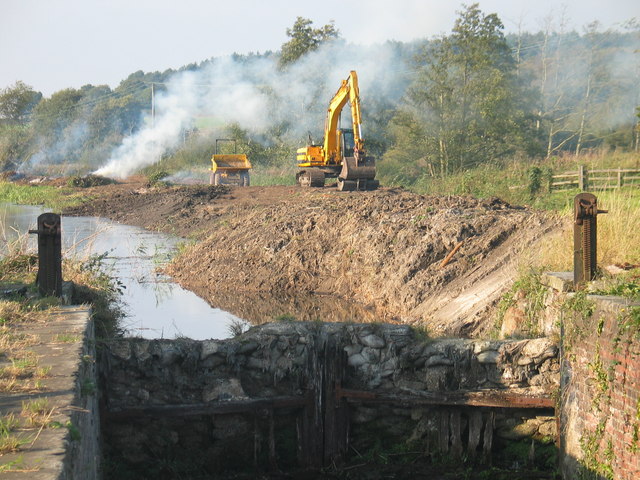
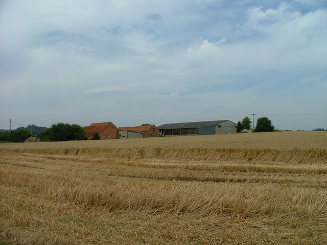
Images are sourced within 2km of 52.823063/1.406376 or Grid Reference TG2930. Thanks to Geograph Open Source API. All images are credited.


Spa Common is located at Grid Ref: TG2930 (Lat: 52.823063, Lng: 1.406376)
Administrative County: Norfolk
District: North Norfolk
Police Authority: Norfolk
What 3 Words
///fatigued.statement.circling. Near North Walsham, Norfolk
Nearby Locations
Related Wikis
North Walsham High School
North Walsham High School is a co-educational secondary school located in North Walsham in the English county of Norfolk. On the same site there is the...

St Nicholas Church, North Walsham
St Nicholas Church is a parish church in the Church of England in the centre of the Norfolk town of North Walsham. The building is a well known landmark...

North Walsham
North Walsham is a market town and civil parish in Norfolk, England, within the North Norfolk district. The town is located 8 mi (13 km) south of Cromer...

Paston College
Paston College (previously Paston Sixth Form College) is a sixth form college located in the town of North Walsham, Norfolk. The college has been part...
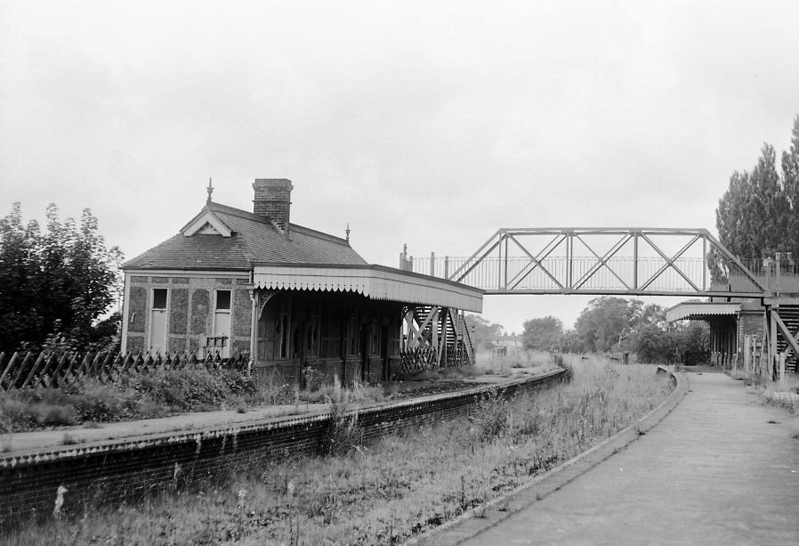
North Walsham Town railway station
North Walsham Town railway station was a station in North Walsham, Norfolk. It served the now closed Midland and Great Northern Joint Railway lines to...

Pigneys Wood
Pigneys Wood or Pigney's Wood is a 20.9-hectare (52-acre) Local Nature Reserve north of North Walsham in Norfolk. It was formerly owned by the North Norfolk...

North Walsham railway station
North Walsham railway station (formerly known as North Walsham Main) is on the Bittern Line in Norfolk, England, serving the town of North Walsham. It...
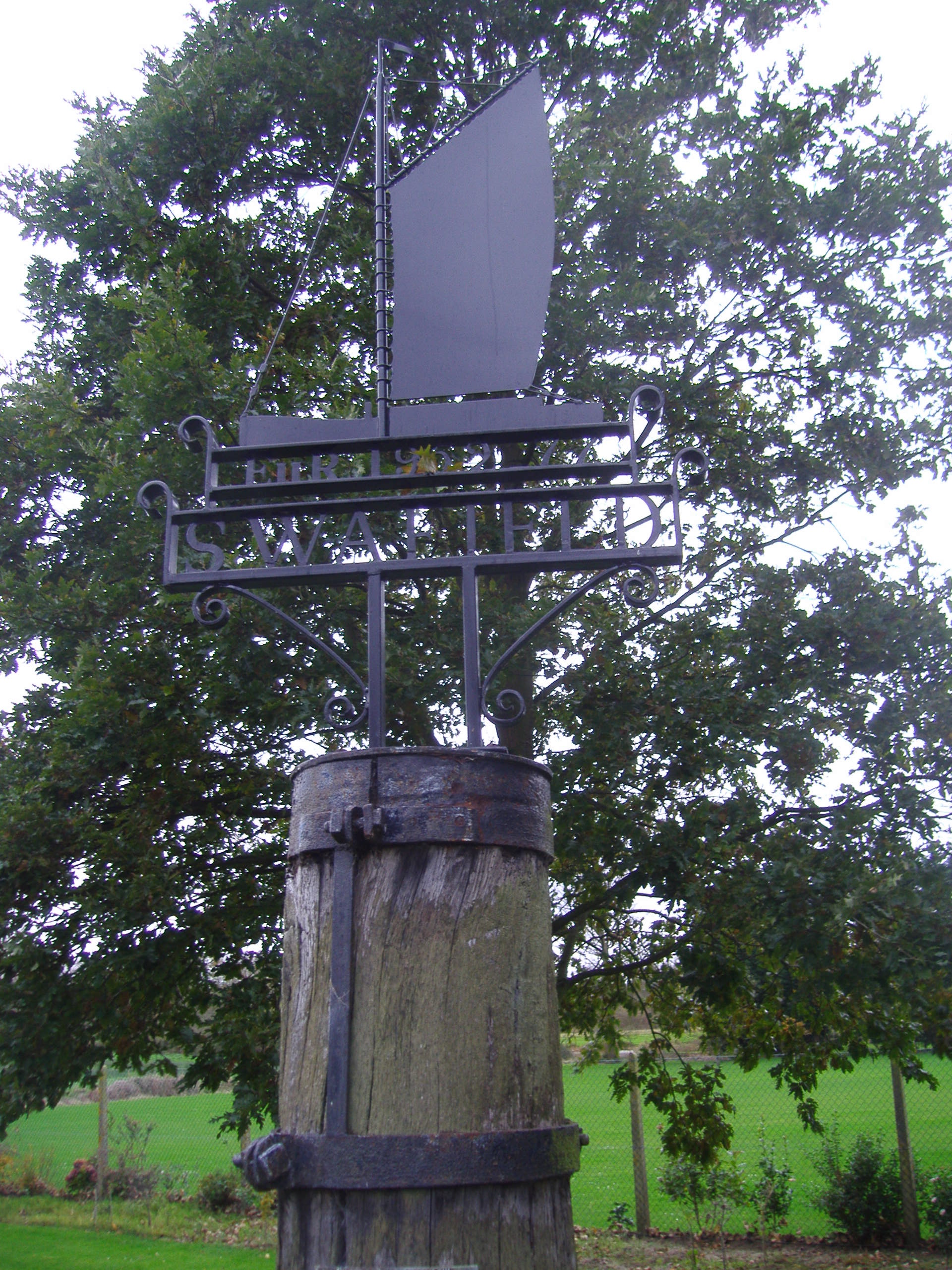
Swafield
Swafield is a village and a civil parish in the English county of Norfolk. The village is 16.4 miles (26.4 km) north north east of Norwich, 10.1 miles...
Nearby Amenities
Located within 500m of 52.823063,1.406376Have you been to Spa Common?
Leave your review of Spa Common below (or comments, questions and feedback).