Larch Wood

Wood, Forest in Norfolk Broadland

England

Larch Wood

Wroxham's new village sign Topped by a representation of a wherry it is constructed of solid marble and the base is decorated with water and reed symbols and an inscription proclaims Wroxham's ancient title as the 'Capital of the Norfolk Broads'. The sign was commissioned by Wroxham Parish Council and was unveiled by Norfolk's Lord Lieutenant, Lady Philippa Dannatt on the 16th July 2021.
Wroxham's new village sign Credit: Jane Rackham

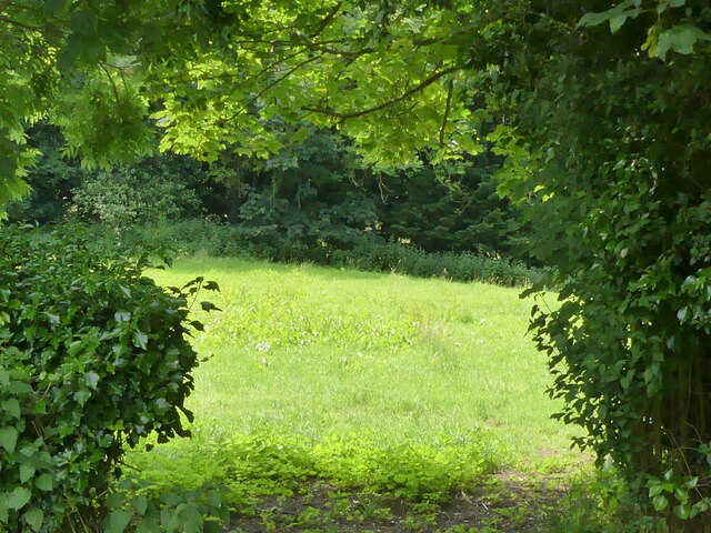
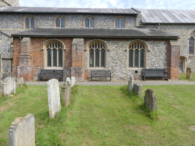
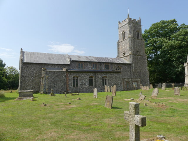
Larch Wood is a picturesque forest located in Norfolk, England. It is known for its dense population of larch trees, which give the wood its name. The forest covers an area of approximately 50 acres, making it a popular destination for nature enthusiasts and hikers.

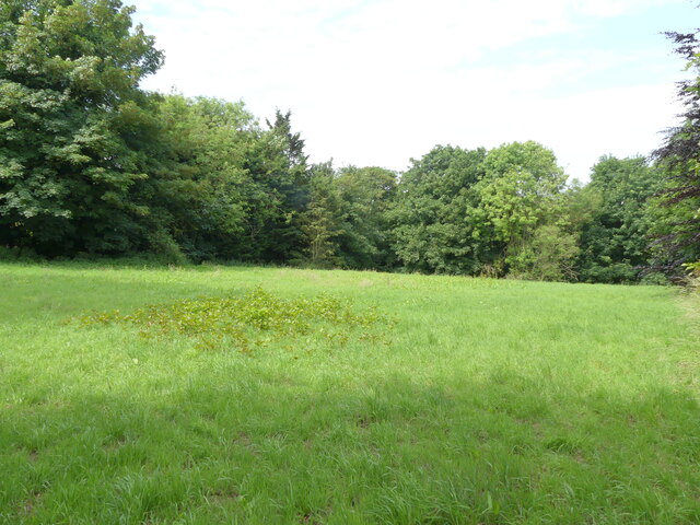
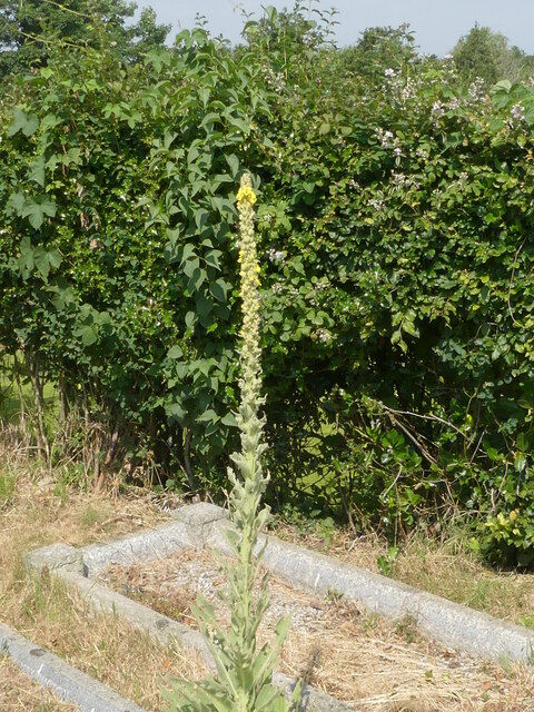
Larch Wood is characterized by its tall and slender larch trees, which create a striking landscape throughout the year. In spring, the forest comes alive with vibrant green foliage and colorful wildflowers, providing a beautiful backdrop for visitors. During the autumn months, the larch trees shed their needles, painting the forest floor with a carpet of golden hues.

The wood is home to a diverse range of flora and fauna. It provides a habitat for various bird species, including woodpeckers, owls, and warblers. Visitors may also spot mammals such as deer and squirrels as they explore the forest trails.

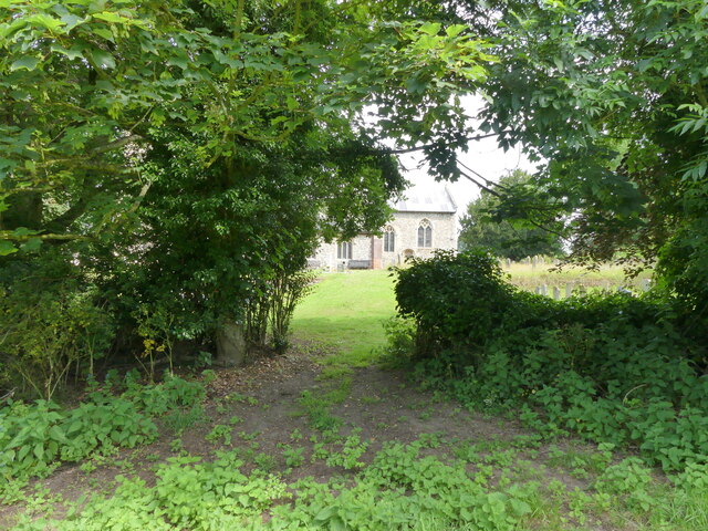
There are several well-marked paths and trails that wind through Larch Wood, offering visitors the opportunity to immerse themselves in the natural beauty of the area. These paths cater to different levels of difficulty, making the wood accessible to both casual walkers and experienced hikers.

Larch Wood is a peaceful and tranquil place, providing a serene escape from the hustle and bustle of everyday life. Whether one seeks solitude, a leisurely stroll, or an adventurous hike, this forest offers a captivating experience for all nature lovers.

If you have any feedback on the listing, please let us know in the comments section below.
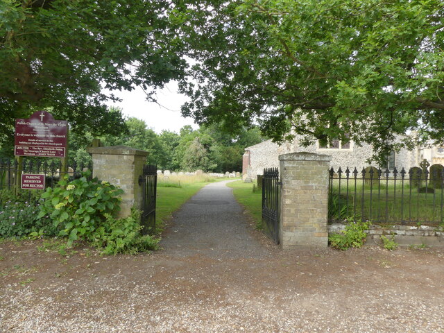
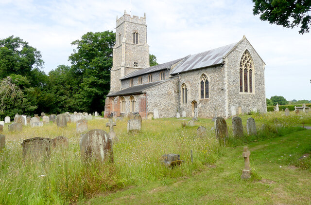
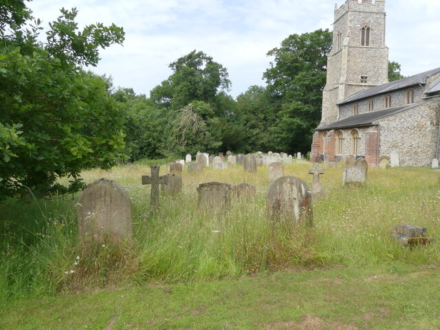
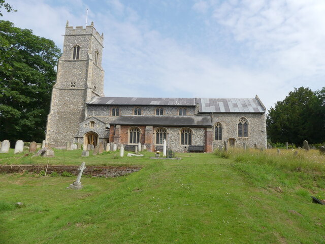
Larch Wood Images

Images are sourced within 2km of 52.692137/1.3959123 or Grid Reference TG2915. Thanks to Geograph Open Source API. All images are credited.

Wroxham's new village sign Topped by a representation of a wherry it is constructed of solid marble and the base is decorated with water and reed symbols and an inscription proclaims Wroxham's ancient title as the 'Capital of the Norfolk Broads'. The sign was commissioned by Wroxham Parish Council and was unveiled by Norfolk's Lord Lieutenant, Lady Philippa Dannatt on the 16th July 2021.
Wroxham's new village sign
Topped by a representation of a wherry it is constructed of solid marble and the base is decorated with water and reed symbols and an inscription proclaims Wroxham's ancient title as the 'Capital of the Norfolk Broads'. The sign was commissioned by Wroxham Parish Council and was unveiled by Norfolk's Lord Lieutenant, Lady Philippa Dannatt on the 16th July 2021.
St Mary's Close
St Mary's Close
Looking towards junction with Nobel Crescent
St Mary's Church noticeboard
Entrance gates and drive to St Mary's Church
St Mary's Church Wroxham
Churchyard conservation area
Looking north to St Mary's Church
View through hedge to grassy area
Grassy area adjacent to churchyard
Church as seen from grassy area
Church entrance porch
Memorial benches
Memorial benches
Mausoleum at St Mary's Church Wroham It was designed by Anthony Salvin in 1827 for the Trafford family of Wroxham Hall
Mausoleum at St Mary's Church Wroham
It was designed by Anthony Salvin in 1827 for the Trafford family of Wroxham Hall
Mausoleum at St Mary's Church Wroxham It was designed by Anthony Salvin in 1827 for the Trafford family of Wroxham Hall
Mausoleum at St Mary's Church Wroxham
It was designed by Anthony Salvin in 1827 for the Trafford family of Wroxham Hall
St Mary's Church Wroxham
St Mary's Church and Trafford Mausoleum
Mullein Growing between graves
Show me another place!

Larch Wood is located at Grid Ref: TG2915 (Lat: 52.692137, Lng: 1.3959123)

Administrative County: Norfolk

District: Broadland

Police Authority: Norfolk

What 3 Words

///redouble.outbound.cleanest. Near Hoveton, Norfolk

Related Wikis

Milestones Hospital

Milestones Hospital [ˈmaɪlstəʊnz ˈhɒspɪtl] is a 10-bed mental hospital for women at Salhouse, Norfolk. Milestones is owned by the Atarrah Project Ltd....
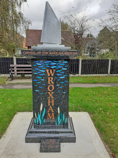
Wroxham F.C.

Wroxham Football Club is a football club based in Wroxham, Norfolk, England. They are currently members of the Isthmian League North Division and play...

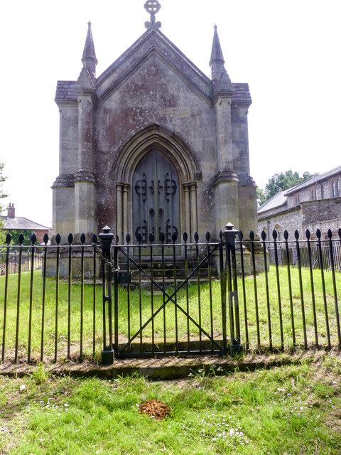
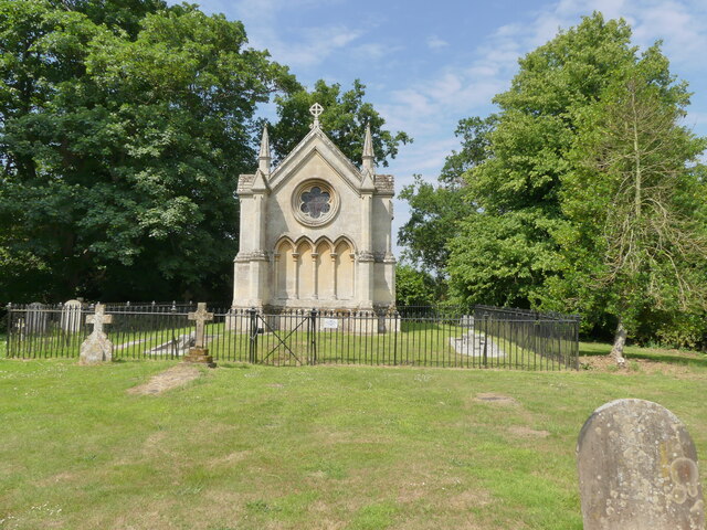
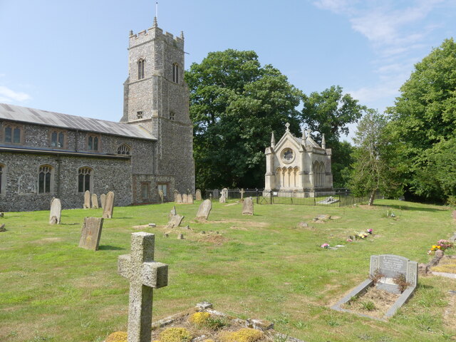
Trafford Mausoleum, Wroxham

The Trafford Mausoleum, is a memorial in Wroxham, Norfolk, England. Commissioned after the death of Sigismund Trafford Southwell in 1827, the mausoleum...
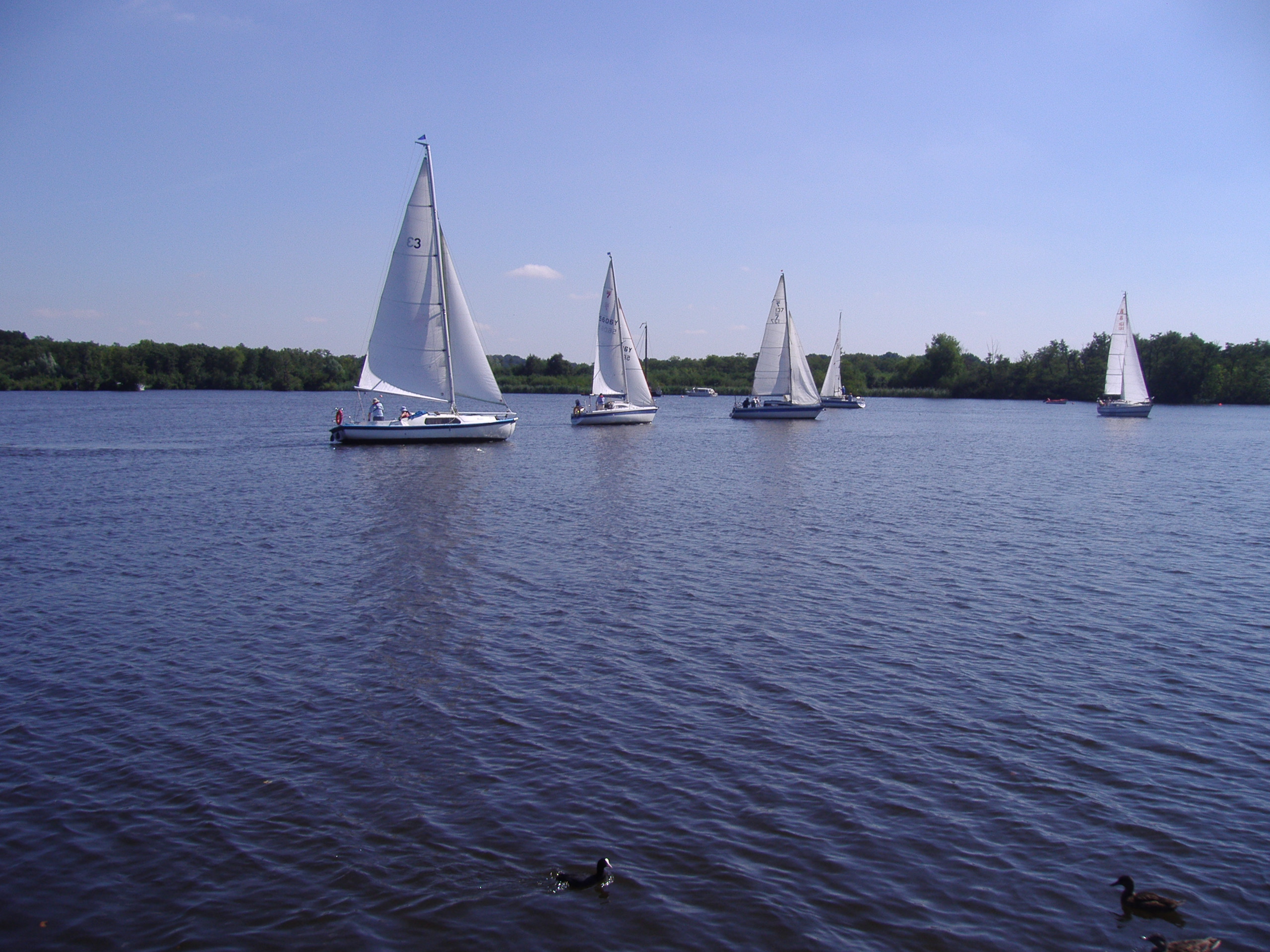
Wroxham Broad

Wroxham Broad is an area of open water alongside the River Bure near the village of Wroxham in Norfolk, England within The Broads National Park. The Norfolk...

Nearby Amenities

Located within 500m of 52.692137,1.3959123
Bears Grove
Crossing: uncontrolled
Motor Vehicle: no
Railway: crossing
Lat/Long: 52.6918647/1.39724
Bears Grove
Crossing: uncontrolled
Motor Vehicle: no
Railway: crossing
Lat/Long: 52.6918655/1.3972855
Power: pole
Lat/Long: 52.6963657/1.3984097
Power: pole
Lat/Long: 52.6955496/1.3984366
Power: pole
Lat/Long: 52.6955415/1.3983078
Power: pole
Lat/Long: 52.6945255/1.3984151
Power: pole
Lat/Long: 52.6944881/1.3982569
Power: pole
Lat/Long: 52.6934315/1.3983401
Power: pole
Lat/Long: 52.6933957/1.3982113
Power: pole
Lat/Long: 52.6923748/1.3982274
Power: pole
Lat/Long: 52.6923358/1.3980665
Power: pole
Lat/Long: 52.6912417/1.3980451
Power: pole
Lat/Long: 52.6912384/1.3981658
Power: pole
Lat/Long: 52.6901118/1.3979431
Power: pole
Lat/Long: 52.6901102/1.3980558
Power: pole
Lat/Long: 52.6890908/1.3980048
Power: pole
Lat/Long: 52.6890729/1.3978948
Power: pole
Lat/Long: 52.6882405/1.3988041
Power: pole
Lat/Long: 52.6882535/1.3989221
Power: pole
Lat/Long: 52.6963115/1.3956445
Power: pole
Lat/Long: 52.6960693/1.3975006
Power: pole
Lat/Long: 52.6951972/1.3974993
Power: pole
Lat/Long: 52.6942332/1.3974376
Power: pole
Lat/Long: 52.693257/1.3974671
Power: pole
Lat/Long: 52.6900073/1.3973035
Power: pole
Lat/Long: 52.690973/1.3973437
Power: pole
Lat/Long: 52.69185/1.3973974
The data included in this document is from www.openstreetmap.org. The data is made available under ODbL.

Have you been to Larch Wood?

Leave your review of Larch Wood below (or comments, questions and feedback).