Kiln Grove
Wood, Forest in Norfolk South Norfolk
England
Kiln Grove
Kiln Grove is a charming village located in the county of Norfolk, England. Nestled amidst the picturesque woodlands and forests, Kiln Grove is known for its natural beauty and tranquil atmosphere. The village is situated in close proximity to the bustling market town of Wymondham, offering residents the perfect balance between rural living and convenient amenities.
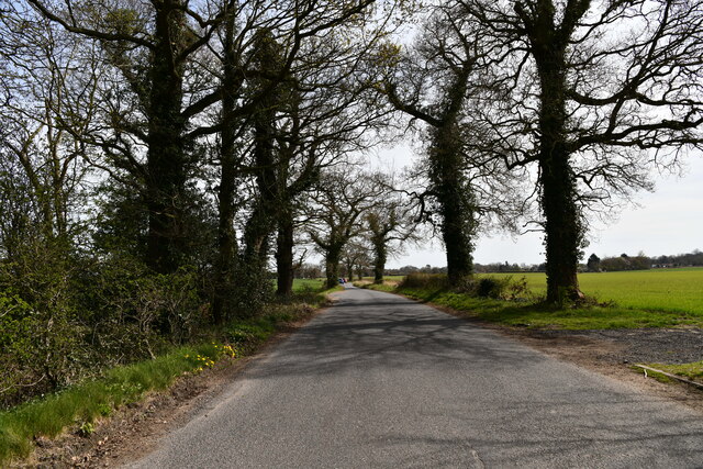
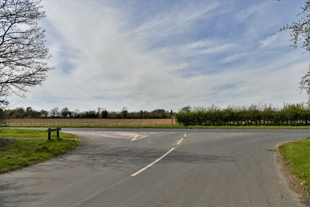
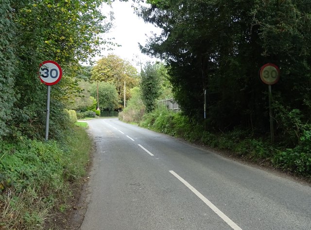
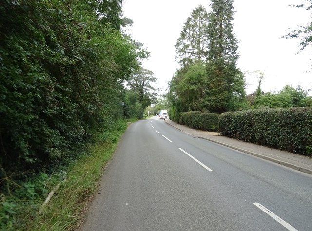
Surrounded by lush greenery, Kiln Grove is a haven for nature enthusiasts and outdoor lovers. The village is home to several woodland areas, providing ample opportunities for walking, hiking, and exploring the local flora and fauna. The ancient trees that populate the forests are a sight to behold, with some dating back hundreds of years.
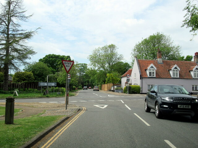
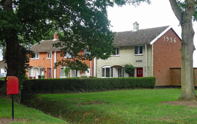
The village itself exudes a peaceful ambiance, with traditional cottages and charming houses lining its streets. The community is tight-knit, fostering a strong sense of camaraderie among its residents. Kiln Grove boasts a well-maintained village green, where locals often gather for events and social activities.
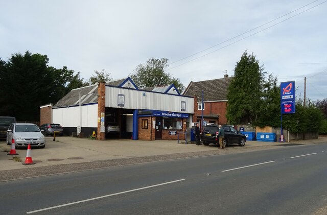
In terms of amenities, Kiln Grove offers a few local shops and a cozy village pub, where visitors and residents can enjoy a refreshing drink or a hearty meal. For more extensive shopping and entertainment options, the nearby town of Wymondham is just a short drive away.
Overall, Kiln Grove, Norfolk, is a serene and idyllic village that offers a peaceful retreat from the hustle and bustle of city life. Its natural beauty, sense of community, and proximity to amenities make it a desirable place to live or visit for those seeking a slower pace of life.
If you have any feedback on the listing, please let us know in the comments section below.
Kiln Grove Images
Images are sourced within 2km of 52.555301/1.3850316 or Grid Reference TG2900. Thanks to Geograph Open Source API. All images are credited.


Kiln Grove is located at Grid Ref: TG2900 (Lat: 52.555301, Lng: 1.3850316)
Administrative County: Norfolk
District: South Norfolk
Police Authority: Norfolk
What 3 Words
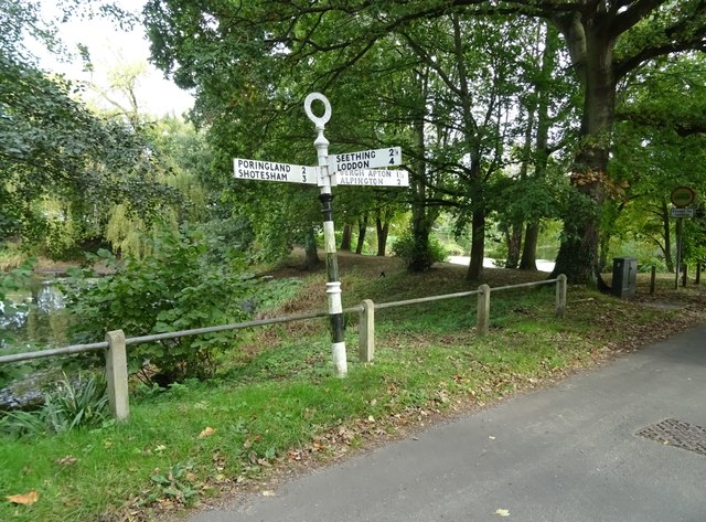
///manual.agreed.flotation. Near Brooke, Norfolk
Nearby Locations
Related Wikis
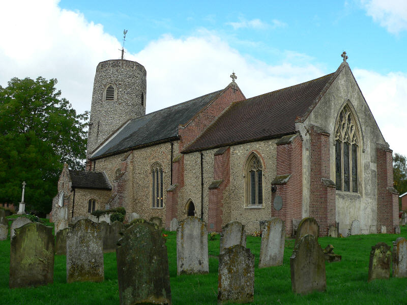
Brooke, Norfolk
Brooke is a village and civil parish in the South Norfolk district of Norfolk, England, about 7 miles south of Norwich and roughly equidistant from Norwich...
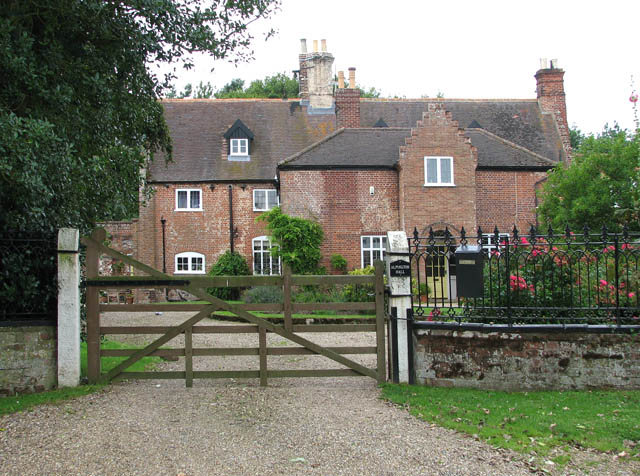
Alpington
Alpington is a village and civil parish in the English county of Norfolk. It is situated about six miles (10 km) south-east of Norwich and is closely associated...

Bergh Apton Anglo-Saxon cemetery
Bergh Apton Anglo-Saxon cemetery is a late-5th to late-6th century Anglo-Saxon burial site discovered at Bergh Apton, Norfolk. The site was excavated in...

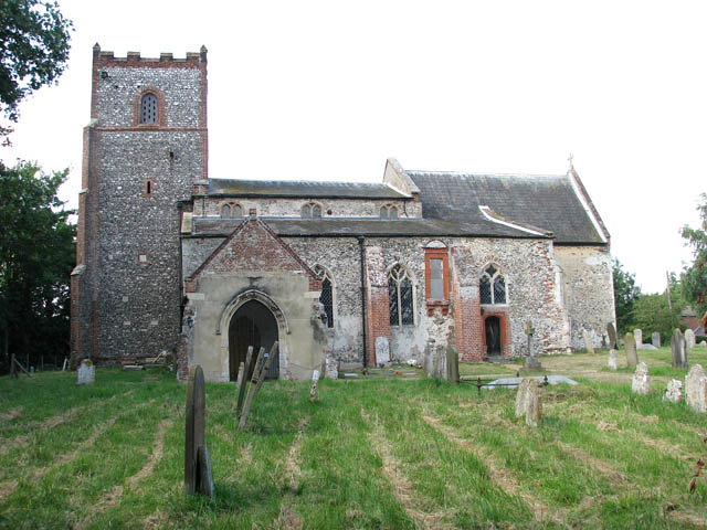
Bergh Apton
Bergh Apton is a village and civil parish in the South Norfolk district of Norfolk, England, 7 miles (11 km) south-east of Norwich just south of the A146...
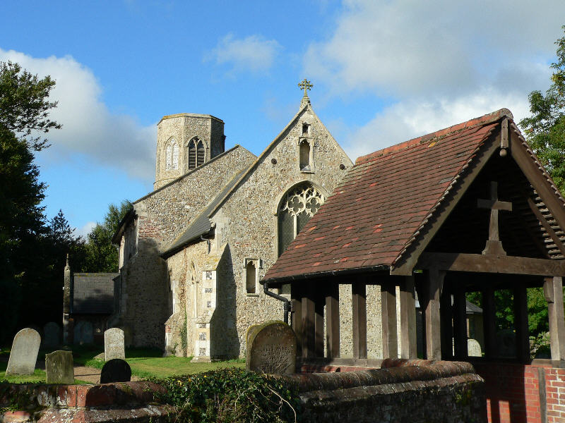
Yelverton, Norfolk
Yelverton is a village and civil parish in the English county of Norfolk, situated some 5 miles (8.0 km) south east of Norwich and closely associated with...

Howe, Norfolk
Howe is a village and civil parish in South Norfolk, England. It is situated between Poringland, Brooke and Shotesham. It covers an area of 3.20 km2...
Poringland
Poringland is a village in the district of South Norfolk, England. It lies 5 miles (8.0 km) south of Norwich city centre and 10 miles (16 km) north of...

Framingham Earl
Framingham Earl is a small village and civil parish in the English county of Norfolk. The village is located 5.8 miles (9.3 km) north-west of Loddon and...
Nearby Amenities
Located within 500m of 52.555301,1.3850316Have you been to Kiln Grove?
Leave your review of Kiln Grove below (or comments, questions and feedback).