Bear's Grove
Wood, Forest in Norfolk Broadland
England
Bear's Grove
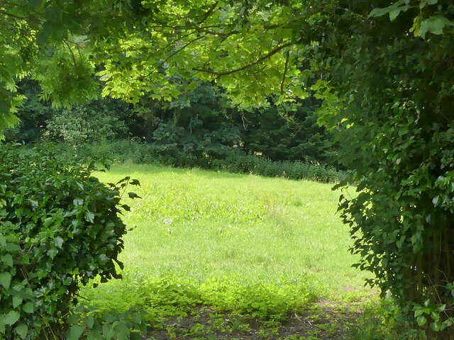
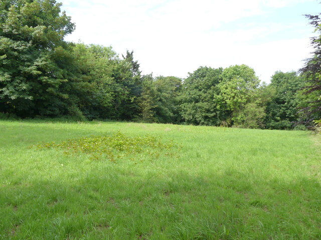
Bear's Grove is a picturesque woodland located in Norfolk, a county in East Anglia, England. Nestled in the heart of the countryside, this enchanting forest is renowned for its natural beauty, rich biodiversity, and tranquil atmosphere. Covering an area of approximately 500 acres, Bear's Grove is a haven for nature enthusiasts, offering a unique opportunity to explore and appreciate the wonders of the great outdoors.
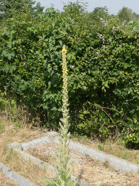
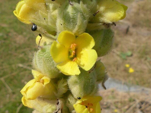
The woodland is predominantly composed of majestic oak and beech trees, which provide a dense canopy, casting dappled sunlight onto the forest floor. The diverse range of flora and fauna found within Bear's Grove is truly remarkable. Wildflowers such as bluebells and primroses carpet the forest floor in spring, creating a breathtaking display of color. Various native bird species, including woodpeckers and owls, can be heard and seen throughout the year, adding to the peaceful ambiance.
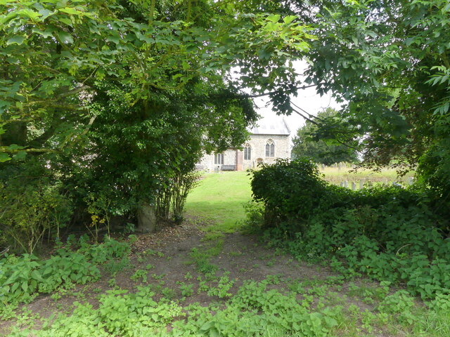
The forest is crisscrossed by a network of well-maintained footpaths and trails, allowing visitors to easily navigate and explore the area. These paths wind through towering trees, across trickling streams, and past tranquil ponds, offering glimpses of the area's natural beauty at every turn. The forest also features several picnic areas and clearings, providing the perfect spot for visitors to relax and immerse themselves in the serene surroundings.
Bear's Grove is managed by the Norfolk Wildlife Trust, ensuring the preservation of its unique ecosystem. The trust also organizes guided walks and educational programs, allowing visitors to learn more about the flora, fauna, and conservation efforts within the woodland.
Overall, Bear's Grove is a true gem of Norfolk, offering a sanctuary for both wildlife and visitors alike. Its breathtaking landscapes and peaceful ambiance make it a must-visit destination for nature lovers and those seeking a tranquil retreat.
If you have any feedback on the listing, please let us know in the comments section below.
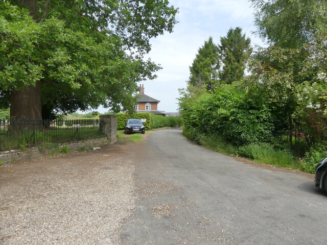
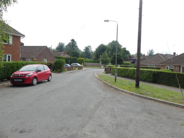
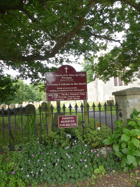
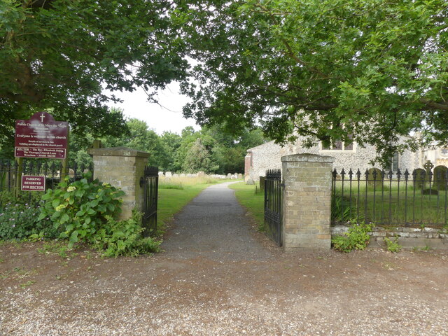
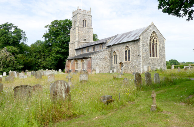
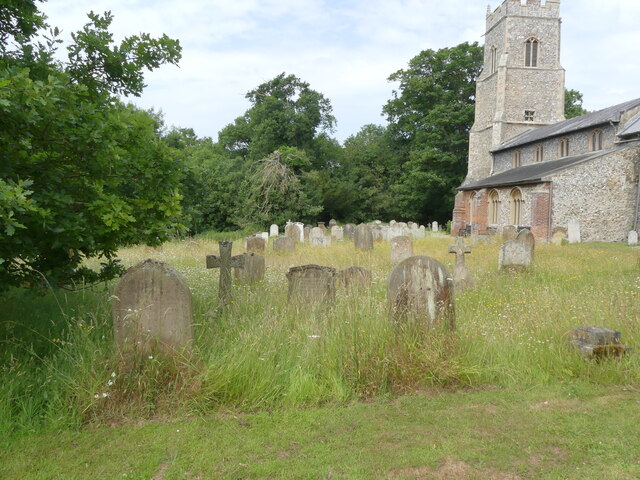
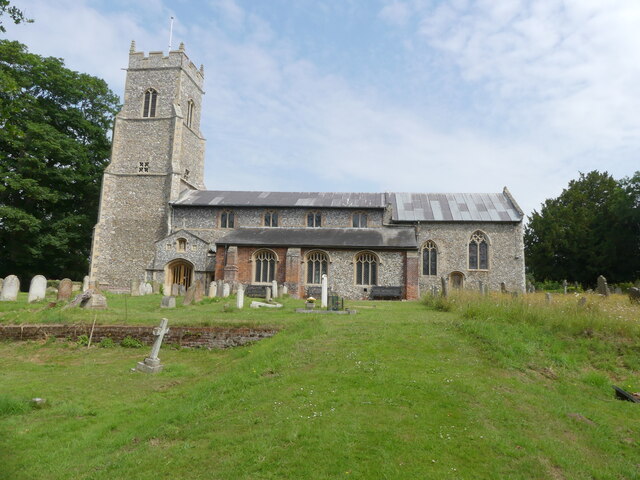
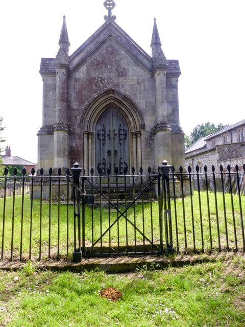
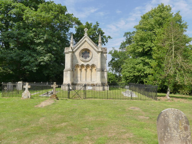
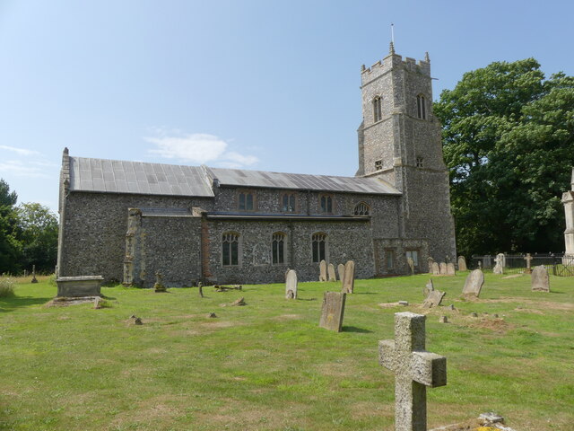
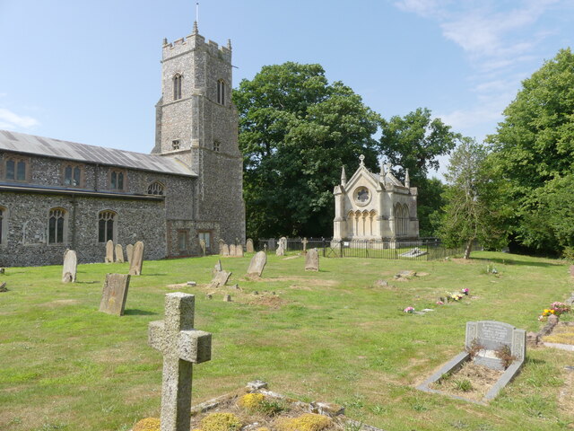
Bear's Grove Images
Images are sourced within 2km of 52.689665/1.3917979 or Grid Reference TG2915. Thanks to Geograph Open Source API. All images are credited.
Bear's Grove is located at Grid Ref: TG2915 (Lat: 52.689665, Lng: 1.3917979)
Administrative County: Norfolk
District: Broadland
Police Authority: Norfolk
What 3 Words
///revamping.just.thudded. Near Hoveton, Norfolk
Nearby Locations
Related Wikis

Milestones Hospital
Milestones Hospital [ˈmaɪlstəʊnz ˈhɒspɪtl] is a 10-bed mental hospital for women at Catfield, Norfolk. Milestones is owned by the Atarrah Project Ltd....
Wroxham F.C.
Wroxham Football Club is a football club based in Wroxham, Norfolk, England. They are currently members of the Isthmian League North Division and play...
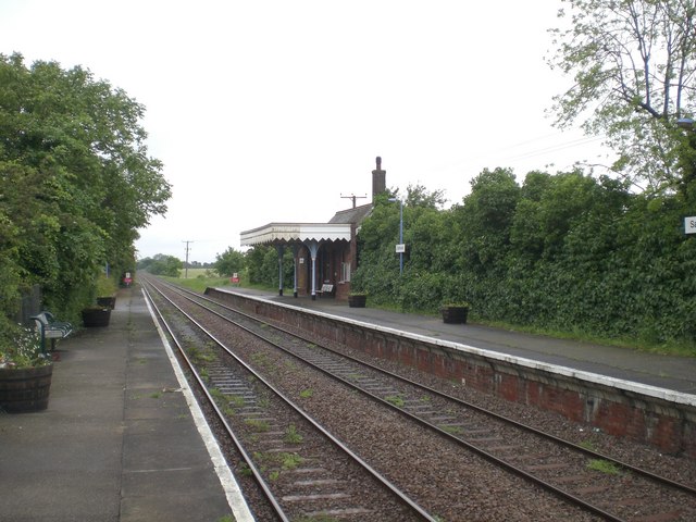
Salhouse railway station
Salhouse railway station is on the Bittern Line in Norfolk, England, serving the village of Salhouse. It is the next station along the line from Norwich...
Rackheath Eco-town
The Rackheath Eco-town is a proposal for just over 5,000 houses to be built in the Rackheath area, in Norfolk, within a mile of The Broads National Park...
Related Videos

Holidays on the Norfolk Broads. Boating Holidays, Self-Catering Holiday Properties and Day Boats.
Barnes Brinkcraft is a family run business, offering Boating Holidays, Self-Catering Holiday Properties and Day Boats. We run a ...
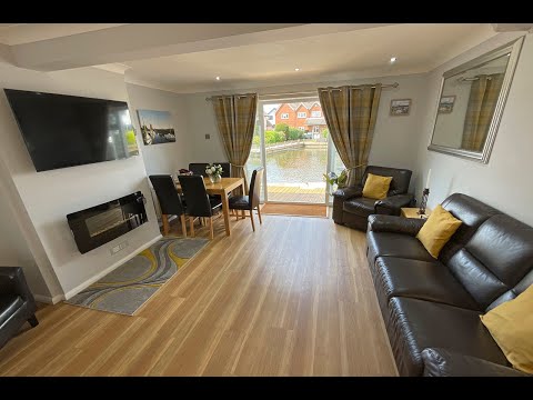
Swan Cottage - Holiday Cottage in Wroxham on Norfolk Broads
Swan Cottage is at the heart of Broads life. A place for your most relaxed riverside holiday on the Norfolk Broads starts here at ...
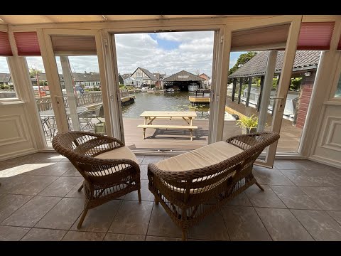
Waterside Retreat - Holiday Cottage in Wroxham on Norfolk
The scale of Waterside Retreat will take your breath away. Nothing quite prepares you for the generosity of space and the ...
Sunset Haven - Holiday Cottage in Wroxham on Norfolk Broads
Sunset Haven at the very heart of Broadlands' liveliest village, Wroxham. It is an excellent location for fishing, sailing, cycling, ...
Nearby Amenities
Located within 500m of 52.689665,1.3917979Have you been to Bear's Grove?
Leave your review of Bear's Grove below (or comments, questions and feedback).