Beech Plantation

Wood, Forest in Norfolk South Norfolk

England

Beech Plantation

Neolithic polished flint axe The axe, which measures 135mm x 60mm and about 6,000 years old, was found close to this spot in 1977.
The general location can be seen here <a title="https://www.geograph.org.uk/photo/6946224" href="https://www.geograph.org.uk/photo/6946224">Link</a>
Neolithic polished flint axe Credit: Adrian S Pye

Beech Plantation, located in Norfolk, England, is a sprawling woodland area known for its magnificent beech trees. Covering an expanse of several hectares, this forested haven offers a serene and picturesque escape from the hustle and bustle of urban life.

The dominant feature of Beech Plantation is, of course, the beech trees that populate the area. These majestic trees, with their smooth gray bark and vibrant green leaves, create a tranquil atmosphere and provide shelter for a diverse range of wildlife. The forest floor is often carpeted with a thick layer of fallen beech leaves, adding to the magical ambiance.

Visitors to Beech Plantation can explore a network of well-maintained trails that wind their way through the woodland. These paths offer opportunities for leisurely walks, jogging, or cycling, allowing visitors to immerse themselves in the natural beauty of the surroundings. The forest is also home to a variety of wildlife, including deer, squirrels, and numerous bird species, making it a paradise for nature enthusiasts and wildlife photographers.

The plantation is open to the public year-round, with changing scenery throughout the seasons. In spring, the beech trees burst to life with fresh green leaves, while autumn brings a breathtaking display of golden hues as the trees shed their leaves. The forest provides a cool respite in the summer months, with its dense canopy offering shade and shelter from the sun.

Beech Plantation in Norfolk is a tranquil oasis, inviting visitors to reconnect with nature and enjoy the beauty of the British countryside.

If you have any feedback on the listing, please let us know in the comments section below.

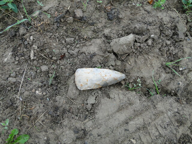
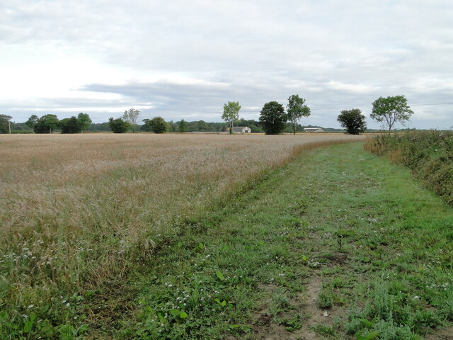
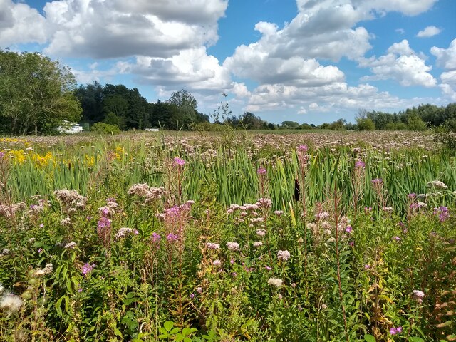
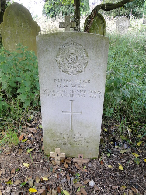
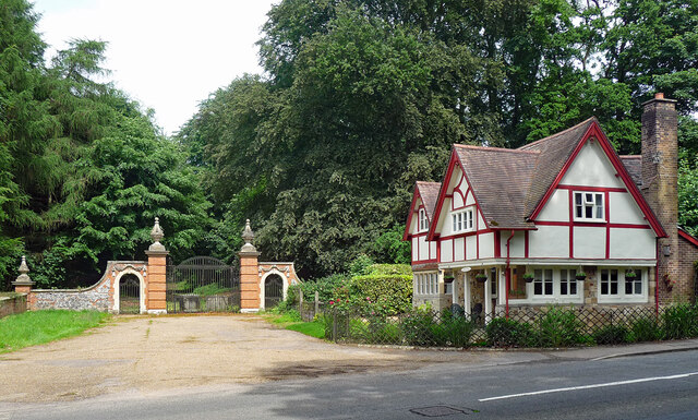
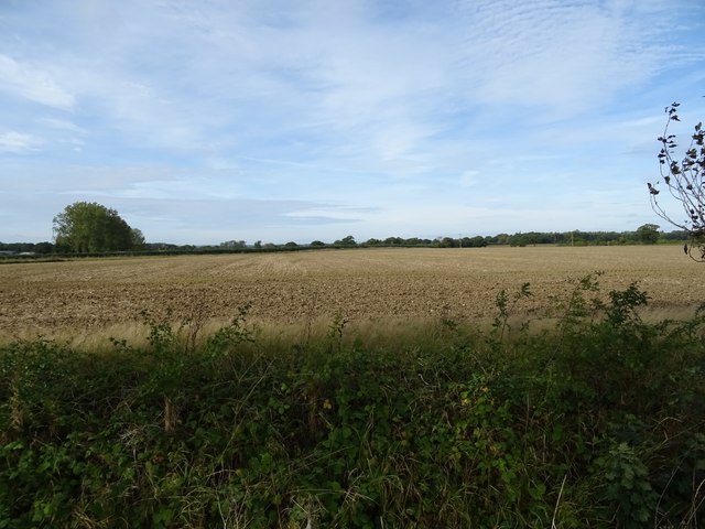
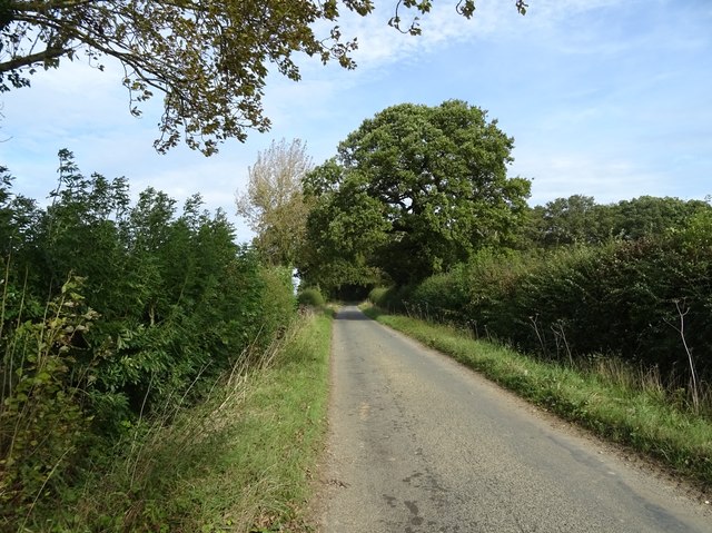
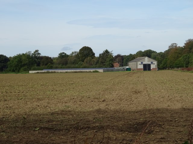
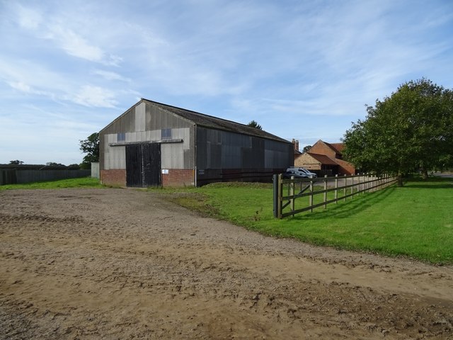
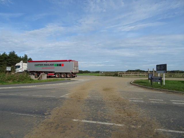
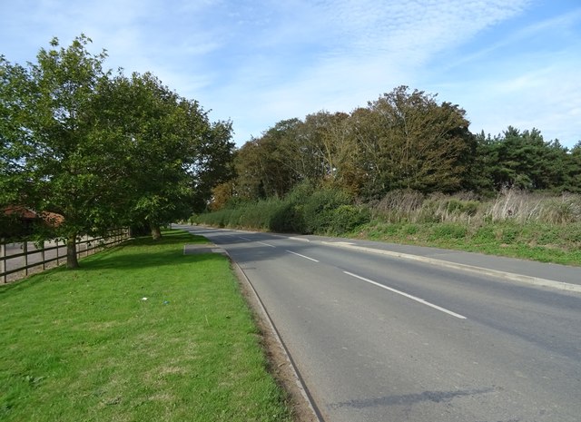
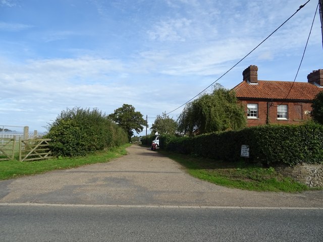
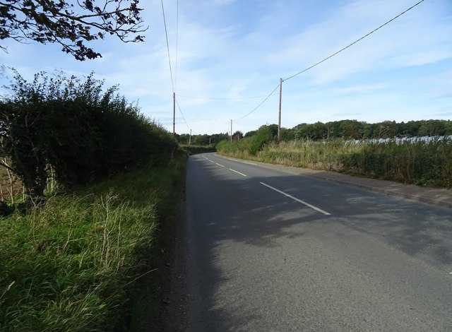
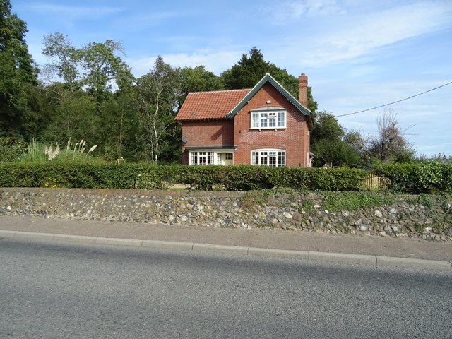
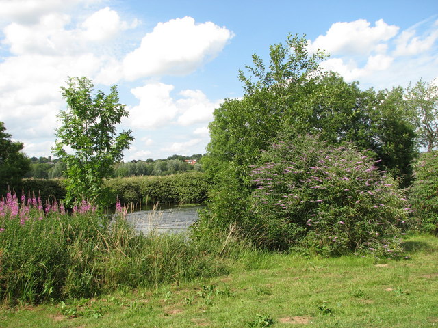
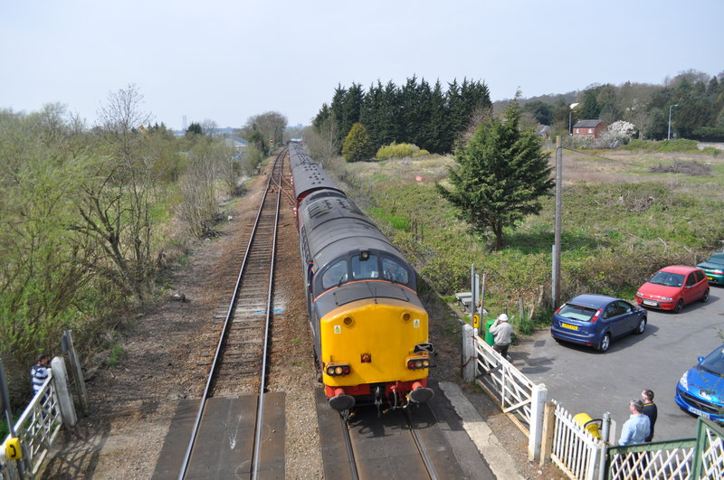
Beech Plantation Images

Images are sourced within 2km of 52.617191/1.3530141 or Grid Reference TG2707. Thanks to Geograph Open Source API. All images are credited.

Neolithic polished flint axe The axe, which measures 135mm x 60mm and about 6,000 years old, was found close to this spot in 1977.
The general location can be seen here <a title="https://www.geograph.org.uk/photo/6946224" href="https://www.geograph.org.uk/photo/6946224">Link</a>
Neolithic polished flint axe
The axe, which measures 135mm x 60mm and about 6,000 years old, was found close to this spot in 1977. The general location can be seen here Link
Field headland A polished neolithic flint axe was found in this field in 1977 <a href="https://www.geograph.org.uk/photo/6946221">TG2605 : Neolithic polished flint axe</a>
Field headland
A polished neolithic flint axe was found in this field in 1977 TG2605 : Neolithic polished flint axe
Thorpe Marshes Nature Reserve
Yellow Iris, Thorpe Marshes Nature Reserve
War Grave of George William West RASC Driver George William West was the son of Edmund and Gertrude West, of Lakenham. He married Amy Elizabeth Newitt in 1939 and lived at Hill Cottages in Whitlingham. He served as a driver in the RASC, 593 Transport Coy, and in the Ammunition Column for 33rd Brigade. He was injured and returned home where he died 13th September 1943. He is buried in Thorpe (St Andrew) Church Cemetery extension. His memorial can be seen here <a title="https://www.geograph.org.uk/photo/6590004" href="https://www.geograph.org.uk/photo/6590004">Link</a>
War Grave of George William West RASC Driver
George William West was the son of Edmund and Gertrude West, of Lakenham. He married Amy Elizabeth Newitt in 1939 and lived at Hill Cottages in Whitlingham. He served as a driver in the RASC, 593 Transport Coy, and in the Ammunition Column for 33rd Brigade. He was injured and returned home where he died 13th September 1943. He is buried in Thorpe (St Andrew) Church Cemetery extension. His memorial can be seen here Link
Lodge and gates, Trowse Newton North Lodge, former entrance to Whitlingham Hall (<a href="https://www.geograph.org.uk/photo/4769135">TG2506 : Crown Point Hall</a>). By George Devey, c1864.
Lodge and gates, Trowse Newton
North Lodge, former entrance to Whitlingham Hall (TG2506 : Crown Point Hall). By George Devey, c1864.
Old Milepost by the A1042, Yarmouth Road, Thorpe St Andrew Cast iron post by the A1042, in parish of Thorpe St Andrew (Broadland District), 50yds East of bridge, against flint wall at rear of pavement, on North side of road. Erected by the Norwich & Yarmouth turnpike trust in the 19th century. An earlier photograph can be found here <a title="https://www.geograph.org.uk/photo/6096355" href="https://www.geograph.org.uk/photo/6096355">Link</a>.

Inscription reads:-
: YARMOUTH / 19 : : THORPE : : NORWICH / 3 :

Norfolk HER.
NHER Number: 56574 <span class="nowrap"><a title="https://www.heritagegateway.org.uk/Gateway/Results_Single.aspx?uid=MNF62993&resourceID=1002" rel="nofollow ugc noopener" href="https://www.heritagegateway.org.uk/Gateway/Results_Single.aspx?uid=MNF62993&resourceID=1002">Link</a><img style="margin-left:2px;" alt="External link" title="External link - shift click to open in new window" src="https://s1.geograph.org.uk/img/external.png" width="10" height="10"/></span>

Milestone Society National ID: NO_NGY03
Old Milepost by the A1042, Yarmouth Road, Thorpe St Andrew
Cast iron post by the A1042, in parish of Thorpe St Andrew (Broadland District), 50yds East of bridge, against flint wall at rear of pavement, on North side of road. Erected by the Norwich & Yarmouth turnpike trust in the 19th century. An earlier photograph can be found here Link. Inscription reads:- : YARMOUTH / 19 : : THORPE : : NORWICH / 3 : Norfolk HER. NHER Number: 56574 LinkExternal link Milestone Society National ID: NO_NGY03
Field off Trumpery Lane
Heading north on Trumpery Lane
Farmland towards Oaks Farm
Barn, Oaks Farm
Barn, Oaks Farm
Farm road off Kirby Road
Kirby Road
Kirby Road
Track off Kirby Road
Kirby Road towards the A146
House on Kirby Road
House on Kirby Road
The River Yare by Hall Farm, Postwick
Derelict boat moored on the River Yare by Hall Farm, Postwick
Show me another place!

Beech Plantation is located at Grid Ref: TG2707 (Lat: 52.617191, Lng: 1.3530141)

Administrative County: Norfolk

District: South Norfolk

Police Authority: Norfolk

What 3 Words

///views.offer.hosts. Near Thorpe Hamlet, Norfolk

Related Wikis

Nearby Amenities

Located within 500m of 52.617191,1.3530141
Source: Landsat photo - shifted
Lat/Long: 52.6211624/1.3506115
Source: Landsat photo - shifted
Lat/Long: 52.6213325/1.3519006
Parking
Access: yes
Fee: no
Parking: layby
Lat/Long: 52.6177647/1.3474774
Parking
Access: yes
Fee: no
Parking: layby
Lat/Long: 52.6194232/1.3531623
Bench
Backrest: no
Material: wood
Seats: 2
Lat/Long: 52.621398/1.3504273
Bench
Backrest: no
Material: wood
Seats: 2
Lat/Long: 52.6216414/1.3520985
Leisure: picnic_table
Lat/Long: 52.6207793/1.3530415
Phone
Emergency: phone
Ref: 244A
Lat/Long: 52.6195376/1.353509
Phone
Check Date: 2021-08-22
Emergency: phone
Ref: 244B
Lat/Long: 52.6176452/1.3471093
Hill Cottages
Place: locality
Lat/Long: 52.6181731/1.355404
Holmemead
Place: locality
Lat/Long: 52.6188999/1.3555686
Lime Kiln
Description: Now protected for a bat colony roost.
Historic: ruins
Lat/Long: 52.6206517/1.3545088
Bench
Backrest: no
Material: wood
Lat/Long: 52.6193659/1.3482048
Bench
Backrest: no
Material: wood
Lat/Long: 52.6205042/1.3544337
Leisure: picnic_table
Material: wood
Lat/Long: 52.6205166/1.3541414
Bench
Backrest: no
Material: wood
Lat/Long: 52.6205298/1.3544712
Bicycle Parking
Bicycle Parking: stands
Capacity: 4
Covered: no
Lat/Long: 52.6207853/1.3512722
Leisure: playground
Material: wood
Lat/Long: 52.6207974/1.3527774
Vending Machine
Vending: parking_tickets
Lat/Long: 52.6208265/1.3516634
Waste Basket
Waste: dog_excrement
Lat/Long: 52.6208183/1.3516835
Traffic Calming: hump
Lat/Long: 52.6208713/1.3498253
Waste Basket
Lat/Long: 52.6207973/1.3516533
Bicycle Parking
Bicycle Parking: stands
Capacity: 4
Covered: no
Lat/Long: 52.6208846/1.3517385
Board Type: nature
Information: board
Tourism: information
Lat/Long: 52.6208887/1.3516565
Leisure: picnic_table
Lat/Long: 52.6209064/1.3525366
Barrier: bollard
Bollard: fixed
Lat/Long: 52.6205952/1.3509807
Barrier: bollard
Bollard: fixed
Lat/Long: 52.6205844/1.3509052
Bench
Backrest: yes
Material: wood
Seats: 2
Lat/Long: 52.621135/1.351826
Barrier: bollard
Bollard: fixed
Lat/Long: 52.6205898/1.3509494
Bicycle Parking
Bicycle Parking: stands
Capacity: 4
Capacity Cargo Bike: 1
Lat/Long: 52.6211831/1.3532662
Tree: yes
Lat/Long: 52.6206063/1.3510293
Barrier: bollard
Bollard: fixed
Lat/Long: 52.6205707/1.3508241
Barrier: bollard
Bollard: fixed
Lat/Long: 52.6205749/1.3508675
The data included in this document is from www.openstreetmap.org. The data is made available under ODbL.

Have you been to Beech Plantation?

Leave your review of Beech Plantation below (or comments, questions and feedback).