Cockshoot Plantation
Wood, Forest in Norfolk South Norfolk
England
Cockshoot Plantation
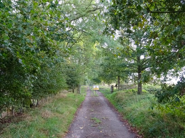
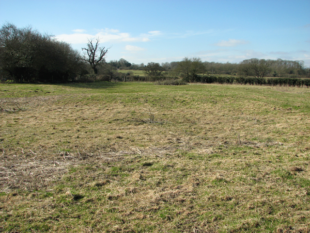
Cockshoot Plantation is a picturesque woodland located in Norfolk, England. Covering an area of approximately 200 acres, it is a renowned natural haven for flora and fauna. The plantation is part of the wider Cockshoot Wood complex, and its diverse range of habitats provides a rich and varied ecosystem.
The site is predominantly made up of broadleaf trees, including oak, beech, and birch, which create a dense canopy over the forest floor. These trees provide an important habitat for various bird species, such as woodpeckers, tits, and finches. In addition to the avian inhabitants, a wide range of mammals can be found in this woodland, including deer, foxes, and badgers.
Cockshoot Plantation is also home to a variety of plant species. Bluebells carpet the forest floor in the spring, creating a stunning display of vibrant blue hues. Other wildflowers, such as primroses and wood anemones, add to the beauty of the woodland. The plantation is also known for its diverse fungi population, with various species thriving in the damp and shaded areas.
The woodland offers a tranquil escape for visitors, with several walking trails meandering through the trees. These paths provide opportunities to observe the local wildlife and appreciate the natural beauty of the area. The plantation is open to the public year-round and is a popular destination for nature enthusiasts, hikers, and photographers alike.
If you have any feedback on the listing, please let us know in the comments section below.
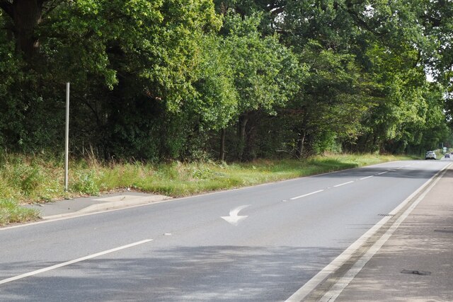
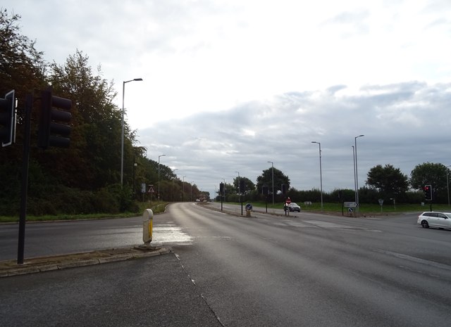
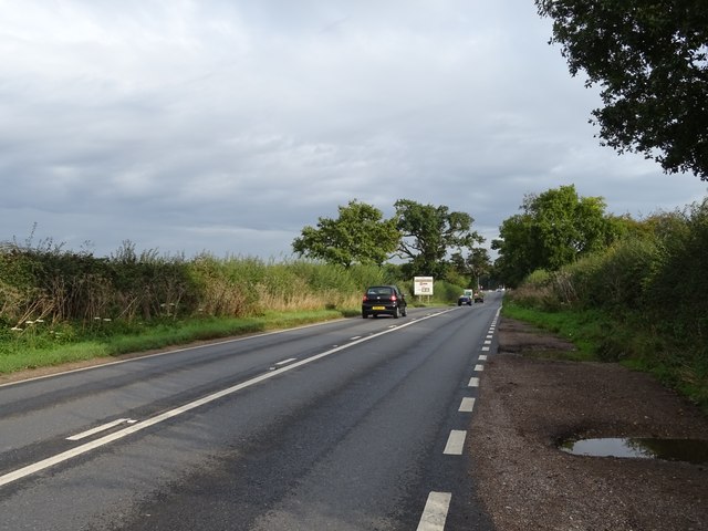
Cockshoot Plantation Images
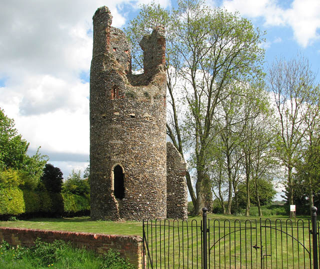
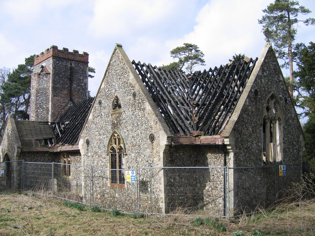
Images are sourced within 2km of 52.59725/1.3518148 or Grid Reference TG2705. Thanks to Geograph Open Source API. All images are credited.


Cockshoot Plantation is located at Grid Ref: TG2705 (Lat: 52.59725, Lng: 1.3518148)
Administrative County: Norfolk
District: South Norfolk
Police Authority: Norfolk
What 3 Words
///swear.loving.smart. Near Poringland, Norfolk
Nearby Locations
Related Wikis
Bixley medieval settlement
Bixley medieval settlement is a deserted medieval village in Norfolk, England, about 2 miles (3.2 km) south-east of Norwich. It is a Scheduled Monument...
Kirby Bedon
Kirby Bedon is a hamlet in South Norfolk which lies approximately 3½ miles (5½ km) south-east of Norwich on the road to Bramerton. It covers an area of...

Framingham Pigot
Framingham Pigot is a village and civil parish in the English county of Norfolk. The village is located 6.4 miles (10.3 km) north-west of Loddon and 3...
Bixley
Bixley is a former civil parish now in the parish of Caistor St Edmund and Bixley, in the South Norfolk district of Norfolk, England. According to the...
Nearby Amenities
Located within 500m of 52.59725,1.3518148Have you been to Cockshoot Plantation?
Leave your review of Cockshoot Plantation below (or comments, questions and feedback).