Abbot's Plantation
Wood, Forest in Norfolk South Norfolk
England
Abbot's Plantation
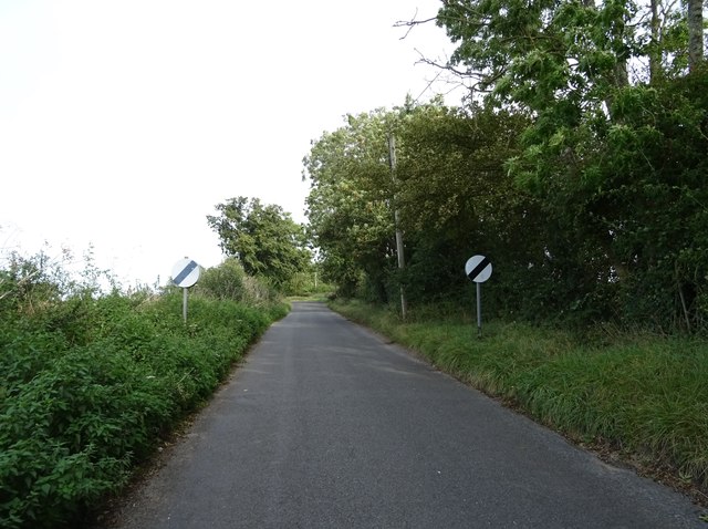
Abbot's Plantation, located in Norfolk, England, is a beautiful and historic woodland area known for its rich biodiversity and scenic landscapes. Spanning over a vast area, it is renowned for being one of the largest remaining ancient woodlands in the country.
This ancient woodland, also known as Abbot's Forest, has a long and fascinating history dating back to medieval times. It was originally part of the vast hunting grounds belonging to the nearby Wymondham Abbey, hence the name "Abbot's Plantation." The area was once used for timber production, supplying wood for construction, fuel, and various other purposes.
Today, Abbot's Plantation is a protected nature reserve, managed by local authorities and conservation organizations. It is home to a diverse range of plant and animal species, including ancient oak trees, rare wildflowers, and numerous bird species. The woodland provides an important habitat for wildlife, acting as a corridor for animals to move between different ecosystems.
Visitors to Abbot's Plantation can enjoy a range of activities, including walking and hiking along the well-maintained trails that wind through the woodland. These paths offer breathtaking views of the surrounding countryside and provide an opportunity to immerse oneself in nature. The woodland also features picnic areas and designated spots for birdwatching, making it a popular destination for nature enthusiasts and families alike.
Abbot's Plantation is not only a place of natural beauty, but it also holds significant historical and cultural value. Its ancient trees and tranquil atmosphere serve as a reminder of the area's past, making it a cherished part of Norfolk's landscape.
If you have any feedback on the listing, please let us know in the comments section below.
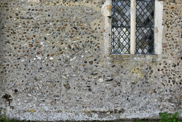
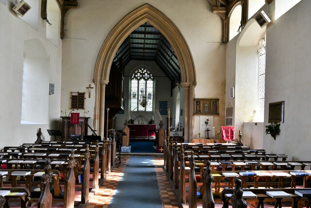
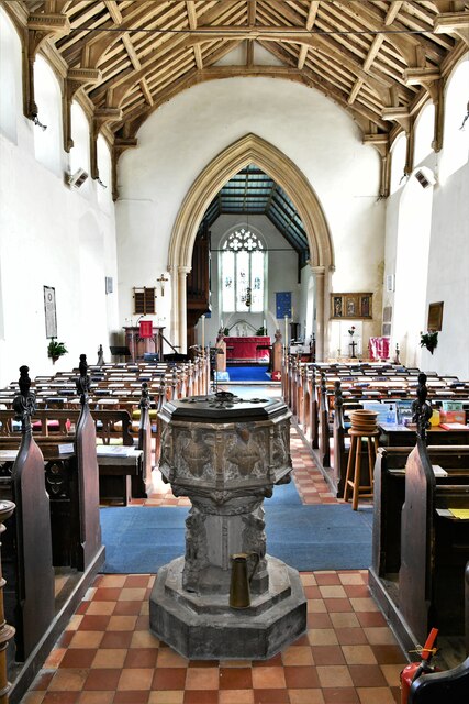
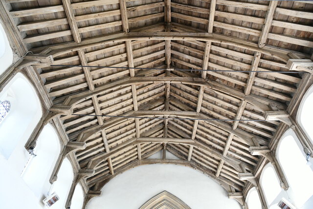
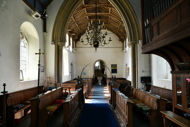
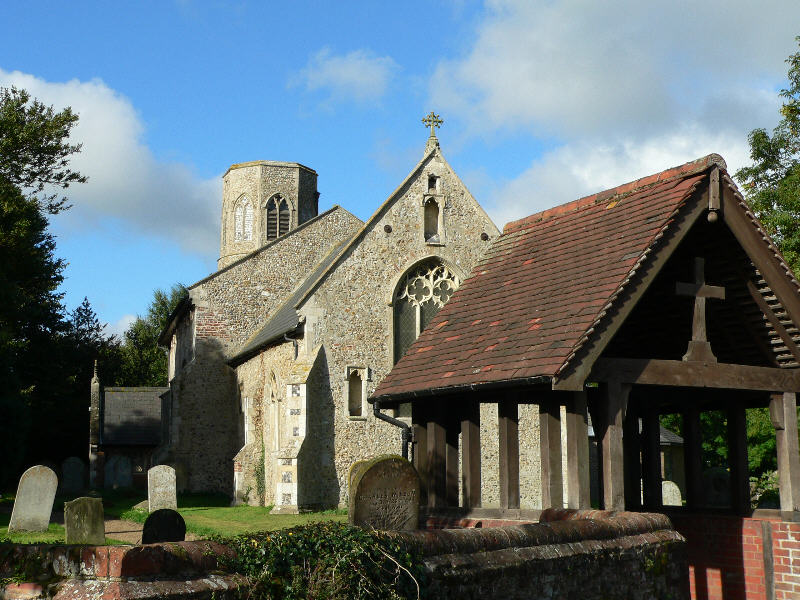
Abbot's Plantation Images
Images are sourced within 2km of 52.561669/1.3295598 or Grid Reference TG2501. Thanks to Geograph Open Source API. All images are credited.


Abbot's Plantation is located at Grid Ref: TG2501 (Lat: 52.561669, Lng: 1.3295598)
Administrative County: Norfolk
District: South Norfolk
Police Authority: Norfolk
What 3 Words
///souk.economies.carpentry. Near Poringland, Norfolk
Nearby Locations
Related Wikis
Poringland
Poringland is a village in the district of South Norfolk, England. It lies 5 miles (8.0 km) south of Norwich city centre and 10 miles (16 km) north of...

Shotesham
Shotesham () is a village in South Norfolk which lies approximately 5 miles south of Norwich. It sits next to Stoke Holy Cross and Saxlingham Nethergate...

Howe, Norfolk
Howe is a village and civil parish in South Norfolk, England. It is situated between Poringland, Brooke and Shotesham. It covers an area of 3.20 km2...

Framingham Earl High School
Framingham Earl High School is a secondary school located in Framingham Earl in the English county of Norfolk to the south of Norwich. The school enrolls...

Stoke Holy Cross
Stoke Holy Cross is a village in South Norfolk which lies approximately 4 miles (6.4 km) south of Norwich. == Geography == Stoke sits on the River Tas...

Shotesham Common
Shotesham Common is a 21.6-hectare (53-acre) biological Site of Special Scientific Interest south of Norwich in Norfolk.This site consists of traditionally...

Framingham Earl
Framingham Earl is a small village and civil parish in the English county of Norfolk. The village is located 5.8 miles (9.3 km) north-west of Loddon and...

Framingham Pigot
Framingham Pigot is a village and civil parish in the English county of Norfolk. The village is located 6.4 miles (10.3 km) north-west of Loddon and 3...
Nearby Amenities
Located within 500m of 52.561669,1.3295598Have you been to Abbot's Plantation?
Leave your review of Abbot's Plantation below (or comments, questions and feedback).