New Wood

Wood, Forest in Norfolk South Norfolk

England

New Wood

Neolithic polished flint axe The axe, which measures 135mm x 60mm and about 6,000 years old, was found close to this spot in 1977.
The general location can be seen here <a title="https://www.geograph.org.uk/photo/6946224" href="https://www.geograph.org.uk/photo/6946224">Link</a>
Neolithic polished flint axe Credit: Adrian S Pye

New Wood, Norfolk (also known as Wood or Forest) is a small village located in the county of Norfolk, England. Situated amidst the picturesque countryside, it lies approximately 10 miles northwest of the town of Norwich. The village is characterized by its serene and tranquil atmosphere, making it an ideal destination for those seeking a peaceful retreat.

The name "New Wood" is derived from the abundance of woodland areas surrounding the village, creating a beautiful natural landscape. The forested areas provide ample opportunities for outdoor activities such as hiking, cycling, and birdwatching. The village itself is dotted with quaint cottages and traditional buildings, adding to its charm and appeal.

Despite its small size, New Wood boasts a close-knit community and a range of amenities. The village has a local pub, which serves as a social hub for residents and visitors alike. Additionally, there is a village hall that hosts various community events and gatherings throughout the year.

New Wood is well-connected to the surrounding areas, with good transport links to Norwich and other nearby towns. The village is served by regular bus services, making it easily accessible for those without private transportation.

In conclusion, New Wood, Norfolk (Wood, Forest) is a picturesque village that offers a peaceful and scenic escape from the hustle and bustle of city life. With its stunning natural surroundings and strong sense of community, it is a hidden gem waiting to be discovered by nature lovers and those in search of tranquility.

If you have any feedback on the listing, please let us know in the comments section below.
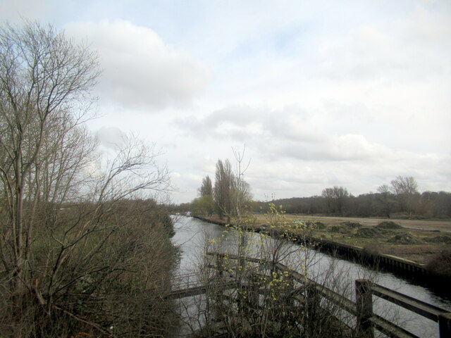
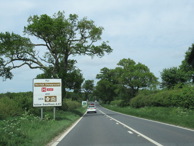
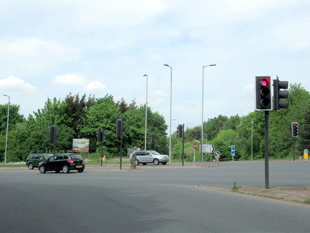
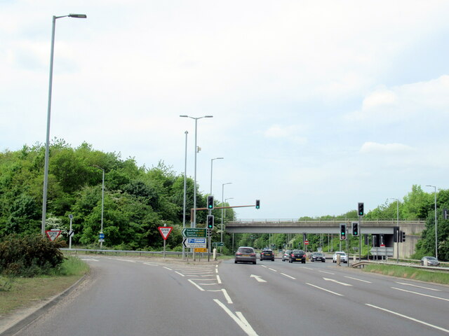
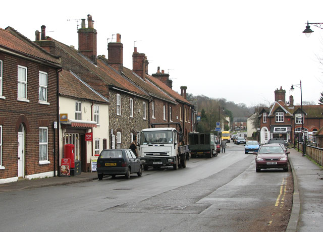
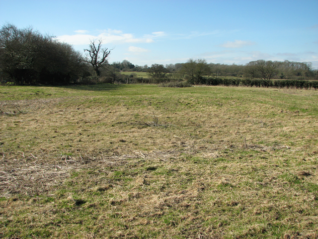
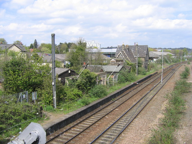
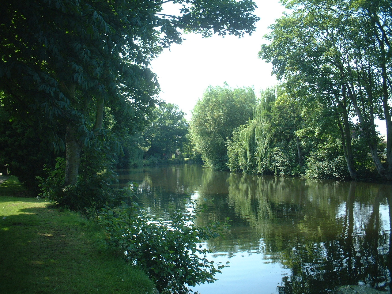
New Wood Images

Images are sourced within 2km of 52.608409/1.3334175 or Grid Reference TG2506. Thanks to Geograph Open Source API. All images are credited.

Neolithic polished flint axe The axe, which measures 135mm x 60mm and about 6,000 years old, was found close to this spot in 1977.
The general location can be seen here <a title="https://www.geograph.org.uk/photo/6946224" href="https://www.geograph.org.uk/photo/6946224">Link</a>
Neolithic polished flint axe
The axe, which measures 135mm x 60mm and about 6,000 years old, was found close to this spot in 1977. The general location can be seen here Link
Field headland A polished neolithic flint axe was found in this field in 1977 <a href="https://www.geograph.org.uk/photo/6946221">TG2605 : Neolithic polished flint axe</a>
Field headland
A polished neolithic flint axe was found in this field in 1977 TG2605 : Neolithic polished flint axe
New Buildings, Geoffrey Watling Way A large area of old industrial buildings is being redeveloped.
Geoffrey Watling was a Norwich businessman and philanthropist, and also former president and chairman of Norwich City football club, whose stadium is a short way behind me.
New Buildings, Geoffrey Watling Way
A large area of old industrial buildings is being redeveloped. Geoffrey Watling was a Norwich businessman and philanthropist, and also former president and chairman of Norwich City football club, whose stadium is a short way behind me.
Building Site, Geoffrey Watling Way Redevelopment of former industrial land near the river.
Building Site, Geoffrey Watling Way
Redevelopment of former industrial land near the river.
Tarmac Trowse Asphalt Plant, Norwich
Stock of Asphalt at Tarmac Trowse, Norwich
The River Yare from Trowse bridge
The B1332 with information sign
The B1332 junction with the A146 approaching Norwich
The A146 joining the A47 at Norwich
The A47 west, 31 miles to Swaffham
Jaguar Jet at Entrance to Norfolk Archive Centre Jaguar GR1 XW563 jet at entrance to Archive. See also <a href="https://www.geograph.org.uk/photo/4166170">TG2307 : The Spirit of Coltishall</a>.
Jaguar Jet at Entrance to Norfolk Archive Centre
Jaguar GR1 XW563 jet at entrance to Archive. See also TG2307 : The Spirit of Coltishall.
Lodge and gates, Trowse Newton North Lodge, former entrance to Whitlingham Hall (<a href="https://www.geograph.org.uk/photo/4769135">TG2506 : Crown Point Hall</a>). By George Devey, c1864.
Lodge and gates, Trowse Newton
North Lodge, former entrance to Whitlingham Hall (TG2506 : Crown Point Hall). By George Devey, c1864.
Solar Farm South of Trowse Newton
Solar Farm
South of Trowse Newton
Substation and pylons
Cycle path beside Martineau Lane (A1054)
Service station on Martineau Lane (A1054)
Railway towards Norwich Station
Show me another place!

New Wood is located at Grid Ref: TG2506 (Lat: 52.608409, Lng: 1.3334175)

Administrative County: Norfolk

District: South Norfolk

Police Authority: Norfolk

What 3 Words

///patrol.poem.torn. Near Thorpe Hamlet, Norfolk

Related Wikis

Bixley

Bixley is a former civil parish now in the parish of Caistor St Edmund and Bixley, in the South Norfolk district of Norfolk, England. According to the...

Trowse

Trowse (pronounced by those from Norwich and by elderly residents of the village), also called Trowse with Newton, is a village in South Norfolk which...

Bixley medieval settlement

Bixley medieval settlement is a deserted medieval village in Norfolk, England, about 2 miles (3.2 km) south-east of Norwich. It is a Scheduled Monument...

Trowse railway station

Trowse was a station on the Great Eastern Main Line that served the village of Trowse in Norfolk, England. It was opened around the same time as Norwich...

Norwich Rowing Club

Norwich Rowing Club is a rowing club on the River Yare based at Whitlingham Boathouses, Whitlingham Lane, Trowse, Norwich and is affiliated to British...

River Wensum

The River Wensum is a chalk river in Norfolk, England and a tributary of the River Yare, despite being the larger of the two rivers. The river is a biological...

Norwich power stations

The Norwich power stations were a sequence of electricity generating stations that provided electric power to the City of Norwich and the wider area between...
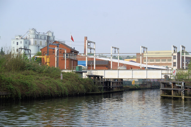
Trowse Bridge

Trowse Bridge is a single-track railway bridge which carries the Great Eastern Main Line over the River Wensum just outside Norwich in England at grid...

Related Videos

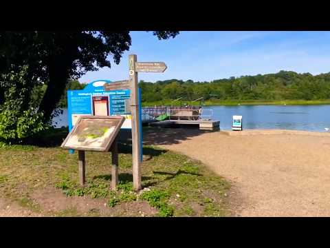
Walking around Whitlingham Country park

Subscribe Now: https://www.youtube.com/c/siddhikids?sub_confirmation=1 Stay Updated! Walking around Whitlingham ...

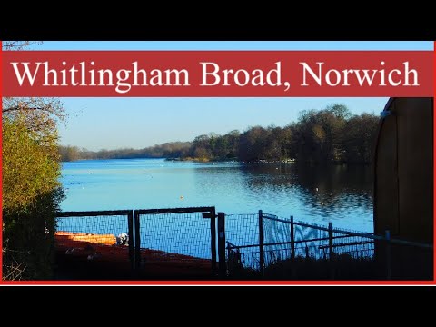
Whitlingham Broad In Norwich #walking #winter #2022

Whitlingham Broad, Norwich A 2 mile circular walking route around the Great Broad. You can sit and watch all the water activities ...

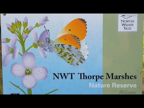
🇬🇧 Scenic Walk S12E24 The Thorpe Marshes Nature Reserve, Norfolk

It's good to ground yourself in nature. Norfolk Wildlife Trust's Thorpe Marshes Nature Reserve was a beautiful place to walk on a ...

Nearby Amenities

Located within 500m of 52.608409,1.3334175
Bixley
Place: hamlet
Lat/Long: 52.6068/1.3308989
Motorway Junction
Trowse Interchange
Lat/Long: 52.610391/1.3283163
Traffic Signals
Lat/Long: 52.6055597/1.3286065
Traffic Signals
Lat/Long: 52.6058315/1.3282812
Traffic Signals
Lat/Long: 52.6054876/1.3285559
Traffic Signals
Lat/Long: 52.6054572/1.3281422
Traffic Signals
Lat/Long: 52.6057472/1.3278567
Traffic Signals
Lat/Long: 52.6054803/1.3282559
Traffic Signals
Lat/Long: 52.6058168/1.3279006
Give Way
Lat/Long: 52.6060619/1.3279845
Barrier: bollard
Lat/Long: 52.6112936/1.3283968
Barrier: block
Bicycle: no
Foot: no
Lat/Long: 52.6065079/1.3276456
Give Way
Lat/Long: 52.6051697/1.3284914
Colour: red and white
Marker: aerial
Utility: gas
Lat/Long: 52.6064862/1.3358507
Colour: grey
Communication Mobile Phone: yes
Man Made: mast
Material: metal
Operator: O2-UK;Vodafone UK
Tower Construction: freestanding
Tower Type: communication
Lat/Long: 52.6109686/1.3299271
The data included in this document is from www.openstreetmap.org. The data is made available under ODbL.

Have you been to New Wood?

Leave your review of New Wood below (or comments, questions and feedback).