Cypress Covert
Wood, Forest in Suffolk East Suffolk
England
Cypress Covert
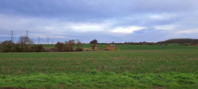
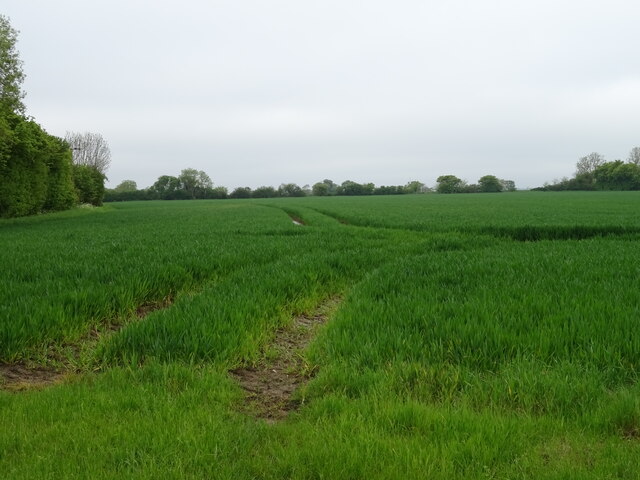
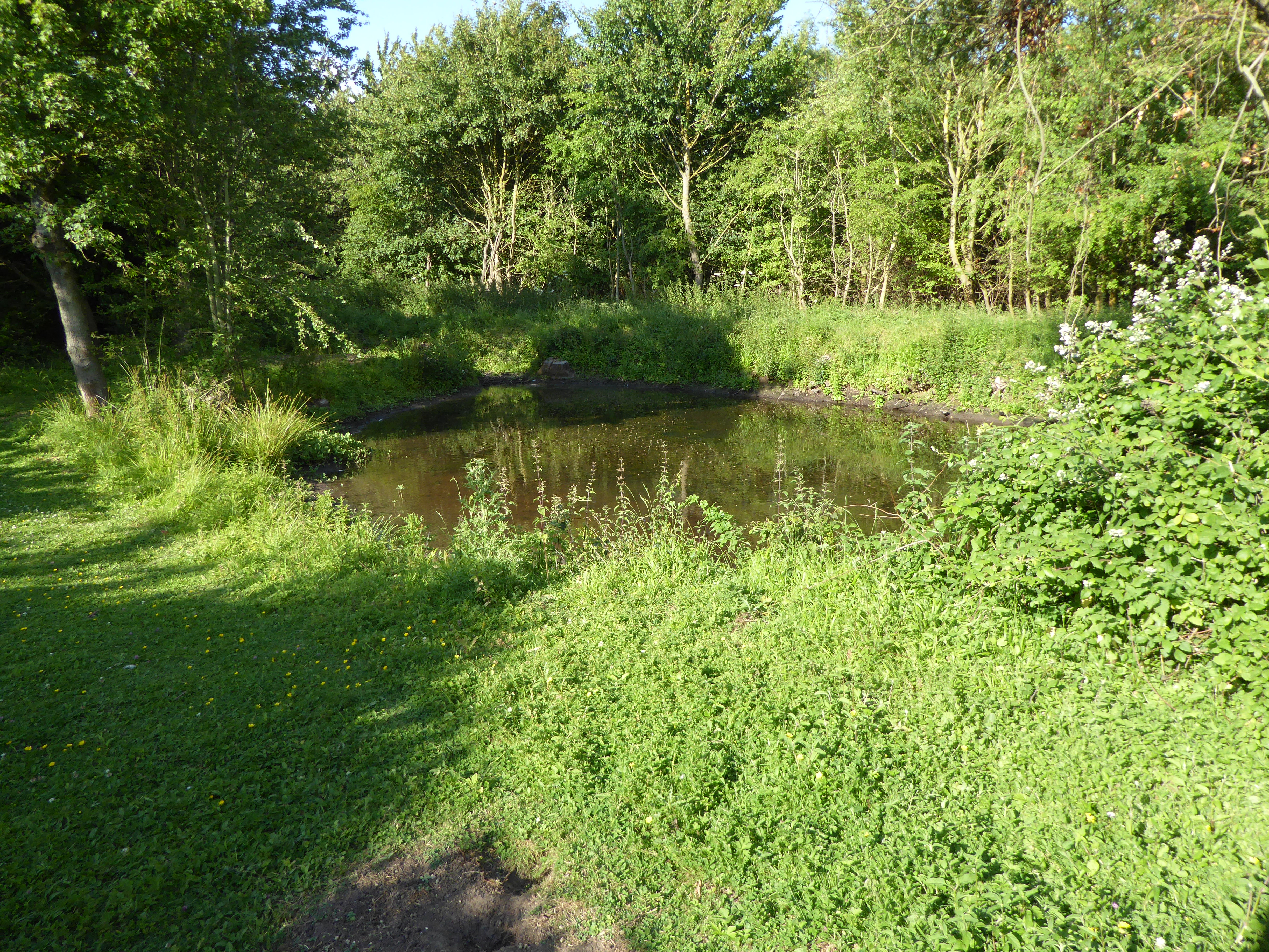
Cypress Covert, located in Suffolk, England, is a remarkable woodland area known for its dense growth of cypress trees. Covering an area of approximately 200 acres, this forest is a haven for nature enthusiasts and those seeking tranquility amidst the beauty of nature. The name "covert" refers to a thick grove or thicket, which perfectly describes the dense vegetation and towering trees that dominate the landscape.
The main attraction of Cypress Covert is undoubtedly the cypress trees, which give the woodland its unique character. These evergreen trees, with their distinctive conical shape and dense foliage, create a stunning visual spectacle throughout the year. The forest floor is carpeted with a rich assortment of woodland flora, including ferns, mosses, and wildflowers, adding to the allure of the surroundings.
The woodland is home to a diverse array of wildlife, making it a haven for nature lovers and photographers alike. Visitors may spot a variety of birds, such as woodpeckers, owls, and thrushes, as well as small mammals like squirrels and hedgehogs. With luck, one might even catch a glimpse of elusive creatures like deer, foxes, or badgers.
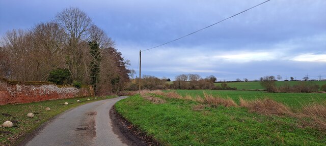
Cypress Covert offers several walking trails, enabling visitors to explore the forest at their leisure. The serene atmosphere and scenic beauty make it an ideal location for picnics, photography, or simply enjoying a peaceful stroll through nature. The woodland is well-maintained, with clear paths and informative signposts, ensuring that visitors can navigate the area easily.
In summary, Cypress Covert in Suffolk is a captivating woodland area renowned for its dense growth of cypress trees. With its enchanting atmosphere, diverse wildlife, and picturesque trails, it provides a perfect escape from the hustle and bustle of everyday life, allowing visitors to immerse themselves in the natural beauty of this Suffolk gem.
If you have any feedback on the listing, please let us know in the comments section below.
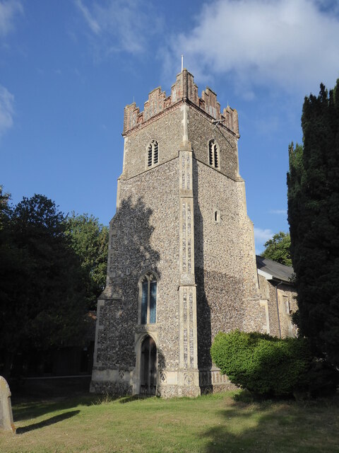
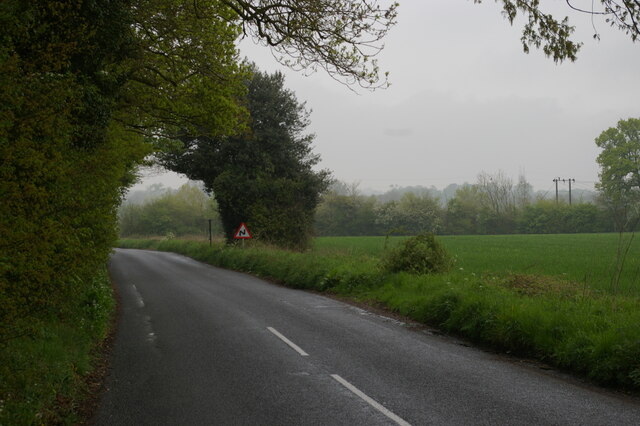
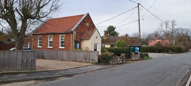
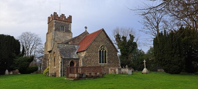
Cypress Covert Images
Images are sourced within 2km of 52.12948/1.2969537 or Grid Reference TM2553. Thanks to Geograph Open Source API. All images are credited.


Cypress Covert is located at Grid Ref: TM2553 (Lat: 52.12948, Lng: 1.2969537)
Administrative County: Suffolk
District: East Suffolk
Police Authority: Suffolk
What 3 Words
///confirms.slant.generals. Near Grundisburgh, Suffolk
Nearby Locations
Related Wikis

Boulge
Boulge is a hamlet and civil parish in the East Suffolk district of Suffolk, England. It is about 3 miles (5 km) north of Woodbridge. The population remained...
Debach
Debach is a small village about four miles northwest of Woodbridge, Suffolk, UK. == History == At the time of the Domesday Book, 1086, it was called Debenbeis...
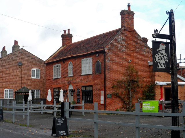
Bredfield
Bredfield is a small village and civil parish in the English county of Suffolk. It is situated just off the A12, two miles north of Woodbridge. Another...
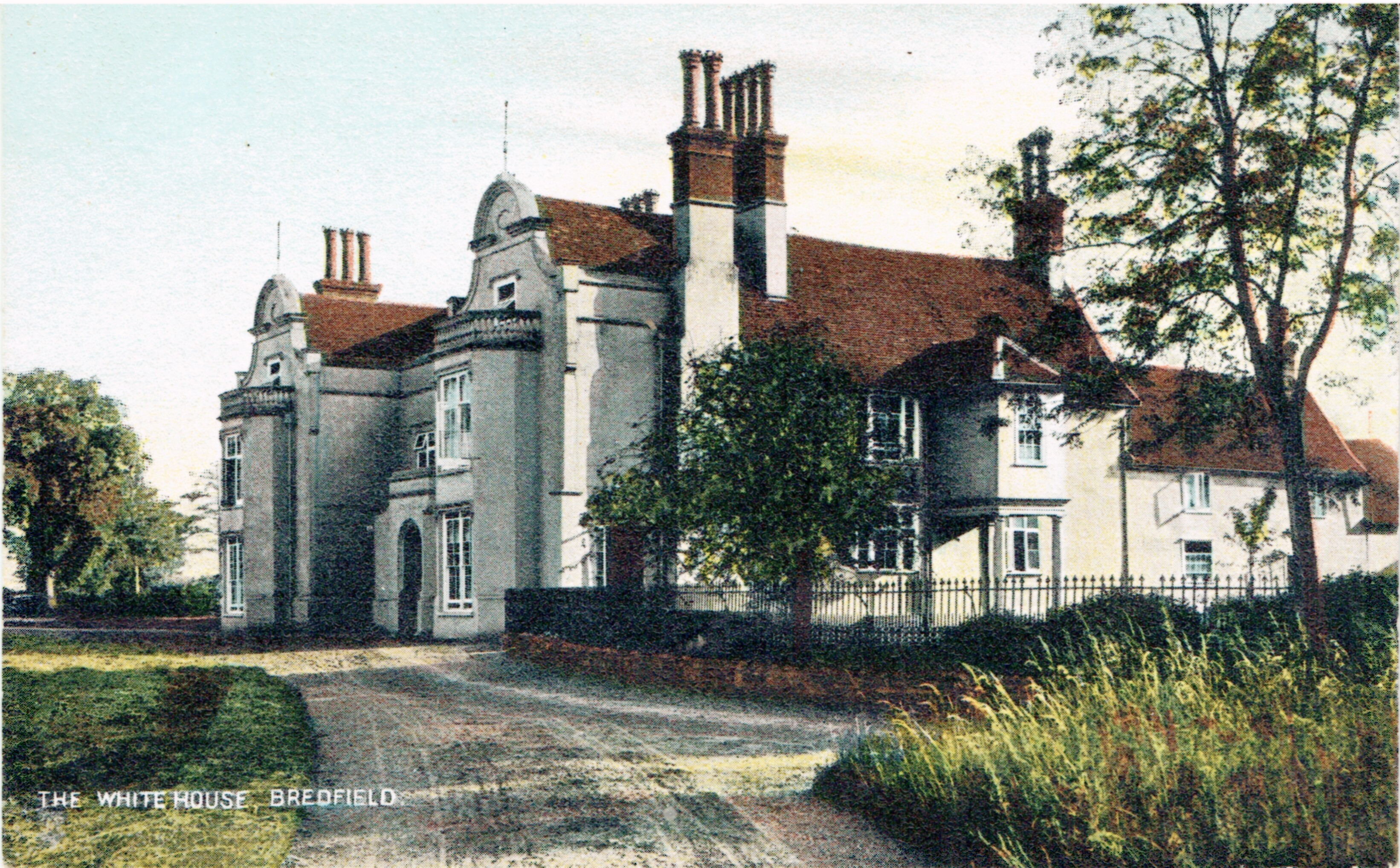
Bredfield House
Bredfield House (or White House as it was also known) was a now-demolished country house situated in the village of Bredfield, around 2 miles north of...
Foxburrow Farm
Foxburrow Farm is a 67 hectare nature reserve north of Melton in Suffolk. It is managed by the Suffolk Wildlife Trust.Part of this site is a working farm...

Dallinghoo
Dallinghoo is a village about three miles (5 km) north of Woodbridge, Suffolk, England. == Location == Dallinghoo is formed from Church Road to the west...
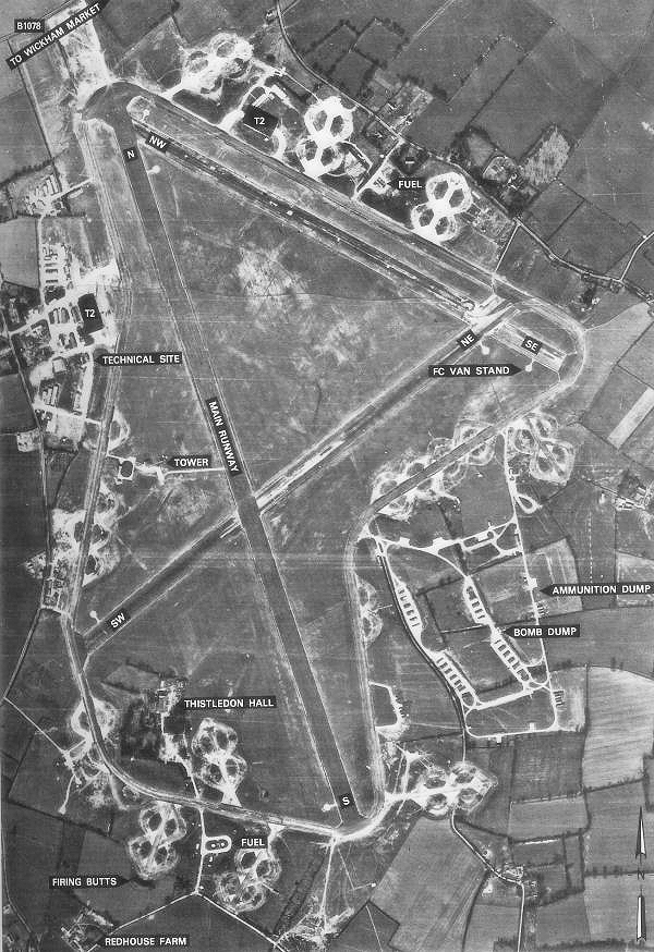
RAF Debach
Royal Air Force Debach or more simply RAF Debach is a former Royal Air Force station located at Debach, 3 miles (4.8 km) northwest of Woodbridge, Suffolk...
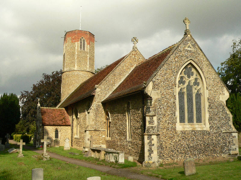
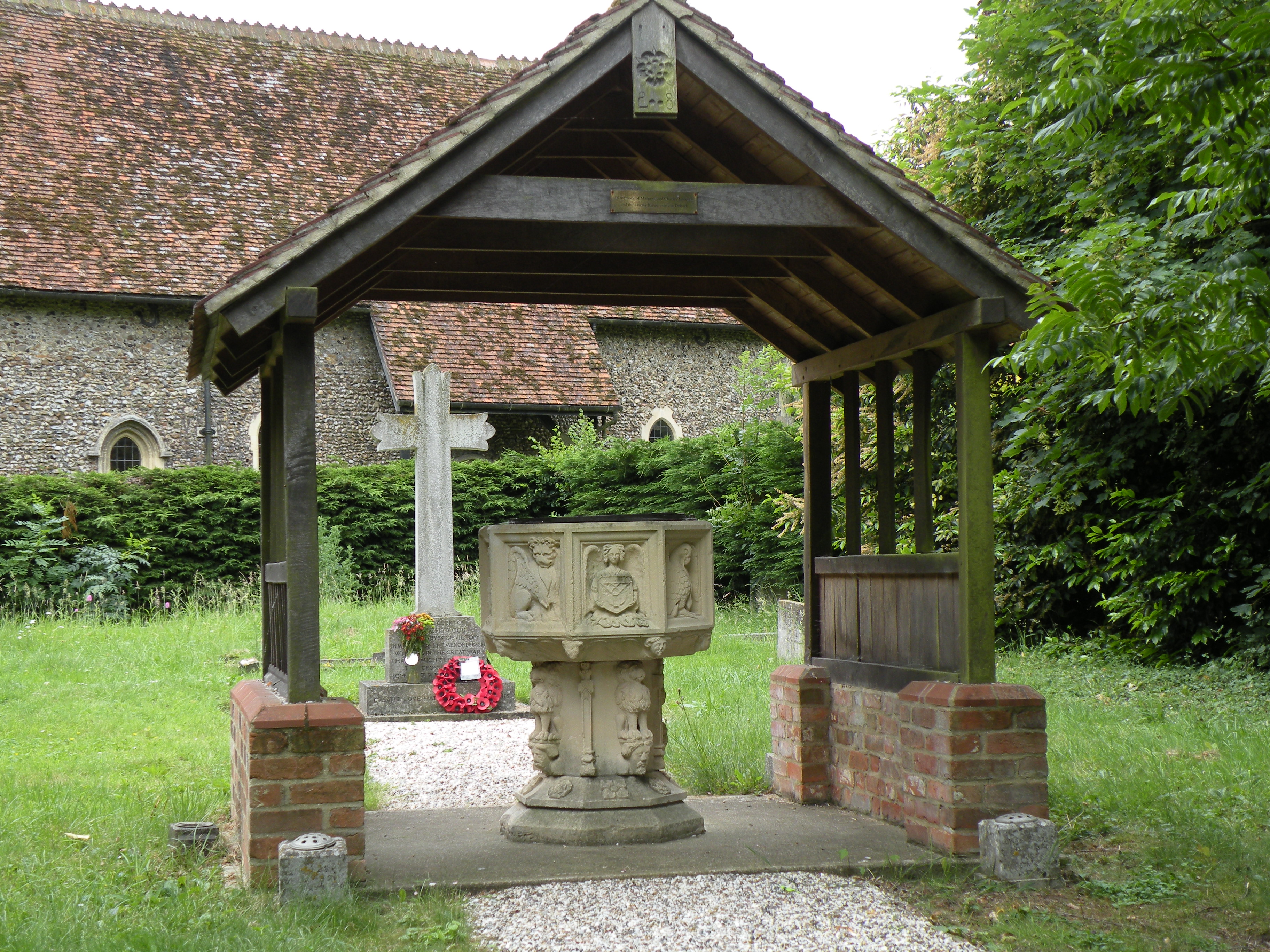
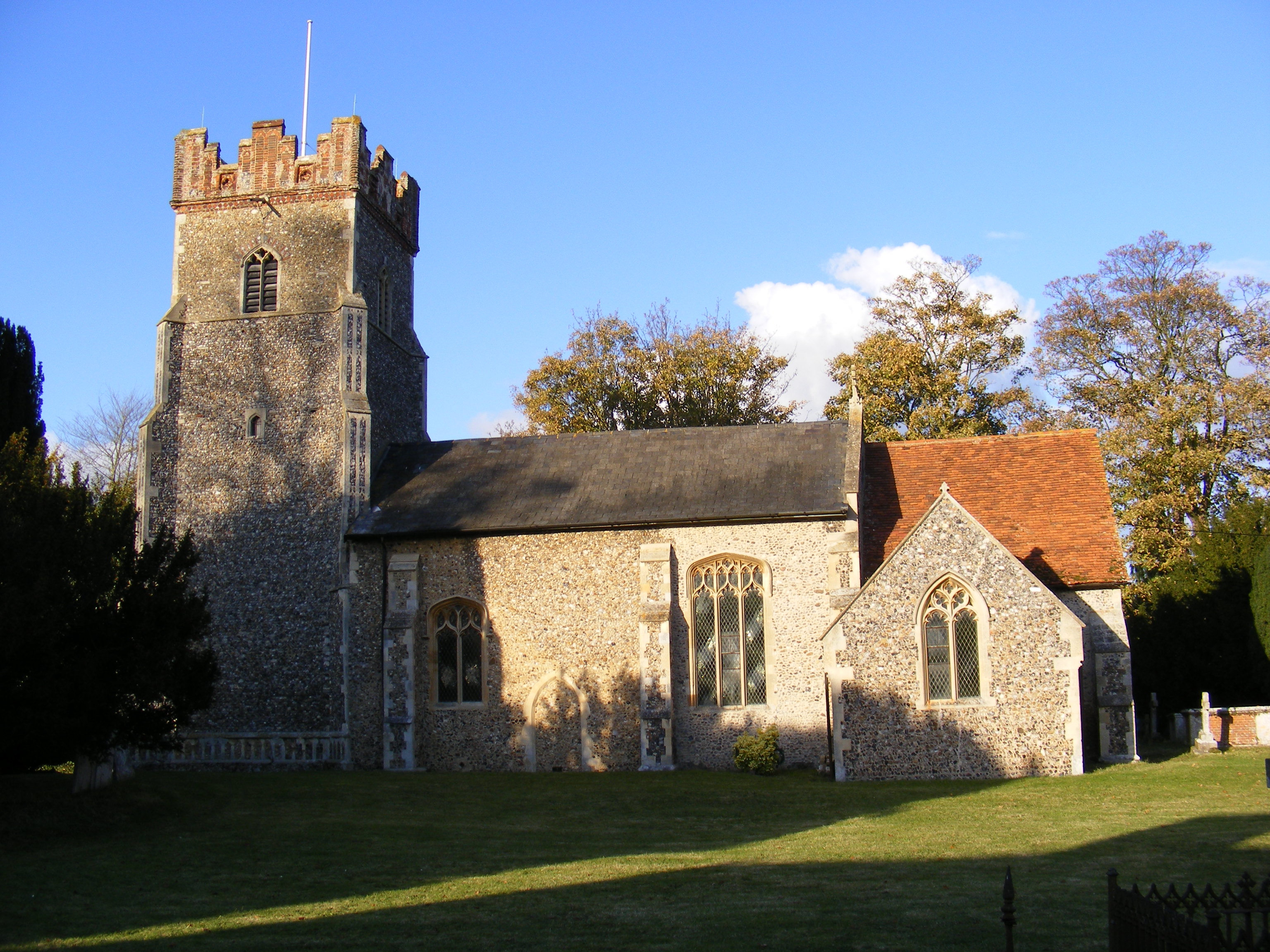
Hasketon
Hasketon is a village and civil parish in the East Suffolk District of Suffolk, England. Its church, St. Andrews, is one of 38 existing round-tower churches...
Nearby Amenities
Located within 500m of 52.12948,1.2969537Have you been to Cypress Covert?
Leave your review of Cypress Covert below (or comments, questions and feedback).