Debach Plantation
Wood, Forest in Suffolk East Suffolk
England
Debach Plantation
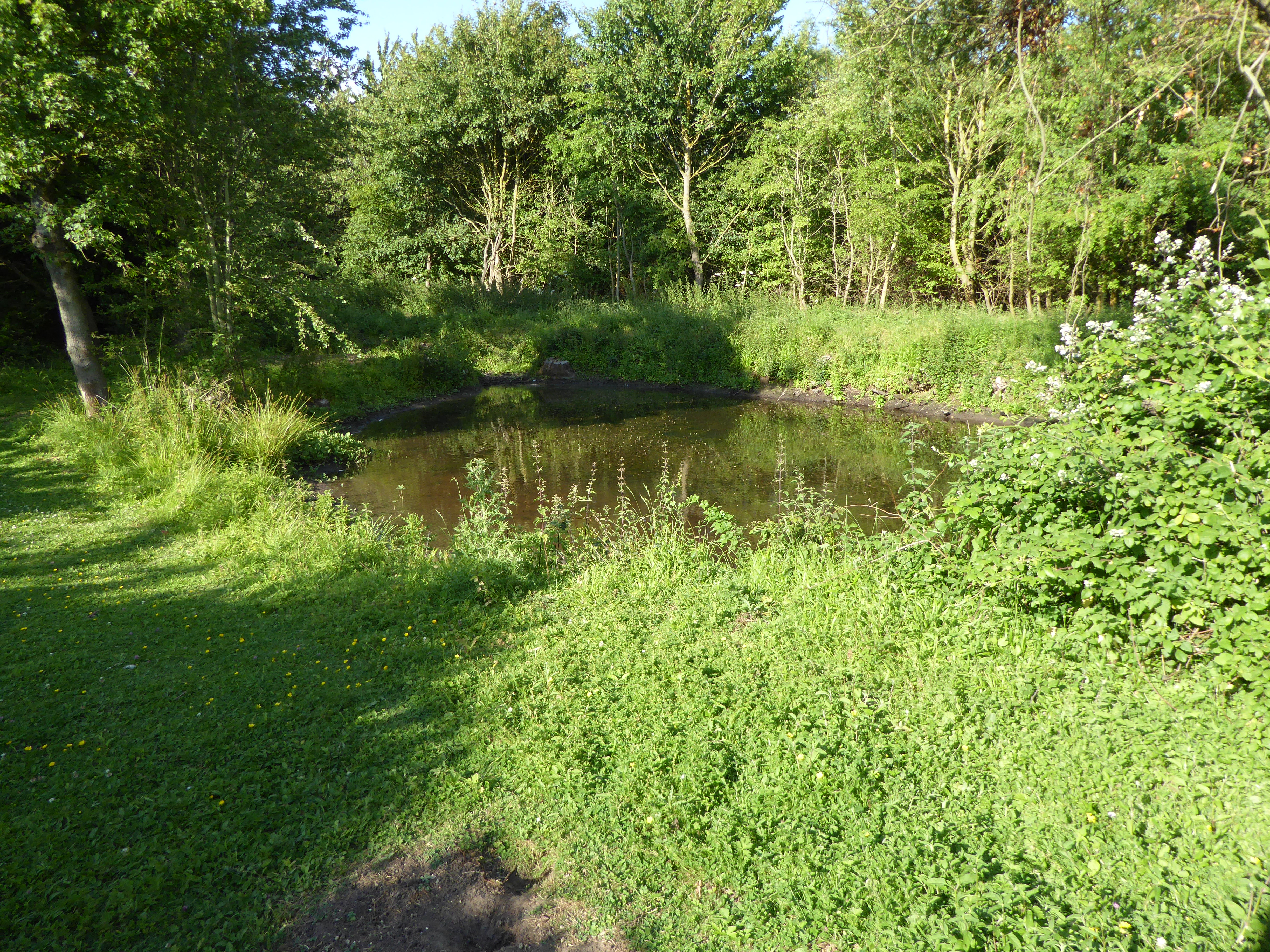
Debach Plantation, located in Suffolk, England, is a picturesque woodland area renowned for its natural beauty and rich history. Covering an expansive area, the plantation is predominantly composed of dense forests and woodlands, creating a diverse ecosystem that supports a wide variety of flora and fauna.
The woodland is home to a myriad of tree species, including oak, beech, and birch, which provide a lush and vibrant canopy overhead. The forest floor is adorned with an array of wildflowers, ferns, and mushrooms, adding to the enchanting atmosphere of the plantation.
The history of Debach Plantation dates back several centuries. Originally used as a hunting ground for nobility, it later became a working plantation, supplying timber for various industries. The remnants of old sawmills and timber yards can still be found scattered throughout the area, serving as a testament to its industrial past.
Today, Debach Plantation is a popular destination for nature enthusiasts and hikers. The plantation boasts several well-maintained walking trails that meander through the woodland, allowing visitors to explore the diverse landscape and observe the abundant wildlife. Deer, foxes, and a plethora of bird species, including woodpeckers and owls, can be spotted in their natural habitats.
With its tranquil atmosphere, breathtaking scenery, and historical significance, Debach Plantation offers a peaceful escape from the hustle and bustle of everyday life, making it a cherished gem in the Suffolk countryside.
If you have any feedback on the listing, please let us know in the comments section below.
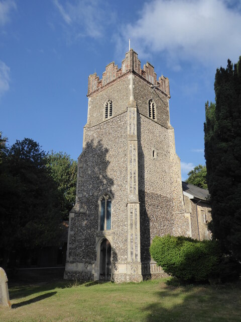
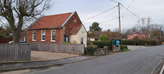
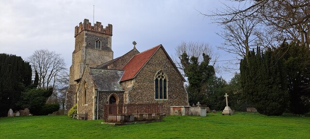
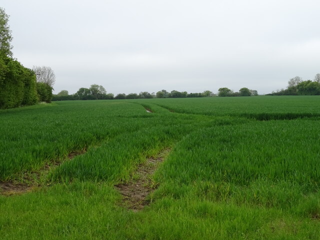
Debach Plantation Images
Images are sourced within 2km of 52.134319/1.2898572 or Grid Reference TM2553. Thanks to Geograph Open Source API. All images are credited.


Debach Plantation is located at Grid Ref: TM2553 (Lat: 52.134319, Lng: 1.2898572)
Administrative County: Suffolk
District: East Suffolk
Police Authority: Suffolk
What 3 Words
///publish.demanding.seriously. Near Grundisburgh, Suffolk
Nearby Locations
Related Wikis
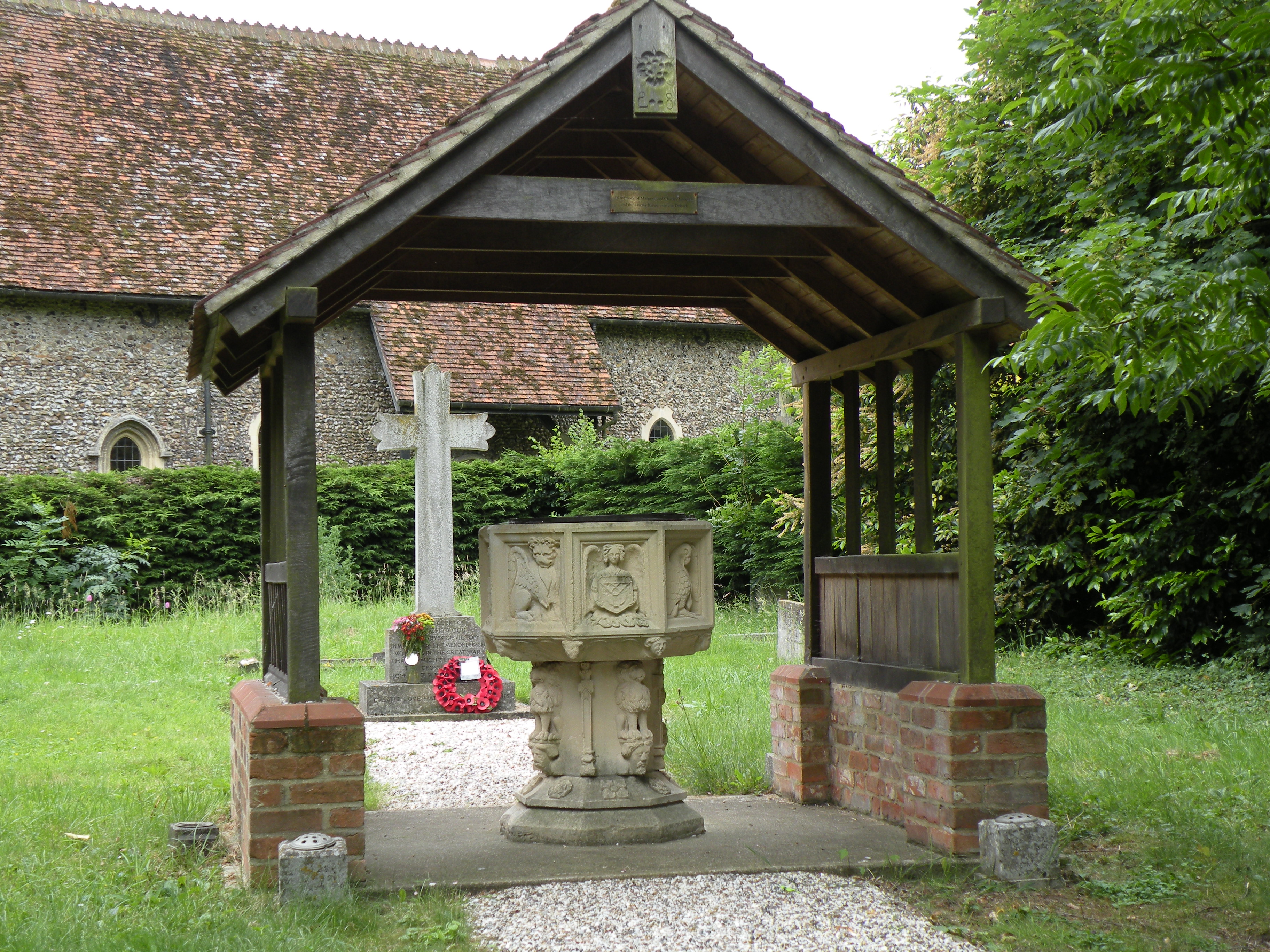
Debach
Debach is a small village about four miles northwest of Woodbridge, Suffolk, UK. == History == At the time of the Domesday Book, 1086, it was called Debenbeis...

Boulge
Boulge is a hamlet and civil parish in the East Suffolk district of Suffolk, England. It is about 3 miles (5 km) north of Woodbridge. The population remained...
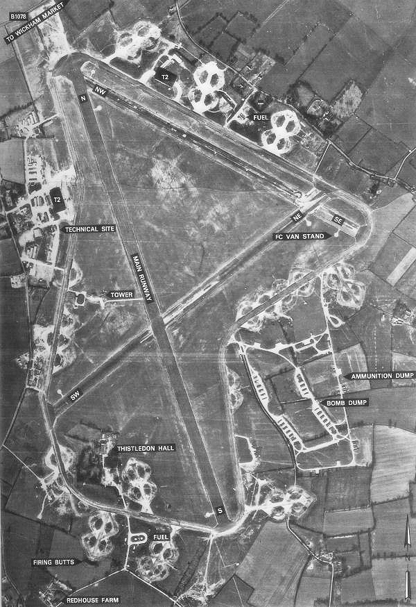
RAF Debach
Royal Air Force Debach or more simply RAF Debach is a former Royal Air Force station located at Debach, 3 miles (4.8 km) northwest of Woodbridge, Suffolk...
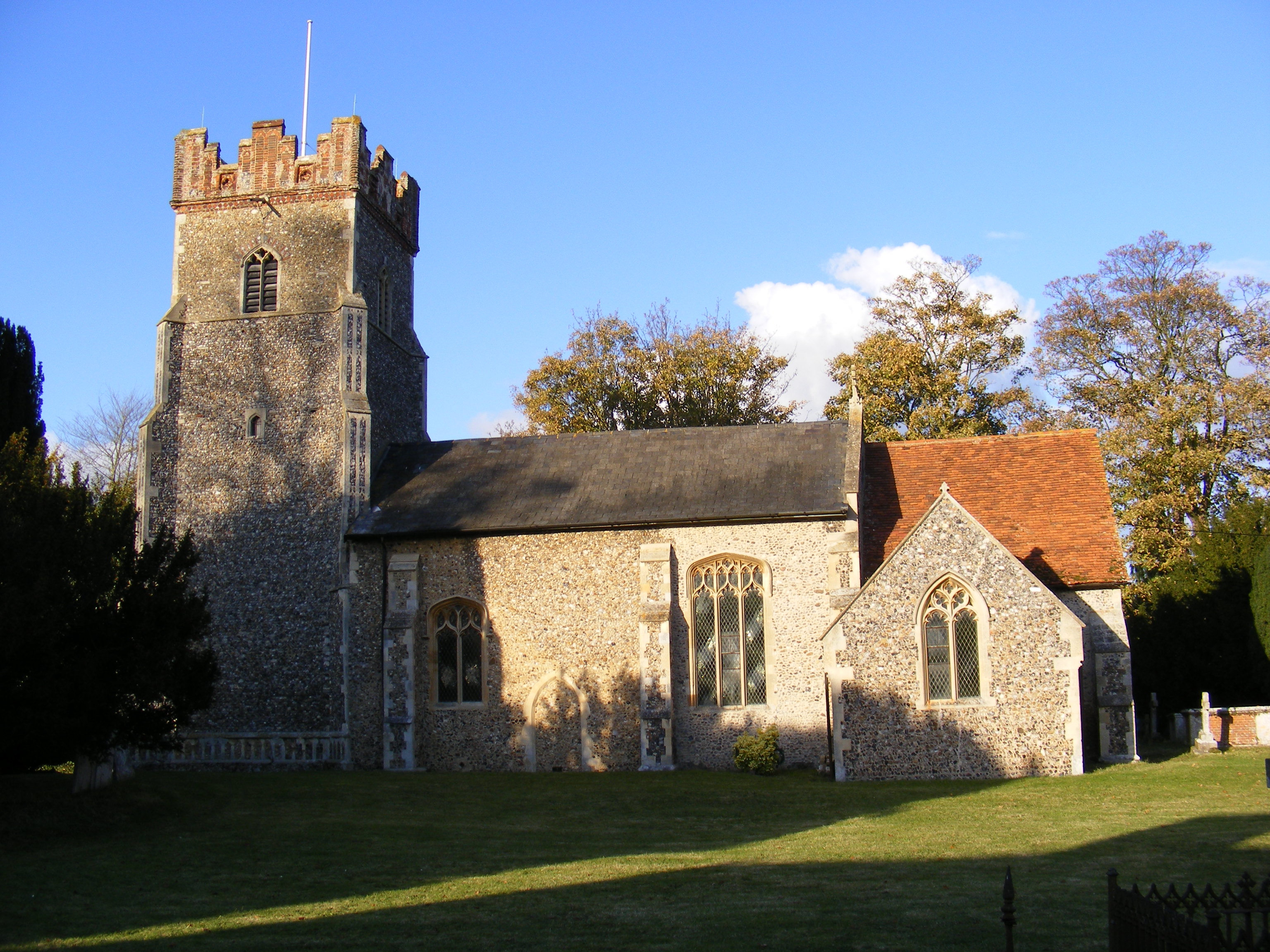
Bredfield
Bredfield is a small village and civil parish in the English county of Suffolk. It is situated just off the A12, two miles north of Woodbridge. Another...

Dallinghoo
Dallinghoo is a village about three miles (5 km) north of Woodbridge, Suffolk, England. == Location == Dallinghoo is formed from Church Road to the west...
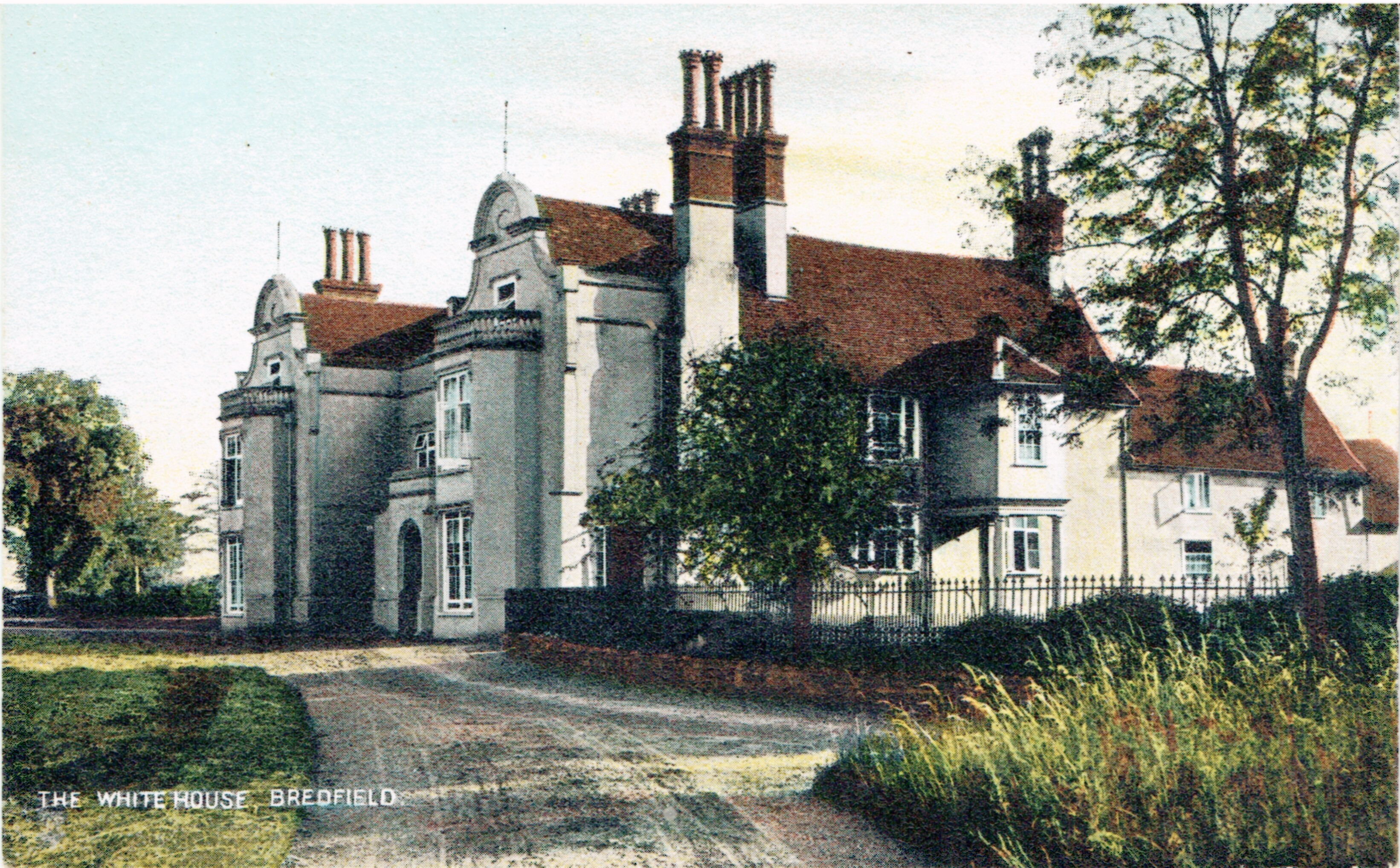
Bredfield House
Bredfield House (or White House as it was also known) was a now-demolished country house situated in the village of Bredfield, around 2 miles north of...
Foxburrow Farm
Foxburrow Farm is a 67 hectare nature reserve north of Melton in Suffolk. It is managed by the Suffolk Wildlife Trust.Part of this site is a working farm...
Hasketon
Hasketon is a village and civil parish in the East Suffolk District of Suffolk, England. Its church, St. Andrews, is one of 38 existing round-tower churches...
Nearby Amenities
Located within 500m of 52.134319,1.2898572Have you been to Debach Plantation?
Leave your review of Debach Plantation below (or comments, questions and feedback).