Lord's Wood
Wood, Forest in Suffolk Mid Suffolk
England
Lord's Wood

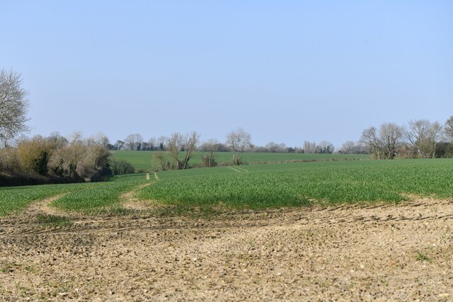
Lord's Wood is a picturesque woodland located in Suffolk, England. Covering an area of approximately 50 acres, this enchanting forest is known for its diverse range of flora and fauna. It is situated in close proximity to the charming village of Suffolk, offering a peaceful retreat for nature enthusiasts and hikers alike.
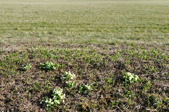
The wood is predominantly made up of deciduous trees, including oak, beech, and hornbeam, creating a rich and vibrant canopy. The forest floor is adorned with various wildflowers such as bluebells and primroses during the spring season, adding bursts of color to the landscape.
Lord's Wood is also home to a wide variety of wildlife. Visitors may be lucky enough to catch a glimpse of deer, foxes, badgers, and numerous bird species that inhabit the area. The tranquil atmosphere and abundance of natural resources make it an ideal habitat for these creatures.
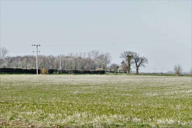
For those looking to explore the wood, a network of well-maintained footpaths and trails meander through the forest, offering visitors the opportunity to immerse themselves in its beauty. These trails cater to all levels of fitness and are suitable for casual strolls or more adventurous hikes.
Lord's Wood is open to the public year-round, providing a perfect escape from the hustle and bustle of everyday life. Whether one seeks solace in nature's serenity or desires a leisurely walk surrounded by ancient trees, Lord's Wood offers an idyllic retreat in the heart of Suffolk.
If you have any feedback on the listing, please let us know in the comments section below.
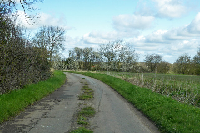
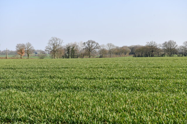
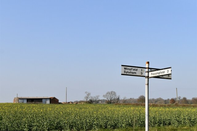
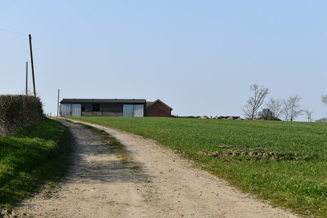
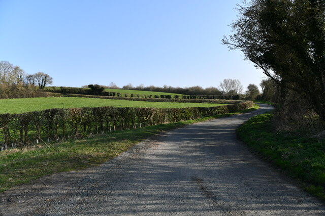
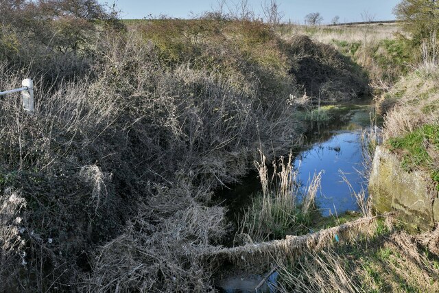
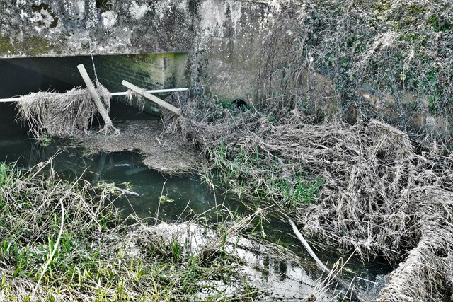
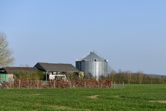
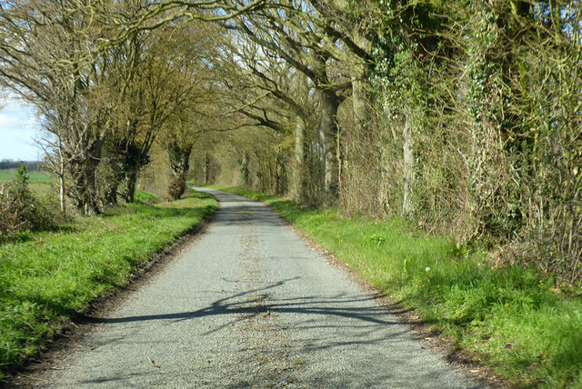
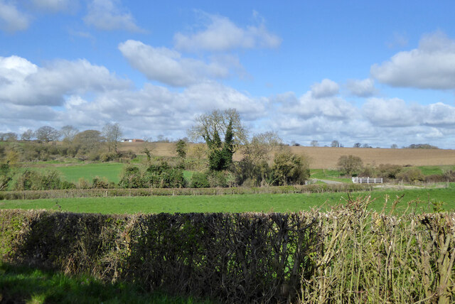
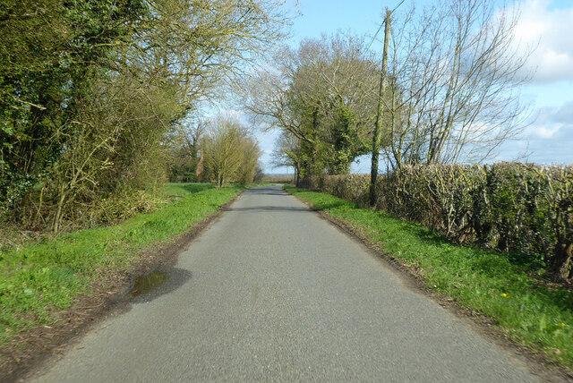
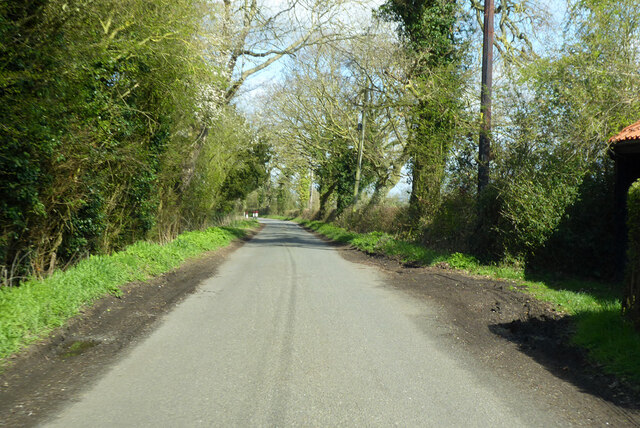
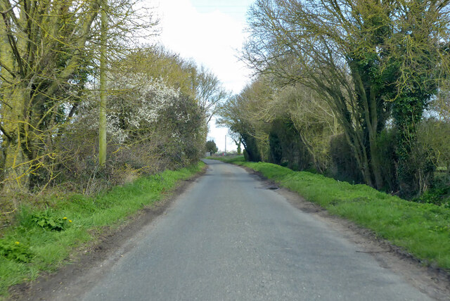
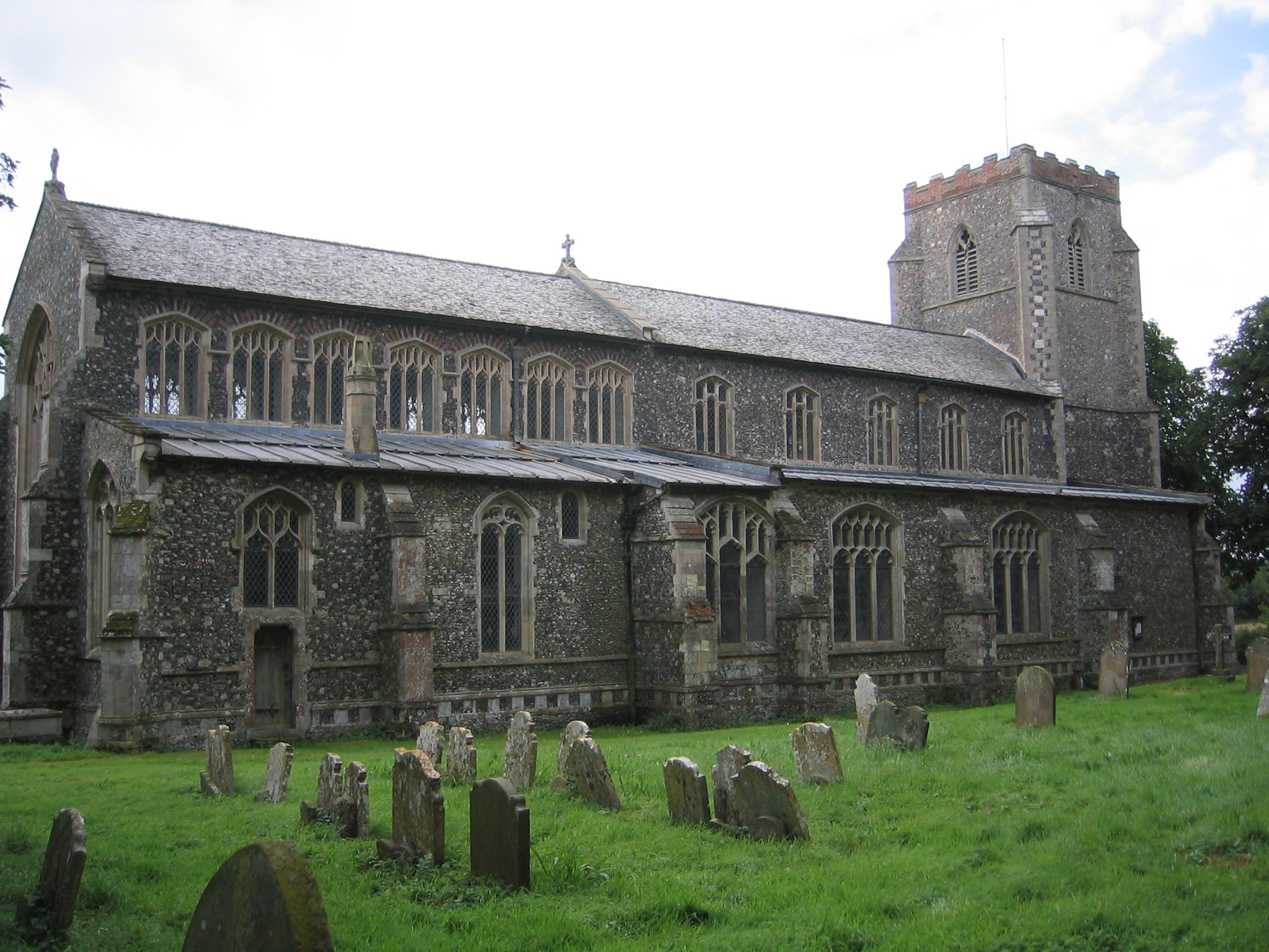
Lord's Wood Images
Images are sourced within 2km of 52.365992/1.2909832 or Grid Reference TM2479. Thanks to Geograph Open Source API. All images are credited.
Lord's Wood is located at Grid Ref: TM2479 (Lat: 52.365992, Lng: 1.2909832)
Administrative County: Suffolk
District: Mid Suffolk
Police Authority: Suffolk
What 3 Words
///dialects.indicated.celebrate. Near Harleston, Norfolk
Nearby Locations
Related Wikis

Weybread
Weybread is a village in Suffolk, England. The population of the village at the 2011 Census was 432.Its church, St. Andrew's, is one of 38 existing round...
Wingfield, Suffolk
Wingfield is a village in the English county of Suffolk. It is found 7 miles (11 km) east of Diss, signposted off B1118, near Eye. Wingfield Castle, which...

Needham, Norfolk
Needham is a small village in Norfolk, England. It covers an area of 4.69 km2 (1.81 sq mi) and had a population of 310 in 129 households at the 2001 census...

Fressingfield
Fressingfield is a village in Suffolk, England, 12 miles (19 km) east of Diss, Norfolk. In 2015 it had a population of 1021, with one shop (a Mace (shop...
Nearby Amenities
Located within 500m of 52.365992,1.2909832Have you been to Lord's Wood?
Leave your review of Lord's Wood below (or comments, questions and feedback).