Weybread Street

Settlement in Suffolk Mid Suffolk

England

Weybread Street

Path along Ocean Pit, Weybread This old pit is now a fishing and leisure lake.
Path along Ocean Pit, Weybread Credit: Roger Jones

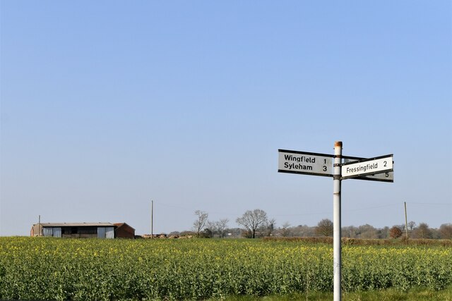
Weybread Street is a charming village located in the county of Suffolk, England. Situated in the scenic Waveney Valley, this idyllic village offers a peaceful retreat for residents and visitors alike. The village is nestled between the towns of Harleston and Bungay, providing easy access to amenities and services.

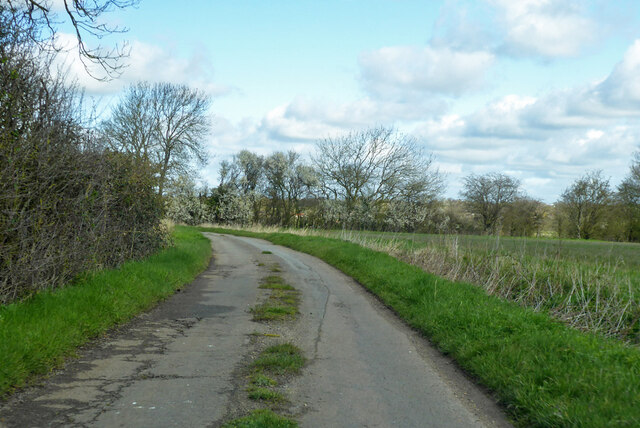
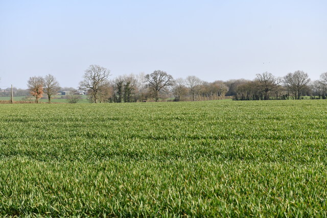
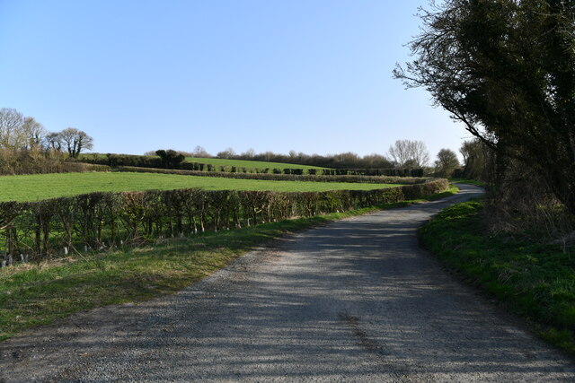
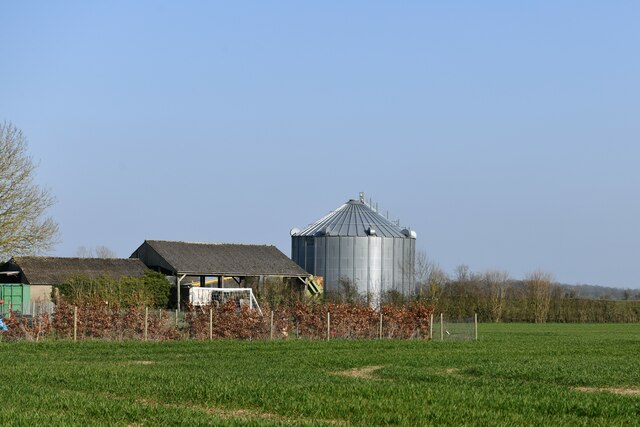
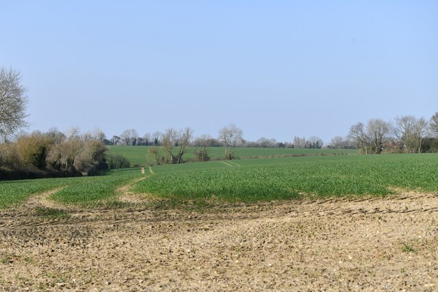
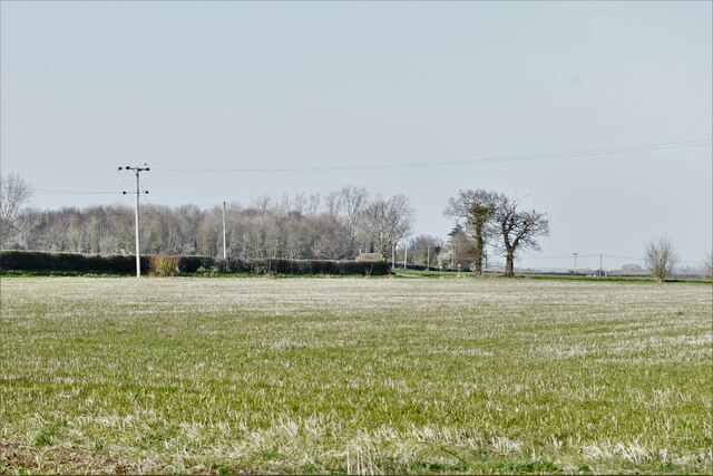
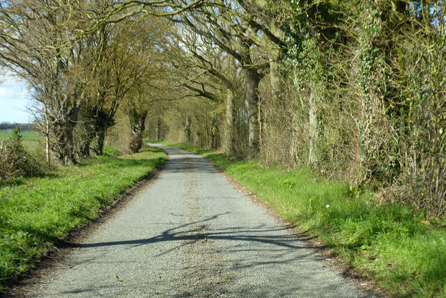
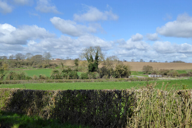
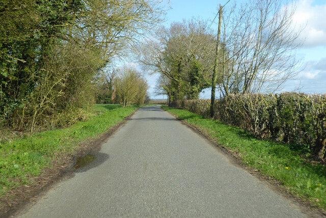
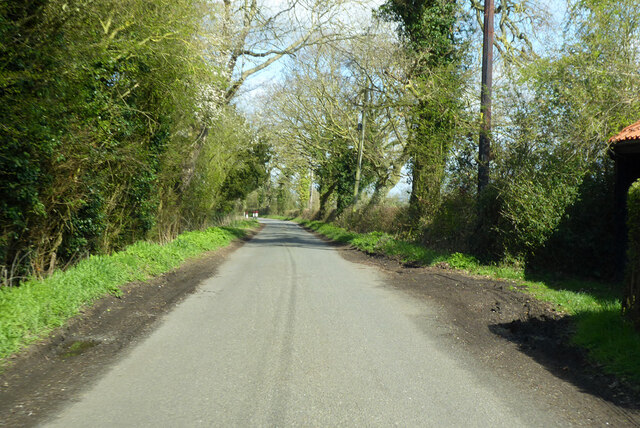
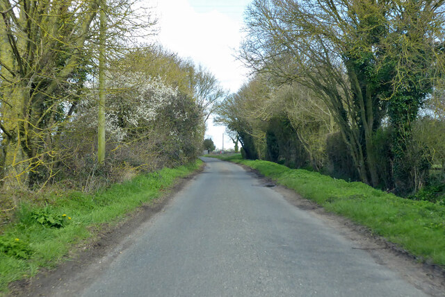
Weybread Street is characterized by its picturesque countryside setting, with rolling green fields and meandering streams. The village is renowned for its natural beauty, attracting outdoor enthusiasts and nature lovers. The area offers numerous walking and cycling trails, allowing visitors to explore the stunning surroundings.

The village itself is small and quaint, with traditional English cottages lining the narrow streets. The architecture reflects the rich history of the area, with some buildings dating back several centuries. The local church, St. Andrew's, is a prominent landmark and serves as a focal point for the community.

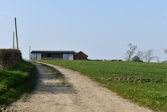
Despite its small size, Weybread Street has a strong sense of community. The village hosts various events and social gatherings throughout the year, bringing residents together. The nearby Weybread Lakes, a popular fishing spot, also attracts visitors from across the region.

For those seeking a tranquil escape, Weybread Street offers a peaceful and scenic retreat in the heart of Suffolk. The village's natural beauty, historical charm, and close-knit community make it a truly special place to visit or call home.

If you have any feedback on the listing, please let us know in the comments section below.

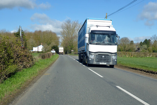
Weybread Street Images

Images are sourced within 2km of 52.37102/1.3015843 or Grid Reference TM2479. Thanks to Geograph Open Source API. All images are credited.

Path along Ocean Pit, Weybread This old pit is now a fishing and leisure lake.
Path along Ocean Pit, Weybread
This old pit is now a fishing and leisure lake.
Mill Lane towards Needham The mill was a water mill on the Waveney. The buildings survive.
Mill Lane towards Needham
The mill was a water mill on the Waveney. The buildings survive.
Wingfield: Crop doing well
Wingfield: Oil seed rape crop
Wingfield: Farm entrance
Fressingfield: Dale Road
Weybread, Dale Bridge: Badly clogged river
Fressingfield, Dale Road: Agricultural buildings and grain silo
Fressingfield, Dale Road: Crop and a large area of bare earth
Weybread, Dale Road: Field grown for grass
B1116 The Street heading north Approaching Weybread on a section of Roman road.
B1116 The Street heading north
Approaching Weybread on a section of Roman road.
Dale Road Towards Earsham Street.  Some maps have Dales Road.
Dale Road
Towards Earsham Street. Some maps have Dales Road.
View from Dale Road towards Dale Bridge The road doglegs round to cross the bridge towards the right.  The bridge is on an apparently unnamed tributary of the Waveney.
View from Dale Road towards Dale Bridge
The road doglegs round to cross the bridge towards the right. The bridge is on an apparently unnamed tributary of the Waveney.
Earsham Street heading north Towards Needham.
Earsham Street heading north
Towards Needham.
Wingfield Road heading north Towards Needham.
Wingfield Road heading north
Towards Needham.
Wingfield Road heading north Towards Needham.
Wingfield Road heading north
Towards Needham.
Show me another place!

Weybread Street is located at Grid Ref: TM2479 (Lat: 52.37102, Lng: 1.3015843)

Administrative County: Suffolk

District: Mid Suffolk

Police Authority: Suffolk

What 3 Words

///backhand.floating.backswing. Near Harleston, Norfolk

Related Wikis

Weybread

Weybread is a village in Suffolk, England. The population of the village at the 2011 Census was 432.Its church, St. Andrew's, is one of 38 existing round...

Mendham Priory

Mendham Priory was a priory in Suffolk, England. == References ==

Withersdale Street

The village of Withersdale Street is located within the rural parish of Mendham, on the Norfolk/Suffolk border, in the Waveney Valley. The village is...

Needham, Norfolk

Needham is a small village in Norfolk, England. It covers an area of 4.69 km2 (1.81 sq mi) and had a population of 310 in 129 households at the 2001 census...

Nearby Amenities

Located within 500m of 52.37102,1.3015843
Bus Stop
Telephone Box
Naptan AtcoCode: 390040233
Naptan Bearing: SE
Naptan CommonName: Telephone Box
Naptan Indicator: opp
Naptan Landmark: Telephone Box
Naptan NaptanCode: sufawjaj
Naptan Street: B1116
Naptan Verified: no
Source: naptan_import
Lat/Long: 52.3699023/1.3036017
Telephone Box
Naptan AtcoCode: 390040234
Naptan Bearing: NW
Naptan BusStopType: CUS
Naptan CommonName: Telephone Box
Naptan Indicator: o/s
Naptan Landmark: Telephone Box
Naptan NaptanCode: sufawjam
Naptan Street: B1116
Naptan Verified: no
Source: naptan_import
Lat/Long: 52.369948/1.3032934
Post Box
Collection Times: Mo-Fr 16:00; Sa 09:30
Post Box Mounting: pier
Post Box Type: lamp
Ref: IP21 7067
Royal Cypher: EIIR
Royal Cypher Wikidata: Q33102113
Lat/Long: 52.3699563/1.3035161
Generator Method: photovoltaic
Generator Output Electricity: yes
Generator Source: solar
Generator Type: solar_photovoltaic_panel
Location: roof
Power: generator
Lat/Long: 52.3717502/1.3078102
Power: pole
Lat/Long: 52.3719524/1.3083668
Power: pole
Lat/Long: 52.3716536/1.307947
Power: pole
Lat/Long: 52.3712802/1.3075528
Power: pole
Lat/Long: 52.3709142/1.3071813
Power: pole
Lat/Long: 52.3696393/1.3074441
Power: pole
Lat/Long: 52.3702141/1.3063927
Power: pole
Lat/Long: 52.3729153/1.3013247
Power: pole
Lat/Long: 52.3743416/1.2986988
Power: pole
Lat/Long: 52.3696246/1.3055089
Power: pole
Lat/Long: 52.3694059/1.3050073
Power: pole
Lat/Long: 52.3691898/1.3044508
Power: pole
Lat/Long: 52.3692454/1.3052541
Power: pole
Lat/Long: 52.3691816/1.3073623
Power: pole
Lat/Long: 52.3698571/1.3061017
Power: pole
Lat/Long: 52.3704622/1.3049617
Power: pole
Lat/Long: 52.3710485/1.303862
Power: pole
Lat/Long: 52.3716315/1.3027489
Power: pole
Lat/Long: 52.3722423/1.3015956
Power: pole
Lat/Long: 52.3728728/1.3004261
Power: pole
Lat/Long: 52.3737071/1.2997864
Power: pole
Lat/Long: 52.3743563/1.2992755
Power: pole
Lat/Long: 52.3750801/1.29868
Fixme: incomplete
Lat/Long: 52.3746421/1.3008727
Weybread Street
Place: hamlet
Lat/Long: 52.3703399/1.3034527
The data included in this document is from www.openstreetmap.org. The data is made available under ODbL.

Have you been to Weybread Street?

Leave your review of Weybread Street below (or comments, questions and feedback).