Little Thorn Plantation
Wood, Forest in Norfolk North Norfolk
England
Little Thorn Plantation

Little Thorn Plantation is a charming and picturesque woodland estate located in Norfolk, England. Situated amidst the lush greenery of the region, the plantation is renowned for its scenic beauty and tranquil ambiance. The estate spans over a vast area, encompassing dense woodlands and sprawling forests that are home to a diverse range of flora and fauna.
The plantation is characterized by its abundance of thorn trees, which lend an enchanting touch to its landscape. These trees, with their intricate branches and vibrant foliage, create a magical atmosphere that is truly unique to Little Thorn Plantation. The forest floor is carpeted with a rich layer of moss and wildflowers, adding to the natural beauty of the surroundings.
Little Thorn Plantation offers a haven for nature lovers and outdoor enthusiasts. Its extensive network of walking trails and footpaths allows visitors to explore the plantation at their own pace, immersing themselves in the serene environment. These trails wind through the woods, leading to hidden clearings and secluded spots, perfect for picnics or simply enjoying the peaceful ambiance.
The plantation is also home to a variety of wildlife, including deer, foxes, and a myriad of bird species. Birdwatchers will find themselves delighted by the opportunity to observe and identify various feathered residents that inhabit the woodland.
Overall, Little Thorn Plantation is a haven for those seeking solace in nature. Its breathtaking woodland scenery, diverse wildlife, and tranquil atmosphere make it a perfect destination for nature lovers and anyone looking to escape the hustle and bustle of everyday life.
If you have any feedback on the listing, please let us know in the comments section below.
Little Thorn Plantation Images
Images are sourced within 2km of 52.896434/1.3078639 or Grid Reference TG2238. Thanks to Geograph Open Source API. All images are credited.


Little Thorn Plantation is located at Grid Ref: TG2238 (Lat: 52.896434, Lng: 1.3078639)
Administrative County: Norfolk
District: North Norfolk
Police Authority: Norfolk
What 3 Words
///method.static.transmitted. Near Overstrand, Norfolk
Nearby Locations
Related Wikis
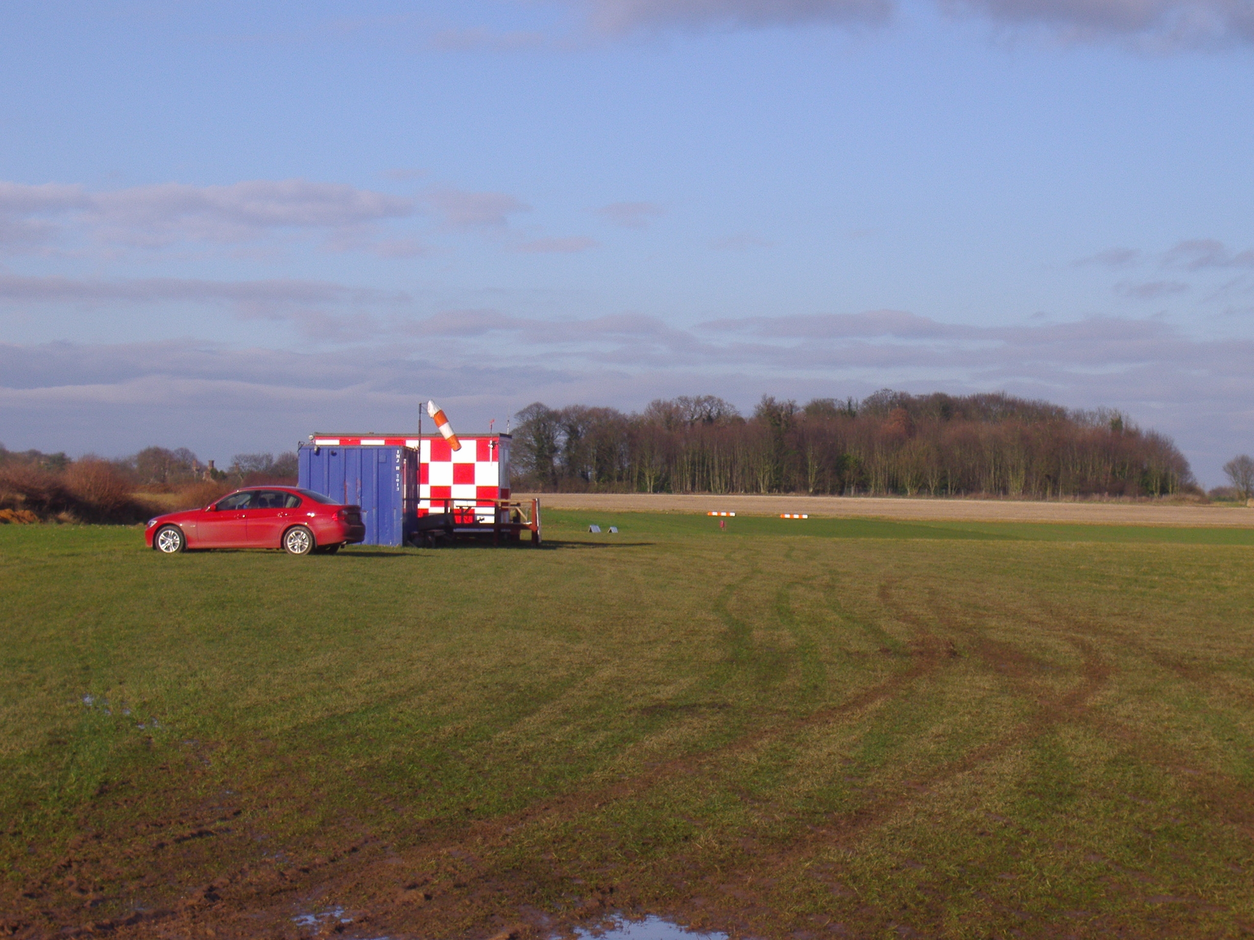
Northrepps Aerodrome
Northrepps Aerodrome is a privately owned airfield south west of the village of Northrepps, North Norfolk, England approximately 3 mi (4.8 km) south-south...
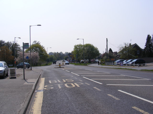
Roughton, Norfolk
Roughton is a village and a civil parish in the English county of Norfolk. The village is 3.7 miles (6.0 km) south of Cromer, 19.6 miles (31.5 km) north...

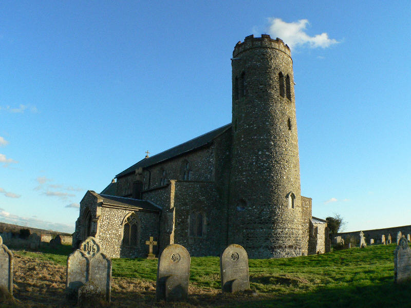
Northrepps
Northrepps is a village and a civil parish in the English county of Norfolk. It is 3.4 miles (5.5 km) southeast of Cromer, 22.2 miles (35.7 km) north of...
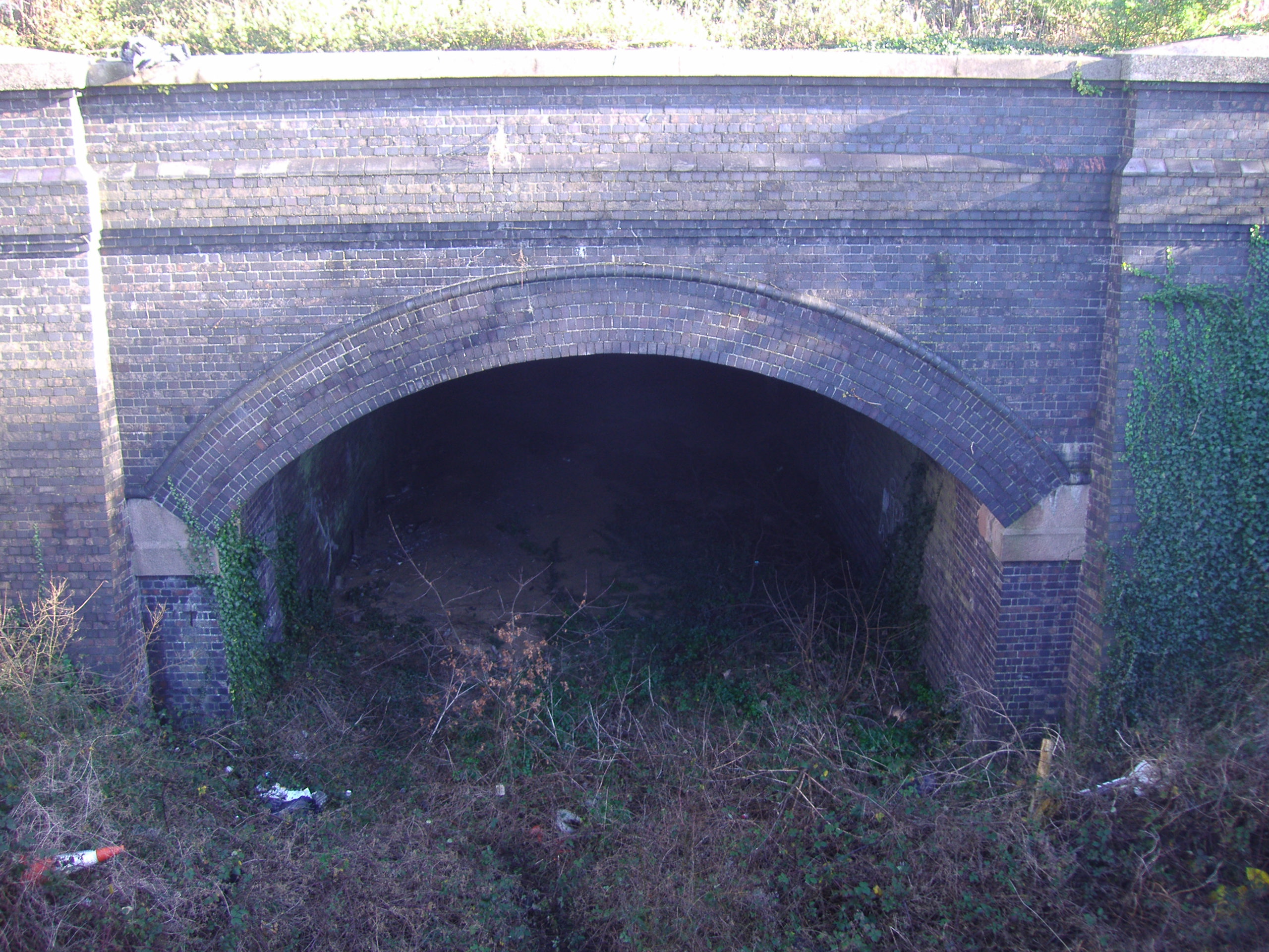
Cromer Tunnel
The Cromer Tunnel was built by the Norfolk and Suffolk Joint Railway to take their Cromer Beach to Mundesley line under the Great Eastern's Cromer High...

Felbrigg
Felbrigg is a village and civil parish in the English county of Norfolk. The village is 1.7 miles (2.7 km) south-west of Cromer and 20 miles (32 km) north...
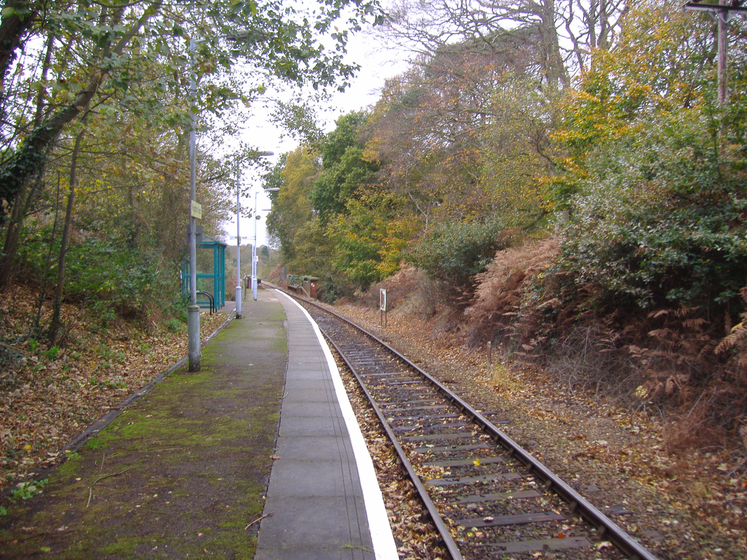
Roughton Road railway station
Roughton Road railway station is on the Bittern Line in Norfolk, England, on the outskirts of the town of Cromer. It takes its name from the street on...
Thorpe Market
Thorpe Market is a village in the English county of Norfolk. The village is 4.4 miles south of Cromer, and 20.5 miles north of Norwich. The nearest railway...

Frogshall
Frogshall is a small hamlet within the civil parish of Northrepps in the English county of Norfolk. The hamlet is 5.2 miles (8.4 km) southeast of Cromer...
Nearby Amenities
Located within 500m of 52.896434,1.3078639Have you been to Little Thorn Plantation?
Leave your review of Little Thorn Plantation below (or comments, questions and feedback).