Church Plantation
Wood, Forest in Norfolk South Norfolk
England
Church Plantation
The requested URL returned error: 429 Too Many Requests
If you have any feedback on the listing, please let us know in the comments section below.
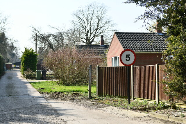
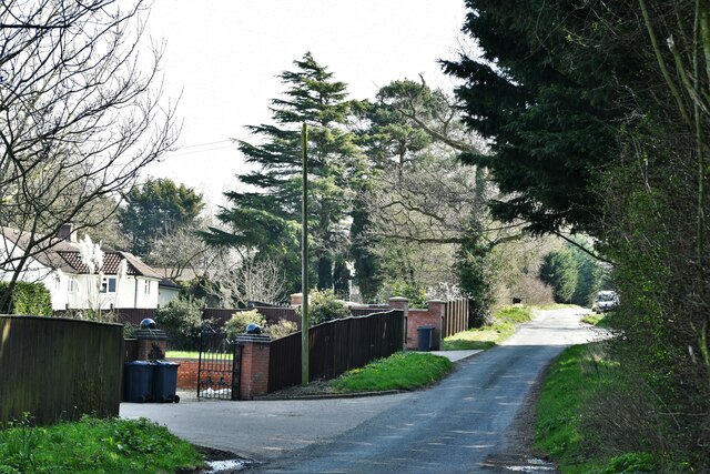
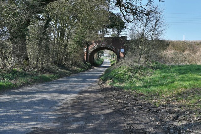
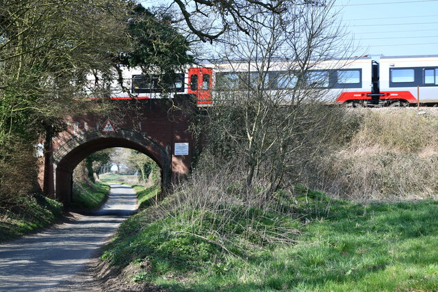
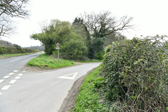
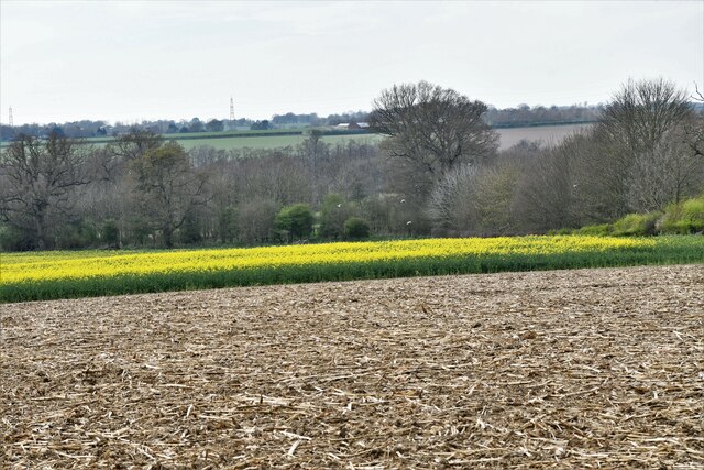
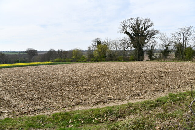
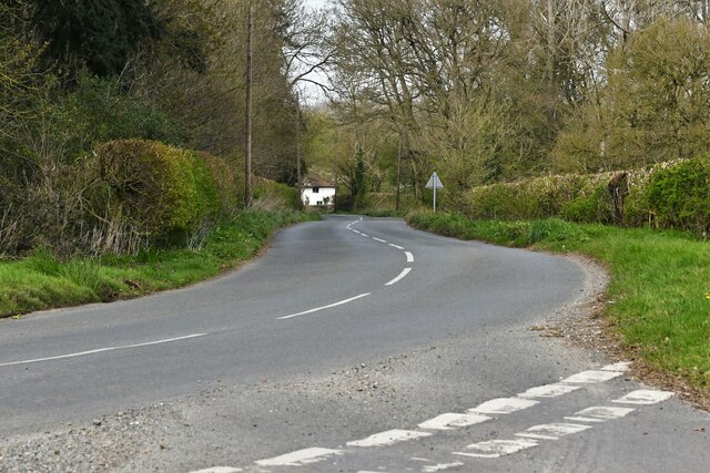
Church Plantation Images
Images are sourced within 2km of 52.556633/1.2819437 or Grid Reference TG2200. Thanks to Geograph Open Source API. All images are credited.


Church Plantation is located at Grid Ref: TG2200 (Lat: 52.556633, Lng: 1.2819437)
Administrative County: Norfolk
District: South Norfolk
Police Authority: Norfolk
What 3 Words
///goat.crank.revives. Near Mulbarton, Norfolk
Nearby Locations
Related Wikis

Swainsthorpe
Swainsthorpe is a village in Norfolk, England. It lies on the A140 road, approximately 5 miles south of Norwich, and just north of Newton Flotman. It covers...
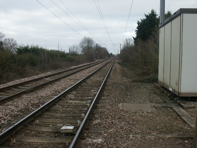
Swainsthorpe railway station
Swainsthorpe was a railway station in Swainsthorpe, England, around five miles south of Norwich. It was opened in 1850 when the Great Eastern Railway constructed...

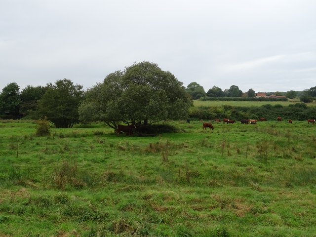
Shotesham Common
Shotesham Common is a 21.6-hectare (53-acre) biological Site of Special Scientific Interest south of Norwich in Norfolk.This site consists of traditionally...

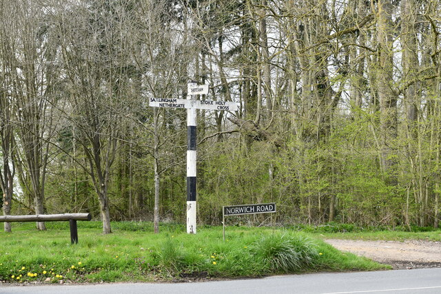
Stoke Holy Cross
Stoke Holy Cross is a village in South Norfolk which lies approximately 4 miles (6.4 km) south of Norwich. == Geography == Stoke sits on the River Tas...
Have you been to Church Plantation?
Leave your review of Church Plantation below (or comments, questions and feedback).