Lady's Grove
Wood, Forest in Norfolk Broadland
England
Lady's Grove
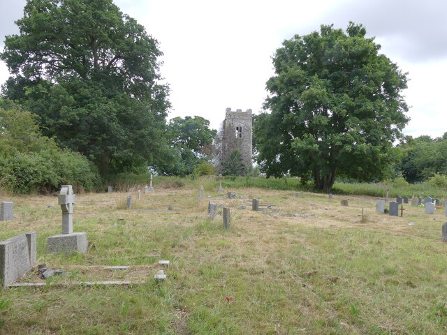
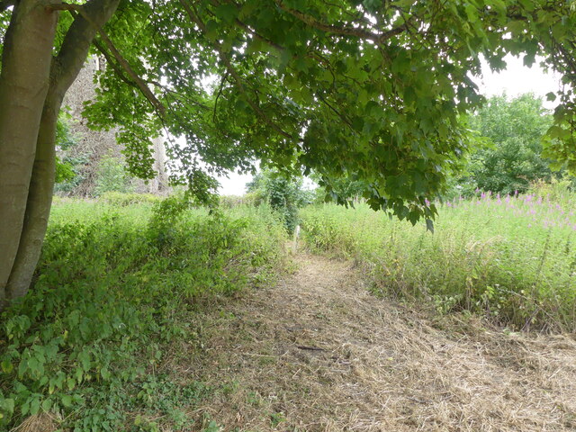
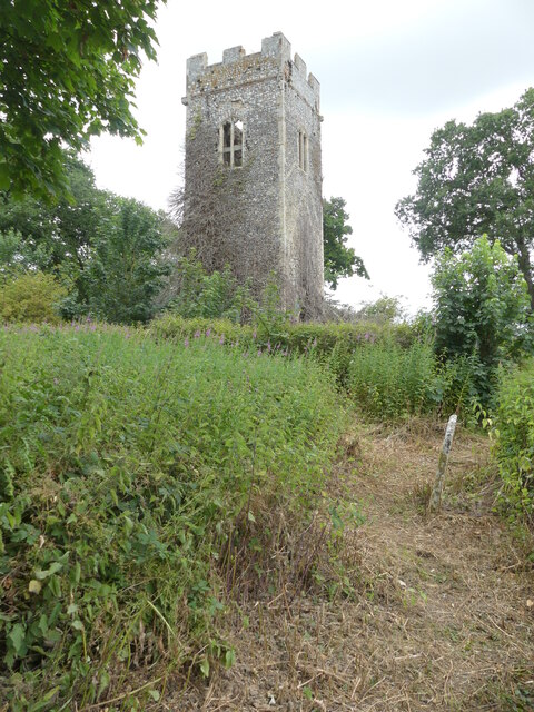
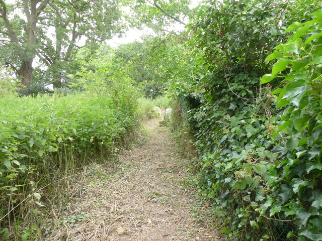
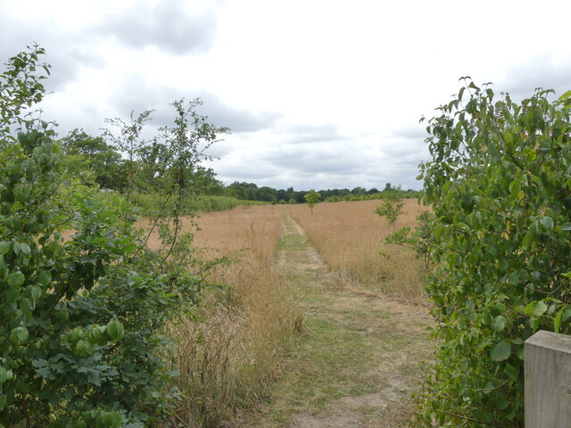
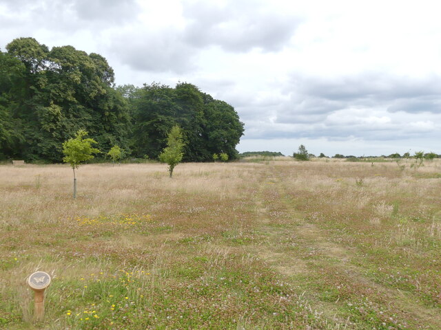
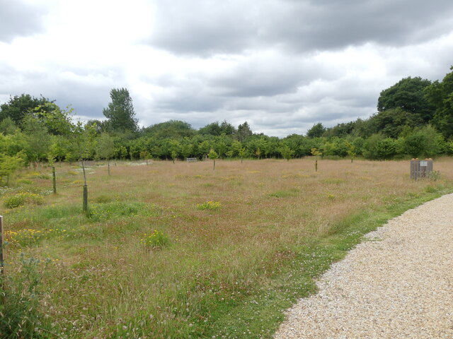
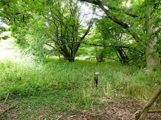
Lady's Grove, located in Norfolk, England, is a picturesque woodland area known for its serene ambiance and natural beauty. Spread across a vast expanse, this enchanting grove is home to a diverse range of trees, flora, and fauna, making it a haven for nature lovers and outdoor enthusiasts.
The grove is named after Lady Grove, a prominent figure in the region's history. It is believed that she once owned the land and played a vital role in preserving its natural charm. Today, Lady's Grove stands as a testament to her legacy and dedication to conservation.
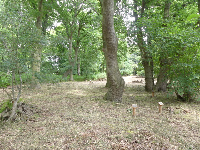
The woodlands of Lady's Grove are predominantly composed of native tree species, including oak, beech, and birch. These majestic trees provide a lush canopy that filters sunlight, creating a gentle and temperate environment below. The forest floor is adorned with a vibrant carpet of wildflowers, ferns, and mosses, adding a touch of color and texture to the landscape.
The grove is a sanctuary for various wildlife species. Visitors may catch a glimpse of deer gracefully wandering through the trees or hear the melodic songs of birds echoing through the forest. Squirrels playfully scurrying up and down the trunks of trees are a common sight, adding a delightful charm to the woodland experience.
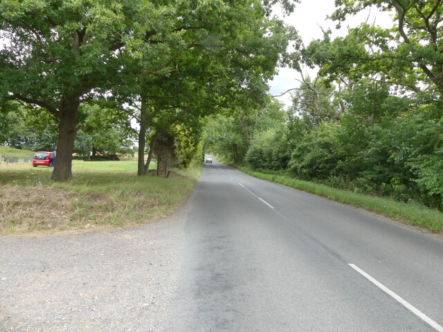
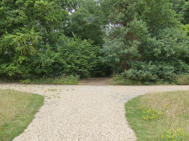
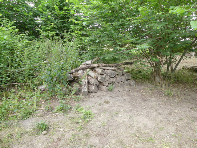
Lady's Grove offers a range of recreational activities for visitors. Walking trails wind their way through the woods, providing opportunities for leisurely strolls or invigorating hikes. The stunning scenery also makes the grove a popular spot for picnics, photography, and nature observation.
In conclusion, Lady's Grove in Norfolk is a captivating woodland area that showcases the beauty of nature. With its diverse flora and fauna, tranquil atmosphere, and recreational opportunities, it is a cherished destination for those seeking solace in the natural world.
If you have any feedback on the listing, please let us know in the comments section below.
Lady's Grove Images
Images are sourced within 2km of 52.72902/1.2946338 or Grid Reference TG2219. Thanks to Geograph Open Source API. All images are credited.
Lady's Grove is located at Grid Ref: TG2219 (Lat: 52.72902, Lng: 1.2946338)
Administrative County: Norfolk
District: Broadland
Police Authority: Norfolk
What 3 Words
///invented.major.wheat. Near Buxton, Norfolk
Nearby Locations
Related Wikis

Hainford
Hainford (originally Haynford) is a village and civil parish in the English county of Norfolk. It covers an area of 6.94 km2 (2.68 sq mi) and had a population...

Stratton Strawless
Stratton Strawless is a village in the county of Norfolk and district of Broadland. The civil parish covers 714 acres (289 ha) and has a population of...

Buxton, Norfolk
Buxton is a village in the parish of Buxton with Lamas, in the Broadland district of the county of Norfolk, England. It is located between Norwich and...

St Faith's and Aylsham Rural District
St Faith's and Aylsham Rural Districts were adjacent rural districts in Norfolk, England from 1894 to 1935.They were formed under the Local Government...

Hevingham
Hevingham is a village and civil parish in the Broadland district of the English county of Norfolk. Situated between the A140 road Norwich to Cromer road...

Frettenham Windmill
Frettenham Mill is a Grade II listed tower mill at Frettenham, Norfolk, England which has been converted to residential accommodation. == History == Frettenham...

Horstead Hall
Horstead Hall was a country house in Norfolk that was demolished in the 1950s. The village of Horstead in the county of Norfolk is not short of country...

Frettenham
Frettenham is a village and civil parish in the English county of Norfolk. It is located 3.2 miles (5.1 km) west of Wroxham, and 5.7 miles (9.2 km) north...
Related Videos

Which way shall we go on our walk today? #dogs #dog #dogwalk
This week the warm sunny weather has meant that the farmers have been busy harvesting in North Norfolk and the countryside is ...

A former holiday property I filmed 5 years ago #holidays #countryside #rural
A former holiday property I filmed 5 years ago #holidays #countryside #rural No longer rented out. A friends property.

Am I really that predictable #weimaraner #dogs
Our dogs even the Weimarner have got into the habit of stopping and waiting when they think we are about to turn around and ...
Teckle loves climbing! and using that nose! #dog #wirehaireddachshund #teckle
Beautiful dog walk this morning upto the river. Burevalley, Buxton carpark was great for our camper. Albert loved climbing the logs ...
Nearby Amenities
Located within 500m of 52.72902,1.2946338Have you been to Lady's Grove?
Leave your review of Lady's Grove below (or comments, questions and feedback).