Fretherne

Settlement in Gloucestershire Stroud

England

Fretherne

Saul church I wonder if this village used to be called Paul... shame it's not on the way to a place called Damascus.
Saul church Credit: mym

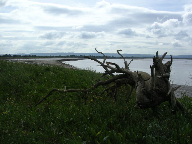
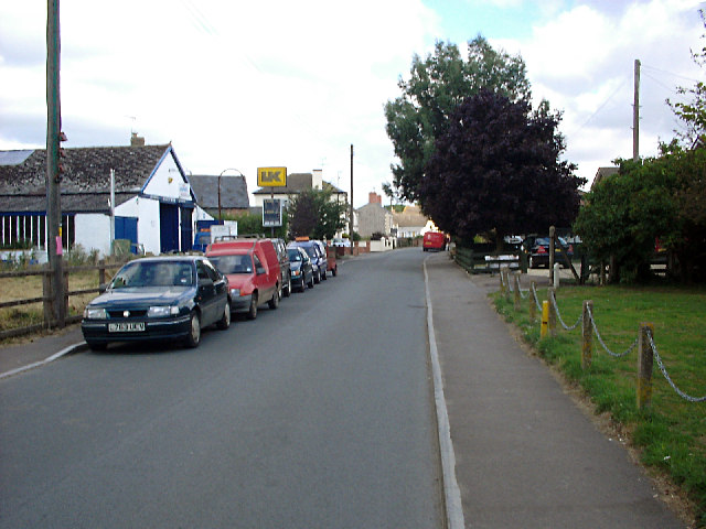
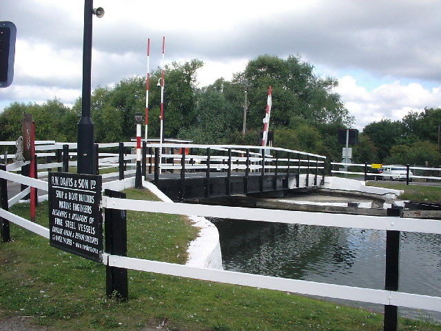
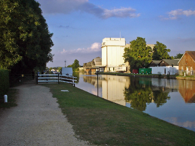
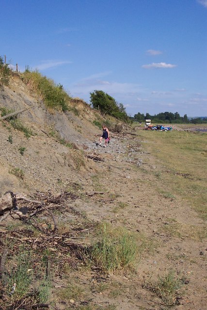
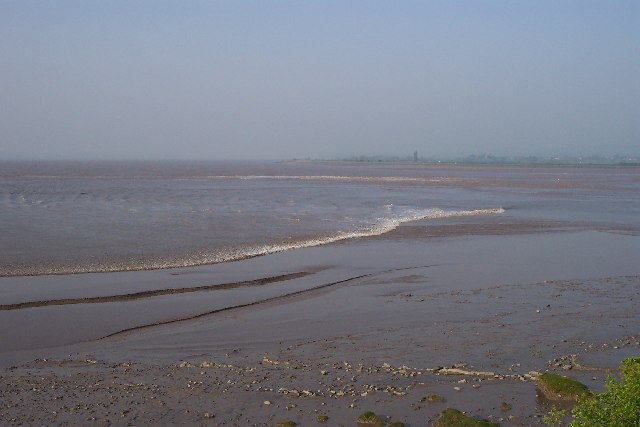
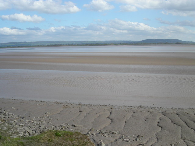
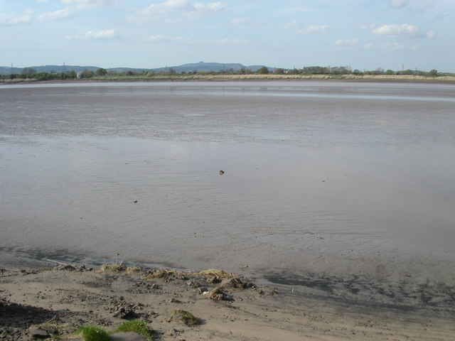
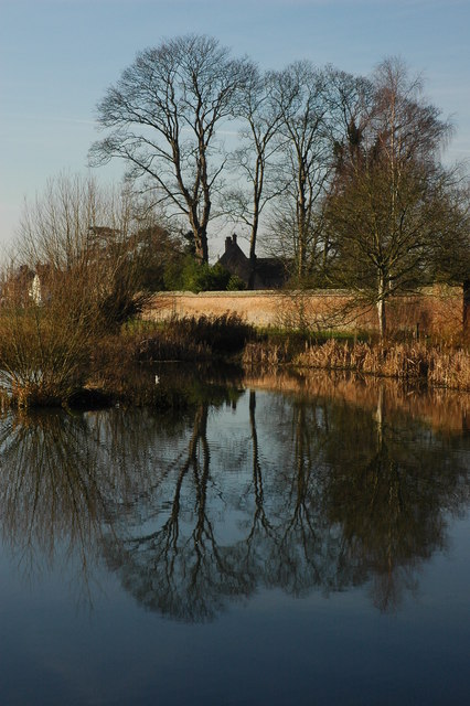
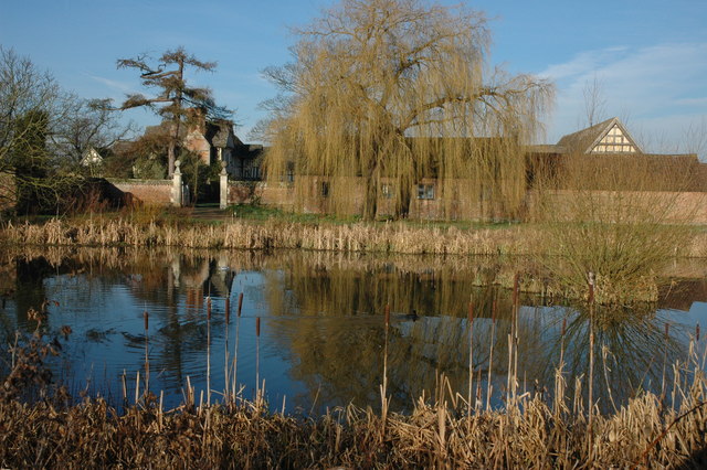
Fretherne is a small village located in the county of Gloucestershire, in the southwest of England. Situated on the banks of the River Severn, it is nestled within the picturesque Severn Vale, offering stunning views of the surrounding countryside.

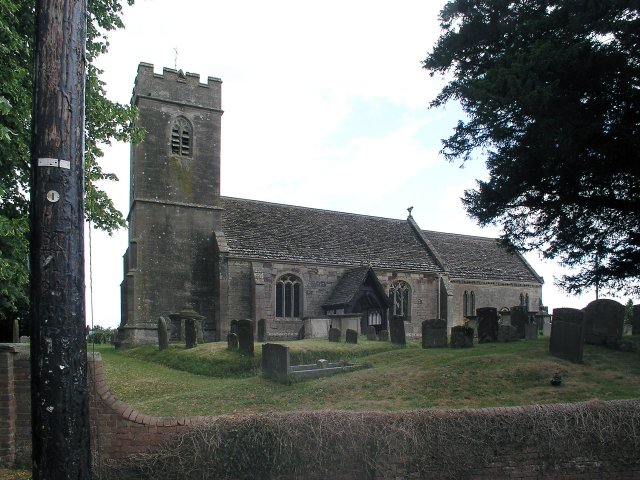
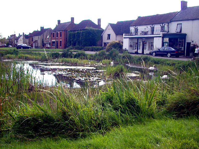
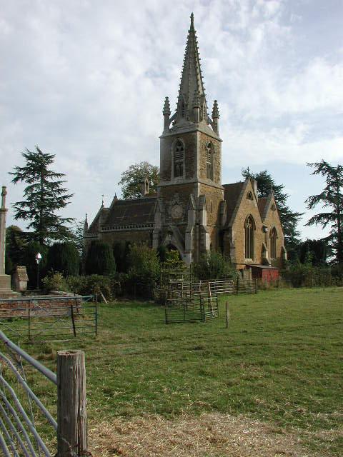
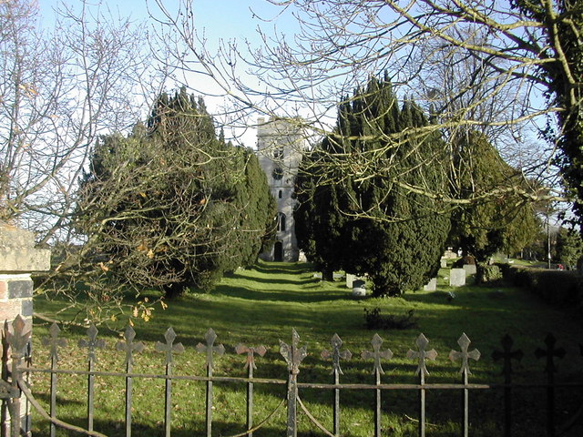
The village has a rich history that dates back to the Roman era, with evidence of Roman settlements and artifacts discovered in the area. Today, Fretherne retains a charming and tranquil atmosphere, with its traditional stone cottages and historic buildings adding to its overall character.

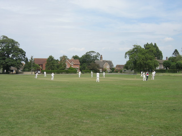
Although small in size, the village boasts a close-knit community that takes pride in its local heritage. Residents often engage in various community activities and events, fostering a strong sense of belonging and neighborliness.

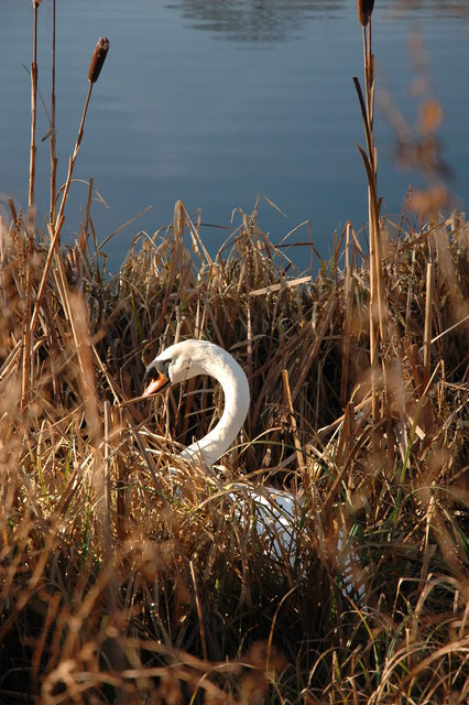
Nature enthusiasts are drawn to Fretherne for its natural beauty. The nearby Slimbridge Wetland Centre, managed by the Wildfowl and Wetlands Trust, attracts birdwatchers from far and wide due to its diverse bird species and wetland habitats. The area is also a popular destination for walkers and cyclists, with numerous trails offering the opportunity to explore the stunning countryside.

Despite its rural setting, Fretherne benefits from its proximity to larger towns and cities. The city of Gloucester is approximately 10 miles away, providing easy access to a range of amenities and services. Additionally, the village is well-connected by road, with the M5 motorway only a short drive away, offering convenient transportation links to other parts of the country.

If you have any feedback on the listing, please let us know in the comments section below.
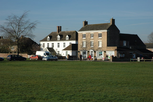
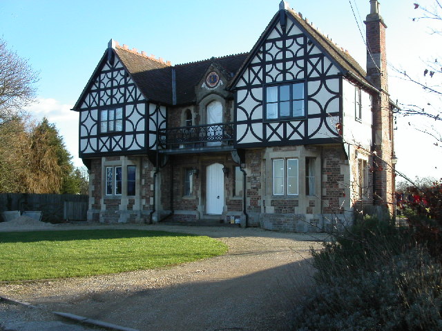
Fretherne Images

Images are sourced within 2km of 51.780728/-2.387467 or Grid Reference SO7309. Thanks to Geograph Open Source API. All images are credited.

Saul church I wonder if this village used to be called Paul... shame it's not on the way to a place called Damascus.
Saul church
I wonder if this village used to be called Paul... shame it's not on the way to a place called Damascus.
Pond on Frampton on Severn village green The village green at Frampton on Severn is reputedly the longest in England and is about 22 acres in size.
Pond on Frampton on Severn village green
The village green at Frampton on Severn is reputedly the longest in England and is about 22 acres in size.
Fretherne (Glos) St Mary's Church
Severn Estuary shoreline including Saul Warth Area prone to flooding around Saul Warth, may become managed realignment scheme.
Severn Estuary shoreline including Saul Warth
Area prone to flooding around Saul Warth, may become managed realignment scheme.
High Street, Saul Looking north along High Street from just north of the junction with Church Lane. Saul has a pub and garage but no shop or post office.
High Street, Saul
Looking north along High Street from just north of the junction with Church Lane. Saul has a pub and garage but no shop or post office.
Swing bridge, Church Lane, Saul Bridge across the Gloucester & Sharpness Canal. There is a boat builders near here at Saul Junction.
Swing bridge, Church Lane, Saul
Bridge across the Gloucester & Sharpness Canal. There is a boat builders near here at Saul Junction.
G&S Canal and former Cadbury's factory Cadbury's opened a factory adjacent to the Gloucester & Sharpness canal near Fretherne Bridge in 1916. The factory produced chocolate crumb from ground cocoa beans, sugar, and milk from local farms before being transported to the Bournville factory in Birmingham by narrowboat. The silo in the centre of the picture was added later to provide additional storage. The factory is now occupied by several businesses including Shipton Mill.
G&S Canal and former Cadbury's factory
Cadbury's opened a factory adjacent to the Gloucester & Sharpness canal near Fretherne Bridge in 1916. The factory produced chocolate crumb from ground cocoa beans, sugar, and milk from local farms before being transported to the Bournville factory in Birmingham by narrowboat. The silo in the centre of the picture was added later to provide additional storage. The factory is now occupied by several businesses including Shipton Mill.
Hock Cliff Hock Cliff is stuffed with lower lias fossils like the devil's toenail (Gryphaea Oyster) and ammonites just waiting to be collected from the rubble at the base of the cliff. However they are grey and crumbly and so don't make great specimens. We found an Ichthysaurus vertebra this particular day. There are some hovercraft waiting to go skimming across the mudflats in the distance.
Hock Cliff
Hock Cliff is stuffed with lower lias fossils like the devil's toenail (Gryphaea Oyster) and ammonites just waiting to be collected from the rubble at the base of the cliff. However they are grey and crumbly and so don't make great specimens. We found an Ichthysaurus vertebra this particular day. There are some hovercraft waiting to go skimming across the mudflats in the distance.
Severn Bore This is the early stage of the Severn Bore where it is a broad whooshing wave travelling up the river that quickly covers the low tide mud and sand. Two fronts can be seen and these are travelling either side of a mudflat called "The Noose". This particular bore was early in the morning on Good Friday.
Severn Bore
This is the early stage of the Severn Bore where it is a broad whooshing wave travelling up the river that quickly covers the low tide mud and sand. Two fronts can be seen and these are travelling either side of a mudflat called "The Noose". This particular bore was early in the morning on Good Friday.
The Noose The section of the river Severn that is known as the Noose sits entirely in the grid square SO7207. The tide is on its way out leaving massive sand banks. The distance to the opposite bank is 2Km. The church at Frampton on Severn is just left of centre.
The Noose
The section of the river Severn that is known as the Noose sits entirely in the grid square SO7207. The tide is on its way out leaving massive sand banks. The distance to the opposite bank is 2Km. The church at Frampton on Severn is just left of centre.
River Severn The river Severn has nearly completed its journey around the large horseshoe bend by Newnham. From here it starts to open up into the Noose. A large tidal area of mud and sand. The tide is on its way out uncovering the dangerous sand banks. On the horizon is May hill.
River Severn
The river Severn has nearly completed its journey around the large horseshoe bend by Newnham. From here it starts to open up into the Noose. A large tidal area of mud and sand. The tide is on its way out uncovering the dangerous sand banks. On the horizon is May hill.
Sunset over the Severn estuary The main channel of the River Severn is just beyond the bank of mud in the foreground. The extensive area of sandbanks known as The Noose is beyond.
Sunset over the Severn estuary
The main channel of the River Severn is just beyond the bank of mud in the foreground. The extensive area of sandbanks known as The Noose is beyond.
Saul Church
Saul Church
Cricket on the village green, Frampton-on-Severn The cricket pitch at Frampton-on-Severn is to be found on the village Green, right outside the Bell Inn.
Cricket on the village green, Frampton-on-Severn
The cricket pitch at Frampton-on-Severn is to be found on the village Green, right outside the Bell Inn.
Pond at Frampton-on-Severn Trees reflected in a large pond on the Frampton-on-Severn's large village green.
Pond at Frampton-on-Severn
Trees reflected in a large pond on the Frampton-on-Severn's large village green.
Mute Swan, Frampton-on-Severn A mute swan building a nest in the reeds on the banks of a village pond in Frampton-on-Severn.
Mute Swan, Frampton-on-Severn
A mute swan building a nest in the reeds on the banks of a village pond in Frampton-on-Severn.
Manor Farm, Frampton-on-Severn Manor Farm viewed across one of the ponds on the village green at Frampton-on-Severn.
Manor Farm, Frampton-on-Severn
Manor Farm viewed across one of the ponds on the village green at Frampton-on-Severn.
Post Office, Frampton-on-Severn The Post Office and village store overlooking Frampton-on-Severn's village green.
Post Office, Frampton-on-Severn
The Post Office and village store overlooking Frampton-on-Severn's village green.
Show me another place!

Fretherne is located at Grid Ref: SO7309 (Lat: 51.780728, Lng: -2.387467)

Administrative County: Gloucestershire

District: Stroud

Police Authority: Gloucestershire

What 3 Words

///topped.epidemics.snooping. Near Frampton on Severn, Gloucestershire

Nearby Locations

Fretherne Fretherne Wood

Related Wikis

Nearby Amenities

Located within 500m of 51.780728,-2.387467
Source: PGS
Lat/Long: 51.7792192/-2.3941481
Source: PGS
Lat/Long: 51.7786748/-2.3926695
Source: PGS
Lat/Long: 51.778261/-2.391637
Source: PGS
Lat/Long: 51.777611/-2.389993
Source: PGS
Lat/Long: 51.77709/-2.388348
Source: PGS
Lat/Long: 51.776698/-2.386701
Fretherne
Is In: Gloucestershire, England, UK
Place: village
Wikidata: Q9263747
Lat/Long: 51.7813825/-2.3876804
Bus Stop
Court Lodge
Naptan AtcoCode: 1600GL2097
Naptan Bearing: W
Naptan CommonName: Court Lodge
Naptan Indicator: Opp
Naptan NaptanCode: gloapaja
Naptan Street: Arlingham Rd
Naptan Verified: no
Source: naptan_import
Lat/Long: 51.7790524/-2.3824579
Bus Stop
Court Lodge
Naptan AtcoCode: 1600GL2098
Naptan Bearing: E
Naptan CommonName: Court Lodge
Naptan NaptanCode: gloapajd
Naptan Street: Arlingham Rd
Naptan Verified: no
Source: naptan_import
Lat/Long: 51.7791334/-2.3824296
Bus Stop
St Mary's Church
Naptan AtcoCode: 1600GL2099
Naptan Bearing: NW
Naptan CommonName: St Mary's Church
Naptan NaptanCode: gloamwpw
Naptan Street: Arlingham Rd
Naptan Verified: no
Source: naptan_import
Lat/Long: 51.7807442/-2.3875168
Bus Stop
St Mary's Church
Naptan AtcoCode: 1600GL2100
Naptan Bearing: SE
Naptan CommonName: St Mary's Church
Naptan Indicator: Opp
Naptan NaptanCode: gloamwta
Naptan Street: Arlingham Rd
Naptan Verified: no
Source: naptan_import
Lat/Long: 51.7808342/-2.3875031
Home Farm
Place: locality
Source: OS Opendata Streetview
Lat/Long: 51.7841953/-2.3845981
Barrier: kissing_gate
Bicycle: yes
Foot: yes
Lat/Long: 51.7797223/-2.394232
Barrier: kissing_gate
Bicycle: yes
Foot: yes
Lat/Long: 51.7792631/-2.3937625
Green Farm
Landuse: farm
Note Retag: CS #48756035
Source: OS_OpenData_StreetView
Lat/Long: 51.782259/-2.3887654
Barrier: stile
Bicycle: yes
Foot: yes
Lat/Long: 51.7785509/-2.3915232
Barrier: stile
Bicycle: yes
Foot: yes
Lat/Long: 51.7785959/-2.3916346
Post Box
Collection Times: Mo-Fr 16:00; Sa 10:15
Drive Through: no
Operator: Royal Mail
Post Box Type: wall
Ref: GL2 170
Royal Cypher: EVIIR
Royal Cypher Wikidata: Q33102324
Source: survey
Lat/Long: 51.7807982/-2.3873084
Hock Cliff
Place: locality
Lat/Long: 51.7778017/-2.3900674
Give Way
Direction: forward
Lat/Long: 51.7807962/-2.387368
Barrier: stile
Material: wood
Lat/Long: 51.7847459/-2.3861747
Barrier: stile
Material: wood
Stile: stepover
Lat/Long: 51.7797347/-2.3857882
The data included in this document is from www.openstreetmap.org. The data is made available under ODbL.

Have you been to Fretherne?

Leave your review of Fretherne below (or comments, questions and feedback).