Cow Plantation

Wood, Forest in Norfolk Broadland

England

Cow Plantation

Old Milestone by the B1149, Holt Road, Horsford Parish Concrete post by the B1149, in parish of HORSFORD (BROADLAND District), 100m South of junction with Drayton Lane, near front of wide verge with wooden bollards, on West side of road. NCC concrete, erected by the County Council in the 19th/20th century. 

Inscription reads:-
: TO / HOLT / 17 / MILES : : N C C / MAIN ROAD / HORSFORD : : TO / NORWICH / 4 / MILES : 

Milestone Society National ID: NO_NH04.
Old Milestone by the B1149, Holt Road, Horsford Parish Credit: Alan Lake

Cow Plantation, Norfolk (Wood, Forest) is a vast and picturesque expanse of land located in Norfolk County, England. Spanning over several acres, this plantation is renowned for its lush greenery, dense woodlands, and serene environment. It is a popular destination for nature enthusiasts, hikers, and those seeking a tranquil escape from the bustling city life.

The plantation gets its name from its historical association with cattle farming. In the past, it served as a prime location for grazing cows, providing ample pastureland for the region's agricultural needs. Although the plantation no longer operates as a cattle farm, remnants of its farming heritage can still be seen in the form of old barns and grazing fields.

The woodland in Cow Plantation is truly a sight to behold. Towering trees, predominantly oak and beech, dominate the landscape, creating a dense canopy that filters the sunlight and casts enchanting shadows on the forest floor. The plantation is also home to a diverse range of flora and fauna, including various species of wildflowers, ferns, and mosses, as well as a plethora of bird species and small mammals.

Visitors to Cow Plantation can enjoy a variety of outdoor activities. There are well-maintained trails that wind through the woodland, offering picturesque views and opportunities for hiking, jogging, and cycling. The plantation also features picnic areas and benches, providing a perfect spot for a leisurely lunch or a moment of quiet contemplation amidst nature's beauty.

Overall, Cow Plantation, Norfolk (Wood, Forest) is a natural gem that offers a delightful escape into the tranquility of the countryside. Whether it's exploring the woodland trails, immersing oneself in the vibrant flora and fauna, or simply enjoying a peaceful picnic, this plantation provides a serene retreat for all nature enthusiasts.

If you have any feedback on the listing, please let us know in the comments section below.

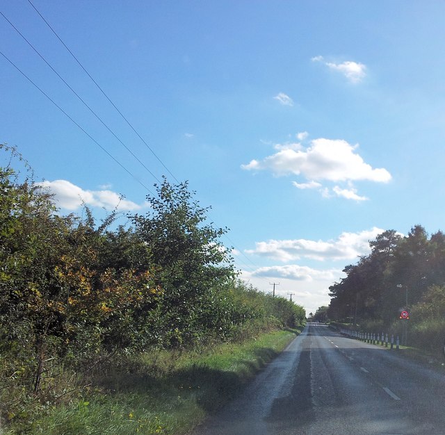
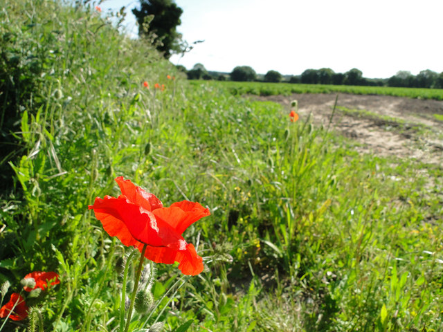
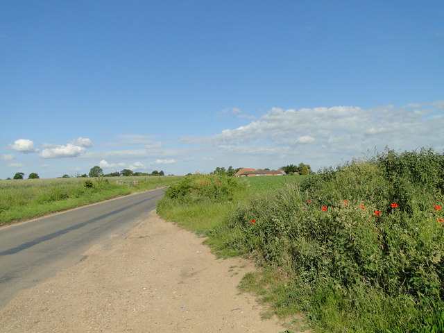
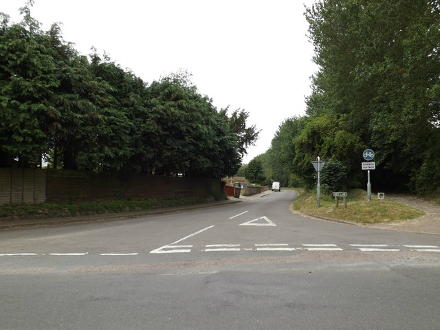
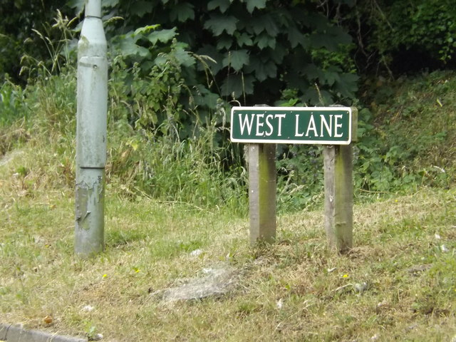
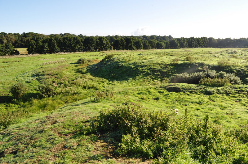
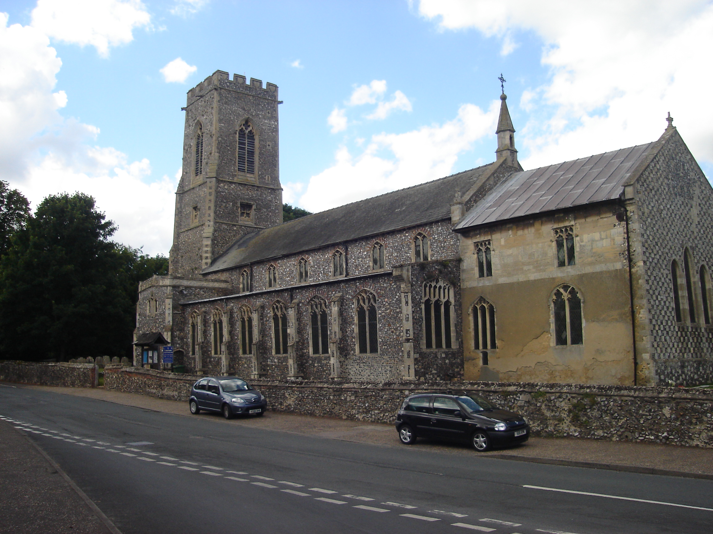
Cow Plantation Images

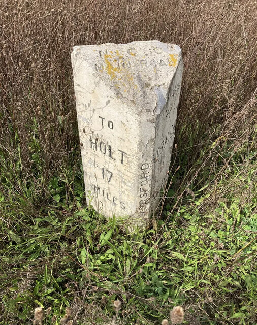
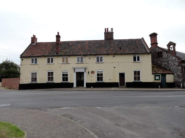
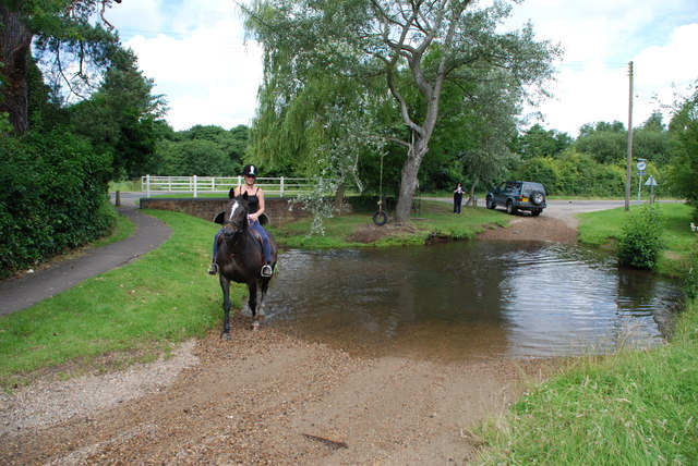
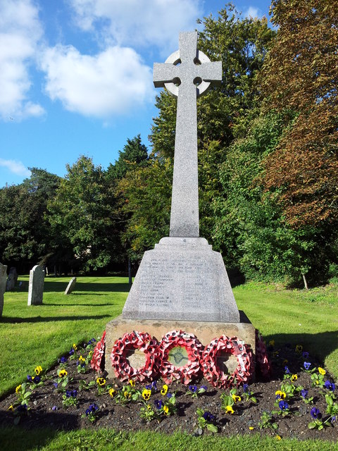
Images are sourced within 2km of 52.699573/1.2589709 or Grid Reference TG2016. Thanks to Geograph Open Source API. All images are credited.

Old Milestone by the B1149, Holt Road, Horsford Parish Concrete post by the B1149, in parish of HORSFORD (BROADLAND District), 100m South of junction with Drayton Lane, near front of wide verge with wooden bollards, on West side of road. NCC concrete, erected by the County Council in the 19th/20th century. 

Inscription reads:-
: TO / HOLT / 17 / MILES : : N C C / MAIN ROAD / HORSFORD : : TO / NORWICH / 4 / MILES : 

Milestone Society National ID: NO_NH04.
Old Milestone by the B1149, Holt Road, Horsford Parish
Concrete post by the B1149, in parish of HORSFORD (BROADLAND District), 100m South of junction with Drayton Lane, near front of wide verge with wooden bollards, on West side of road. NCC concrete, erected by the County Council in the 19th/20th century. Inscription reads:- : TO / HOLT / 17 / MILES : : N C C / MAIN ROAD / HORSFORD : : TO / NORWICH / 4 / MILES : Milestone Society National ID: NO_NH04.
The Kings Head Public House Horsham St Faith Now closed and a private residence
The Kings Head Public House Horsham St Faith
Now closed and a private residence
Ford and Rider at Horsham St Faith This ford is found at Horsham St Faith very close to Norwich International Airport
Ford and Rider at Horsham St Faith
This ford is found at Horsham St Faith very close to Norwich International Airport
War memorial in the grounds of the Church of St Mary and St Andrew
Names of the Fallen on Horsham St Faith War Memorial 1 Close up of <a href="https://www.geograph.org.uk/photo/3175544">TG2115 : War memorial in the grounds of the Church of St Mary and St Andrew</a>
Names of the Fallen on Horsham St Faith War Memorial 1
Names of the Fallen on Horsham St Faith War Memorial 2 Close up of <a href="https://www.geograph.org.uk/photo/3175544">TG2115 : War memorial in the grounds of the Church of St Mary and St Andrew</a>
Names of the Fallen on Horsham St Faith War Memorial 2
Names of the Fallen on Horsham St Faith War Memorial 3 Close up of <a href="https://www.geograph.org.uk/photo/3175544">TG2115 : War memorial in the grounds of the Church of St Mary and St Andrew</a>
Names of the Fallen on Horsham St Faith War Memorial 3
Church of St Mary and St Andrew, Horsham St Faith
Manor Road approaching the crematorium
B1149 Holt Road, Horsford Looking towards Horsford near New Holme Farm
B1149 Holt Road, Horsford
Looking towards Horsford near New Holme Farm
B1149 Holt Road, Horsford Looking towards Horsford near New Holme Farm
B1149 Holt Road, Horsford
Looking towards Horsford near New Holme Farm
Poppy Near Hilltop Farm, Horsford
Poppy
Near Hilltop Farm, Horsford
Horsham to Horsford road A short cut between Horsford and the A140
Horsham to Horsford road
A short cut between Horsford and the A140
West Lane, Horsham St.Faith At the junction with Church Street
West Lane, Horsham St.Faith
At the junction with Church Street
West Lane sign On West Lane at the junction with Church Street
West Lane sign
On West Lane at the junction with Church Street
Church Street, Horsham St.Faith Near the junction with the A140 Cromer Road
Church Street, Horsham St.Faith
Near the junction with the A140 Cromer Road
Entering Horsham St.Faith on Church Street <span class="nowrap"><a title="https://en.wikipedia.org/wiki/Horsham_St_Faith" rel="nofollow ugc noopener" href="https://en.wikipedia.org/wiki/Horsham_St_Faith">Link</a><img style="margin-left:2px;" alt="External link" title="External link - shift click to open in new window" src="https://s1.geograph.org.uk/img/external.png" width="10" height="10"/></span>
Entering Horsham St.Faith on Church Street
Horsham St.Faith Village Name sign on Church Street <span class="nowrap"><a title="https://en.wikipedia.org/wiki/Horsham_St_Faith" rel="nofollow ugc noopener" href="https://en.wikipedia.org/wiki/Horsham_St_Faith">Link</a><img style="margin-left:2px;" alt="External link" title="External link - shift click to open in new window" src="https://s1.geograph.org.uk/img/external.png" width="10" height="10"/></span>
Horsham St.Faith Village Name sign on Church Street
Show me another place!

Cow Plantation is located at Grid Ref: TG2016 (Lat: 52.699573, Lng: 1.2589709)

Administrative County: Norfolk

District: Broadland

Police Authority: Norfolk

What 3 Words

///scope.funny.finest. Near Horsford, Norfolk

Related Wikis

Horsford Castle

Horsford Castle is situated in the village of Horsford, 6 miles to the north of the city of Norwich. == Details == Before the Norman conquest of England...

Horsford

Horsford is a village six miles north of Norwich, England which is surrounded by the Horsford Forest and is named after the dried up section of the River...
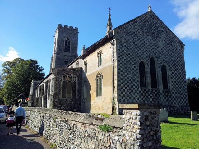
Horsham St Faith

Horsham St Faith is a village in Norfolk, England. The village lies close and to the east of the A140 road and is 5 miles (8.0 km) north of Norwich and...

Horsham St Faith and Newton St Faith

Horsham St Faith and Newton St Faith is a civil parish in the English county of Norfolk, consisting of the former parishes of Horsham St Faith and Newton...

Nearby Amenities

Located within 500m of 52.699573,1.2589709
Black Park
Place: locality
Lat/Long: 52.6983702/1.2648021
Cow Plantation
Place: locality
Lat/Long: 52.7006691/1.2591652
Note: Way continues
Lat/Long: 52.6973779/1.2630735
Note: Way continues
Lat/Long: 52.697516/1.2607947
Note: Way continues
Lat/Long: 52.6988631/1.2616143
Barrier: kissing_gate
Bicycle: no
Foot: yes
Note: Broken, this now lays to one side
Lat/Long: 52.700517/1.2627981
Barrier: kissing_gate
Bicycle: no
Foot: yes
Lat/Long: 52.7015328/1.2649888
The data included in this document is from www.openstreetmap.org. The data is made available under ODbL.

Have you been to Cow Plantation?

Leave your review of Cow Plantation below (or comments, questions and feedback).