Black Park
Wood, Forest in Norfolk Broadland
England
Black Park
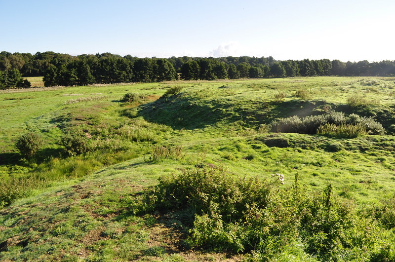
Black Park is a picturesque woodland located in Norfolk, England. Spanning over several acres, it is a haven for nature enthusiasts and outdoor adventurers alike. The park is characterized by its dense forest, majestic trees, and serene atmosphere.
The woodland is home to a diverse range of flora and fauna, creating an ecosystem that supports a wide variety of wildlife. Visitors can expect to encounter species such as deer, foxes, and a plethora of bird species, making it an ideal destination for birdwatching enthusiasts.
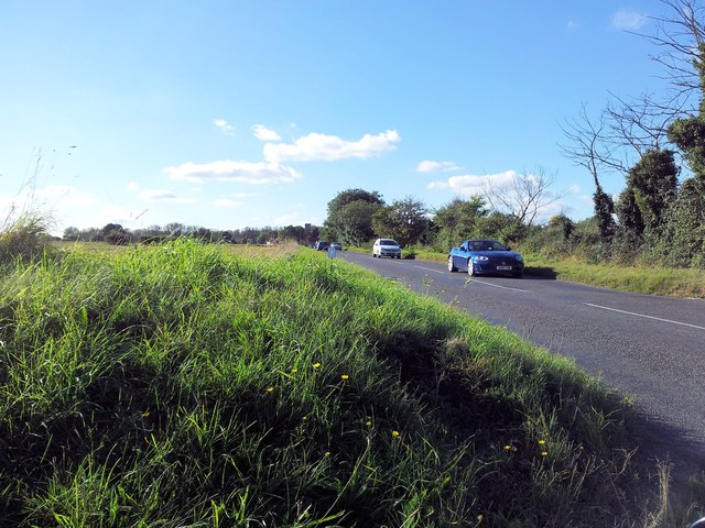
There are numerous walking trails throughout the park, allowing visitors to explore its natural beauty at their own pace. These trails cater to different levels of difficulty, ensuring that everyone, from casual strollers to avid hikers, can enjoy the park's offerings.
One of the main attractions of Black Park is its lake, which adds to the park's scenic charm. Visitors can take leisurely walks around the lake or even indulge in activities such as fishing or boating, provided they have the necessary permits.
Black Park also boasts ample facilities to enhance visitors' experiences. There are picnic areas with benches and tables, making it a suitable spot for families and friends to enjoy a meal amidst nature. Additionally, the park has clean and well-maintained restroom facilities for the convenience of visitors.
Overall, Black Park offers a tranquil escape from the hustle and bustle of everyday life, providing a serene and immersive experience in nature. Whether one seeks relaxation, outdoor activities, or wildlife encounters, this woodland sanctuary in Norfolk has something to offer for everyone.
If you have any feedback on the listing, please let us know in the comments section below.
Black Park Images
Images are sourced within 2km of 52.698306/1.2631844 or Grid Reference TG2016. Thanks to Geograph Open Source API. All images are credited.


Black Park is located at Grid Ref: TG2016 (Lat: 52.698306, Lng: 1.2631844)
Administrative County: Norfolk
District: Broadland
Police Authority: Norfolk
What 3 Words
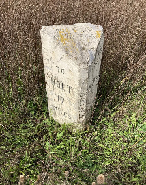
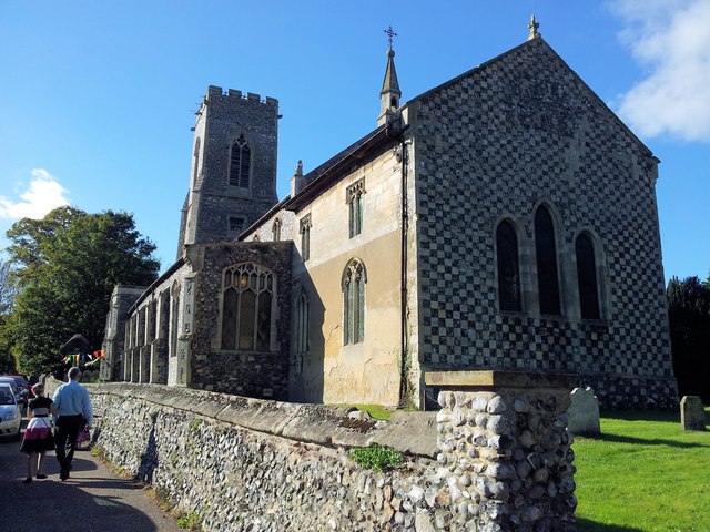
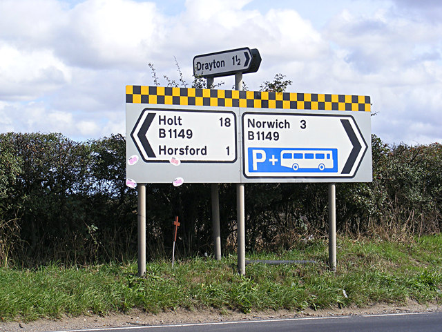
///remind.brand.blues. Near Horsford, Norfolk
Nearby Locations
Related Wikis
Horsford Castle
Horsford Castle is situated in the village of Horsford, 6 miles to the north of the city of Norwich. == Details == Before the Norman conquest of England...

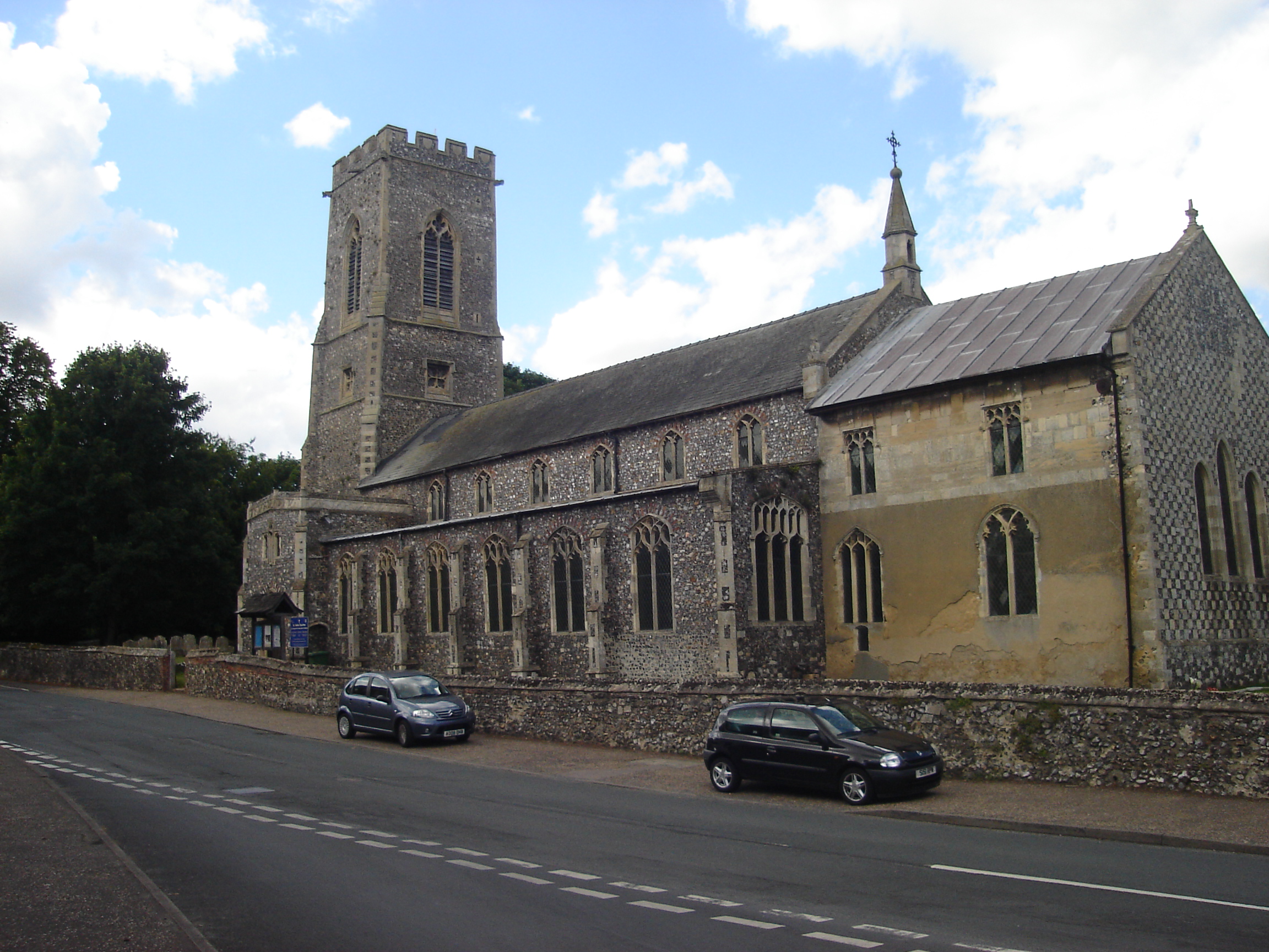
Horsford
Horsford is a village six miles north of Norwich, England which is surrounded by the Horsford Forest and is named after the dried up section of the River...
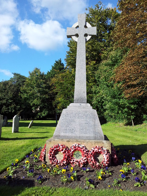
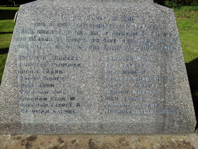
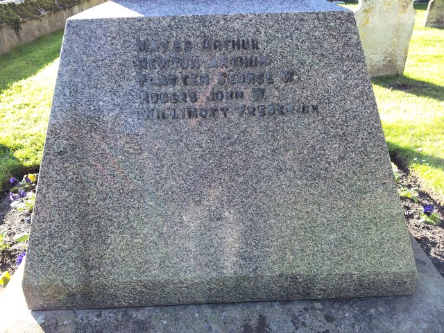
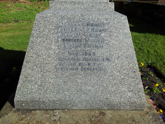
Horsham St Faith
Horsham St Faith is a village in Norfolk, England. The village lies close and to the east of the A140 road and is 5 miles (8.0 km) north of Norwich and...

Horsham St Faith and Newton St Faith
Horsham St Faith and Newton St Faith is a civil parish in the English county of Norfolk, consisting of the former parishes of Horsham St Faith and Newton...

City of Norwich Aviation Museum
The City of Norwich Aviation Museum is a volunteer-run museum and charitable trust dedicated to the preservation of the aviation history of the county...

Manor Park, Horsford
Manor Park is a cricket ground in Horsford, Norfolk. The ground is the main home ground of Norfolk County Cricket Club. The first recorded match on the...

Dussindale & Hellesdon Rovers F.C.
Dussindale & Hellesdon Rovers Football Club is a football club based in Norwich, England. They are currently members of the Eastern Counties League Division...
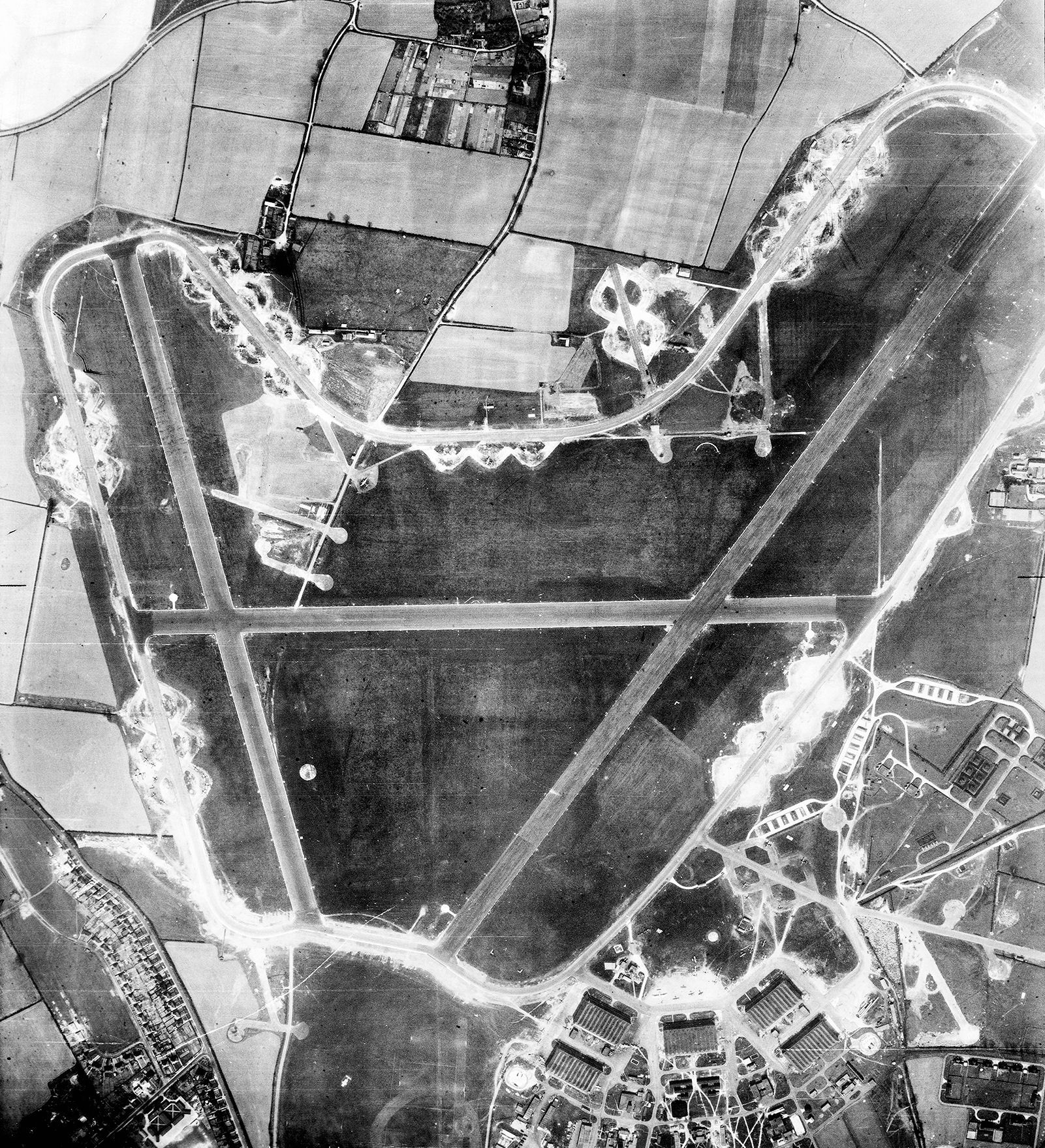
RAF Horsham St Faith
Royal Air Force Horsham St Faith or more simply RAF Horsham St Faith is a former Royal Air Force station near Norwich, Norfolk, England which was operational...
Nearby Amenities
Located within 500m of 52.698306,1.2631844Have you been to Black Park?
Leave your review of Black Park below (or comments, questions and feedback).