Soils Wood
Wood, Forest in Essex Tendring
England
Soils Wood

Soils Wood, Essex (also known as Wood or Forest) is a small village located in the Uttlesford district of Essex, England. It is situated approximately 30 miles northeast of London and has a population of around 500 residents.
The village is characterized by its picturesque rural setting, surrounded by beautiful countryside and woodland areas. The landscape is predominantly made up of rolling hills and open fields, providing a tranquil and idyllic atmosphere for its inhabitants.
Historically, Soils Wood was primarily an agricultural community, with farming being the main source of income for its residents. While agriculture still plays a significant role in the local economy, the village has also seen a shift towards other industries such as tourism and small-scale businesses.
Soils Wood is well-connected to neighboring towns and cities, with good transport links including nearby access to major roads and rail services. This allows residents to easily commute to larger urban areas for work or leisure activities.
The village is served by a range of amenities, including a primary school, a village hall, and a local pub. Additionally, there are several churches in the area, providing a place of worship for the community.
Nature enthusiasts and outdoor lovers will find plenty to explore in and around Soils Wood. The surrounding woodland areas offer opportunities for walking, hiking, and wildlife spotting, while nearby rivers and lakes provide options for fishing and boating.
In summary, Soils Wood, Essex is a charming and peaceful village known for its rural beauty, strong sense of community, and access to nature.
If you have any feedback on the listing, please let us know in the comments section below.
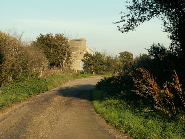
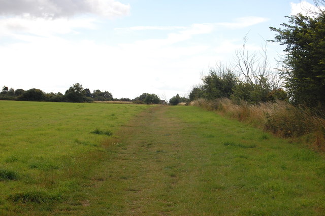
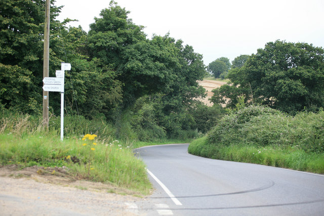
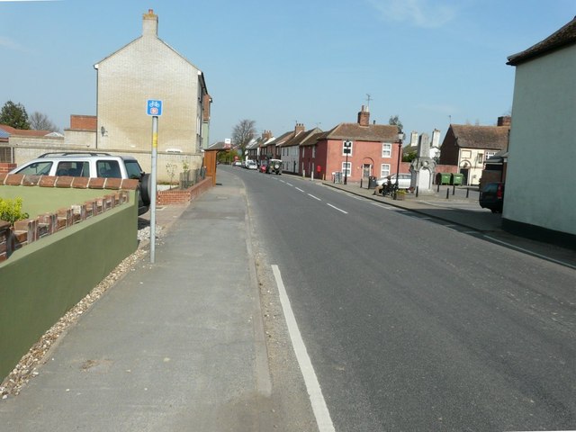
Soils Wood Images
Images are sourced within 2km of 51.913224/1.2018287 or Grid Reference TM2028. Thanks to Geograph Open Source API. All images are credited.


Soils Wood is located at Grid Ref: TM2028 (Lat: 51.913224, Lng: 1.2018287)
Administrative County: Essex
District: Tendring
Police Authority: Essex
What 3 Words
///attaching.exacts.custodial. Near Dovercourt, Essex
Nearby Locations
Related Wikis

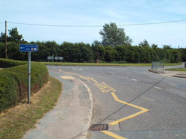
Great Oakley, Essex
Great Oakley is a village and civil parish in the Tendring district of Essex, England. It is a long, narrow parish lying on the top of a low (25 m) ridge...
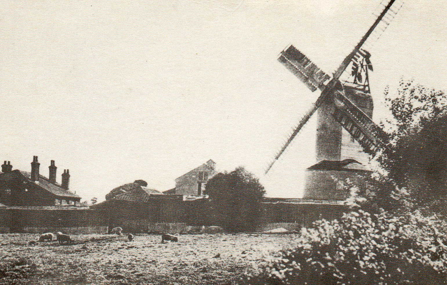
Ramsey Windmill, Essex
Ramsey Windmill is a grade II* listed post mill at Ramsey, Essex, England which has been restored. == History == Ramsey Windmill was originally built in...

Ramsey, Essex
Ramsey is a village on the B1352 road, in the civil parish of Ramsey and Parkeston, in the Tendring district, in the county of Essex, England. It is near...
Ramsey and Parkeston
Ramsey and Parkeston (formerly just Ramsey) is a civil parish in the Tendring district, in the county of Essex, England. The parish includes the villages...
Nearby Amenities
Located within 500m of 51.913224,1.2018287Have you been to Soils Wood?
Leave your review of Soils Wood below (or comments, questions and feedback).