Clip Gate Wood
Wood, Forest in Kent Canterbury
England
Clip Gate Wood

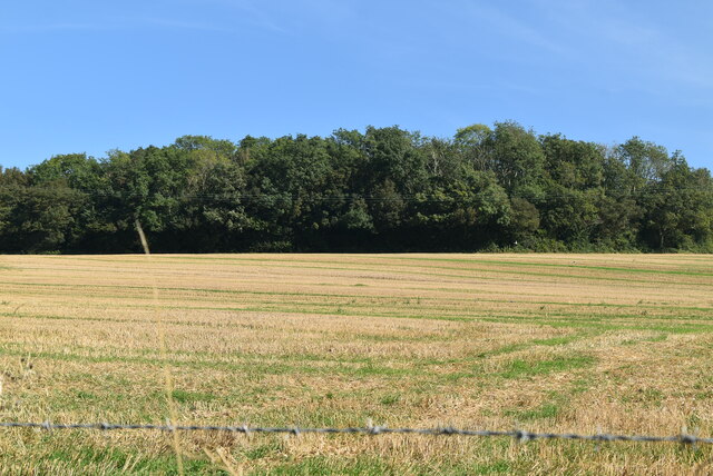
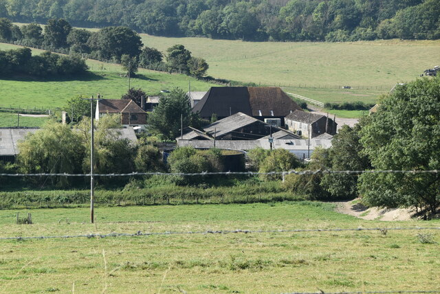
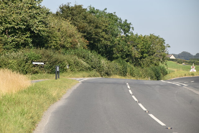
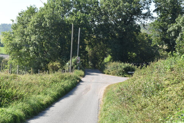
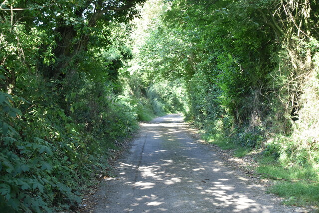
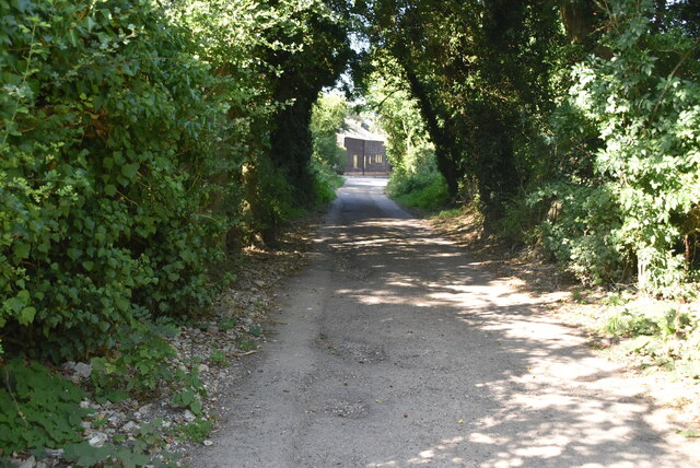
Clip Gate Wood is a picturesque woodland located in the county of Kent, England. It covers an area of approximately 50 acres and is known for its diverse range of flora and fauna. The wood is situated near the village of Clipgate, hence its name, and is easily accessible for visitors.
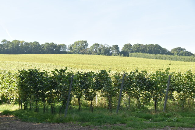
The woodland is predominantly made up of broad-leaved trees such as oak, beech, and ash, which create a dense canopy providing shade and shelter for a variety of wildlife. Bluebells carpet the forest floor during the spring months, creating a stunning display of color. Additionally, ferns, mosses, and wildflowers can be found throughout the wood, adding to its natural beauty.
The wood is home to a wide range of animal species, including deer, badgers, foxes, and a variety of bird species. Birdwatchers often visit Clip Gate Wood to catch a glimpse of the resident woodpeckers, tits, and finches. The tranquil atmosphere and abundance of wildlife make it a perfect spot for nature enthusiasts and photographers.
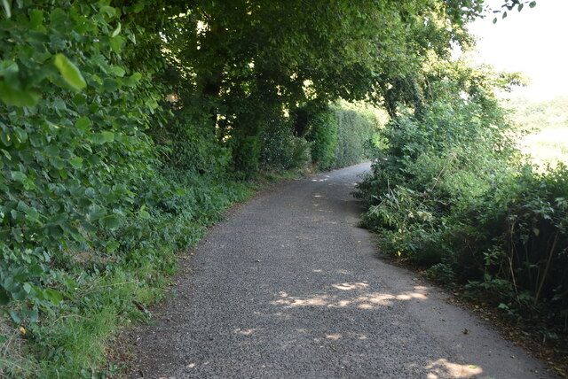
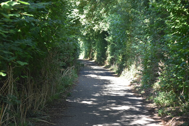
Walking trails weave through the wood, allowing visitors to explore its scenic beauty at their own pace. There are also picnic areas and benches where visitors can relax and enjoy the peaceful surroundings. The wood is open to the public all year round and is managed by the local authorities to preserve its natural habitat.
Clip Gate Wood is not only a haven for wildlife but also a place of natural beauty and serenity. Its lush greenery, diverse wildlife, and peaceful ambiance make it a popular destination for nature lovers and those seeking a respite from the hustle and bustle of everyday life.
If you have any feedback on the listing, please let us know in the comments section below.
Clip Gate Wood Images
Images are sourced within 2km of 51.186762/1.1507591 or Grid Reference TR2047. Thanks to Geograph Open Source API. All images are credited.


Clip Gate Wood is located at Grid Ref: TR2047 (Lat: 51.186762, Lng: 1.1507591)
Administrative County: Kent
District: Canterbury
Police Authority: Kent
What 3 Words
///spreads.deleting.eyebrows. Near Barham, Kent
Nearby Locations
Related Wikis

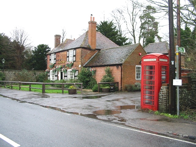
Breach, Kent
Breach is a small settlement in the Elham Valley about one mile (1.6 km) south of Barham(where, at the 2011 Census, the population was included) in Kent...

Jumping Downs
Jumping Downs is a 5.7-hectare (14-acre) Local Nature Reserve near Aylesham, between Canterbury and Dover in Kent. It is owned by the Jumping Downs Trust...
Denton, Kent
Denton is a village and former civil parish, now in the parish of Denton with Wootton, in the Dover district of Kent, England. In 1961 the parish had a...
Heart's Delight, City of Canterbury
Heart's Delight is a settlement located near Barham in Kent, England. There is a similarly-known settlement near Sittingbourne in the Swale district of...
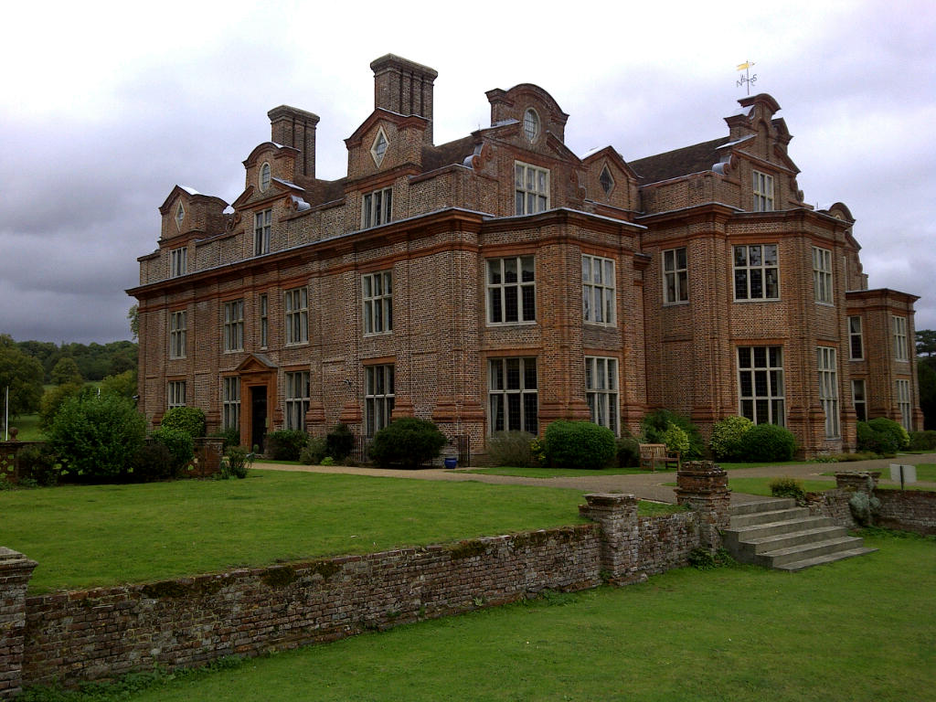
Broome Park
Broome Park is a country house in Barham, within the City of Canterbury, Kent, England. It was built for Basil Dixwell between 1635 and 1638. In the early...

Wingmore
Wingmore is a small village between Canterbury and Folkestone in Kent, England. It is situated in the Elham Valley approximately halfway between the larger...

Barham railway station
Barham was a station on the Elham Valley Railway. It opened in 1887 and closed to passengers in 1940 and freight in 1947. == History == The station opened...
Bladbean
Bladbean is a scattered hamlet between Canterbury and Folkestone in Kent, England. It lies along a minor road east of Stelling Minnis. It is in the civil...
Nearby Amenities
Located within 500m of 51.186762,1.1507591Have you been to Clip Gate Wood?
Leave your review of Clip Gate Wood below (or comments, questions and feedback).