Bankyfield Shaw
Wood, Forest in Kent Dover
England
Bankyfield Shaw

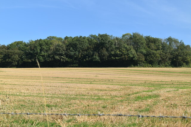
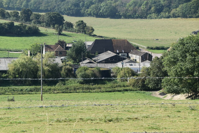
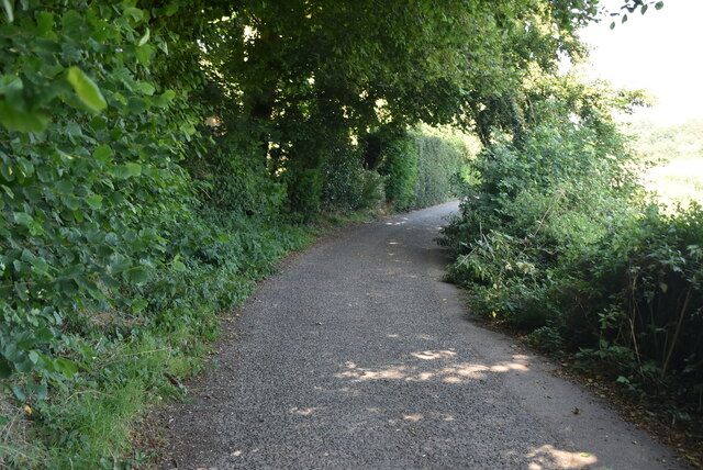
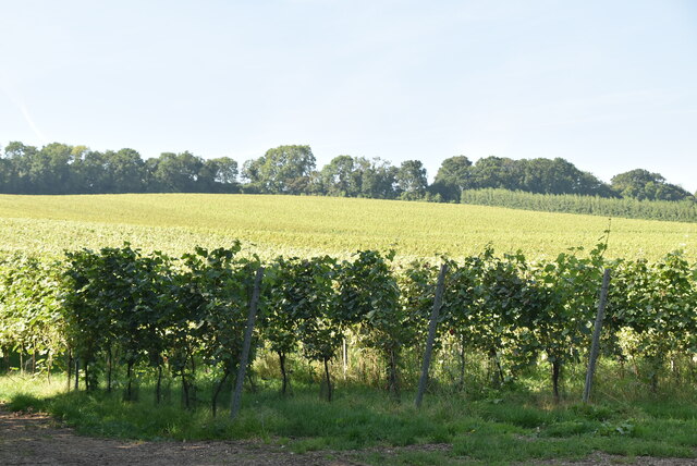
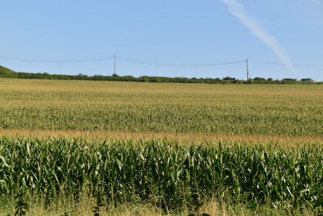
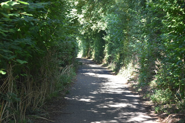
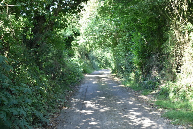
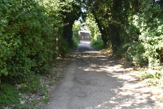
Bankyfield Shaw is a small woodland area located in Kent, England. Situated in the district of Wood, Forest, it covers an area of approximately 5 acres. The woodland is characterized by its dense canopy of trees, predominantly consisting of oak, beech, and ash. These mature trees provide a rich habitat for a variety of wildlife species, including birds, squirrels, and small mammals.
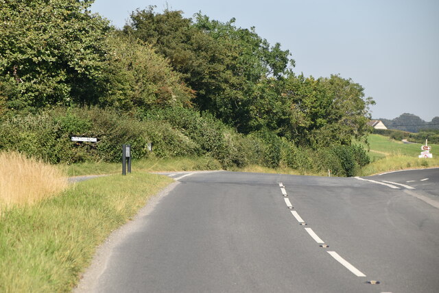
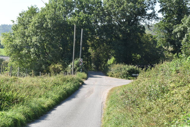
The woodland is accessible to the public and offers a peaceful and tranquil environment for visitors to enjoy. There are several footpaths winding through the trees, allowing walkers to explore the area and take in the natural beauty of the surroundings. In the spring, the woodland comes alive with vibrant displays of wildflowers, creating a stunning carpet of color.
Bankyfield Shaw is also a notable site for birdwatching enthusiasts. The diverse range of tree species attracts a plethora of bird species, such as woodpeckers, nuthatches, and various songbirds. Visitors may also spot the occasional deer or fox, adding to the allure of the woodland.
The woodland is well-maintained by local authorities, ensuring the preservation of its natural beauty and providing a safe and enjoyable experience for visitors. It is a popular spot for nature lovers, hikers, and families looking for a peaceful retreat or a place to reconnect with nature.
Overall, Bankyfield Shaw in Kent is a picturesque woodland area that offers a haven of tranquility and natural beauty for visitors to enjoy.
If you have any feedback on the listing, please let us know in the comments section below.
Bankyfield Shaw Images
Images are sourced within 2km of 51.183895/1.1599952 or Grid Reference TR2047. Thanks to Geograph Open Source API. All images are credited.


Bankyfield Shaw is located at Grid Ref: TR2047 (Lat: 51.183895, Lng: 1.1599952)
Administrative County: Kent
District: Dover
Police Authority: Kent
What 3 Words
///emblem.remaining.royal. Near Wootton, Kent
Nearby Locations
Related Wikis
Denton, Kent
Denton is a village and former civil parish, now in the parish of Denton with Wootton, in the Dover district of Kent, England. In 1961 the parish had a...

Breach, Kent
Breach is a small settlement in the Elham Valley about one mile (1.6 km) south of Barham(where, at the 2011 Census, the population was included) in Kent...
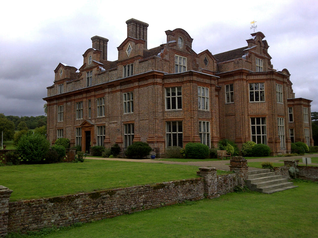
Broome Park
Broome Park is a country house in Barham, within the City of Canterbury, Kent, England. It was built for Basil Dixwell between 1635 and 1638. In the early...

Wootton, Kent
Wootton is a village and former civil parish, now in the parish of Denton with Wootton, in the Dover district of Kent, England. In 1961 the parish had...
Nearby Amenities
Located within 500m of 51.183895,1.1599952Have you been to Bankyfield Shaw?
Leave your review of Bankyfield Shaw below (or comments, questions and feedback).