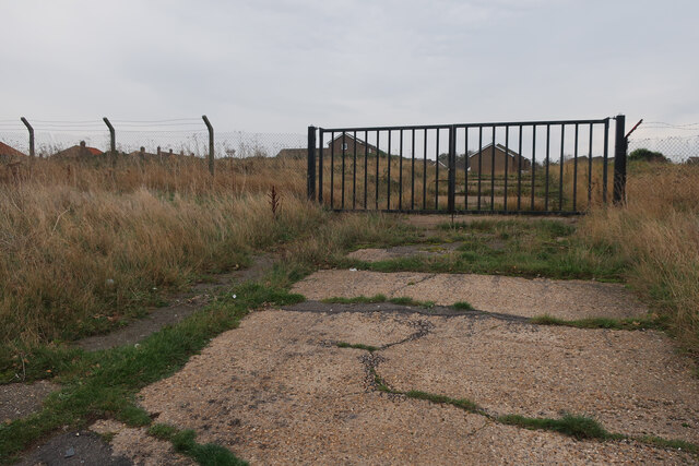
Gray's Plantation
Wood, Forest in Norfolk North Norfolk
England
Gray's Plantation

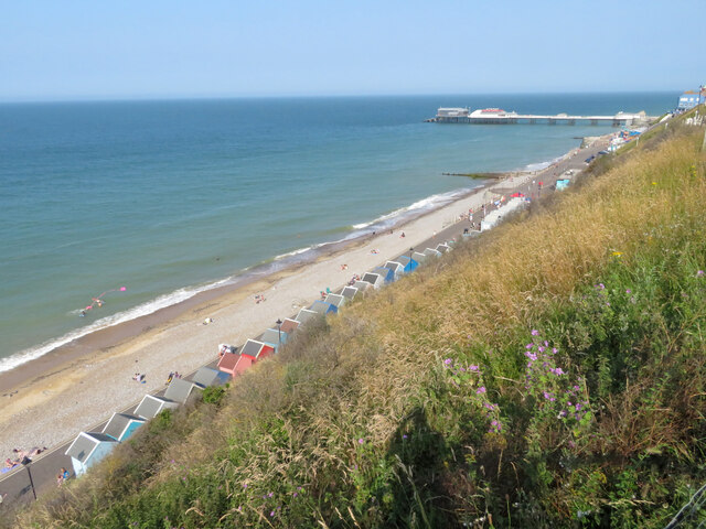
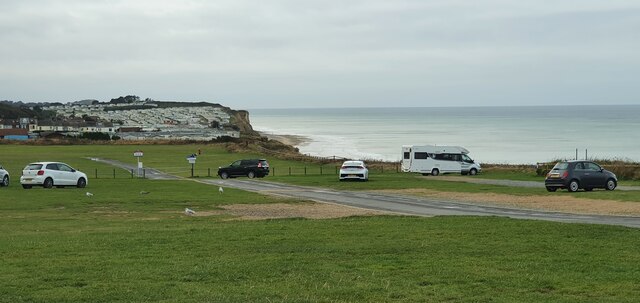
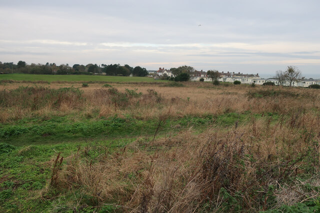
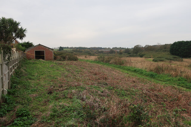
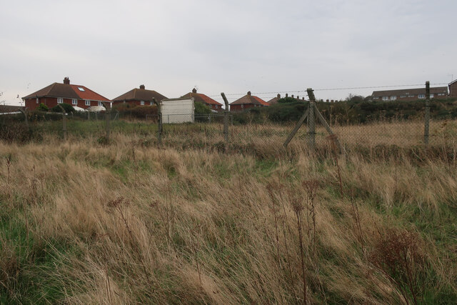
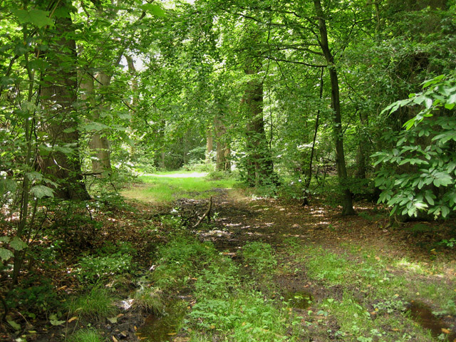
Gray's Plantation is a picturesque woodland area located in Norfolk, England. Spread across several acres, it is known for its dense forest and diverse vegetation. The plantation is bordered by charming countryside and is a popular destination for nature enthusiasts and hikers.
The woodland in Gray's Plantation is predominantly composed of deciduous trees, including oak, beech, and ash. These majestic trees provide a canopy that creates a serene and shaded environment, perfect for leisurely walks or peaceful picnics. The forest floor is covered with a rich carpet of moss, wildflowers, and ferns, adding to the enchanting atmosphere.
The plantation is also home to a variety of wildlife, making it a haven for nature lovers. Visitors may spot deer, squirrels, and numerous bird species, including woodpeckers and owls. The area is a designated nature reserve, ensuring the protection and preservation of its flora and fauna.
Several well-maintained walking trails traverse through Gray's Plantation, allowing visitors to explore the woodland at their own pace. These trails vary in difficulty, catering to both casual walkers and more experienced hikers. Along the way, informative signposts provide interesting facts about the plantation's history and biodiversity.
Gray's Plantation offers a tranquil escape from the hustle and bustle of city life. Its natural beauty and peaceful ambiance make it an ideal destination for those seeking a breath of fresh air and a connection with nature. Whether for a leisurely stroll, a family outing, or a wildlife spotting adventure, Gray's Plantation promises a memorable and rejuvenating experience.
If you have any feedback on the listing, please let us know in the comments section below.
Gray's Plantation Images
Images are sourced within 2km of 52.921222/1.2750246 or Grid Reference TG2041. Thanks to Geograph Open Source API. All images are credited.


Gray's Plantation is located at Grid Ref: TG2041 (Lat: 52.921222, Lng: 1.2750246)
Administrative County: Norfolk
District: North Norfolk
Police Authority: Norfolk
What 3 Words
///relief.fatherly.joys. Near Cromer, Norfolk
Nearby Locations
Related Wikis
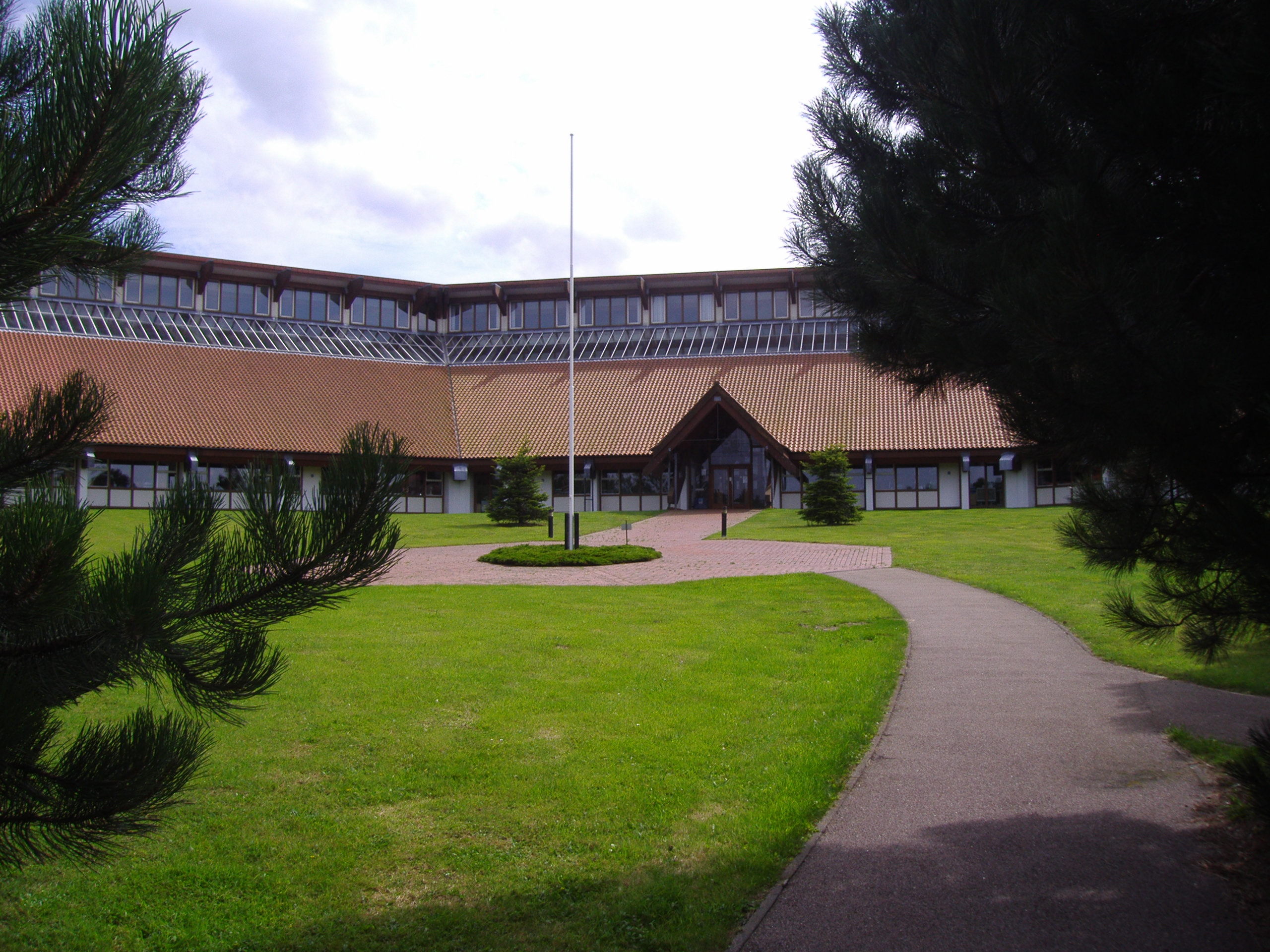
North Norfolk District Council Headquarters
North Norfolk District Council Headquarters is located in Holt road in a prominent position south of the town of Cromer in the English county of Norfolk...
Felbrigg Woods
Felbrigg Woods is a 164.6-hectare (407-acre) biological Site of Special Scientific Interest south-west of Cromer in Norfolk. It is the main part of the...

East Runton Windmill
East Runton Windmill is a grade II listed tower mill at East Runton, Norfolk, England which has been converted to residential accommodation. == History... ==
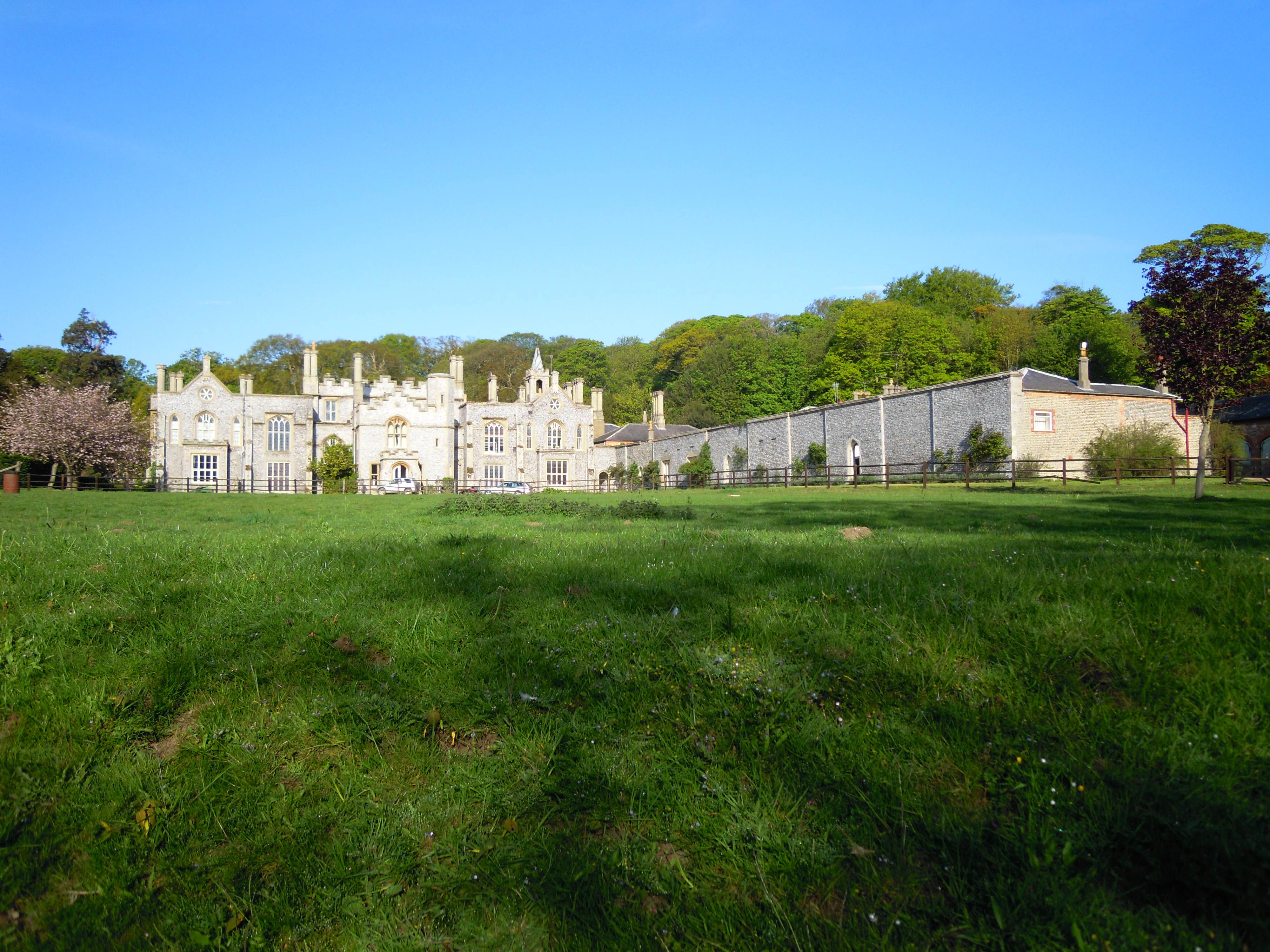
Cromer Hall
Cromer Hall is a country house located one mile south of Cromer on Holt Road, in the English county of Norfolk. The present house was built in 1829 by...

Felbrigg
Felbrigg is a village and civil parish in the English county of Norfolk. The village is 1.7 miles (2.7 km) south-west of Cromer and 20 miles (32 km) north...

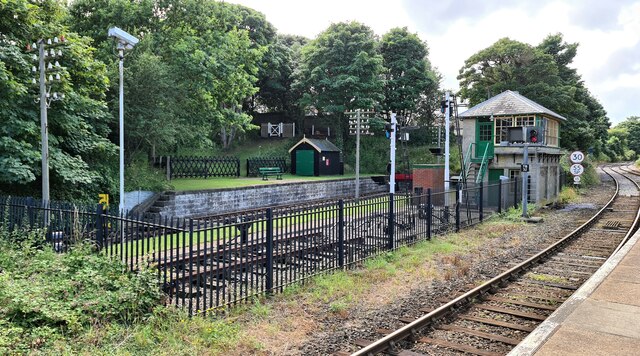
Cromer railway station
Cromer is a railway station in the English county of Norfolk. Because the Midland and Great Northern Joint Railway (M&GNJR) line approached Cromer from...
Railway stations in Cromer
The fishing port and holiday resort of Cromer in the English county of Norfolk has had a rail service since 1877. It was served by three railway stations...
Beacon Hill, Norfolk
Beacon Hill is the highest point in the English county of Norfolk. The hill is located 0.75 miles (1.2 km) south of the village of West Runton on the North...
Nearby Amenities
Located within 500m of 52.921222,1.2750246Have you been to Gray's Plantation?
Leave your review of Gray's Plantation below (or comments, questions and feedback).