Ladwood Wood
Wood, Forest in Kent Shepway
England
Ladwood Wood
Ladwood Wood, located in Kent, England, is a picturesque forest known for its natural beauty and diverse wildlife. Spanning over a vast area of land, it offers a tranquil escape from the hustle and bustle of urban life.
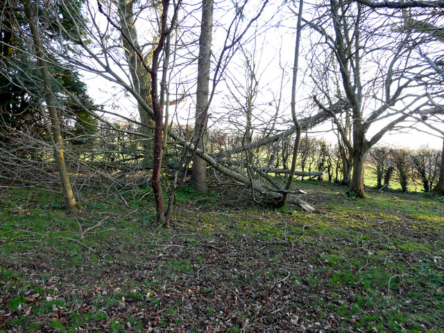
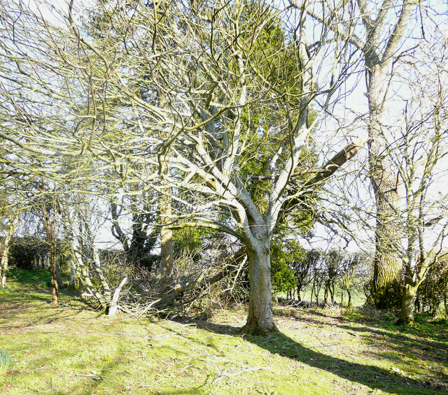
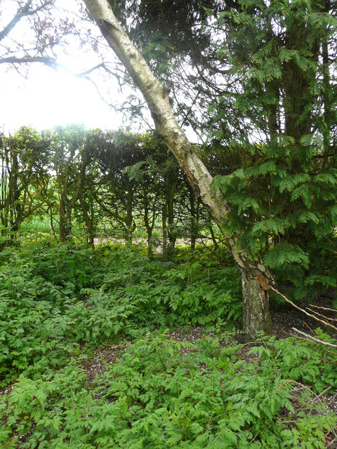
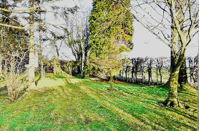
The wood is characterized by its dense canopy of trees, mainly consisting of native species such as oak, beech, and ash. These towering trees provide a protective shelter for a wide range of flora and fauna, making Ladwood Wood a haven for biodiversity. Wildflowers, including bluebells and primroses, carpet the forest floor during spring, creating a stunning display of colors.
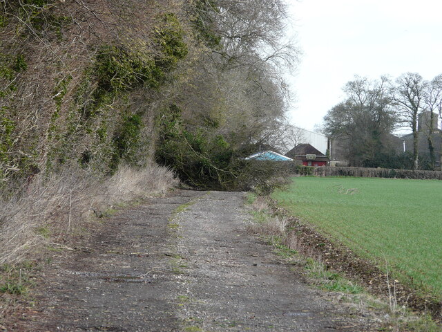
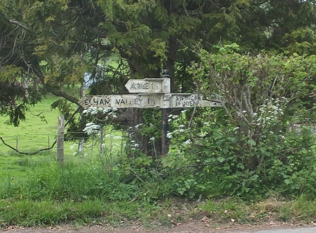
The wood is intersected by several walking trails, allowing visitors to explore its enchanting surroundings. These well-maintained paths wind through the forest, providing glimpses of hidden glades, babbling brooks, and small ponds. Nature enthusiasts can spot various bird species, such as woodpeckers and owls, as well as small mammals like squirrels and rabbits.
Ladwood Wood also has a rich history, with evidence of human activity dating back thousands of years. Archaeological discoveries have uncovered remnants of ancient settlements and burial mounds, indicating that the wood was once an important part of the local community.
Today, Ladwood Wood is managed by the local authorities, who strive to preserve its natural beauty and protect its diverse ecosystem. It remains a popular destination for outdoor enthusiasts, offering opportunities for walking, wildlife watching, and peaceful contemplation amidst nature's grandeur.
If you have any feedback on the listing, please let us know in the comments section below.
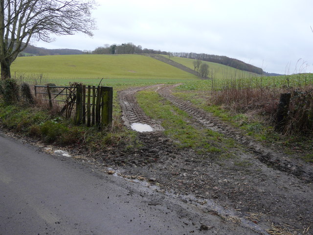
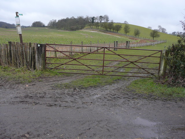
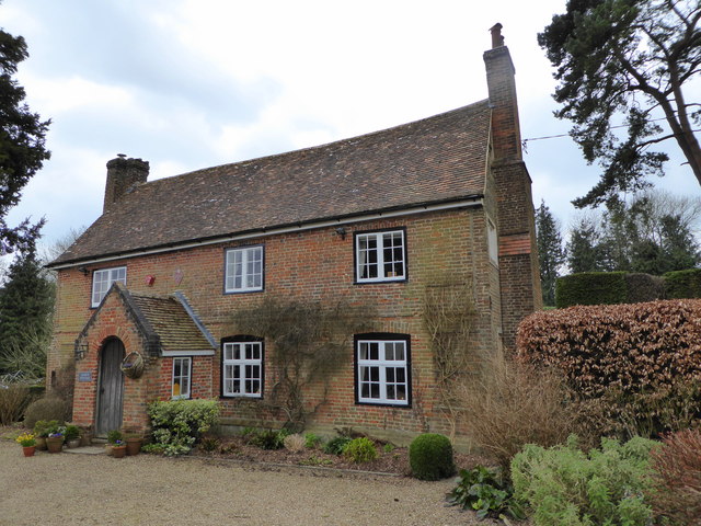
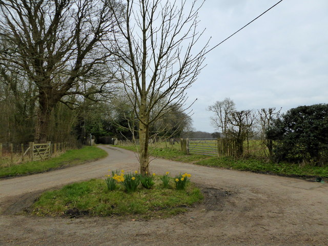
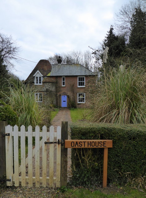
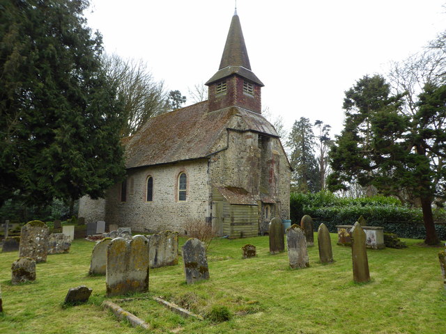
Ladwood Wood Images
Images are sourced within 2km of 51.148112/1.1427186 or Grid Reference TR1943. Thanks to Geograph Open Source API. All images are credited.


Ladwood Wood is located at Grid Ref: TR1943 (Lat: 51.148112, Lng: 1.1427186)
Administrative County: Kent
District: Shepway
Police Authority: Kent
What 3 Words
///lollipop.icebergs.legend. Near Wootton, Kent
Nearby Locations
Related Wikis

Acrise
Acrise is an ecclesiastical and civil parish in the Folkestone and Hythe district, Kent, England, located between Elham and Densole and about six miles...

St Martin's Church, Acrise
St Martin's Church is an Anglican church in the village and parish of Acrise in Kent, England. The church dates back to the Norman era, and was designated...

Acrise Place
Acrise Place is a mainly 18th-century house located about 6 miles (9.6 km) north of Folkestone in the village of Acrise, Kent, England. It is a Grade II...
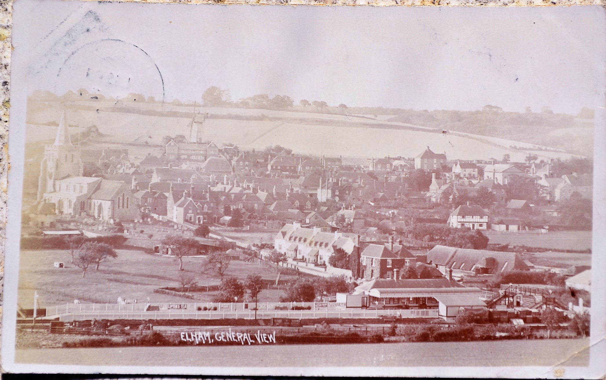
Elham railway station
Elham railway station is a disused railway station on the Elham Valley Railway which served the village of Elham in Kent and the surrounding villages....
Nearby Amenities
Located within 500m of 51.148112,1.1427186Have you been to Ladwood Wood?
Leave your review of Ladwood Wood below (or comments, questions and feedback).