Beacon Wood
Wood, Forest in Kent Canterbury
England
Beacon Wood
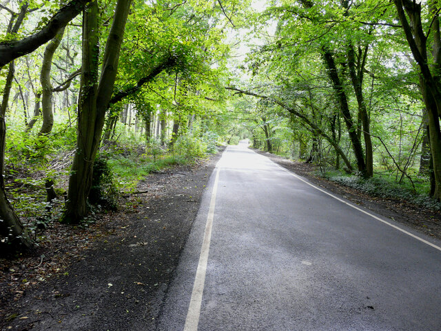
Beacon Wood, located in Kent, England, is a picturesque woodland that spans over approximately 350 acres. Nestled within the London Green Belt, this beautiful forest is a popular destination for nature enthusiasts and locals seeking tranquility away from the bustling city.
The wood is predominantly made up of mixed broadleaf trees, such as oak, beech, and silver birch, creating a diverse and vibrant ecosystem. The rich flora and fauna of Beacon Wood provide a habitat for various bird species, including woodpeckers, owls, and thrushes, making it an ideal spot for birdwatching.
Traversing the wood, visitors will find a network of well-maintained footpaths and trails that allow for leisurely walks and exploration. The pathways wind through the forest, leading visitors to hidden glades, babbling brooks, and enchanting clearings. In the spring, the wood comes alive with a carpet of colorful bluebells and daffodils, adding to its ethereal beauty.
The wood also boasts historical significance, with remnants of ancient earthworks and ditches dating back to the Iron Age. These archaeological features serve as a fascinating reminder of the area's rich heritage.
Beacon Wood is easily accessible, with ample parking facilities available for visitors. It offers a peaceful retreat from the urban landscape, providing a sanctuary for nature lovers and an opportunity to reconnect with the natural world. Whether it's a leisurely stroll, birdwatching, or simply breathing in the fresh woodland air, Beacon Wood offers a truly enchanting experience for all who visit.
If you have any feedback on the listing, please let us know in the comments section below.
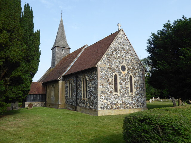
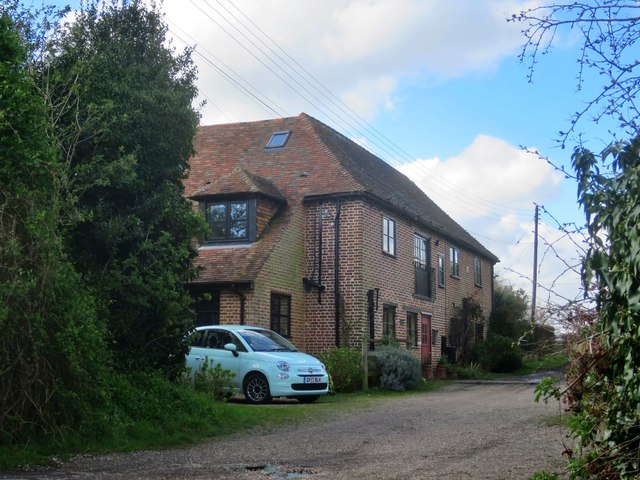
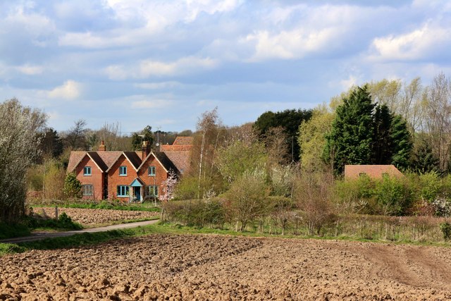
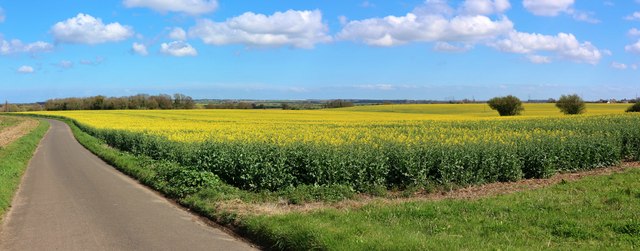
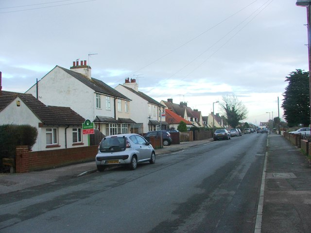
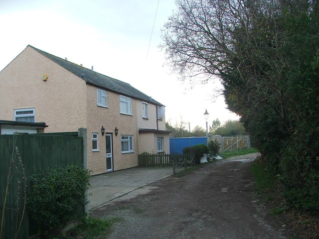
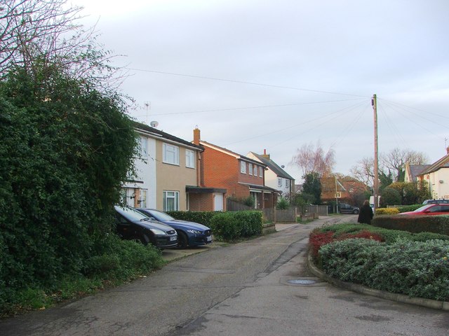
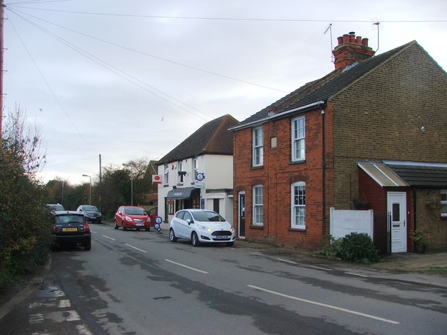
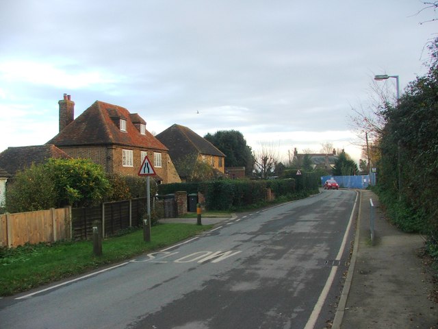
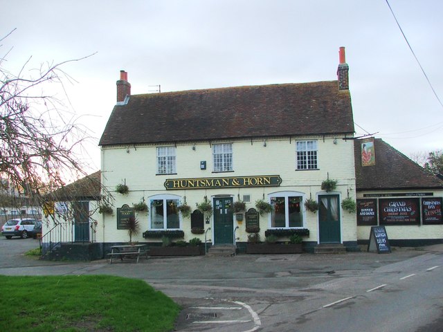
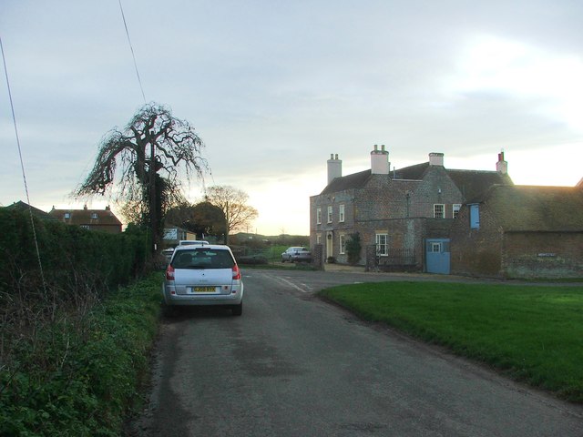
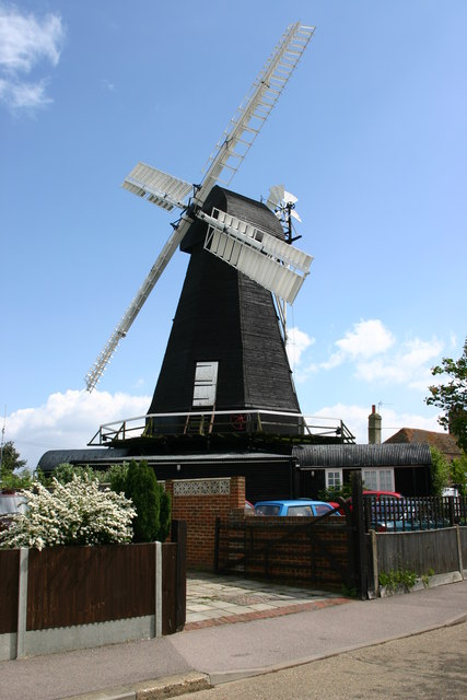
Beacon Wood Images
Images are sourced within 2km of 51.343219/1.1560274 or Grid Reference TR1965. Thanks to Geograph Open Source API. All images are credited.


Beacon Wood is located at Grid Ref: TR1965 (Lat: 51.343219, Lng: 1.1560274)
Administrative County: Kent
District: Canterbury
Police Authority: Kent
What 3 Words
///global.boots.steps. Near Herne Bay, Kent
Nearby Locations
Related Wikis

Maypole Airfield
Maypole Airfield (ICAO: EGHB) was a general aviation airfield located 2.5 miles (4.0 km) south of Herne Bay, Kent and 5.2 miles (8.4 km) north east of...
Ford Palace
Ford Palace was a residence of the Archbishops of Canterbury at Ford, about 6.6 miles (10.6 km) north-east of Canterbury and 2.6 miles (4.2 km) south-east...

Hoath
Hoath is a semi-rural village and civil parish in the City of Canterbury local government district. The hamlets of Knaves Ash, Maypole, Ford, Old Tree...

East Blean Woods
East Blean Woods is a 151.4-hectare (374-acre) biological Site of Special Scientific Interest south of Herne Bay in Kent. It is also a National Nature...

Broomfield, Herne Bay
Broomfield is a village in Kent, England, divided by the Thanet Way from the seaside town of Herne Bay. It is part of the Herne and Broomfield civil parish...
Herne and Broomfield
Herne and Broomfield is a civil parish and electoral ward within the City of Canterbury. The parish is situated to the north of Canterbury in Kent. The...
Herne, Kent
Herne is a village in South East England, divided by the Thanet Way from the seaside resort of Herne Bay. Administratively it is in the civil parish of...

Highstead
Highstead is a village near Chislet, off the A299 road, in the Canterbury District, in the English county of Kent. It is near the town of Herne Bay. Highstead...
Nearby Amenities
Located within 500m of 51.343219,1.1560274Have you been to Beacon Wood?
Leave your review of Beacon Wood below (or comments, questions and feedback).