Hospital Wood
Wood, Forest in Kent Canterbury
England
Hospital Wood
Hospital Wood is a lush forested area located in the county of Kent, in southeastern England. It is situated near the town of Tonbridge and covers an approximate area of 100 acres. The wood is named after the nearby Pembury Hospital, which has a long history of providing healthcare services to the local community.
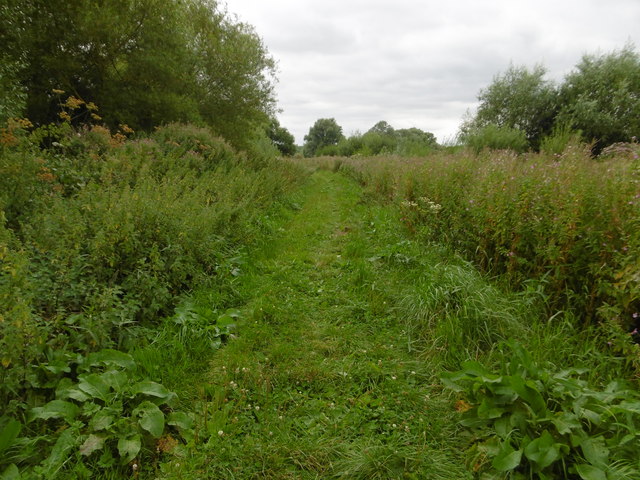
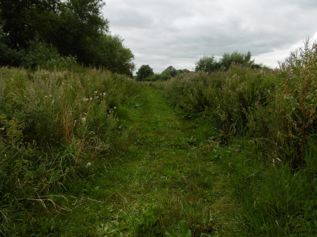
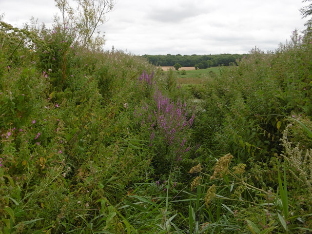
Hospital Wood is known for its diverse range of tree species, including oak, beech, ash, and birch. The dense canopy of the forest creates a serene and peaceful atmosphere, making it a popular spot for nature enthusiasts, walkers, and birdwatchers. The wood is home to a variety of wildlife, such as squirrels, badgers, deer, and a wide array of bird species.
The forest is crisscrossed by a network of well-maintained footpaths and trails, allowing visitors to explore and appreciate the natural beauty of the wood. These paths are suitable for all levels of walkers, from casual strollers to more experienced hikers. Along the trails, visitors can find informative signposts that provide details about the flora and fauna found within the wood.
Hospital Wood also offers a picnic area, where visitors can relax and enjoy a meal amidst the tranquil surroundings. The wood is easily accessible by car, with ample parking available nearby. Additionally, there are public transportation options, including bus routes, that provide convenient access to the wood.
Overall, Hospital Wood in Kent is a picturesque and idyllic forested area, providing a peaceful retreat for nature lovers and a haven for wildlife.
If you have any feedback on the listing, please let us know in the comments section below.
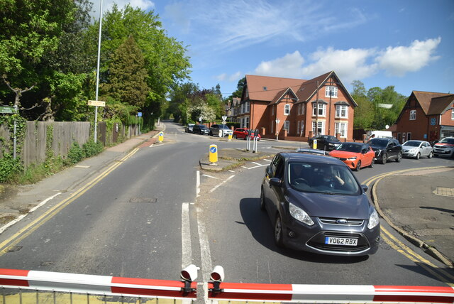
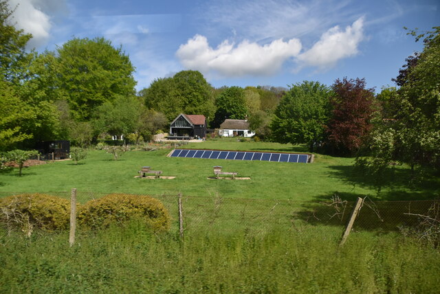
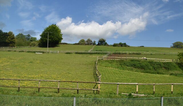
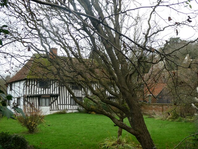
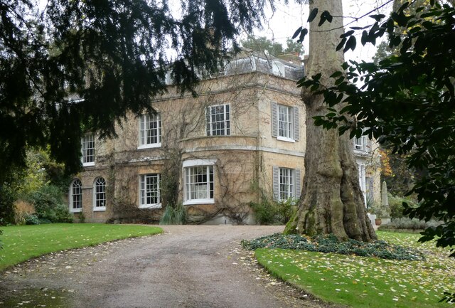
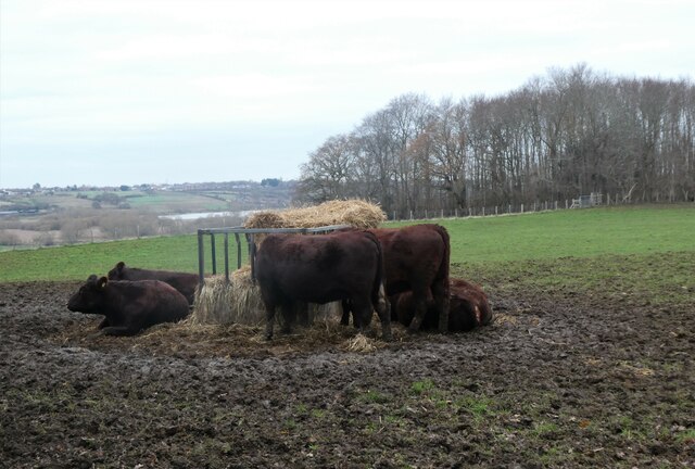
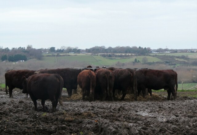
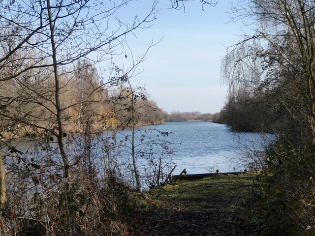
Hospital Wood Images
Images are sourced within 2km of 51.292169/1.1368003 or Grid Reference TR1859. Thanks to Geograph Open Source API. All images are credited.

Hospital Wood is located at Grid Ref: TR1859 (Lat: 51.292169, Lng: 1.1368003)
Administrative County: Kent
District: Canterbury
Police Authority: Kent
What 3 Words
///brave.looks.amounting. Near Sturry, Kent
Nearby Locations
Related Wikis

Church of St Mary the Virgin, Fordwich
The Church of St Mary the Virgin is a redundant Anglican church in the small town of Fordwich, Kent, England. It is recorded in the National Heritage...

Fordwich
Fordwich is a market town and a civil parish in east Kent, England, on the River Stour, northeast of Canterbury. It is the smallest community by population...

Fordwich Town Hall
Fordwich Town Hall is a municipal structure in King Street, Fordwich, Kent, England. The structure, which serves as the meeting place of Fordwich Town...

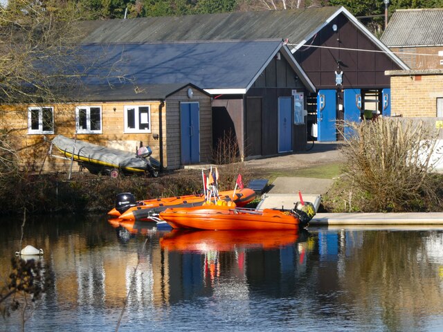
King's School Canterbury Boat Club
King's School Canterbury Boat Club is a rowing club based at Brett Sturry Quarry, Westbere Lakes, Sturry, Canterbury, Kent. == History == The club has...

St Nicholas' Church, Sturry
St Nicholas' Church, Sturry, is a joint Anglican and Methodist church standing on a bank beside the River Stour, in the village of Sturry, near Canterbury...

Tithe Barn, Sturry
The Tithe Barn, Sturry, Kent, England is a barn dating from the early 16th century. The barn was built as the tithe barn for the grange of St Augustine...
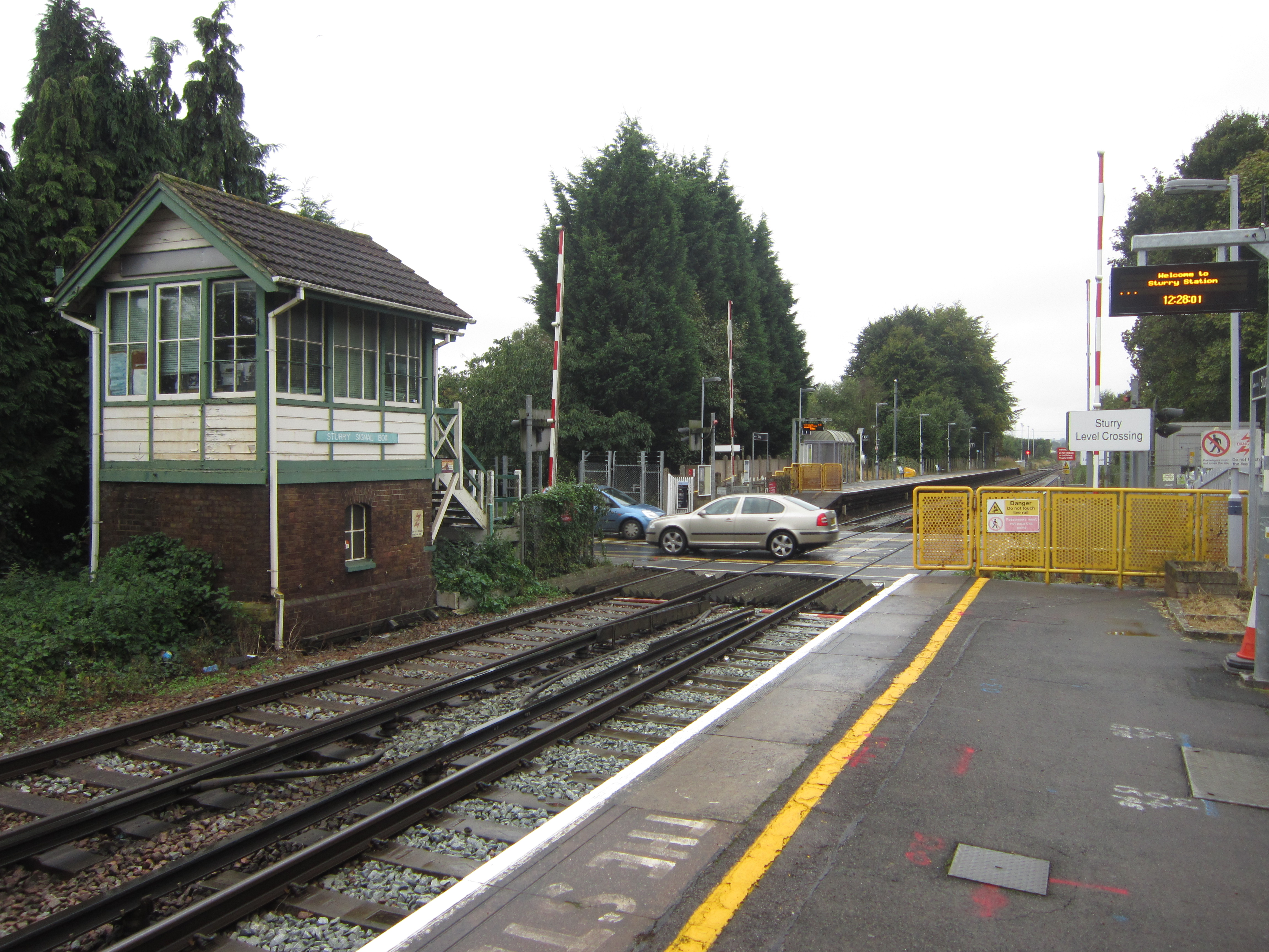
Sturry railway station
Sturry railway station is a railway station Kent, England, serving Sturry and Fordwich on the Ashford to Ramsgate line in Kent. It is 2+1⁄4 miles (3.6...

Westbere
Westbere is a small village and civil parish in Kent, England, centred 4 miles (6.4 km) north-east of Canterbury city centre along the A28 road to the...
Nearby Amenities
Located within 500m of 51.292169,1.1368003Have you been to Hospital Wood?
Leave your review of Hospital Wood below (or comments, questions and feedback).