Fordwich
Civil Parish in Kent Canterbury
England
Fordwich
Fordwich is a small civil parish located in the county of Kent, England. It is situated on the banks of the River Stour, approximately three miles northeast of the city of Canterbury. With a population of just over 400 residents, it is one of the smallest towns in the United Kingdom.
Fordwich has a long and rich history, dating back to Roman times. It was once an important port and market town, serving as a gateway to the city of Canterbury. Today, it retains its medieval charm, with many historic buildings and narrow streets.
The centerpiece of Fordwich is the Town Hall, a beautiful 16th-century timber-framed building that has been well preserved. It serves as the administrative center for the parish council and is often used for community events and meetings.
The town is also home to the Church of St. Mary the Virgin, a Norman church that dates back to the 12th century. It is known for its impressive stained glass windows and intricate stone carvings.
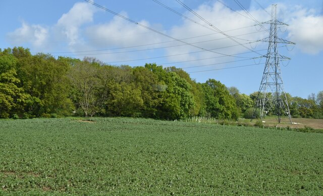
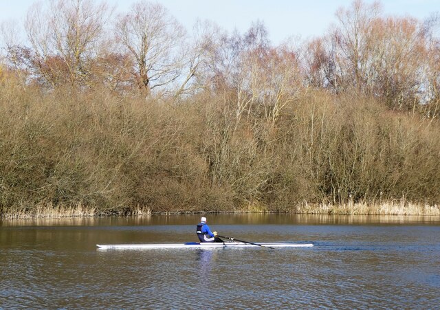
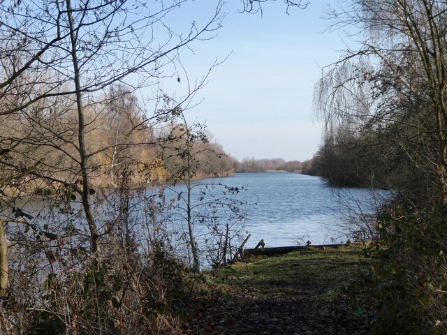
Fordwich is surrounded by picturesque countryside, making it a popular destination for nature lovers and outdoor enthusiasts. The River Stour offers opportunities for boating and fishing, and there are several scenic walking trails in the area.
Despite its small size, Fordwich has a strong community spirit and hosts various events throughout the year, including a summer fete and a Christmas market. It is a peaceful and charming place to visit, with its rich history and natural beauty attracting visitors from near and far.
If you have any feedback on the listing, please let us know in the comments section below.
Fordwich Images
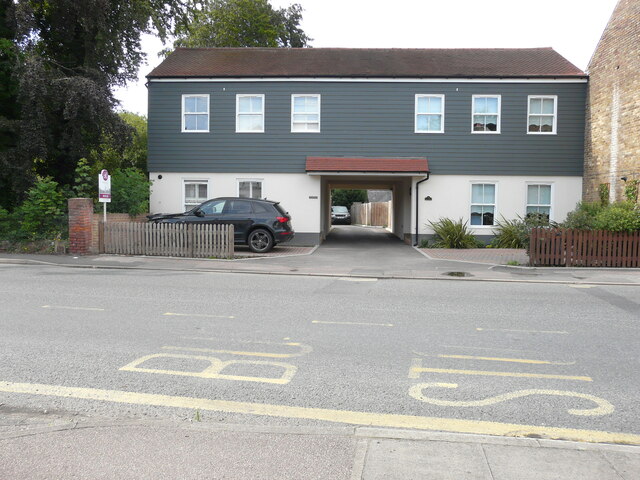
Images are sourced within 2km of 51.292123/1.126544 or Grid Reference TR1859. Thanks to Geograph Open Source API. All images are credited.


Fordwich is located at Grid Ref: TR1859 (Lat: 51.292123, Lng: 1.126544)
Administrative County: Kent
District: Canterbury
Police Authority: Kent
What 3 Words
///requiring.condition.essay. Near Sturry, Kent
Nearby Locations
Related Wikis

Fordwich
Fordwich is a market town and a civil parish in east Kent, England, on the River Stour, northeast of Canterbury. It is the smallest community by population...

Fordwich Town Hall
Fordwich Town Hall is a municipal structure in King Street, Fordwich, Kent, England. The structure, which serves as the meeting place of Fordwich Town...

Church of St Mary the Virgin, Fordwich
The Church of St Mary the Virgin is a redundant Anglican church in the small town of Fordwich, Kent, England. It is recorded in the National Heritage...

St Nicholas' Church, Sturry
St Nicholas' Church, Sturry, is a joint Anglican and Methodist church standing on a bank beside the River Stour, in the village of Sturry, near Canterbury...

Tithe Barn, Sturry
The Tithe Barn, Sturry, Kent, England is a barn dating from the early 16th century. The barn was built as the tithe barn for the grange of St Augustine...
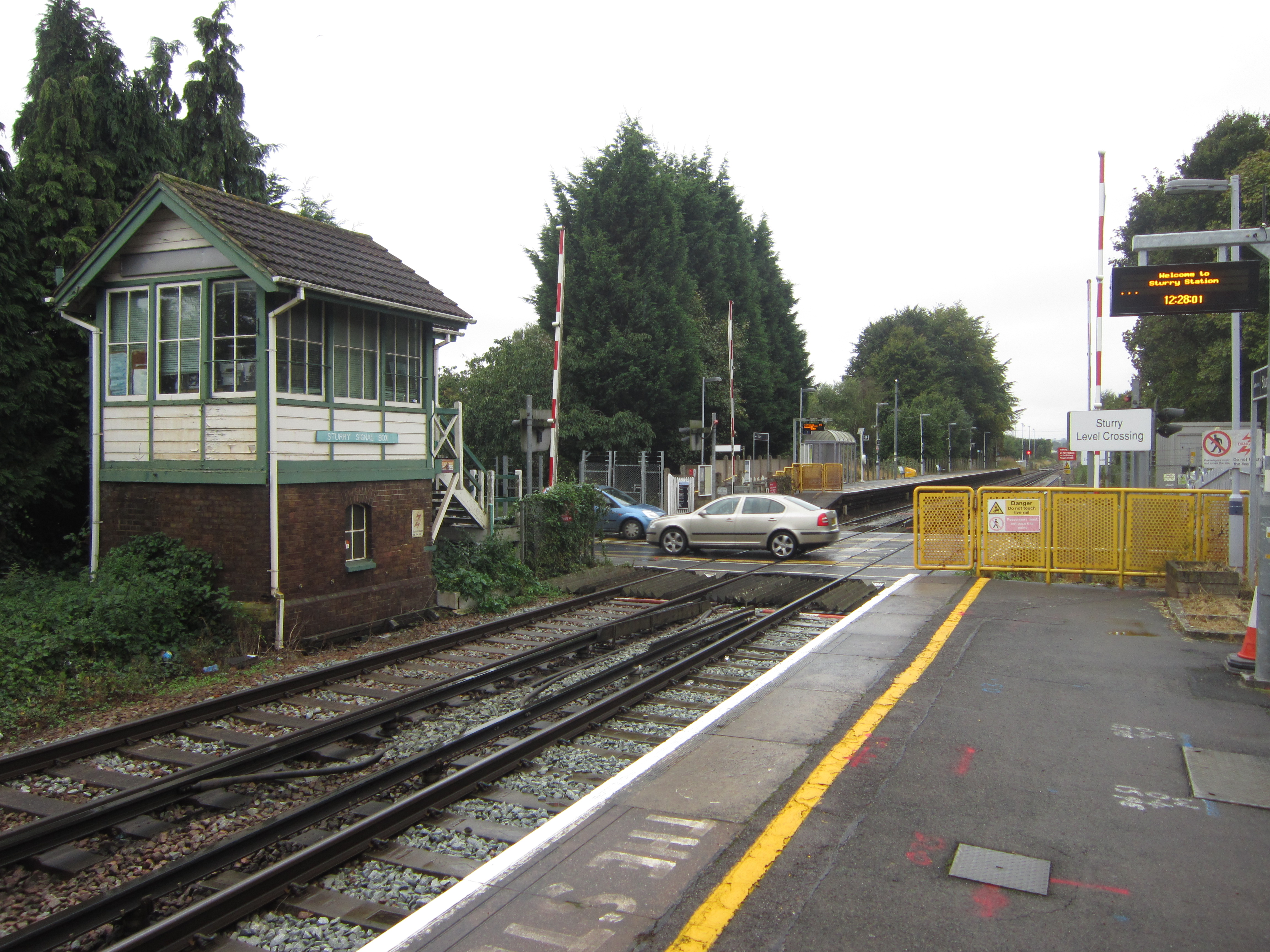
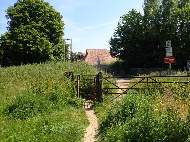
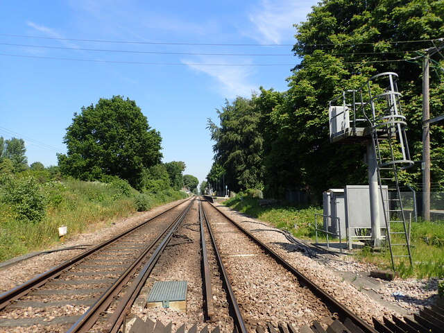
Sturry railway station
Sturry railway station is a railway station Kent, England, serving Sturry and Fordwich on the Ashford to Ramsgate line in Kent. It is 2+1⁄4 miles (3.6...

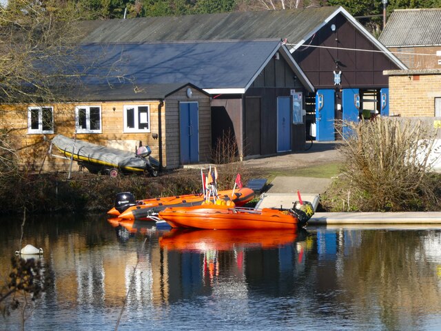
King's School Canterbury Boat Club
King's School Canterbury Boat Club is a rowing club based at Brett Sturry Quarry, Westbere Lakes, Sturry, Canterbury, Kent. == History == The club has...
Chequer's Wood and Old Park
Chequer's Wood and Old Park is a 106.9-hectare (264-acre) biological and geological Site of Special Scientific Interest on the eastern outskirts of Canterbury...
Nearby Amenities
Located within 500m of 51.292123,1.126544Have you been to Fordwich?
Leave your review of Fordwich below (or comments, questions and feedback).