Larkey's Plantation

Wood, Forest in Norfolk Broadland

England

Larkey's Plantation

Old Milestone (south face) by the B1149, Holt Road, Felthorpe Parish Carved stone post by the B1149, in parish of FELTHORPE (BROADLAND District), Holt Road, opposite No. 24, on the verge, on West side of road. Norfolk County Council pillar, erected by an unknown authority in the 19th century. An earlier photograph can be found here <a title="https://www.geograph.org.uk/photo/6616348" href="https://www.geograph.org.uk/photo/6616348">Link</a>.

Inscription reads:- : TO / HOLT / 7 / MILES : : FELTHORPE : : TO / NORWICH / 14 / MILES : 

Listed. 

Milestone Society National ID: NO_NH07.
Old Milestone (south face) by the B1149, Holt Road, Felthorpe Parish Credit: Alan Lake

Larkey's Plantation, located in Norfolk, is a sprawling woodland area known for its lush vegetation and rich biodiversity. Covering a vast expanse of land, the plantation is a treasure trove of natural beauty and offers a serene escape from the hustle and bustle of city life.

The plantation is predominantly made up of dense forest, with towering trees providing a canopy that filters the sunlight and creates a cool, shaded environment below. The forest floor is carpeted with a variety of plants, including ferns, wildflowers, and mosses, adding to the enchanting atmosphere of the area.

The diverse range of flora and fauna found in Larkey's Plantation is a testament to its ecological significance. The woods are home to numerous species of birds, including woodpeckers, owls, and songbirds, making it a haven for birdwatchers and nature enthusiasts. Squirrels, rabbits, and other small mammals can also be spotted darting through the undergrowth.

The plantation offers several walking trails and hiking paths, allowing visitors to explore its natural wonders at their own pace. These trails meander through the woods, offering breathtaking views of towering trees, babbling brooks, and occasional glimpses of wildlife.

Larkey's Plantation also plays a vital role in maintaining the region's ecosystem. The dense forest acts as a natural carbon sink, helping to mitigate climate change and improve air quality. It also serves as a natural habitat for various species, aiding in the preservation of biodiversity.

Overall, Larkey's Plantation is a remarkable natural gem in Norfolk, offering a tranquil retreat for those seeking solace in nature's embrace.

If you have any feedback on the listing, please let us know in the comments section below.

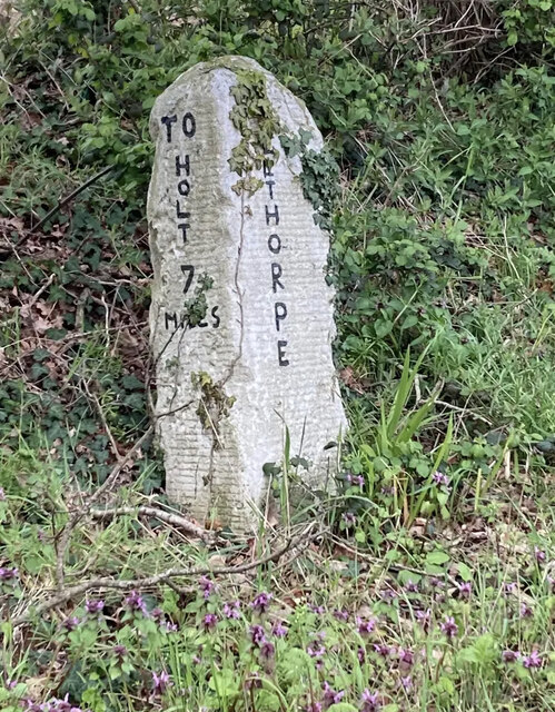
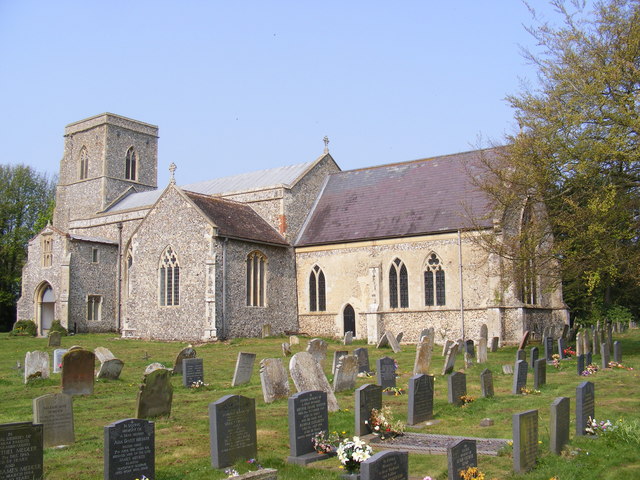
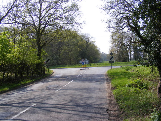
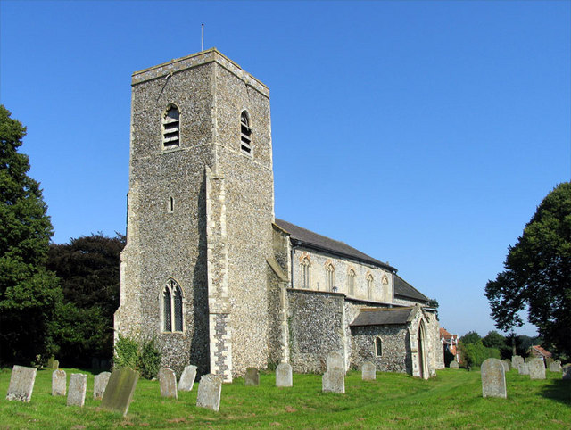
Larkey's Plantation Images

Images are sourced within 2km of 52.741226/1.2397786 or Grid Reference TG1820. Thanks to Geograph Open Source API. All images are credited.

Old Milestone (south face) by the B1149, Holt Road, Felthorpe Parish Carved stone post by the B1149, in parish of FELTHORPE (BROADLAND District), Holt Road, opposite No. 24, on the verge, on West side of road. Norfolk County Council pillar, erected by an unknown authority in the 19th century. An earlier photograph can be found here <a title="https://www.geograph.org.uk/photo/6616348" href="https://www.geograph.org.uk/photo/6616348">Link</a>.

Inscription reads:- : TO / HOLT / 7 / MILES : : FELTHORPE : : TO / NORWICH / 14 / MILES : 

Listed. 

Milestone Society National ID: NO_NH07.
Old Milestone (south face) by the B1149, Holt Road, Felthorpe Parish
Carved stone post by the B1149, in parish of FELTHORPE (BROADLAND District), Holt Road, opposite No. 24, on the verge, on West side of road. Norfolk County Council pillar, erected by an unknown authority in the 19th century. An earlier photograph can be found here Link. Inscription reads:- : TO / HOLT / 7 / MILES : : FELTHORPE : : TO / NORWICH / 14 / MILES : Listed. Milestone Society National ID: NO_NH07.
St.Botolph's Church, Hevingham Off the A140 Cromer Road
St.Botolph's Church, Hevingham
Off the A140 Cromer Road
St.Botolph's Church, Hevingham Off the A140 Cromer Road
St.Botolph's Church, Hevingham
Off the A140 Cromer Road
St.Botolph's Church, Hevingham Notice Board Off the A140 Cromer Road
St.Botolph's Church, Hevingham Notice Board
Off the A140 Cromer Road
A140 Cromer Road Looking towards Marsham
A140 Cromer Road
Looking towards Marsham
A140 Cromer Road Looking towards Stratton Strawless
A140 Cromer Road
Looking towards Stratton Strawless
The entrance to The Old Rectory Special Needs Home Off the A140 Cromer Road
The entrance to The Old Rectory Special Needs Home
Off the A140 Cromer Road
Short -Thorn Road & Short -Thorn Road Postbox Looking towards the A140 Cromer Road
Postbox No.NR10 1064
Short -Thorn Road & Short -Thorn Road Postbox
Looking towards the A140 Cromer Road Postbox No.NR10 1064
Short -Thorn Road Postbox On Short-Thorn Road
Postbox No.NR10 1064
Short -Thorn Road Postbox
On Short-Thorn Road Postbox No.NR10 1064
Short -Thorn Road Postbox On Short-Thorn Road
Postbox No.NR10 1064
In the background is a George V Postbox converted to a private residence letterbox
Short -Thorn Road Postbox
On Short-Thorn Road Postbox No.NR10 1064 In the background is a George V Postbox converted to a private residence letterbox
Short -Thorn Road Looking towards the B1149 Holt Road
Short -Thorn Road
Looking towards the B1149 Holt Road
Short -Thorn Road Looking towards the A140 Cromer Road
Short -Thorn Road
Looking towards the A140 Cromer Road
Hevingham Village Notice Board Off Short-Thorn Road
Hevingham Village Notice Board
Off Short-Thorn Road
Map of Hevingham & Stratton Strawless Parish walks Off Short-Thorn Road
Map of Hevingham & Stratton Strawless Parish walks
Off Short-Thorn Road
Map of Hevingham & Stratton Strawless Parish walks Off Short-Thorn Road
(Close up)
Map of Hevingham & Stratton Strawless Parish walks
Off Short-Thorn Road (Close up)
Short -Thorn Road At the junction with Serpentine Lane
Short -Thorn Road
At the junction with Serpentine Lane
Short -Thorn Road, Felthorpe Approaching the B1149 Holt Road
Short -Thorn Road, Felthorpe
Approaching the B1149 Holt Road
The Fox Inn, Hevingham On the A140 Cromer Road at Hevingham
<span class="nowrap"><a title="http://www.wheresbest.co.uk/venue/99484/The-Fox/" rel="nofollow ugc noopener" href="http://www.wheresbest.co.uk/venue/99484/The-Fox/">Link</a><img style="margin-left:2px;" alt="External link" title="External link - shift click to open in new window" src="https://s1.geograph.org.uk/img/external.png" width="10" height="10"/></span>
The Fox Inn, Hevingham
On the A140 Cromer Road at Hevingham LinkExternal link
Show me another place!

Larkey's Plantation is located at Grid Ref: TG1820 (Lat: 52.741226, Lng: 1.2397786)

Administrative County: Norfolk

District: Broadland

Police Authority: Norfolk

What 3 Words

///album.optimally.strays. Near Buxton, Norfolk

Nearby Locations

Larkey's Plantation

Related Wikis

St Faith's and Aylsham Rural District

St Faith's and Aylsham Rural Districts were adjacent rural districts in Norfolk, England from 1894 to 1935.They were formed under the Local Government...

Hevingham

Hevingham is a village and civil parish in the Broadland district of the English county of Norfolk. Situated between the A140 road Norwich to Cromer road...

Haveringland

Haveringland is a village and civil parish in the English county of Norfolk about 8 miles (13 km) north-west of Norwich. It covers an area of 8.91 km2...

Felthorpe

Felthorpe is a village and civil parish in the English county of Norfolk. The village is located 11 miles (18 km) east of Dereham and 7.1 miles (11.4 km...

Marsham, Norfolk

Marsham is a village and civil parish in the English county of Norfolk, about 10 miles (16 km) north of Norwich. It covers an area of 7.40 km2 (2.86 sq...

Stratton Strawless

Stratton Strawless is a village in the county of Norfolk and district of Broadland. The civil parish covers 714 acres (289 ha) and has a population of...

Cawston and Marsham Heaths

Cawston and Marsham Heaths is a 116.7-hectare (288-acre) biological Site of Special Scientific Interest north of Norwich in Norfolk.These heaths are dominated...

Brampton, Norfolk

Brampton is a small village and parish in the county of Norfolk, England, in the Bure Valley, east of Aylsham. == History == Brampton was the subject of...

Nearby Amenities

Located within 500m of 52.741226,1.2397786
Recycling
Lat/Long: 52.7409568/1.2433764
Cobbleacre Park Lakes
Phone: +44 1603754331
Tourism: camp_site
Lat/Long: 52.73955/1.24568
Post Office
Hevingham Mobile Post Office Service
Addr City: Norwich
Addr Housename: Hevingham Village Hall
Addr Postcode: NR10 5NL
Addr Street: Brick Kiln Road
Addr Village: Hevingham
Brand: Post Office
Brand Wikidata: Q1783168
Fixme: find precise location in car park
Opening Hours: We 09:00-10:00
Ref Pol Id: 140685
Source: pol_branch_list_2018-01
Lat/Long: 52.7406812/1.2428404
Barrier: yes
Lat/Long: 52.7408553/1.2465905
Colour: red and white
Marker: aerial
Note: Under the third tree from SW end of row. First tree large and green leaved, second tree purple leaved, third tree (this one) smaller and green leaved.
Utility: gas
Lat/Long: 52.7374895/1.2358259
The data included in this document is from www.openstreetmap.org. The data is made available under ODbL.

Have you been to Larkey's Plantation?

Leave your review of Larkey's Plantation below (or comments, questions and feedback).