Freebirch
Settlement in Derbyshire North East Derbyshire
England
Freebirch
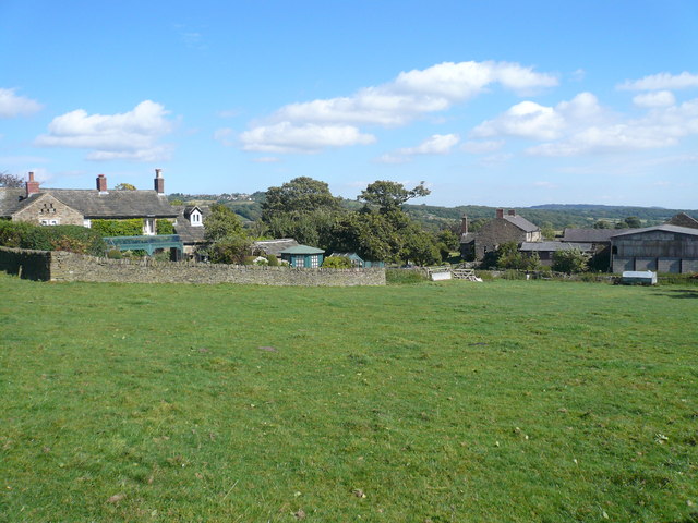
Freebirch is a charming village situated in the county of Derbyshire, England. It is located approximately 7 miles south of the market town of Ashbourne and is nestled in the picturesque countryside of the Derbyshire Dales. With a population of around 500 residents, Freebirch offers a peaceful and close-knit community.
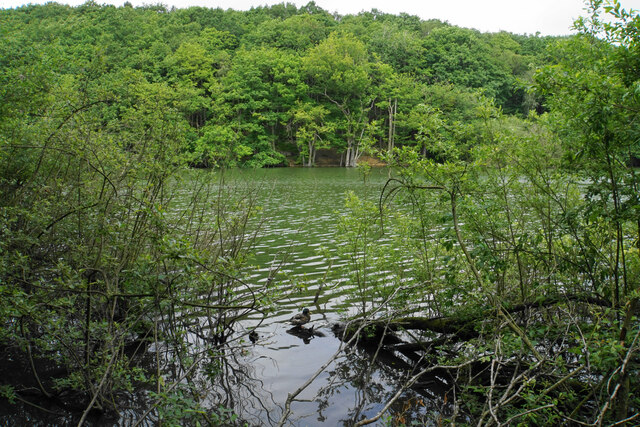
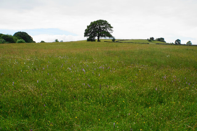
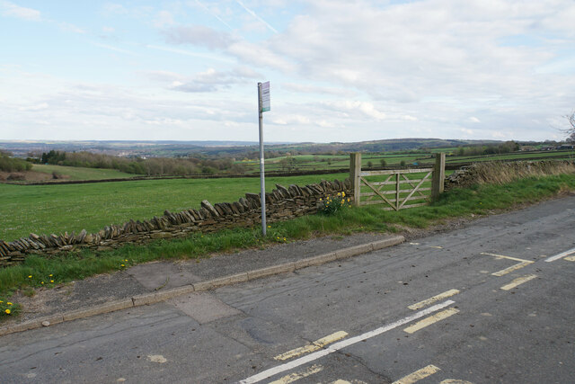
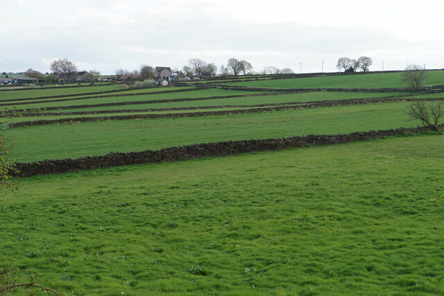
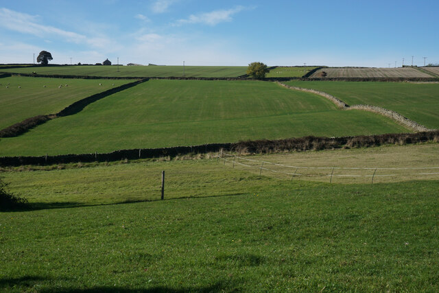
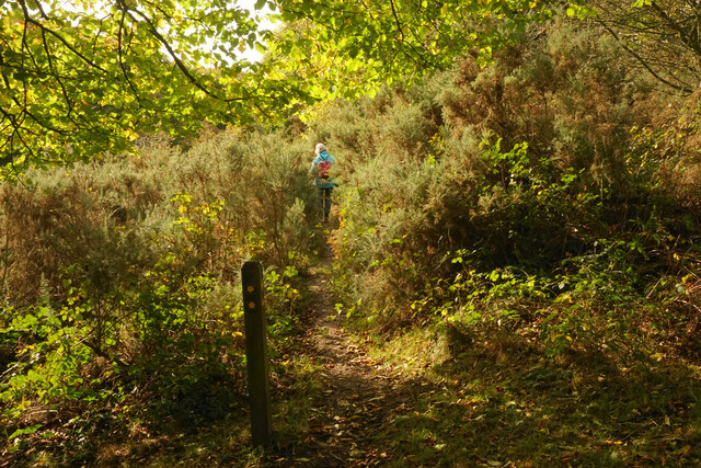
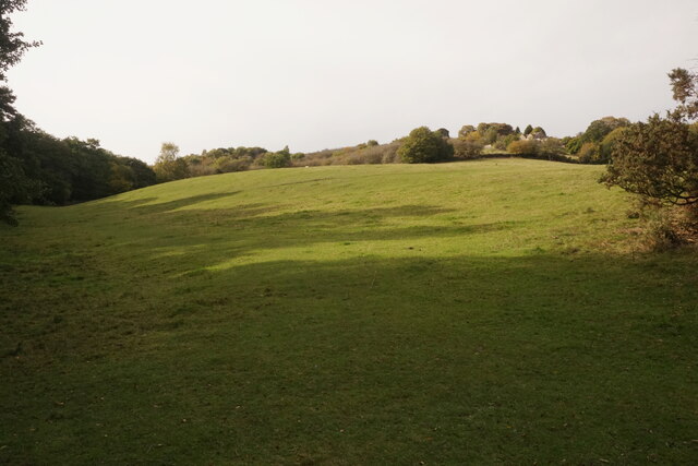
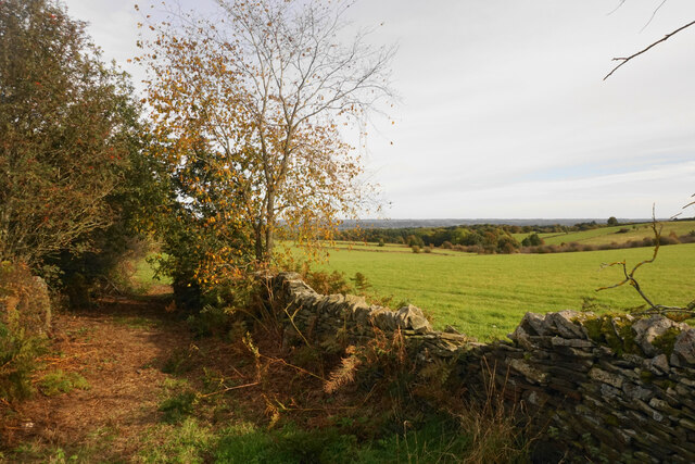
The village is known for its stunning natural beauty, with rolling hills, lush green fields, and meandering country lanes surrounding it. It is an ideal location for nature lovers, hikers, and cyclists, as it provides numerous scenic routes and trails to explore. The nearby Peak District National Park further enhances the area's appeal for outdoor enthusiasts.
Freebirch boasts a rich history, dating back to the medieval period. Many of its buildings still retain their traditional architectural style, adding to the village's charm. The local St. Mary's Church, a Grade II listed building, is a prominent feature and serves as a reminder of the area's historical significance.
Despite its small size, Freebirch offers a range of amenities for its residents, including a village hall, a primary school, and a cozy pub. The village also benefits from its proximity to Ashbourne, where residents can find a wider range of shops, supermarkets, and services.
Overall, Freebirch is a delightful rural village that offers a tranquil and idyllic lifestyle. Its natural beauty, sense of community, and historical character make it an appealing place to live or visit for those seeking a peaceful escape in the heart of the Derbyshire countryside.
If you have any feedback on the listing, please let us know in the comments section below.
Freebirch Images
Images are sourced within 2km of 53.252534/-1.5433948 or Grid Reference SK3072. Thanks to Geograph Open Source API. All images are credited.


![Guide Stoop, Eastmoor On the Northern apex of the triangular plot that encompasses Cornerstone Farm, bounded by Clodhall Lane and the B5060. This guide stone / milestone was erected in 1743 before the era of the Chesterfield and Hernstone Lane Head Turnpike Trust. There is a cancelled benchmark on the Northern face.
Inscription: Bake / well / Road / 1743 // [?] / Middle / ton / Road / [bm] // Dron / field / Road
Grade II listed, Nᴼ. 1291930
Milestone Society National ID: DE_XBRA01](https://s1.geograph.org.uk/geophotos/07/40/06/7400645_18eed8e6.jpg)
![Guide Stoop, Wardlow Wells Guide stone / milestone just to the left of the entrance to the farm on Netherfield Lane and the junction with Baslow Road, the A619.
Inscription: Tid[e]s / well / Road // Chester / Field / Road / 1731
Milestone Society National ID: tbc](https://s3.geograph.org.uk/geophotos/07/40/12/7401207_d3967f98.jpg)

Freebirch is located at Grid Ref: SK3072 (Lat: 53.252534, Lng: -1.5433948)
Administrative County: Derbyshire
District: North East Derbyshire
Police Authority: Derbyshire
What 3 Words
///breathy.grasp.indoor. Near Baslow, Derbyshire
Nearby Locations
Related Wikis

North East Derbyshire (UK Parliament constituency)
North East Derbyshire is a constituency created in 1885 represented in the House of Commons of the UK Parliament since 2017 by Lee Rowley of the Conservative...

Brampton, North East Derbyshire
Brampton is a civil parish in North East Derbyshire, England, with a population of 1,201 in 2011. Lying 130 miles (210 km) north west of London, 20 miles...

Wadshelf
Wadshelf is a small village in Derbyshire, England. It is located between Chesterfield and Baslow, just inside the Peak District national park. It is near...

Barlow Woodseats Hall
Barlow Woodseats Hall is a Grade II* listed manor house situated at Barlow Woodseats, on the edge of the village of Barlow, in Derbyshire. It remains the...

Ingmanthorpe, Derbyshire
Ingmanthorpe is a hamlet in Brampton, Derbyshire, England. Ingmanthorpe is located on the B6050 road some 3 miles (4.8 km) west of the town of Chesterfield...
Birchen Edge
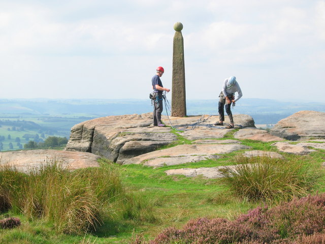
Birchen Edge is a gritstone rock face in the Peak District, England, popular with walkers and novice climbers as most of the climbing routes are in the...

Old Brampton
Old Brampton is a village in the civil parish of Brampton, in the county of Derbyshire, England. It lies 3 miles to the west of Chesterfield, on a spur...
Unthank, Derbyshire
Unthank is a hamlet in the North East Derbyshire district of Derbyshire, England. It is sited on a narrow lane on the southern slopes of the Cordwell Valley...
Nearby Amenities
Located within 500m of 53.252534,-1.5433948Have you been to Freebirch?
Leave your review of Freebirch below (or comments, questions and feedback).