Moorhay Plantation

Wood, Forest in Derbyshire North East Derbyshire

England

Moorhay Plantation

Upper Linacre Reservoir Much of it is surrounded by ancient woodland.
Upper Linacre Reservoir Credit: Bill Boaden

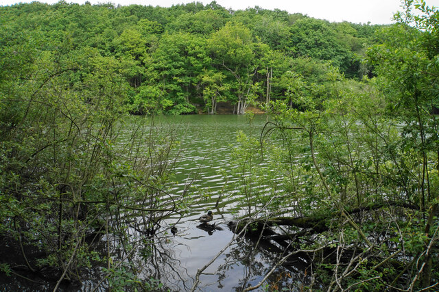
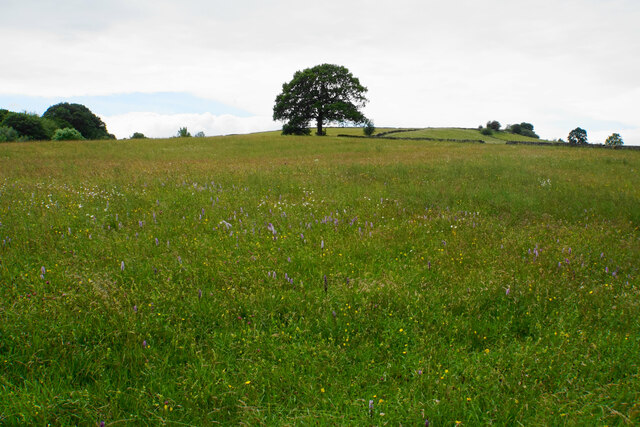
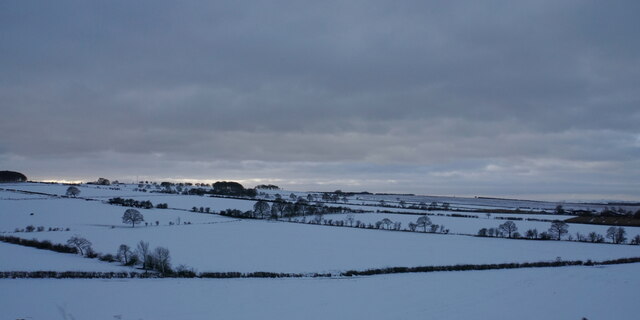
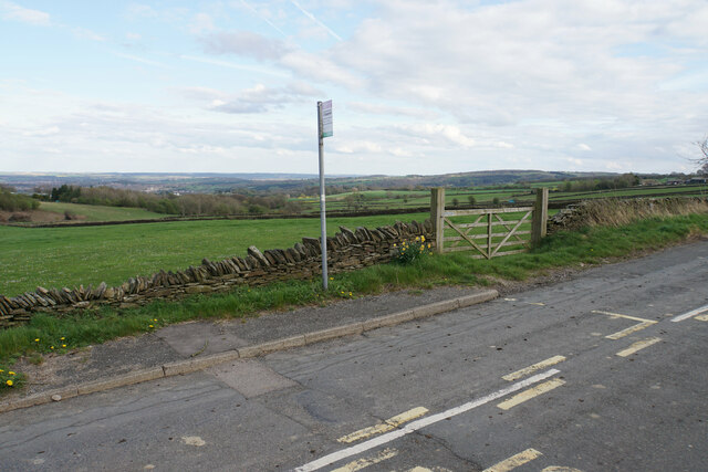
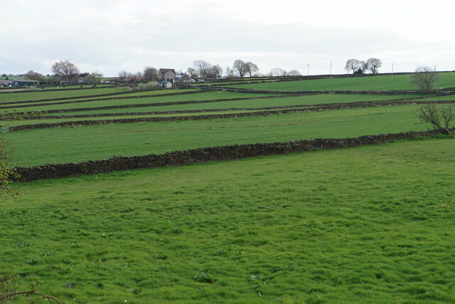
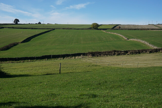
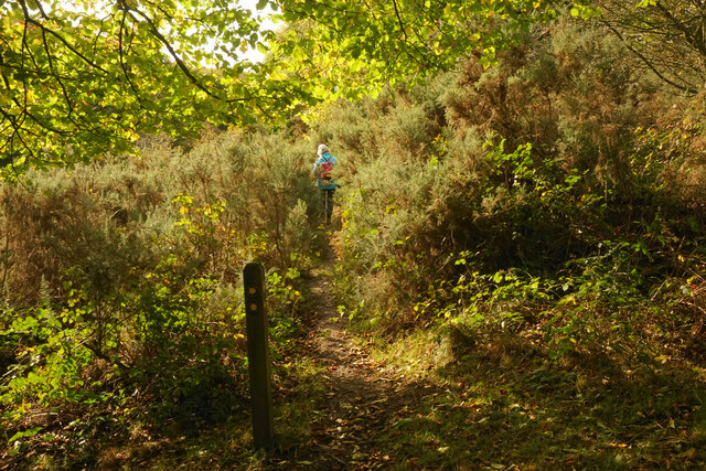
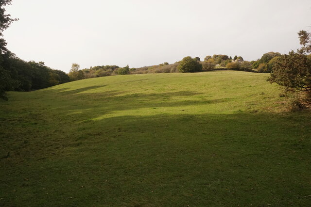
Moorhay Plantation is a picturesque woodland located in Derbyshire, England. Spanning over a vast area, the plantation is known for its diverse range of flora and fauna, making it a popular destination for nature enthusiasts and hikers alike.

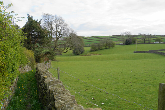
The plantation is predominantly composed of native broadleaf trees such as oak, beech, and birch, creating a rich and vibrant ecosystem. These trees provide a sheltered habitat for a variety of wildlife, including deer, rabbits, and a wide array of bird species. The plantation's dense undergrowth, consisting of ferns, brambles, and wildflowers, further enhances its ecological importance.

Visitors to Moorhay Plantation are greeted by a network of well-maintained trails that wind through the woodland, offering breathtaking views of the surrounding countryside. These trails cater to different levels of difficulty, ensuring that both casual strollers and experienced hikers can enjoy the plantation at their own pace.

The plantation is also home to a number of small ponds and streams, adding to its natural beauty. These water features attract a plethora of aquatic animals, including frogs, newts, and dragonflies, providing additional interest for visitors.

Moorhay Plantation is a haven for nature lovers seeking tranquility and a chance to connect with the natural world. Its idyllic setting, diverse wildlife, and well-maintained trails make it a must-visit destination for anyone exploring the Derbyshire countryside.

If you have any feedback on the listing, please let us know in the comments section below.

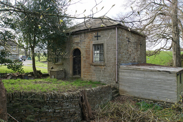
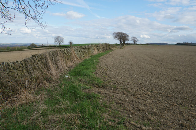
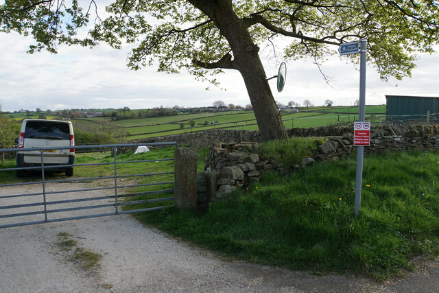
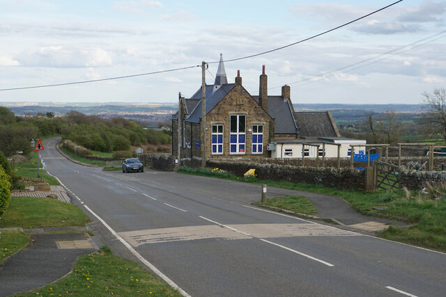
Moorhay Plantation Images

Images are sourced within 2km of 53.247248/-1.5431663 or Grid Reference SK3072. Thanks to Geograph Open Source API. All images are credited.

Upper Linacre Reservoir Much of it is surrounded by ancient woodland.
Upper Linacre Reservoir
Much of it is surrounded by ancient woodland.
Meadow above Upper Linacre Reservoir The meadow has a wide diversity of plants, including marsh orchids.
Meadow above Upper Linacre Reservoir
The meadow has a wide diversity of plants, including marsh orchids.
Snowy fields near Wadshelf Looking down from Top Lane. Many of the fields are regular rectangles.
Snowy fields near Wadshelf
Looking down from Top Lane. Many of the fields are regular rectangles.
Prepared field at Hollins Coming up from Old Brampton, this is the first bit of open field that you see, as most of the road is bounded by houses or foliage.
Prepared field at Hollins
Coming up from Old Brampton, this is the first bit of open field that you see, as most of the road is bounded by houses or foliage.
Hollins Wesleyan Chapel I think the date says 1846. The building is not now in use.
Hollins Wesleyan Chapel
I think the date says 1846. The building is not now in use.
Field boundary at Hollins An area of arable farmland with extensive views eastwards over Chesterfield.
Field boundary at Hollins
An area of arable farmland with extensive views eastwards over Chesterfield.
Footpath to Wadshelf Wadshelf is seen on top of the rise ahead. The path will have to drop and then climb again.
Footpath to Wadshelf
Wadshelf is seen on top of the rise ahead. The path will have to drop and then climb again.
Wigley Primary School A very small rural primary school with I think just two classes. The building enjoys extensive views over North East Derbyshire.
Wigley Primary School
A very small rural primary school with I think just two classes. The building enjoys extensive views over North East Derbyshire.
Bus stop by Wigley Primary School Situated on School Lane which comes from Wadshelf. There is a view over farmland  down to Chesterfield.
Bus stop by Wigley Primary School
Situated on School Lane which comes from Wadshelf. There is a view over farmland down to Chesterfield.
Fields below School Lane Fields for livestock with the village of Wadshelf in the background.
Fields below School Lane
Fields for livestock with the village of Wadshelf in the background.
Footpath leaving Wadshelf There are numerous fields for grazing. The vehicles you can see are on the A619.
Footpath leaving Wadshelf
There are numerous fields for grazing. The vehicles you can see are on the A619.
Fields below Top Lane The land is sloping up towards Beeley Moor. One characteristic is the regular field patterns.
Fields below Top Lane
The land is sloping up towards Beeley Moor. One characteristic is the regular field patterns.
Wadshelf Cottages
Wadshelf Cottages
House at Crossgates Farm
Public footpath below Wadshelf The path leaves the farm track which is the extension of Netherfield Lane. There are extensive views over the Rother valley near Chesterfield.
Public footpath below Wadshelf
The path leaves the farm track which is the extension of Netherfield Lane. There are extensive views over the Rother valley near Chesterfield.
Fields near Wadshelf Fairly old field patterns. Wadshelf is off to the left and School Lane follows the line of the wall which traverses below the top of the ridge.
Fields near Wadshelf
Fairly old field patterns. Wadshelf is off to the left and School Lane follows the line of the wall which traverses below the top of the ridge.
Public footpath near Birley Wood The path goes through a patch of head-high gorse.
Public footpath near Birley Wood
The path goes through a patch of head-high gorse.
Field above Birley Brook Looking up towards Birley Farm in the trees on the top of the hill.
Field above Birley Brook
Looking up towards Birley Farm in the trees on the top of the hill.
Show me another place!

Moorhay Plantation is located at Grid Ref: SK3072 (Lat: 53.247248, Lng: -1.5431663)

Administrative County: Derbyshire

District: North East Derbyshire

Police Authority: Derbyshire

What 3 Words

///eclipses.infants.crumple. Near Baslow, Derbyshire

Related Wikis

North East Derbyshire (UK Parliament constituency)

North East Derbyshire is a constituency created in 1885 represented in the House of Commons of the UK Parliament since 2017 by Lee Rowley of the Conservative...

Brampton, North East Derbyshire

Brampton is a civil parish in North East Derbyshire, England, with a population of 1,201 in 2011. Lying 130 miles (210 km) north west of London, 20 miles...

Wadshelf

Wadshelf is a small village in Derbyshire, England. It is located between Chesterfield and Baslow, just inside the Peak District national park. It is near...

Ingmanthorpe, Derbyshire

Ingmanthorpe is a hamlet in Brampton, Derbyshire, England. Ingmanthorpe is located on the B6050 road some 3 miles (4.8 km) west of the town of Chesterfield...
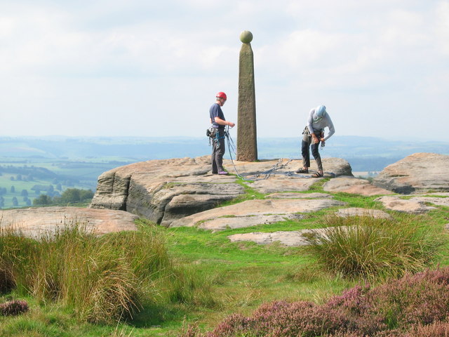
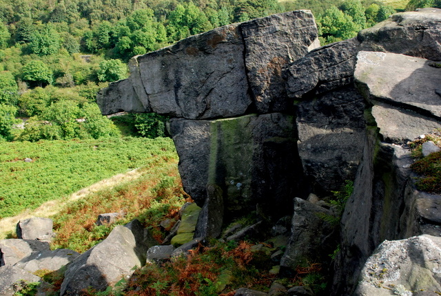
Birchen Edge

Birchen Edge is a gritstone rock face in the Peak District, England, popular with walkers and novice climbers as most of the climbing routes are in the...

Gibbet Moor

Gibbet Moor is a small gritstone upland area in the Derbyshire Peak District of central and northern England, near the village of Baslow. Its highest point...

Barlow Woodseats Hall

Barlow Woodseats Hall is a Grade II* listed manor house situated at Barlow Woodseats, on the edge of the village of Barlow, in Derbyshire. It remains the...

Old Brampton

Old Brampton is a village in the civil parish of Brampton, in the county of Derbyshire, England. It lies 3 miles to the west of Chesterfield, on a spur...

Nearby Amenities

Located within 500m of 53.247248,-1.5431663
The data included in this document is from www.openstreetmap.org. The data is made available under ODbL.

Have you been to Moorhay Plantation?

Leave your review of Moorhay Plantation below (or comments, questions and feedback).