Oakley Wood

Wood, Forest in Warwickshire Warwick

England

Oakley Wood

Banbury Road, B4100
Banbury Road, B4100 Credit: David Dixon

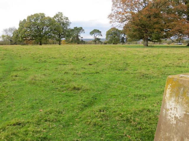
Oakley Wood is a picturesque woodland located in Warwickshire, England. Covering an area of approximately 104 acres, it is a popular destination for nature enthusiasts and those seeking tranquility amidst the natural beauty of the region.

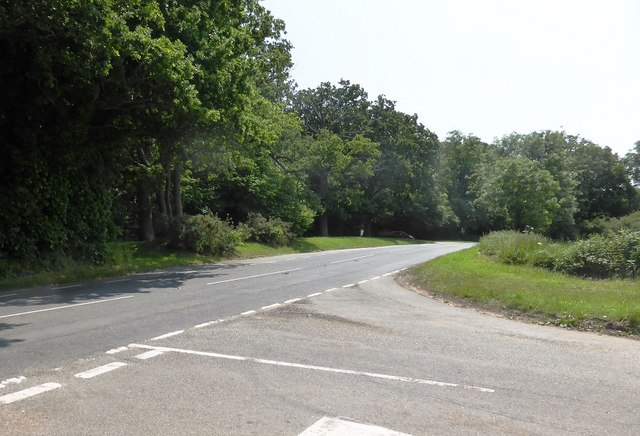
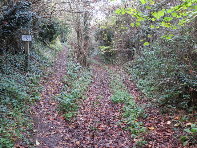
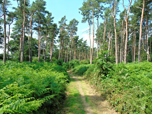
The wood is primarily composed of oak trees, hence its name, but also features a variety of other tree species, including beech, birch, and pine. The dense canopy of the trees provides a cool and shaded environment, making it an ideal spot for leisurely walks and picnics on hot summer days.

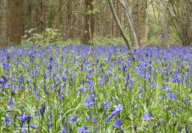
Oakley Wood is home to a diverse range of wildlife, including birds, mammals, and insects. Birdwatchers can spot a multitude of species, such as woodpeckers, owls, and warblers, while lucky visitors may even catch a glimpse of elusive mammals like foxes and deer. The wood is also rich in plant life, with carpets of bluebells decorating the forest floor in the spring.

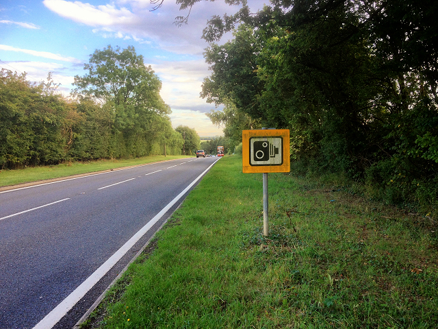
The wood offers a network of well-maintained footpaths and trails, allowing visitors to explore its natural wonders at their own pace. Along the way, informative signposts provide interesting facts about the wood's history, ecology, and conservation efforts.

Managed by the Warwickshire Wildlife Trust, Oakley Wood is a designated Site of Special Scientific Interest (SSSI). This status recognizes the wood's importance for its ecological value and its contribution to the local biodiversity. The trust actively works to maintain and protect the wood, ensuring its preservation for future generations to enjoy.

If you have any feedback on the listing, please let us know in the comments section below.

Oakley Wood Images

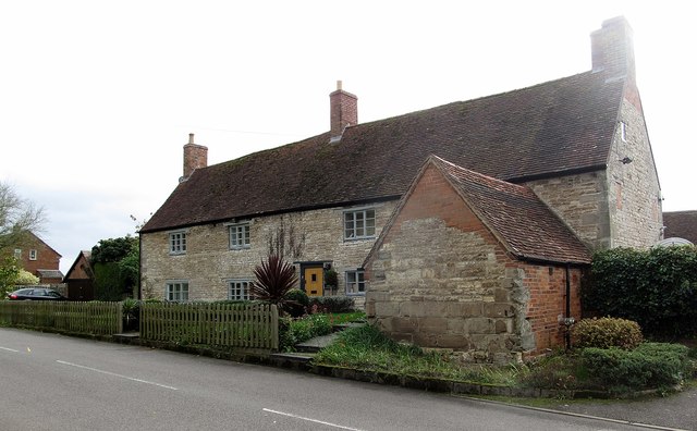
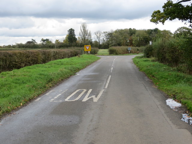
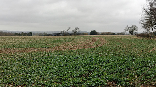
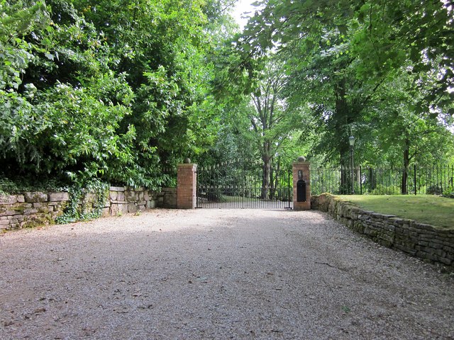
Images are sourced within 2km of 52.232511/-1.553634 or Grid Reference SP3059. Thanks to Geograph Open Source API. All images are credited.

Banbury Road, B4100
Banbury Road, B4100
B4100, Banbury Road near to Ashorne
Unibus on Banbury Road Stagecoach in Warwickshire Dennis Trident 2/Alexander ALX400 number 17059 (T659 KPU), painted in the Unibus livery is pictured here on Banbury Road,  working the X17 service to Leamington.
Unibus on Banbury Road
Stagecoach in Warwickshire Dennis Trident 2/Alexander ALX400 number 17059 (T659 KPU), painted in the Unibus livery is pictured here on Banbury Road, working the X17 service to Leamington.
Bluebells in Oakley Wood Bang on time, 1st May, the bluebells are in flower.
Bluebells in Oakley Wood
Bang on time, 1st May, the bluebells are in flower.
Bluebells in Oakley Wood Bang on time, 1st May, the bluebells are in flower.
Bluebells in Oakley Wood
Bang on time, 1st May, the bluebells are in flower.
The B4087 at Oakley Wood
Oakley Wood Old workings in a field on the road to Bishop's Tachbrook.
Oakley Wood
Old workings in a field on the road to Bishop's Tachbrook.
Covered way, South Warwickshire Crematorium, Oakley Wood It shelters the path between the office and the South Chapel, right. <span class="nowrap"><a title="https://www.warwickdc.gov.uk/info/20645/oakley_wood_crematorium" rel="nofollow ugc noopener" href="https://www.warwickdc.gov.uk/info/20645/oakley_wood_crematorium">Link</a><img style="margin-left:2px;" alt="External link" title="External link - shift click to open in new window" src="https://s1.geograph.org.uk/img/external.png" width="10" height="10"/></span>
Covered way, South Warwickshire Crematorium, Oakley Wood
It shelters the path between the office and the South Chapel, right. LinkExternal link
Ashorne Cottages At the eastern end of the village.
Ashorne Cottages
At the eastern end of the village.
Crossroads to the east of Ashorne Looking north-eastward.
Crossroads to the east of Ashorne
Looking north-eastward.
View from the Triangulation Pillar on Ashorne Hill Looking north-westward.
View from the Triangulation Pillar on Ashorne Hill
Looking north-westward.
Division of path and Bridleway to Ashorne Hill Looking north-eastward.
Division of path and Bridleway to Ashorne Hill
Looking north-eastward.
Fly-tipping in a field entrance by the B4087 south of Bishop’s Tachbrook Unexplained landforms in the field are perhaps shelter for livestock. On the right, traffic on the M40; junction 13 is left of centre. The B4087 Tachbrook Road-Oakley Wood Road comes south from Leamington: a common sight is a funeral cortège heading for the Mid-Warwickshire Crematorium in Oakley Wood <a href="https://www.geograph.org.uk/photo/3466342">SP3059 : Mid Warwickshire Crematorium, South Chapel</a>.
Fly-tipping in a field entrance by the B4087 south of Bishop’s Tachbrook
Unexplained landforms in the field are perhaps shelter for livestock. On the right, traffic on the M40; junction 13 is left of centre. The B4087 Tachbrook Road-Oakley Wood Road comes south from Leamington: a common sight is a funeral cortège heading for the Mid-Warwickshire Crematorium in Oakley Wood SP3059 : Mid Warwickshire Crematorium, South Chapel.
The M40 runs under a footbridge
Ashorne Hill House
Ashorne Hill House
Solar farm by Tollgate Farm Glimpsed from the B4087 Oakley Wood Road; the northeastern edge is visible from the M40. The panels face south in rows running east-west. The land falls away to the northeast (right to left in the photo), from about 85m down to 75m. The site covers perhaps nine hectares.
Solar farm by Tollgate Farm
Glimpsed from the B4087 Oakley Wood Road; the northeastern edge is visible from the M40. The panels face south in rows running east-west. The land falls away to the northeast (right to left in the photo), from about 85m down to 75m. The site covers perhaps nine hectares.
Path through Oakley Wood
Ashorne Hall Gateway On Ashorne Hill.
Ashorne Hall Gateway
On Ashorne Hill.
Show me another place!

Oakley Wood is located at Grid Ref: SP3059 (Lat: 52.232511, Lng: -1.553634)

Administrative County: Warwickshire

District: Warwick

Police Authority: Warwickshire

What 3 Words

///fuels.leaned.leathers. Near Wellesbourne, Warwickshire

Nearby Locations

Oakley Wood

Related Wikis

Nearby Amenities

Located within 500m of 52.232511,-1.553634
Bus Stop
Crematorium
Bus: yes
Naptan AtcoCode: 4200F147230
Naptan Bearing: N
Naptan CommonName: Crematorium
Naptan Indicator: Opp
Naptan Landmark: Crematorium
Naptan NaptanCode: wardgwpm
Naptan Street: Oakley Wood Road
Naptan Verified: no
Public Transport: platform
Shelter: no
Source: naptan_import
Lat/Long: 52.2341762/-1.5603875
Bus Stop
Moreton Morrell Road
Bench: no
Bin: no
Bus: yes
Lit: no
Naptan AtcoCode: 4200F150011
Naptan Bearing: NW
Naptan CommonName: Moreton Morrell Road
Naptan Indicator: Adj
Naptan NaptanCode: wardjgjt
Naptan Street: Banbury Road
Naptan Verified: no
Public Transport: platform
Shelter: no
Source: naptan_import
Tactile Paving: no
Lat/Long: 52.2313599/-1.5482165
Moreton Morrell Road
Naptan AtcoCode: 4200F150012
Naptan Bearing: SE
Naptan BusStopType: CUS
Naptan CommonName: Moreton Morrell Road
Naptan Indicator: Opp
Naptan NaptanCode: wardjgjw
Naptan Street: Banbury Road
Naptan Verified: no
Source: naptan_import
Lat/Long: 52.2314399/-1.547996
Parking
Lat/Long: 52.2334125/-1.5598431
Oakley Wood Camp
Description: Possibly an Iron Age Fort or remains of ancient woodland management
Historic: archaeological_site
Lat/Long: 52.2308831/-1.5523297
Parking
Access: yes
Fee: no
Parking: layby
Lat/Long: 52.2346021/-1.550738
Post Box
Collection Times: Mo-Fr 16:15; Sa 10:45
Operator: Royal Mail
Operator Wikidata: Q638098
Post Box Design: hovis
Post Box Mounting: telegraph_pole
Post Box Type: lamp
Ref: CV33 52
Royal Cypher: VR
Royal Cypher Wikidata: Q33102356
Source: survey
Lat/Long: 52.2320957/-1.5490619
Board Type: wildlife
Information: board
Tourism: information
Lat/Long: 52.2345737/-1.5562158
Board Type: wildlife
Information: board
Tourism: information
Lat/Long: 52.2312021/-1.5541434
Give Way
Direction: forward
Lat/Long: 52.2359296/-1.5517089
Direction: both
Maxspeed: 50 mph
Traffic Sign: maxspeed
Traffic Sign 2: GB:501
Traffic Sign 3: GB:503
Traffic Sign 3 Direction: forward
Traffic Sign 3 Distanceto: 140 yards
Traffic Sign Direction: forward
Traffic Sign Forward: GB:501
Lat/Long: 52.236354/-1.5504748
Direction: backward
Traffic Sign: GB:622.1A
Traffic Sign 2: GB:602
Traffic Sign 2 Direction: forward
Traffic Sign Backward: GB:622.1A
Traffic Sign Direction: backward
Traffic Sign Forward: GB:602
Traffic Sign Maxweightrating: 7.5
Traffic Sign Maxweightrating Conditional: none @ delivery
Lat/Long: 52.2359684/-1.5515918
Stop
Direction: backward
Stop: minor
Lat/Long: 52.2331253/-1.5600957
Frequency: 50
Material: wood
Operator: National Grid Electricity Distribution
Operator Wikidata: Q7988183
Power: pole
Ref: 932352
Source: wpd_opendata
Transformer: distribution
Voltage Primary: 11000
Voltage Secondary: 400
Lat/Long: 52.2336807/-1.5480168
Material: wood
Operator: National Grid Electricity Distribution
Operator Wikidata: Q7988183
Power: pole
Source: bing
Lat/Long: 52.2341603/-1.5473221
Give Way
Direction: forward
Lat/Long: 52.2320883/-1.5598031
Give Way
Direction: backward
Lat/Long: 52.2323024/-1.559773
Give Way
Direction: backward
Lat/Long: 52.233768/-1.5605643
The data included in this document is from www.openstreetmap.org. The data is made available under ODbL.

Have you been to Oakley Wood?

Leave your review of Oakley Wood below (or comments, questions and feedback).