Fir Grove

Wood, Forest in Norfolk Broadland

England

Fir Grove

Wood Farm Vernacular farm buildings at Wood Farm
Wood Farm Credit: P Gaskell

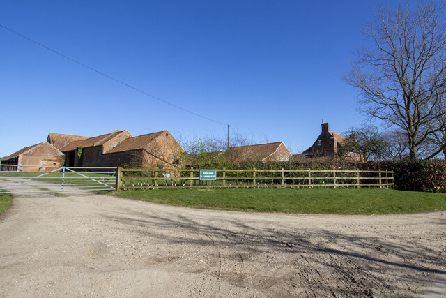
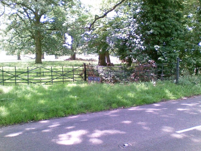
Fir Grove, located in Norfolk, England, is a picturesque woodland area that boasts a diverse range of plant and animal life. Spread across several acres, this enchanting forest is known for its magnificent fir trees, which dominate the landscape and give the grove its name.

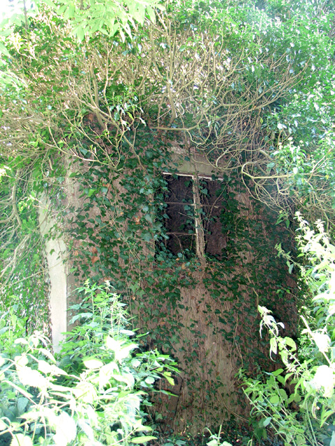
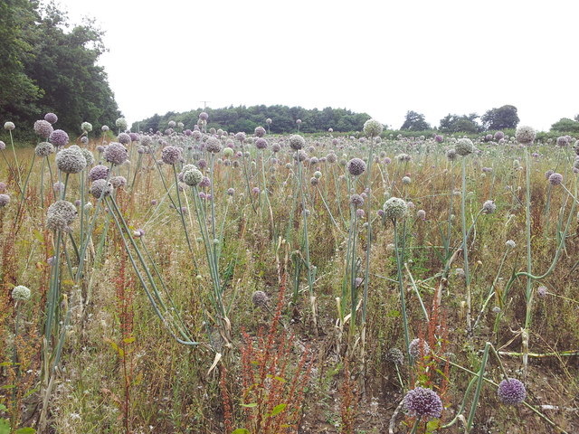
The woodland is characterized by its dense vegetation, comprised of a variety of tree species including oak, beech, and birch. The towering firs, with their needle-like leaves and distinctive cones, create a serene and peaceful atmosphere, providing shelter and shade for numerous wildlife species.

Fir Grove is home to a rich array of fauna, making it a popular destination for nature enthusiasts and bird watchers. The forest is inhabited by a wide range of bird species, including woodpeckers, owls, and various songbirds. Visitors may also catch a glimpse of small mammals such as squirrels, rabbits, and foxes, as well as occasional sightings of deer and badgers.

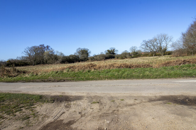
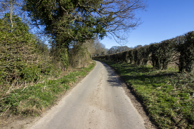
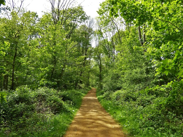
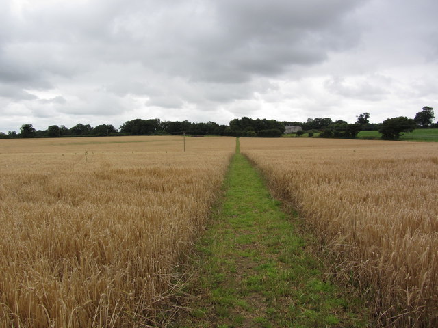
The woodland is crisscrossed by a network of footpaths, allowing visitors to explore its natural beauty at their leisure. Walking through the grove, visitors can admire the vibrant colors of wildflowers, listen to the soothing sounds of nature, and breathe in the fresh scent of pine.

Fir Grove offers a tranquil retreat from the hustle and bustle of everyday life. Whether it is a leisurely stroll, a picnic, or simply a moment of quiet contemplation, this forest provides a serene escape for those seeking solace in nature's embrace.

If you have any feedback on the listing, please let us know in the comments section below.
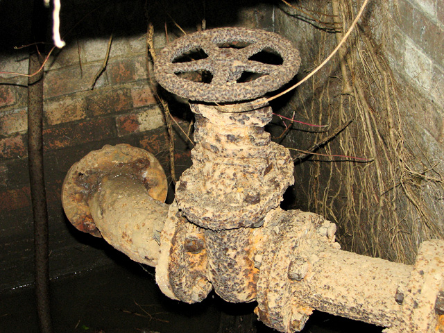
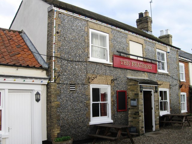
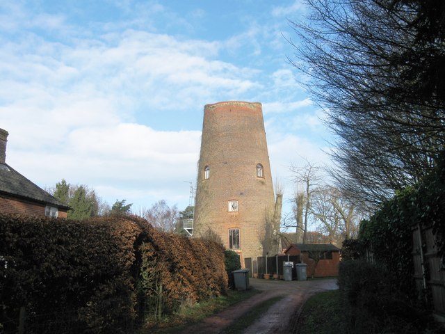
Fir Grove Images

Images are sourced within 2km of 52.794015/1.2167456 or Grid Reference TG1626. Thanks to Geograph Open Source API. All images are credited.

Wood Farm Vernacular farm buildings at Wood Farm
Wood Farm
Vernacular farm buildings at Wood Farm
Abel Heath Open access land at Abel Heath
Abel Heath
Open access land at Abel Heath
Aylsham Road Hedgerows and hedgerow trees on Aylsham Road
Aylsham Road
Hedgerows and hedgerow trees on Aylsham Road
Blickling Estate Boundary Walk Entering the Long Plantation heading towards The Tower
Blickling Estate Boundary Walk
Entering the Long Plantation heading towards The Tower
Field, Blickling
Field, Blickling
Ivy-clad building on the edge of Oulton Belt See also > <a title="https://www.geograph.org.uk/photo/687213" href="https://www.geograph.org.uk/photo/687213">Link</a>. This was a pumping station serving the RAF Oulton campsites adjoining it in the west and south-west.
Ivy-clad building on the edge of Oulton Belt
See also > Link. This was a pumping station serving the RAF Oulton campsites adjoining it in the west and south-west.
Pumphouse interior Vandals have smashed the thick concrete cover, making the building dangerous to enter. There is no telling as to how deep the drop or the accumulation of black liquid at the bottom might be. For an exterior view see > <a title="https://www.geograph.org.uk/photo/687213" href="https://www.geograph.org.uk/photo/687213">Link</a>.
Pumphouse interior
Vandals have smashed the thick concrete cover, making the building dangerous to enter. There is no telling as to how deep the drop or the accumulation of black liquid at the bottom might be. For an exterior view see > Link.
Pumphouse interior Vandals have smashed the thick concrete cover and the adjoining manhole cover has been removed, making the building dangerous to enter. There is no telling as to how deep the drop or the accumulation of black liquid at the bottom might be. For an exterior view see > <a title="https://www.geograph.org.uk/photo/687213" href="https://www.geograph.org.uk/photo/687213">Link</a>.
Pumphouse interior
Vandals have smashed the thick concrete cover and the adjoining manhole cover has been removed, making the building dangerous to enter. There is no telling as to how deep the drop or the accumulation of black liquid at the bottom might be. For an exterior view see > Link.
Pumphouse interior Vandals have smashed the thick concrete cover, making the building dangerous to enter. There is no telling as to how deep the drop or the accumulation of black liquid at the bottom might be. This is one of the underground pipes. For an exterior view see > <a title="https://www.geograph.org.uk/photo/687213" href="https://www.geograph.org.uk/photo/687213">Link</a>.
Pumphouse interior
Vandals have smashed the thick concrete cover, making the building dangerous to enter. There is no telling as to how deep the drop or the accumulation of black liquid at the bottom might be. This is one of the underground pipes. For an exterior view see > Link.
On the Weaver's Way leading towards Silvergate, northwest  of Aylsham
On the Weaver's Way leading towards Silvergate, northwest of Aylsham
The Feathers
The Feathers
Converted windmill
Converted windmill
Marriott's Way near Alysham
Marriott's Way at Woodgate's Crossing
A stunning field of Purple Allium flowers
Bees actively gathering food from Purple Allium plants
Track past Manor Farm
Track near Stonegate Farm
Show me another place!

Fir Grove is located at Grid Ref: TG1626 (Lat: 52.794015, Lng: 1.2167456)

Administrative County: Norfolk

District: Broadland

Police Authority: Norfolk

What 3 Words

///unfit.warthog.prefer. Near Aylsham, Norfolk

Nearby Locations

Fir Grove Furze Plantation

Related Wikis

Cawston Road Mill, Aylsham

Cawston Road Mill is a tower mill at Aylsham, Norfolk, England which has been truncated and converted for use as a holiday home. == History == Cawston...

The Mermaid (river)

The Mermaid (river) is a minor tributary of the River Bure in Norfolk, England, and is approximately 6 kilometres (3.7 mi) in length. == Course == The...

Blickling

Blickling is a village and civil parish in the Broadland district of Norfolk, England, about 1.5 miles (2.4 km) north-west of Aylsham. In the 2011 census...

Blickling Hall

Blickling Hall is a Jacobean stately home situated in 5,000 acres of parkland in a loop of the River Bure, near the village of Blickling north of Aylsham...

Church of St Michael, Aylsham

The Church of St Michael and All Angels, Aylsham, Norfolk, is a church of medieval origins that was built in the 14th century under the patronage of John...

Aylsham Town Hall

Aylsham Town Hall is a municipal building in the Market Place in Aylsham, Norfolk, England. The structure, which accommodates the offices and meeting place...

RAF Oulton

Royal Air Force Oulton or more simply RAF Oulton is a former Royal Air Force satellite station located 3 miles (4.8 km) west of Aylsham, Norfolk and 12...

Aylsham South railway station

Aylsham South railway station served the town of Aylsham in Norfolk from 1880 to 1981. The period station buildings were subsequently demolished in 1990...

Nearby Amenities

Located within 500m of 52.794015,1.2167456
Power: pole
Lat/Long: 52.7937089/1.2096441
Power: pole
Lat/Long: 52.7940317/1.2113902
Power: pole
Lat/Long: 52.7943788/1.2131792
Power: pole
Lat/Long: 52.7947031/1.2150755
Power: pole
Lat/Long: 52.7950924/1.2170175
Power: pole
Lat/Long: 52.795583/1.2183076
Power: pole
Lat/Long: 52.7961466/1.2196434
Power: pole
Lat/Long: 52.7965764/1.2207752
Power: pole
Lat/Long: 52.7970791/1.2220493
The data included in this document is from www.openstreetmap.org. The data is made available under ODbL.

Have you been to Fir Grove?

Leave your review of Fir Grove below (or comments, questions and feedback).